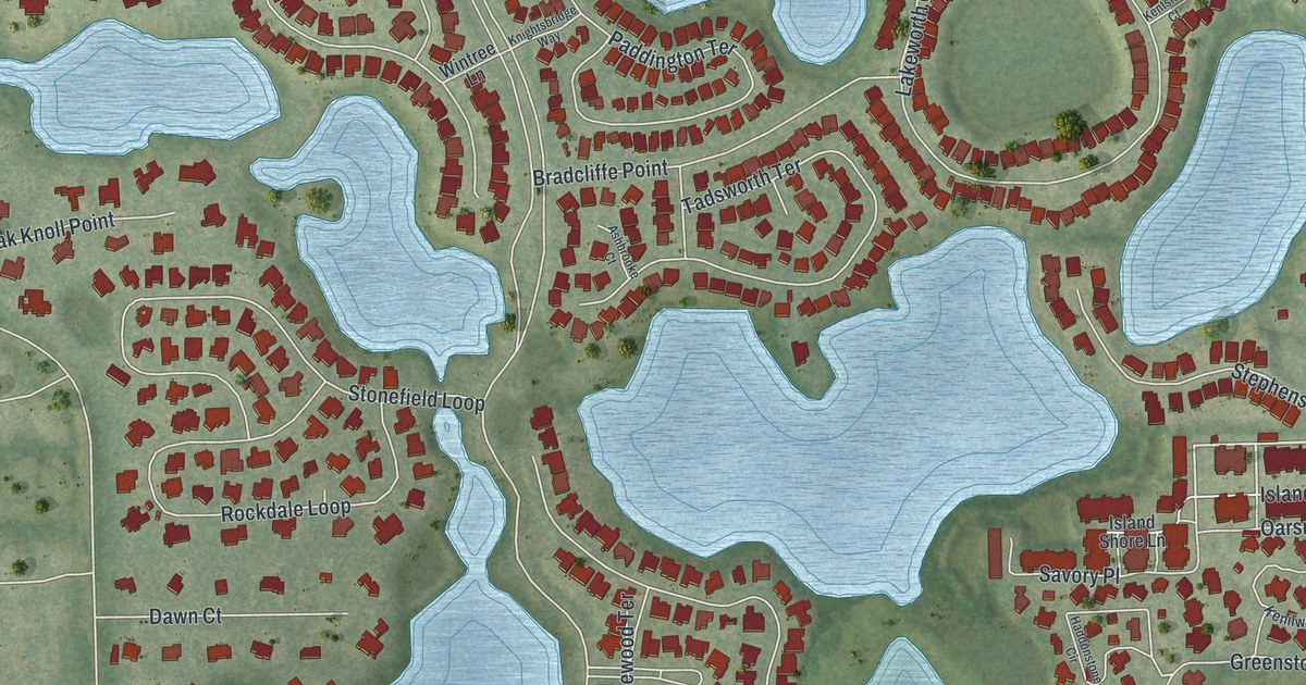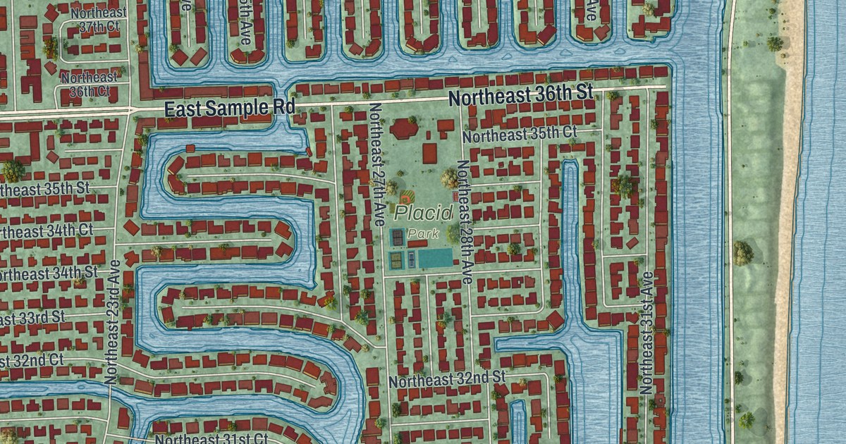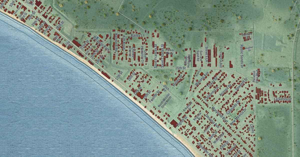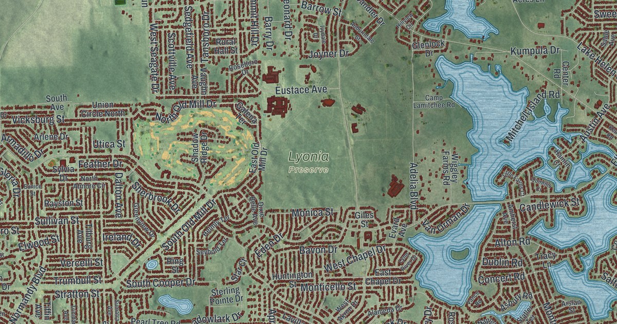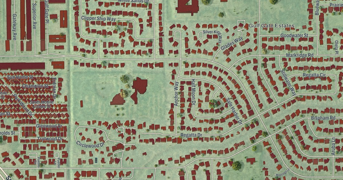
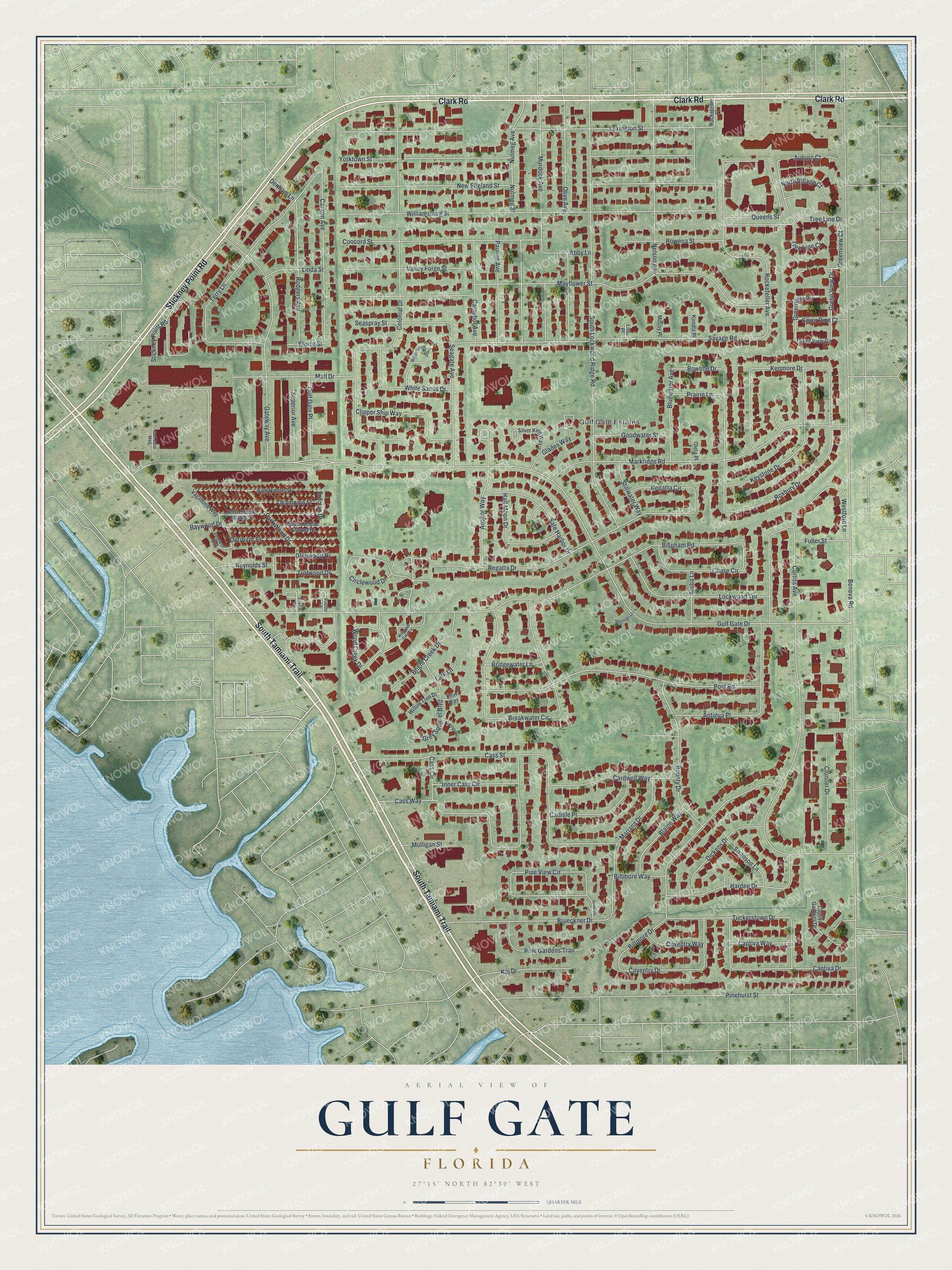
This beautifully detailed map of Gulf Gate, Florida was created in 2026 using aerial imagery combined with modern topographical, census, street and landmark data. It's a modern aerial view of Gulf Gate in Sarasota County, Florida, that combines modern data with a vintage aesthetic. The roads feature printed names, and if you look closely you can find your exact house accurately shown in its correct location.
Explore an aerial view of Gulf Gate, Florida
On this map you'll find Gulf Gate Estates, South Tamiami Trail, Clark Road, Stickney Point Road, Rockefeller Avenue, Gulf Gate Drive, Greenview Circle, Carlton Avenue, Wood Creek Drive, Silver Pine Court, Roxbury Drive, Bowline Drive, and more. Each red shape is a building, so zoom in on the preview and look for yours.
Gulf Gate is a community in Sarasota County. The Census Bureau counted 7,340 people here in 2020. The map prints the town name in its title panel, with the coordinates below it.
Take a closer look at the Gulf Gate map
Names on this map
These names are printed on this map.
Places: Gulf Gate Estates.
Streets and roads: South Tamiami Trail, Clark Road, Stickney Point Road, Rockefeller Avenue, Gulf Gate Drive, Greenview Circle, Carlton Avenue, Wood Creek Drive, Silver Pine Court, Roxbury Drive, Bowline Drive, Hardee Drive.
More street names, A to Z
Abby Lane, Anchor Way, Antigua Place, Aruba Lane, Auburn Court, Baywood Drive, Beneva Road, Biltmore Drive, Biltmore Way, Bispham Road, Blaine Way, Bluewater Avenue, Bounty Drive, Breakwater Circle, Bridgewater Lane, Bright Creek Drive, Brueckner Drive, Camphor Avenue, Captiva Drive, Captiva Gardens Drive, Captiva Way, Cardwell Way, Carlisle Place, Cass Circle, Cass Street, Cass Way, Champion Street, Chase Circle, Circlewood Drive, Clipper Ship Way, Cloister Drive, Colonial Drive, Concord Street, Coventry Drive, Coventry Way, Curtiss Avenue, Denham Lane, Detroiter Street, Dickens Drive, Elfin Way, Eloise Street, Erdman Drive, Fuller Street, Gateway Avenue, Glades Way, Glenwood Drive, Goodwater Street, Green View Circle, Greenview Court, Green View Drive, Grey Squirrel Boulevard, Gulf Gate Mall, Gulf Gate Place, Half Moon Drive, Inner Cass Circle, Kai Drive, Kenmore Drive, Keystone Drive, Kondla Place, Lark Lane, Lexington Street, Lilac Place, Linda Street, Lockwood Terrace, Mall Drive, Mariana Drive, Markridge Road, Mayflower Street, Moorings Lane, Mosby Place, Mulligan Street, Murdock Avenue, Nelson Avenue, New England Street, North Mobile Estates Drive, North Village Court, Nutmeg Avenue, Nutmeg Street, Oleta Place, Olive Avenue, Park Wood Drive, Pauline Avenue, Peerless Way, Pine Gardens Trail, Pinehurst Street, Pine View Circle, Pineview Circle, Post Road, Prairie Lane, Pueblo Circle, Pueblo Lane, Queens Street, Regatta Circle, Regatta Drive, Reynolds Street, Rockefeller Place, Rodgers Avenue, Rowena Street, Safe Harbor Drive, Savage Road, Seagate Avenue, Seaspray Street, Silver King Way, South Lockwood Ridge Road, South Mobile Estates Drive, Springsong Drive, Stillwater Way, Sun Home Street, Superior Avenue, Swanson Lane, Terry Lane, Tree Line Court, Tree Line Drive, Trotwood Drive, Tuckerstown Drive, Vagabond Way, Valley Forge Street, Westford Lane, White Sands Drive, White Sands Terrace, Williamsburg Street, Willow Tree Drive, Woodside Oaks Circle, Yorktown Street.
See it on a wall
The Gulf Gate map as a framed print. Swipe for more.


Created by KNOWOL in 2026. The buildings are small red shapes, the roads carry their printed names, and shaded relief shows the shape of the land. The title panel reads "AERIAL VIEW OF GULF GATE, FLORIDA" with 27°15' NORTH 82°30' WEST.
Hang it in the hallway, the office or the cabin, or give it to someone who left Gulf Gate and still calls it home. Open the preview and look for a street you know. See sizes and frames for the Gulf Gate map.