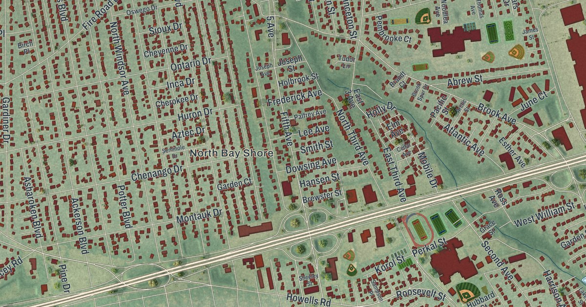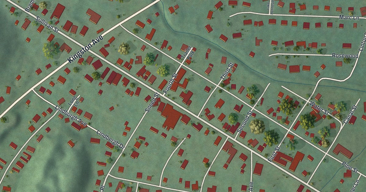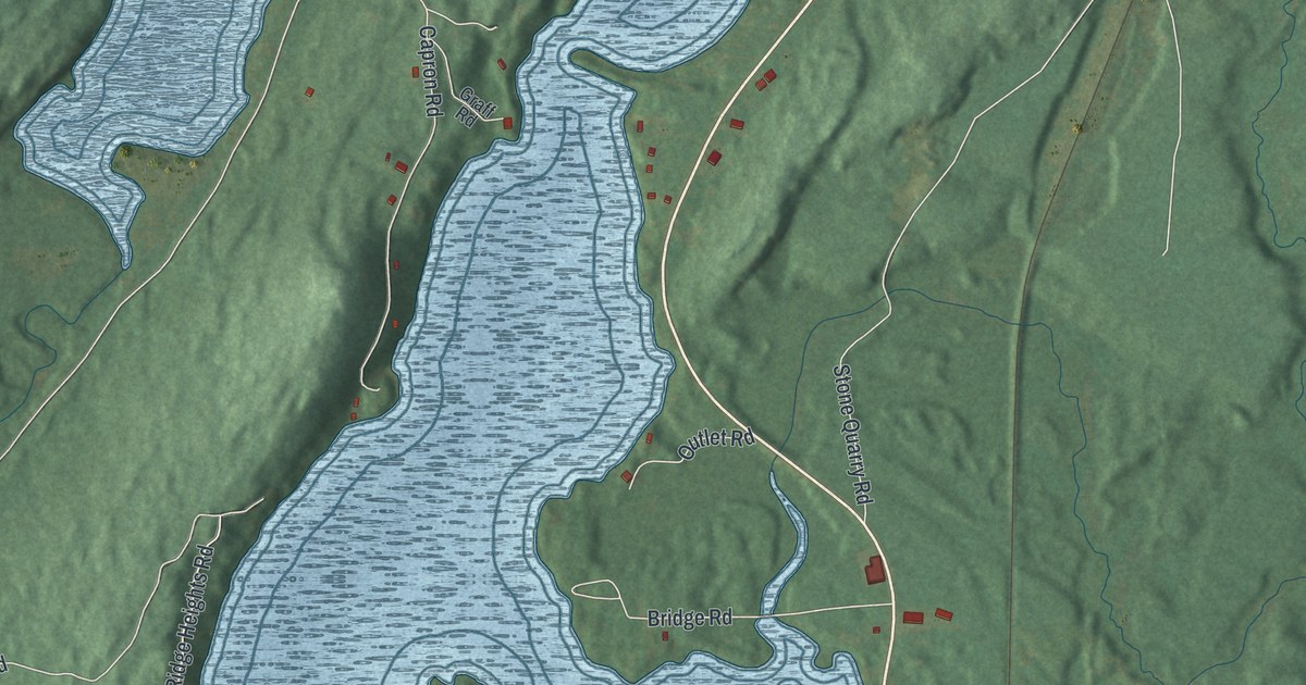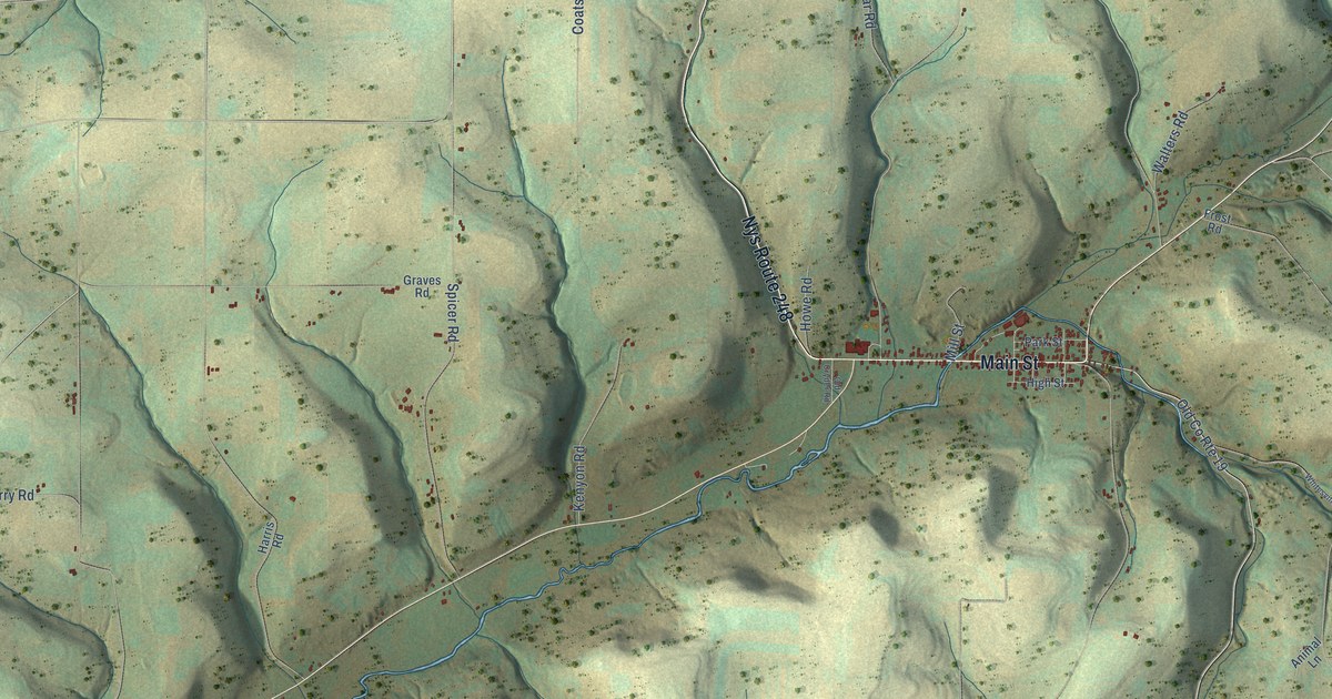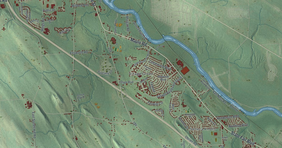
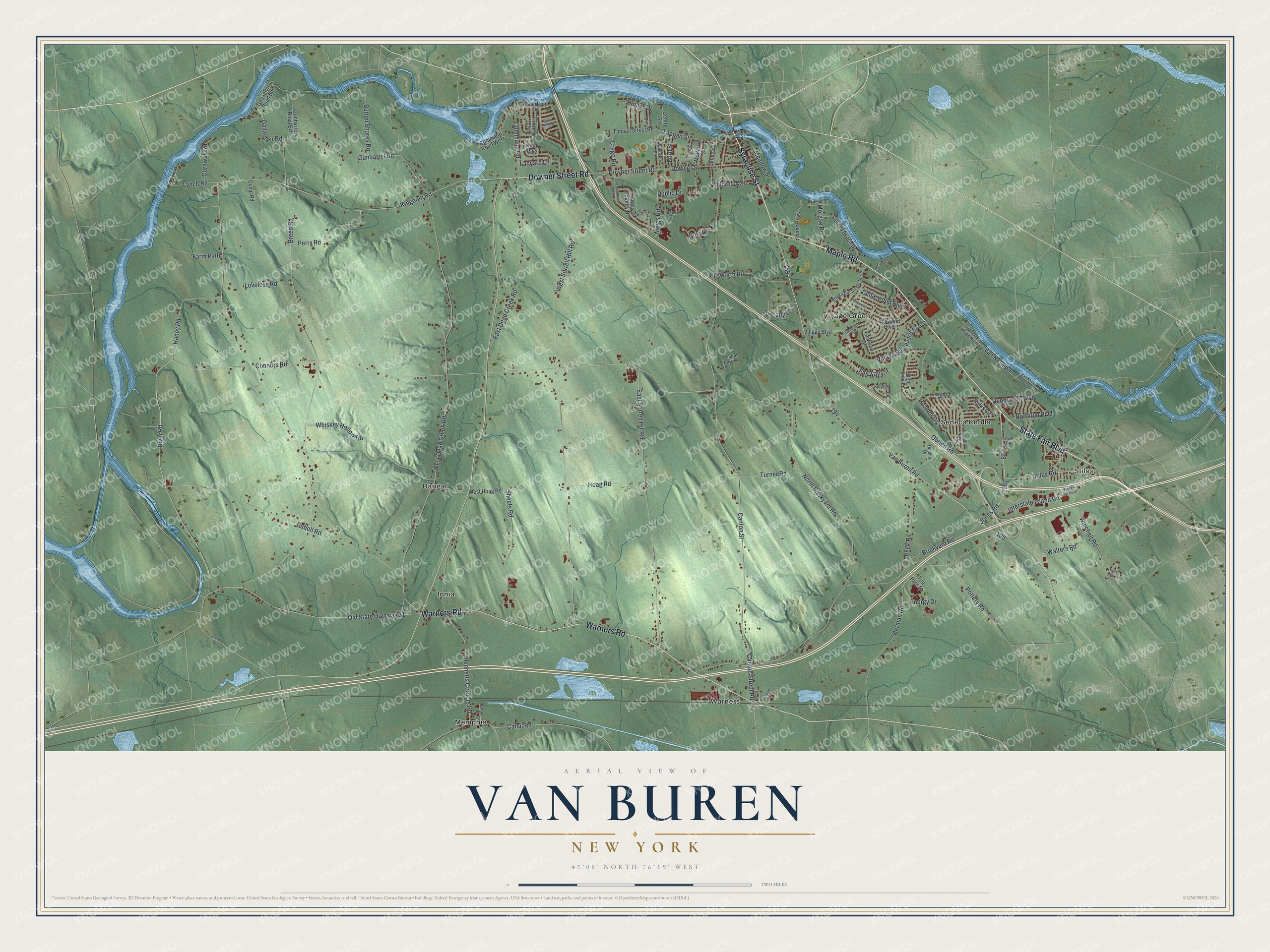
This beautifully detailed map of Van Buren, New York was created in 2026 using aerial imagery combined with modern topographical, census, street and landmark data. It’s a one-of-a-kind view of Van Buren that combines accurate data with a vintage aesthetic. The map shows every building in its true location, many of the roads carry their names, and the shaded topographic relief shows the shape of the land.
Explore an aerial view of Van Buren, New York
On the map you’ll find Stiles, Bangall, Ionia, Memphis, and Seneca Knolls, along with Syracuse Street, Warners Road, Maple Road, Downer Street Road, Connors Road, and more. If you look closely you can even find your house accurately drawn in its correct location. Zoom in on the preview to look for yours.
Did You Know?
Van Buren was split from Camillus in 1829 and named for Martin Van Buren. He was a senator then and later became the eighth president. The land had been part of the Military Tract, set aside to pay soldiers who fought in the Revolution. Most soldiers sold their lots for cash.
Take a closer look at the Van Buren map
Names on this map
These names are printed on this map.
Places: Stiles, Bangall, Ionia, Memphis, Seneca Knolls, Village Green and Warners.
Streets and roads: State Fair Boulevard, Syracuse Street, Warners Road, Maple Road, Downer Street Road, Connors Road, River Road, Jones Road, Haney Road, Van Buren Road, Herman Road, Old State Highway 31.
More street names, A to Z
Bennetts Corners Road, Bent Tree Lane, Breed Road, Brickyard Road, Button Shores Road, Canal Road, Canton Street, Canton Street Road, Cedarwood Boulevard, Central Park Drive, Church Street, Commane Road, Commane Road West, Cook Drive, Cornwall Road, Crego Road, Cross Country Drive, Daboll Road, Daywood Drive, Dejohn Drive, Delwood Drive, Division Street, Downer Street, Dump Road, East Dead Creek Road, East Sorrell Hill Road, Ellsworth Road, Energy Drive, Fairway Circle, Farm Path, Farwood Drive, Finger Lakes Drive, Fishermans Creek, Ford Street, Gallagher Road, Gallagher Road Spr, Gentry Street, Golfcrest Circle, Gunbarrel Road, Gunbarrel Road Extension, Henderson Boulevard, Hensons Lane, Hoag Road, Hosmer Drive, Hunter Drive, Idlewood Boulevard, Interstate Island Road, Kevin Drive, Kidd Kove, Kingdom Road, Laird Road, Lanyard Lane, Legacy Drive, Leopold Boulevard, Lions Parkway, Loveless Road, Lynch Road, Marble Street, McHarrie Street, Meadow Street, Meigs Road, Miguel Lane, Mildred Avenue, Morgan Road, Naylor Circle, North Brickyard Road, Northrup Boulevard, Obrien Road, Peck Road, Perry Road, Pottery Road, Public Drive, Railroad Street, Rifts Drive, Rufus Circle, Sand Lance Drive, Seneca Beach Drive, Seneca Street, Sheets Road, Snowdale Drive, Stiles Road, Sun Meadows Way, Tappan Street, Tappan Street Road, Ted Park Drive, Turner Road, Tuscany Lane, Van Ness Road, Van Ness Road North, Van Ness Road South, Village Boulevard, Village Boulevard North, Village Boulevard South, Walters Road, Waterfront Drive, West Dead Creek Road, West Hoag Road, West Sorrell Hill Road, Whiskey Hollow Road, Wilkinson Place, Winchell Road.
See it on a wall
The Van Buren map as a framed print. Swipe for more.


This beautifully detailed map of Van Buren makes an attractive addition to your office, library, or den, and it can even be used to teach children the geography and history of the area. It also makes a great gift for someone who left Van Buren and still calls it home. When you’re done exploring, click here to get your copy of the Van Buren map.