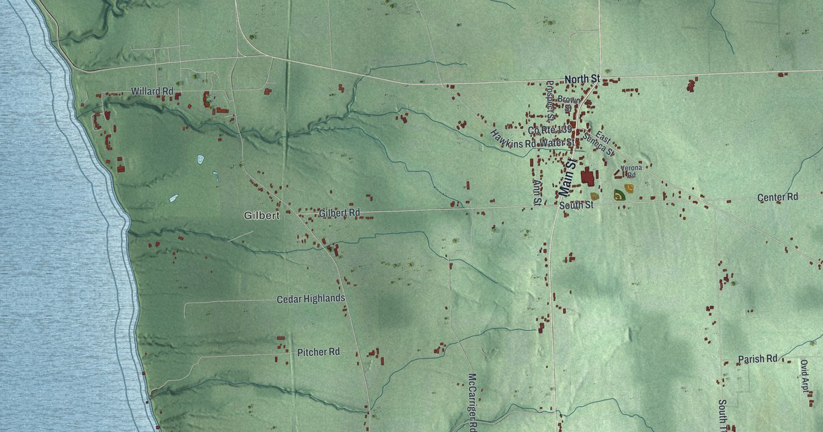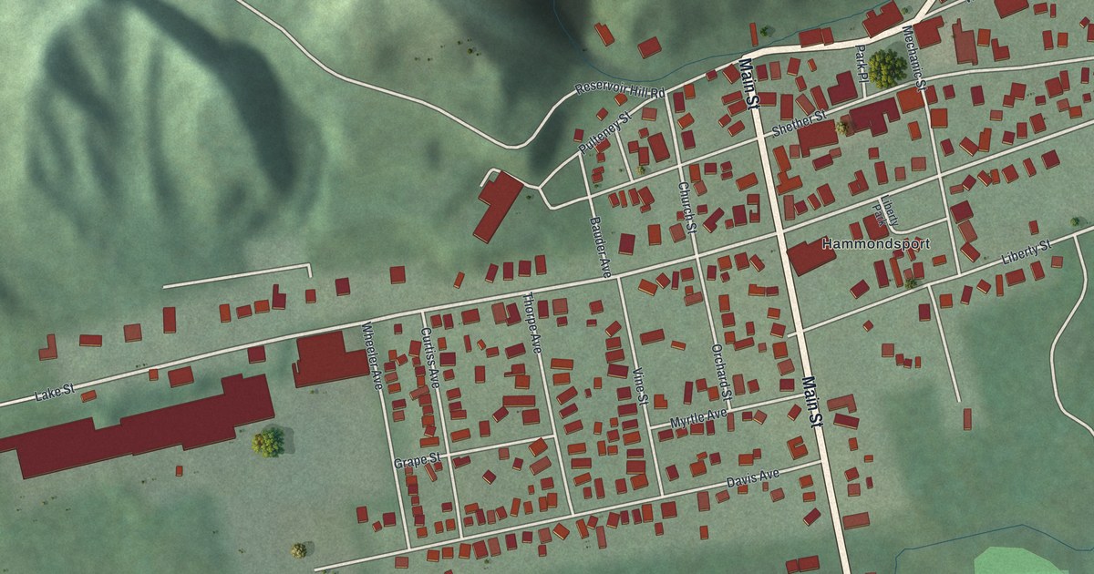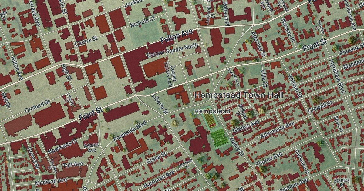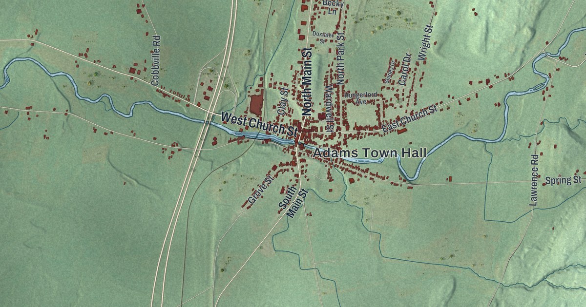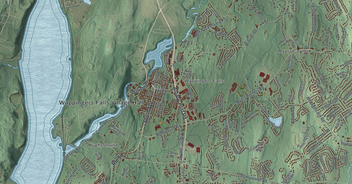
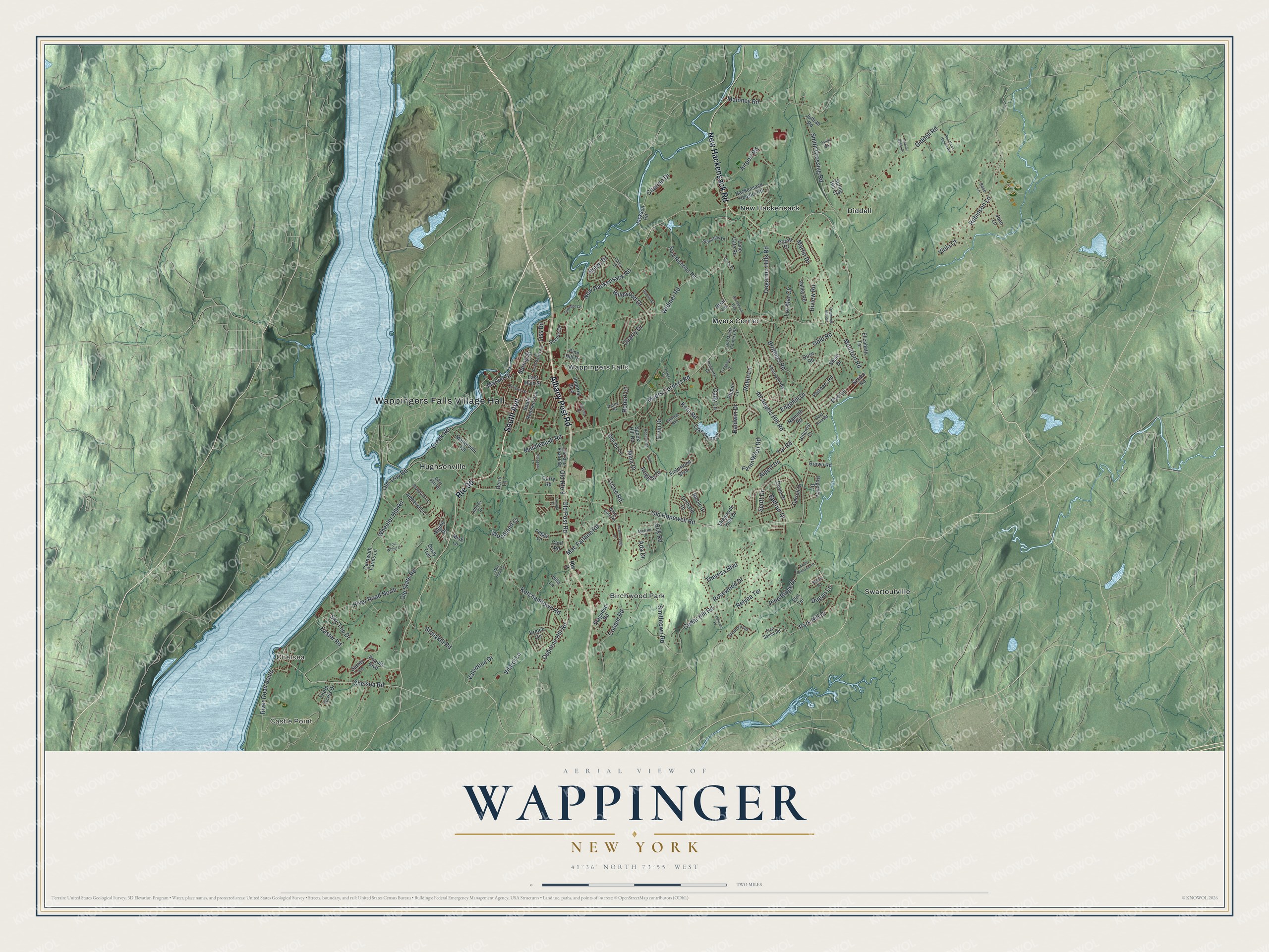
This beautifully detailed map of Wappinger, New York was created in 2026 using aerial imagery combined with modern topographical, census, street and landmark data. It’s a one-of-a-kind view of Wappinger that combines accurate data with a vintage aesthetic. The map shows every building in its true location, many of the roads carry their names, and the shaded topographic relief shows the shape of the land.
Explore an aerial view of Wappinger, New York
On the map you’ll find Wappingers Falls Village Hall, Castle Point, Chelsea, Birchwood Park, Diddell, and Hughsonville, along with South Avenue, Albany Post Road, New Hackensack Road, Robinson Lane, and more. If you look closely you can even find your house accurately drawn in its correct location. Zoom in on the preview to look for yours.
Did You Know?
The Hudson River hamlet of Chelsea in Wappinger has had four names. It was first Low Point, for a low spit of land in the river. The railroad brought the name Carthage, but mail kept going to another Carthage. It became Carthage Landing, then Chelsea in 1901.
Take a closer look at the Wappinger map
Names on this map
These names are printed on this map.
Places: Wappingers Falls Village Hall, Castle Point, Chelsea, Birchwood Park, Diddell, Hughsonville, Myers Corner, New Hackensack, Swartoutville and Wappingers Falls.
Streets and roads: South Avenue, Albany Post Road, New Hackensack Road, Robinson Lane, Osborne Hill Road, Middlebush Road, Mac Farlane Road, Spring Street, Kent Road, Losee Road, Market Street, All Angels Hill Road.
More street names, A to Z
Ada Drive, Airport Road, Alfreda Drive, Alpert Drive, Alpine Drive, Amherst Lane, Apple Blossom Lane, Baldwin Drive, Balfour Drive, Bell Air Lane, Berry Lane, Bill Parsons Way, Bowdoin Lane, Briar Lane, Brook Place, Brothers Road, Brown Road, Cady Lane, Card Road, Carnwath Farms Lane, Carroll Drive, Cayuga Drive, Cedar Hill Road, Central Avenue, Chelsea Road, Citation Drive, Cooper Road, Creek Road, Curry Road, Daisy Lane, Daniel Sabia Drive, Dara Lane, Deer Hill Road, Deer Run Road, Degarmo Hills Road, Dennis Road, Diddell Road, Dogwood Hill Road, Dorett Drive, Dose Road, Doyle Drive, Dugan Lane, Dusty Trail, Easter Road, East Main Street, East Salem Road, Eck Road, Edgehill Drive, Elizabeth Terrace, Elm Terrace, Ervin Drive, Evergreen Drive, Farmington Road, Fenmore Drive, Fieldstone Boulevard, Flintrock Road, Four Wheel Drive, Gold Road, Hackensack Heights Road, Helen Drive, Hillcrest Court, Hiview Road, Imperial Boulevard, Jackson Road, Joan Lane, Johnson Place, Julfran Road, Ketchamtown Road, Kretch Circle, Lake Oniad Drive, Lakeside Drive, Lane Gate Road, Liss Road, Lor Mar Court, Maloney Road, Marc Ridge Lane, Marlorville Road, Martin Drive, Michael Drive, Mina Drive, Misk Lane, Montfort Road, Myers Corners Road, Namoth Road, Nicole Drive, North Mesier Avenue, Old Hopewell Road, Old Myers Corners Road, Old Post Road, Old Route 9, Old State Road, Old State Road East, Old Troy Road, Orchard Drive, Ostuni Way, Park Hill Drive, Partners Road, Pattie Place, Peggy Lane, Peters Road, Pine Hill Drive, Pine Ridge Drive, Pippin Lane, Pleasant Lane, Popula Boulevard, Prospect Street, Pye Lane, Quaker Road, Quarry Drive, Red Hawk Hollow Road, Regency Drive, Reggie Drive, Relyea Terrace, River Road North, River Road South, Robert Lane, Roberts Road, Robin Lane, Rose Lane, Rosewood Drive, Route 9, Saint Nicholas Road, Scarborough Lane, Scenic Drive, Scott Drive, Scribo Road, Shale Drive, Shamrock Hills Drive, Sherwood Heights, Sky Top Drive, Smith Crossing Road, Smithtown Road, South Remsen Avenue, Spook Hill Road, Spring Hill Court, Stagedoor Road, Sterling Drive, Stonewall Drive, Stonykill Road, Surrey Lane, Theresa Boulevard, Thorn Acres Drive, Tor Road, Valentine Drive, Valley Road, Vilardi Lane, Villa Lane, Viola Court, Wheeler Hill Road, White Gate Road, Widmer Road, Wildwood Drive, Woodland Court.
See it on a wall
The Wappinger map as a framed print. Swipe for more.


This beautifully detailed map of Wappinger makes an attractive addition to your office, library, or den, and it can even be used to teach children the geography and history of the area. It also makes a great gift for anyone with Wappinger roots. When you’re done exploring, click here to get your copy of the Wappinger map.