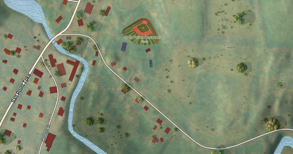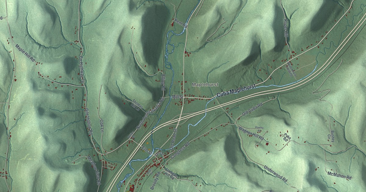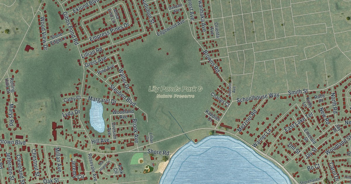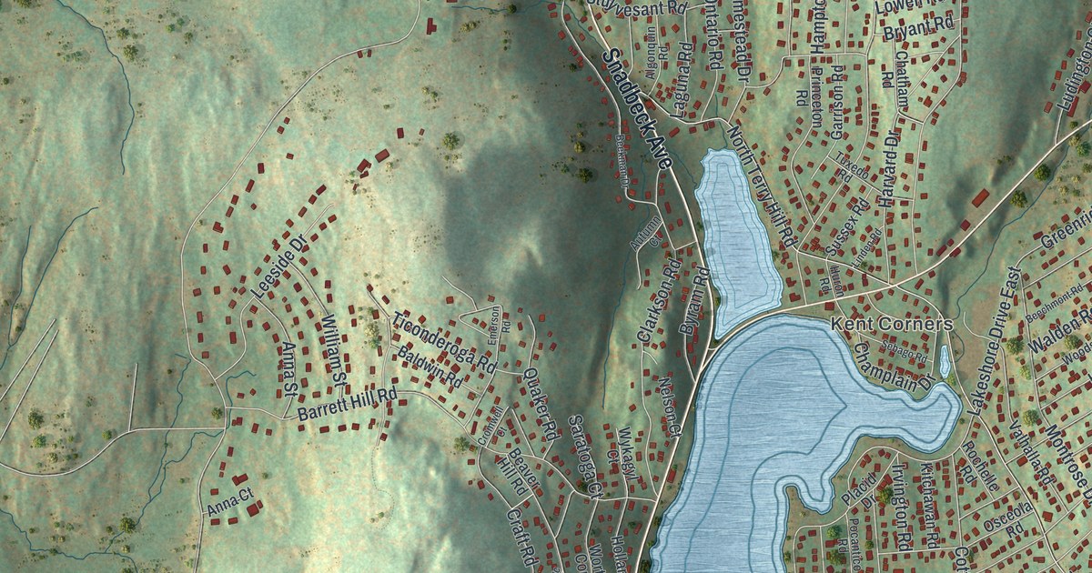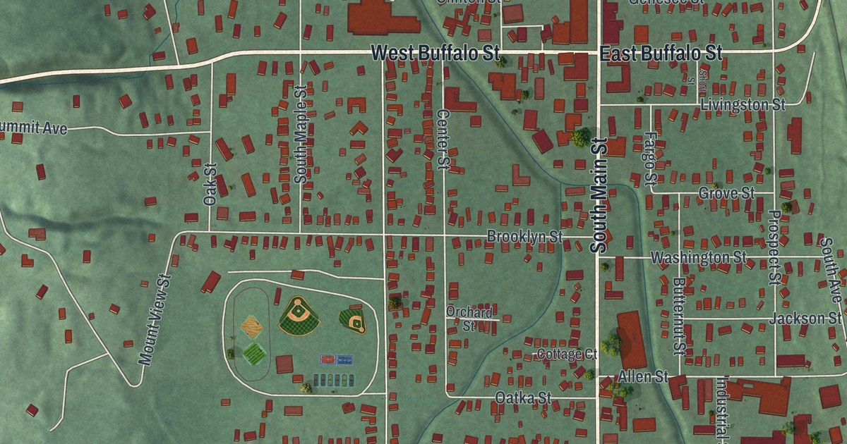
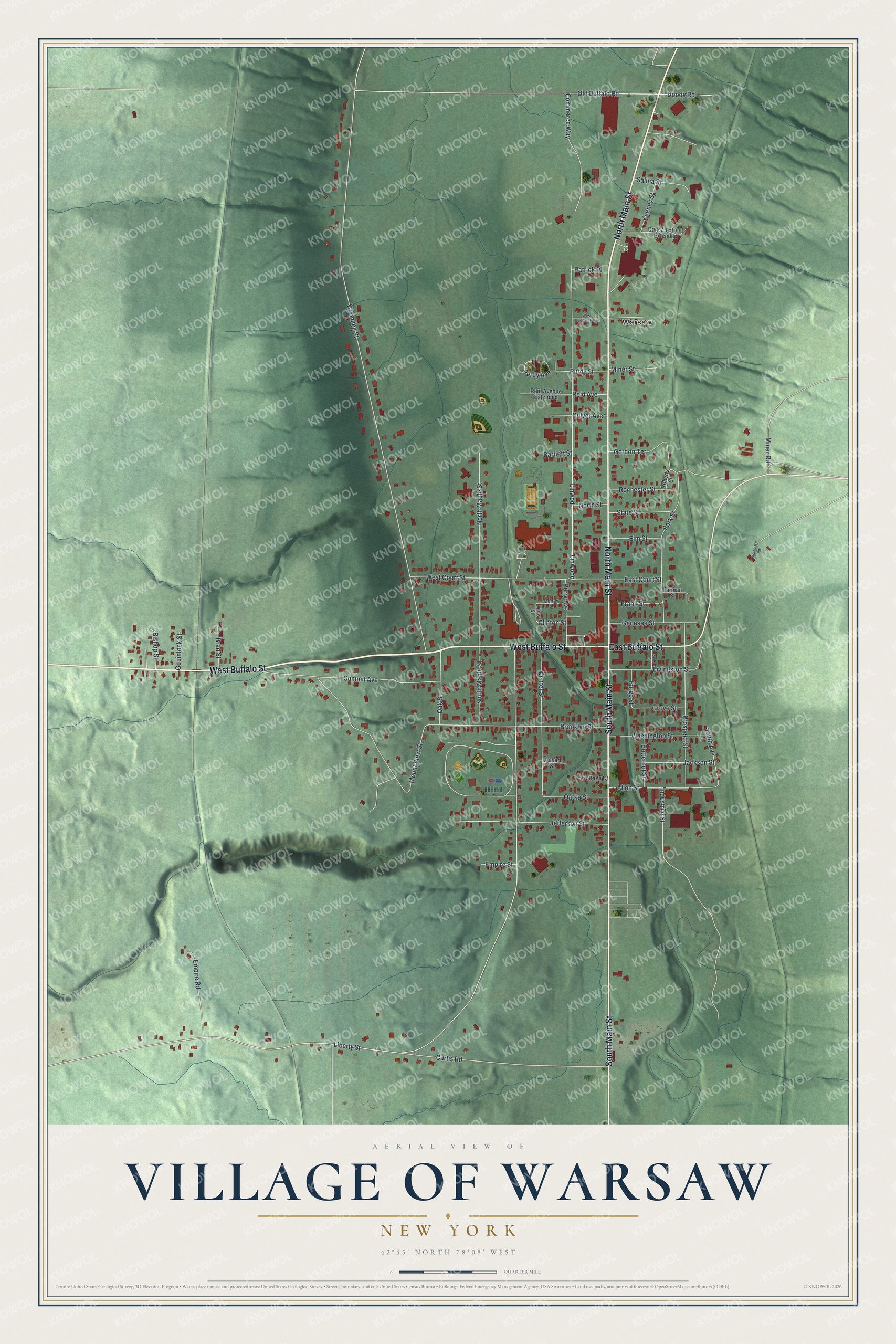
This beautifully detailed map of the Village of Warsaw, New York was created in 2026 using aerial imagery combined with modern topographical, census, street and landmark data. It’s a one-of-a-kind view of the Village of Warsaw that combines accurate data with a vintage aesthetic. The map shows every building in its true location, many of the roads carry their names, and the shaded topographic relief shows the shape of the land.
Explore an aerial view of the Village of Warsaw, New York
On the map you’ll find Buffalo Street, Main Street, Liberty Street, Wyoming Street, Old Buffalo Road, and more. If you look closely you can even find your house accurately drawn in its correct location. Zoom in on the preview to look for yours.
Did You Know?
Before the Civil War, Warsaw was a center of the fight against slavery. Its local anti-slavery society formed in 1833. In November 1839, the antislavery Liberty Party was founded at a meeting in the village’s Presbyterian Church. Several local homes and churches helped the Underground Railroad.
Take a closer look at the Village of Warsaw map
Names on this map
These names are printed on this map.
Places: Warsaw.
Streets and roads: West Buffalo Street, North Main Street, South Main Street, East Buffalo Street, Liberty Street, Wyoming Street, Old Buffalo Road, Linwood, Industrial Street, Mount View Street, Curtis Road, Linwod.
More street names, A to Z
Allen Street, Bartlett Street, Bishop Street, Brad Street, Brooklyn Street, Butternut Street, Center Street, Clinton Street, Commerce Way, Cottage Court, Culver Avenue, Doody Road, Duncan Street Extended, East Court Street, Elm Street, Empire Road, Empire Street, Fargo Street, Farman Street, Frank Street, Genesee Street, Gordon Terrace, Gouinlock Street, Grove Street, Jackson Street, Jefferson Street, Keeney Street, Livingston Street, Miner Road, Miner Street, Murray Street, North Maple Street, North Street, Oak Street, Oatka Street, Orchard Street, Park Street, Patrick Place, Perry Avenue, Prospect Street, Purdy Avenue, Purdy Street, Reid Avenue, Reid Avenue Extended, Roberts Street, Rochester Street, Salina Street, Short Street, South Avenue, South Maple Street, State Street, Summit Avenue, Toolhouse Road, View Street, Washington Street, West Court Street, West Highland Avenue.
See it on a wall
The Warsaw map as a framed print. Swipe for more.


This beautifully detailed map of the Village of Warsaw makes an attractive addition to your office, library, or den, and it can even be used to teach children the geography and history of the area. It also makes a great gift for anyone who grew up in the Village of Warsaw or moved away. When you’re done exploring, click here to get your copy of the Village of Warsaw map.