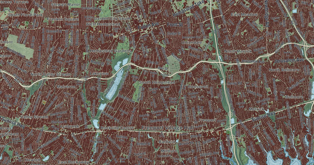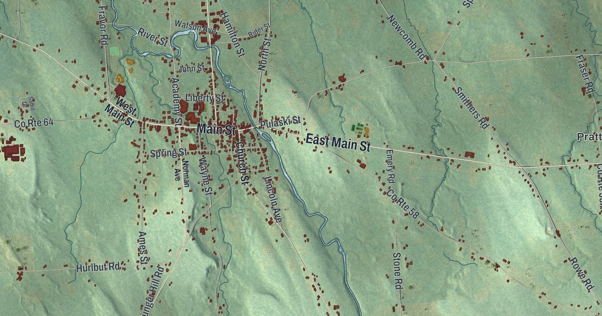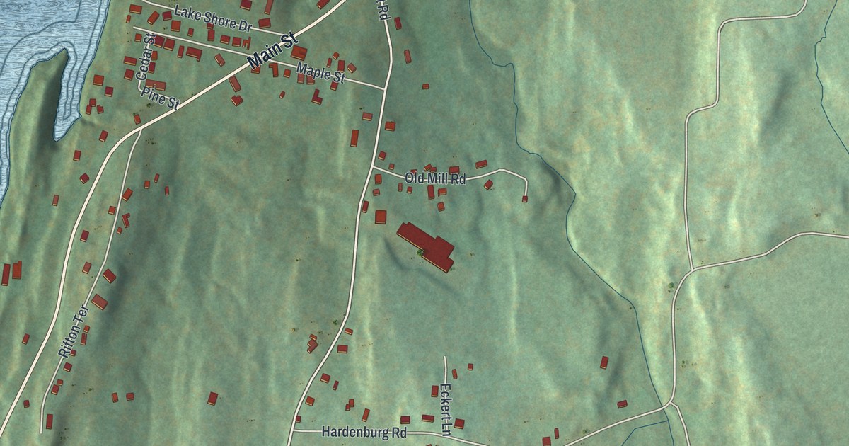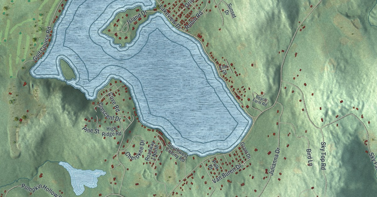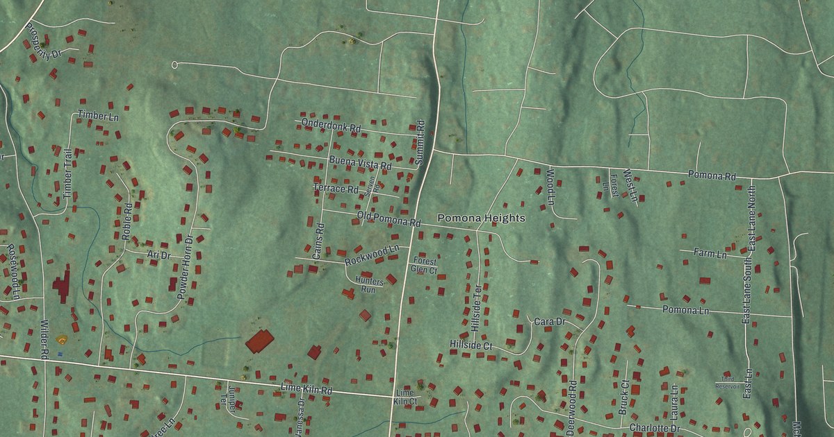
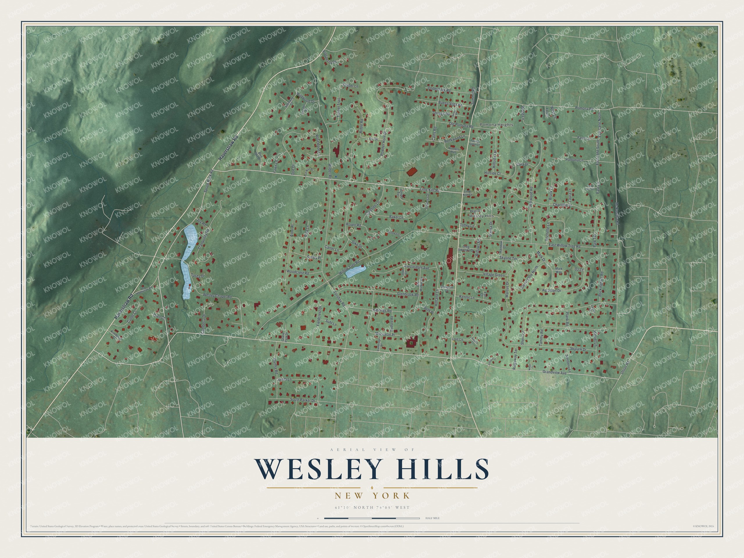
This beautifully detailed map of Wesley Hills, New York was created in 2026 using aerial imagery combined with modern topographical, census, street and landmark data. It’s a one-of-a-kind view of Wesley Hills that combines accurate data with a vintage aesthetic. The map shows every building in its true location, many of the roads carry their names, and the shaded topographic relief shows the shape of the land.
Explore an aerial view of Wesley Hills, New York
On the map you’ll find Pomona Heights, along with Haverstraw Road, Grandview Avenue, Spook Rock Road, Lime Kiln Road, East Lane, and more. If you look closely you can even find your house accurately drawn in its correct location. Zoom in on the preview to look for yours.
Take a closer look at the Wesley Hills map
Names on this map
These names are printed on this map.
Places: Pomona Heights, Wesley Hills and Third Reservoir.
Streets and roads: Haverstraw Road, Grandview Avenue, Spook Rock Road, Lime Kiln Road, East Lane South, East Lane North, McNamara Road, Willow Tree Road, Wilder Road, Powder Horn Drive, East Willow Tree Road, Wesley Chapel Road.
More street names, A to Z
Amsterdam Avenue, Arcadian Drive, Ardley Place, Ari Drive, Ashlawn Court, Astor Place, Auburn Court, Baker Lane, Bedford Road, Beth Place, Blue Sky Drive, Bruck Court, Buena Vista Road, Cains Road, Camberra Drive, Cambridge Road, Cara Drive, Carefree Lane, Carter Lane, Charlotte Drive, Cutler Court, Deerwood Road, Dike Drive, Doe Drive, Earl Court, East Lane, Farm Lane, Fawn Lane, Fieldcrest Drive, Forest Glen Court, Forest Lane, Forshay Road, Glenbrook Road, Grand Park Drive, Greg Sikorsky Drive, Harriet Lane, Hastings Road, Hillside Court, Hillside Terrace, Holland Lane, Hunters Run, Jodi Court, Joy Road, Judith Lane, Juniper Terrace, Kentor Lane, Kimmissy Court, Lacey Court, Laura Lane, Lime Kiln Court, Lois Lane, Marcus Drive, Marisa Drive, Mark Drive, Mark Way, Martha Road, Moccasin Place, Old Haverstraw Road, Old Pomona Road, Onderdonk Road, Oren Court, Oz Court, Park Terrace, Pearl Drive, Plank Road, Plum Bush Road, Pomona Lane, Pomona Road, Prosperity Drive, Rainbow Court, Reeder Place, Ridgeway Terrace, Roble Road, Rochelle Lane, Rockingham Road, Rockwood Lane, Rosewood Lane, Roven Road, Sansberry Lane, Serven Road, Sherri Lane, Sherri Lane North, Skylark Drive, Skyline Terrace, South Parker Drive, Steinway Court, Suhl Lane, Summit Road, Tammy Road, Tasha Drive, Terrace Road, Timber Lane, Timber Trail, Tobey Lane, Tranquility Road, Union Road, Vanessa Drive, Van Winkle Road, Village Green, Villa Lane, West Lane, Wildwood Drive, Willows Road, Wilson Court, Windmill Drive, Windward Lane, Woodcrest Road, Wood Lane.
See it on a wall
The Wesley Hills map as a framed print. Swipe for more.


This beautifully detailed map of Wesley Hills makes an attractive addition to your office, library, or den, and it can even be used to teach children the geography and history of the area. It also makes a great gift for anyone with Wesley Hills roots. When you’re done exploring, click here to get your copy of the Wesley Hills map.