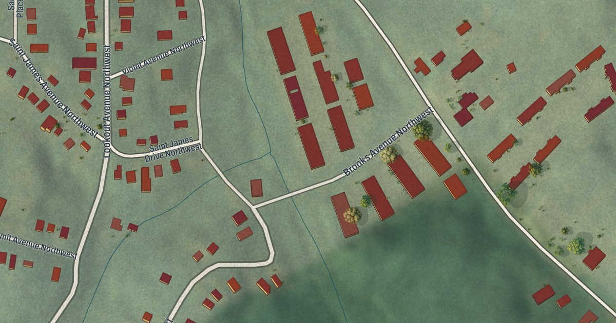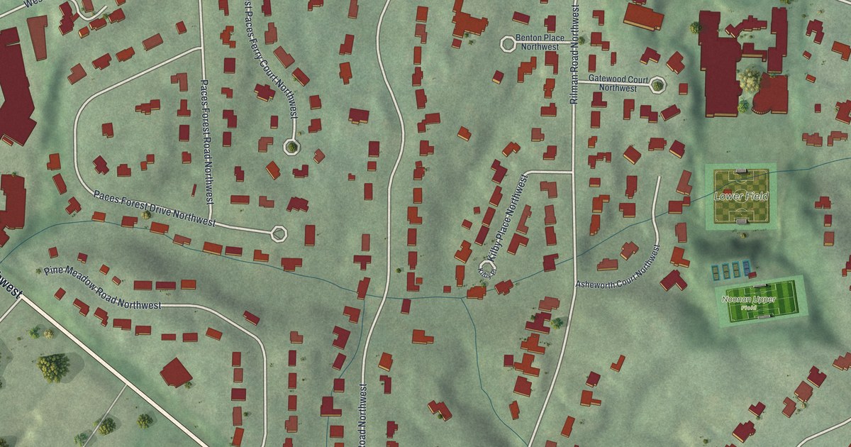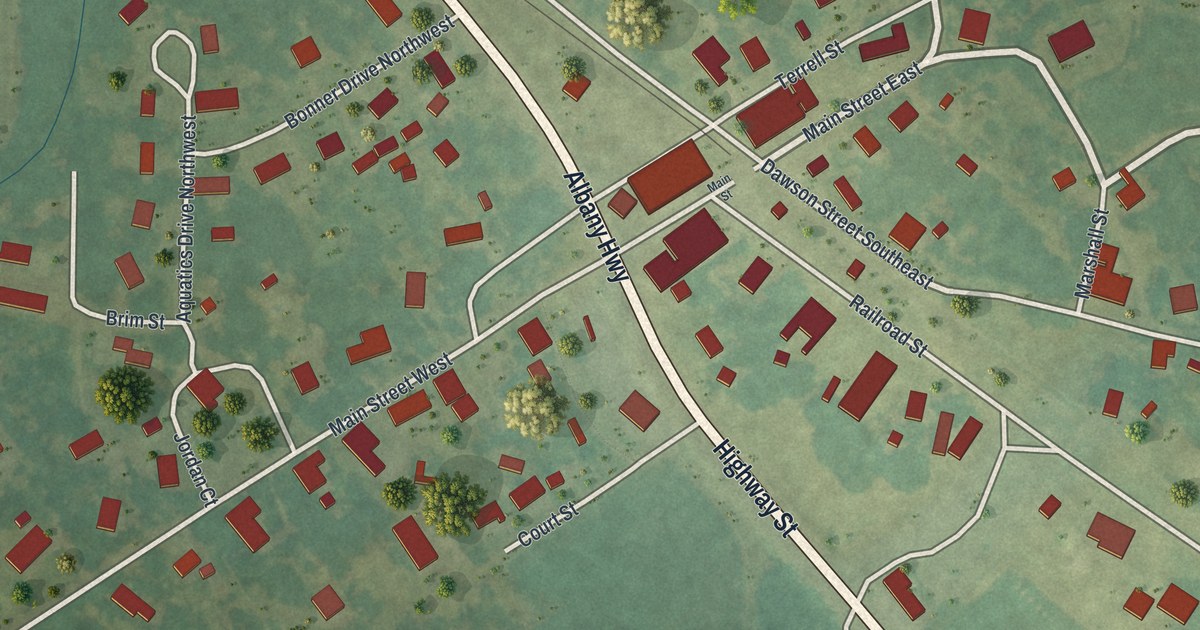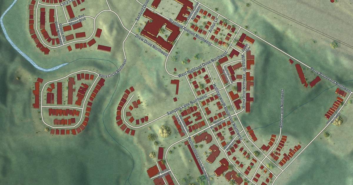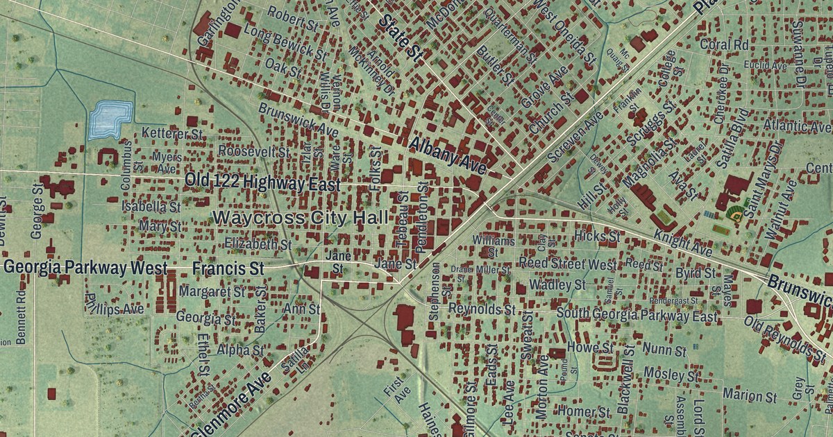
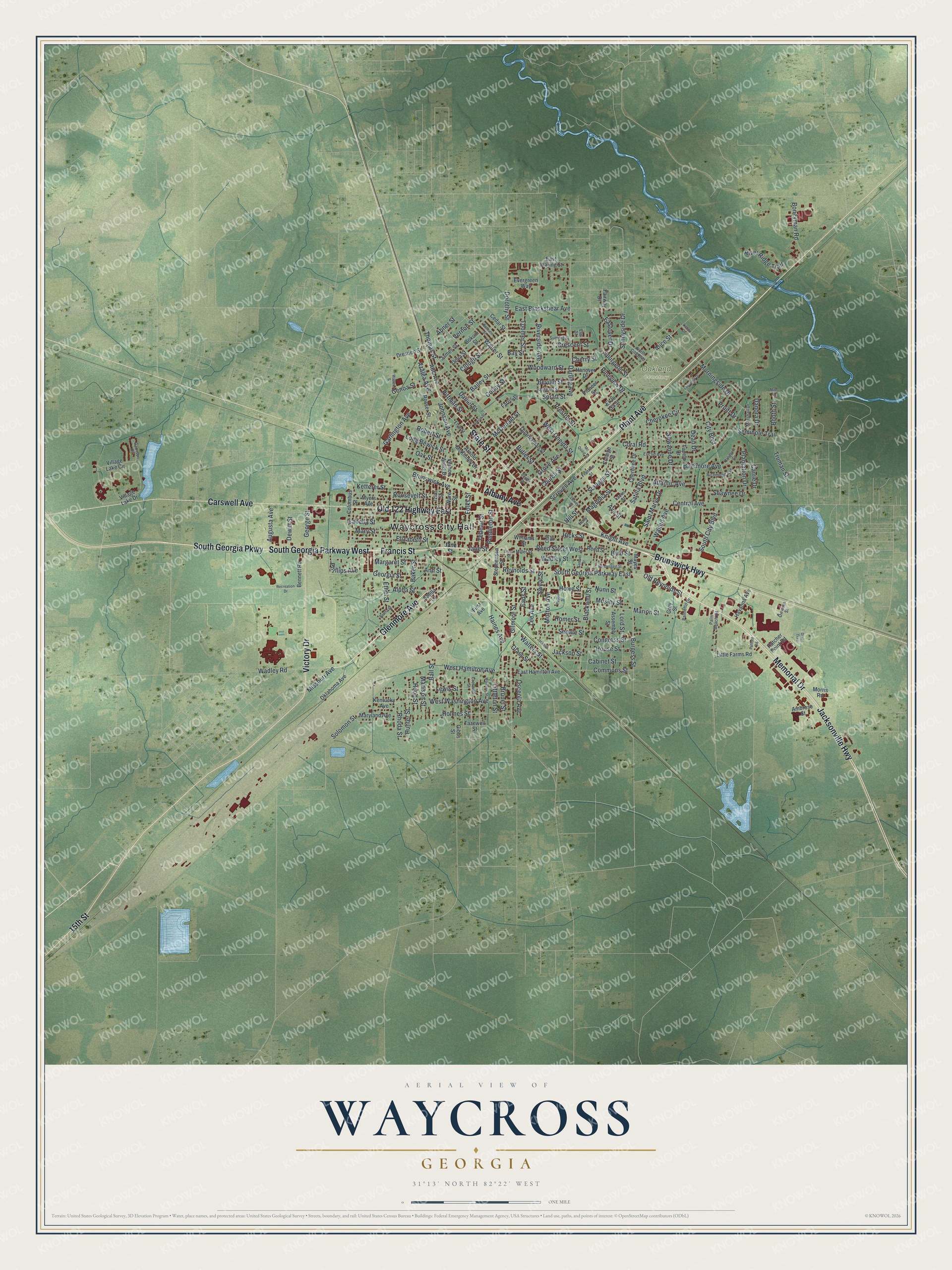
This beautifully detailed map of Waycross, Georgia was created in 2026 using aerial imagery combined with modern topographical, census, street and landmark data. It’s a one-of-a-kind view of Waycross that combines accurate data with a vintage aesthetic. The map shows every building in its true location, many of the roads carry their names, and the shaded topographic relief shows the shape of the land.
Explore an aerial view of Waycross, Georgia
On the map you’ll find Waycross City Hall and Oakland Cemetery, along with Memorial Drive, Jacksonville Highway, South Georgia Parkway, Francis Street, and more. If you look closely you can even find your house accurately drawn in its correct location. Zoom in on the preview to look for yours.
Did You Know?
Waycross owes both its growth and its name to the crossing of ways. Several railroads and five highways met at this one city. Large oaks shaded its streets, and it was known as a clean and progressive place. That’s from the 1940 WPA guide to Georgia.
Take a closer look at the Waycross map
Names on this map
These names are printed on this map.
Places: Waycross City Hall and Oakland Cemetery.
Streets and roads: Memorial Drive, Jacksonville Highway, South Georgia Parkway West, Francis Street, Glenmore Avenue, South Georgia Parkway, Plant Avenue, State Street, 15th Street, Carswell Avenue, Old 122 Highway East, Victory Drive.
More street names, A to Z
ABC Avenue, Abner Street, Albany Avenue, Alice Street, Alpha Street, Ambrose Street, Ann Street, Arnold McKinney Drive, Assembly Street, Atlantic Avenue, Augusta Avenue, Ava Street, Azalea Avenue, Bailey Street, Baker Street, Ball Street, Baltimore Avenue, Baltimore Circle, Bay Street, Bennett Road, Bertha Street, Bethune Street, Beville Street, Blackwell Street, Bokum Street, Boneyman Road, Booth Street, Brunel Street, Brunswick Avenue, Brunswick Highway, Burgess Street, Butler Street, Byrd Street, Cabinet Street, Carrie Drive, Cedar Street, Center Street, Central Avenue, Cherokee Circle, Cherokee Drive, Cherry Street, Church Street, City Boulevard, Clay Street, Clough Street, College Street, Colley Street, Columbus Street, Commons Street, Congress Street, Coral Road, Crescent Street, Creswell Street, Daniel Street, Danora Drive, Darling Avenue, Dean Drive, Delia Street, Dewey Street, Dewitt Street, Division Street, Dixon Trail, Dorothy Street, Drane Street, Dresden Street, Eads Street, East Blackshear Avenue, East Hamilton Avenue, Eastover Drive, East Waring Street, Effie Street, Elizabeth Street, El Jo Sa Street, Elm Street, Ethel Street, Euclid Avenue, Evergreen Way, Fairway Drive, Farris Street, First Avenue, Folks Street, Franklin Street, Garlington Avenue, Garrison Circle, Genoa Street, George Street, Georgia Street, Gibbs Street, Gilmore Street, Glass Street, Grey Street, Grove Avenue, Haines Avenue, Hanover Drive, Hatcher Point Road, Havanna Avenue, Hicks Street, Hill Street, Holly Street, Holmes Street, Homer Street, Hood Street, House Street, Howe Street, Hunter Street, Isabella Street, Izlar Street, Jackson, Jackson Street, James Street, Jane Street, Johnson Avenue, Kentucky Avenue, Ketterer Street, Knight Avenue, Lakeview Drive, Laurel Street, Lee Avenue, Lewis Street, Lisbon Drive, Little Farms Road, Littleton Street, Long Bewick Street, Lord Street, Louise Street, Madison Street, Mae Street, Magnolia Street, Margaret Street, Marion Street, Marshall Drive, Maryland Avenue, Mary Street, Mayes Street, McDonald Street, Mc Quaig Street, Miller Street, Missouri Avenue, Morningside Drive, Morris Road, Morton Avenue, Mosley Street, Myers Avenue, North City Boulevard, Nunn Street, Oak Street, Oklahoma Avenue, Old Reynolds Street, Osceola Avenue, Pafford Road, Palm Beach Road, Palmetto Drive, Pendergast Street, Pendleton Street, Phillips Avenue, Pineview Drive, Pioneer Street, Pittman Street, Plantation Drive, Pound Street, Preston Street, Pruitt Drive, Quarterman Street, Recreation Drive, Reed Street, Reed Street West, Reynolds Street, Rhoda Street, Richmond Avenue, River Ridge Trail, Riverside Avenue, Robert Street, Roosevelt Street, Rosser Street, Saint Marys Drive, Samuel Street, Sargeant Street, Satilla Boulevard, Satilla Lane, Screven Avenue, Scruggs Street, Seminole Trail, Senate Street, Shawnee Drive, Solomon Street, South City Boulevard, South Georgia Parkway East, Spratt Street, Spurgeon Street, Stephenson Street, Summit Street, Sunnyside Drive, Suwanne Drive, Sweat Street, Tazewell Street, Tebeau Street, Thomas Street, Toomer Street, Truman Street, Tupelo Drive, Vernon Street, Vernon Willis Drive, Village Lake Circle, Village Lake Drive, Wadley Road, Wadley Street, Waller Street, Walnut Avenue, Walters Street, Walter Street, Wardlaw Street, Ware Street, West Hamilton Avenue, West Oneida Street, West Washington Avenue, Williams Street, Woodward Street.
See it on a wall
The Waycross map as a framed print. Swipe for more.


This beautifully detailed map of Waycross makes an attractive addition to your office, library, or den, and it can even be used to teach children the geography and history of the area. It also makes a great gift for anyone who grew up in Waycross or moved away. When you’re done exploring, click here to get your copy of the Waycross map.