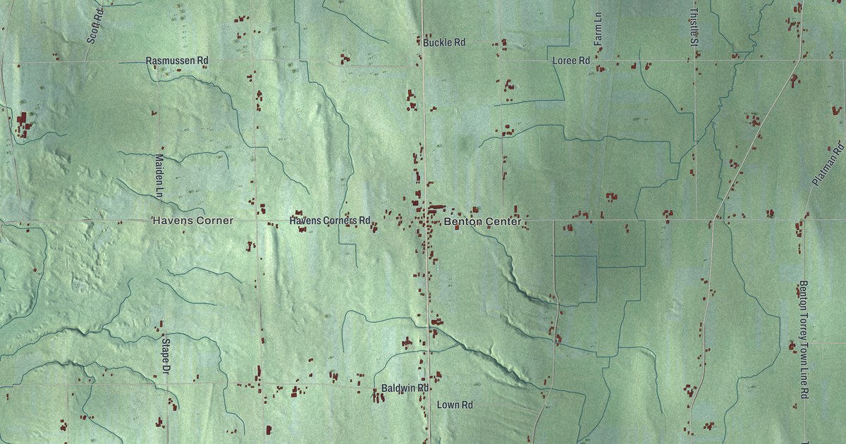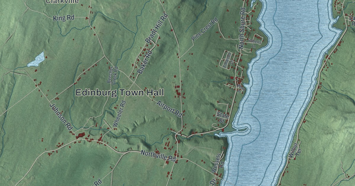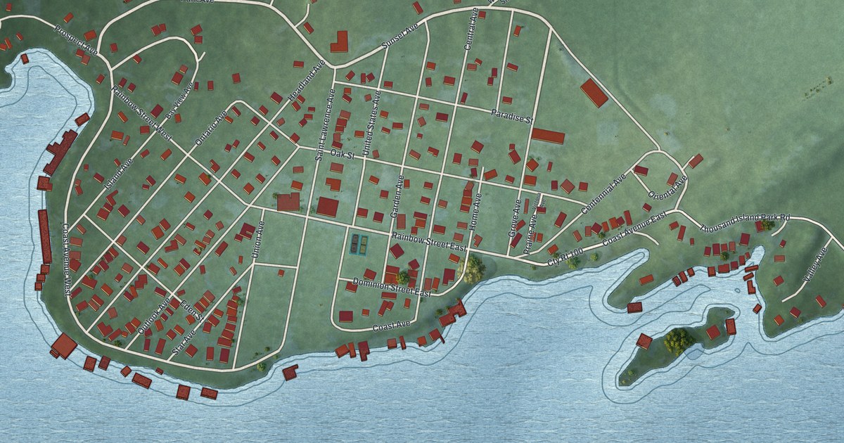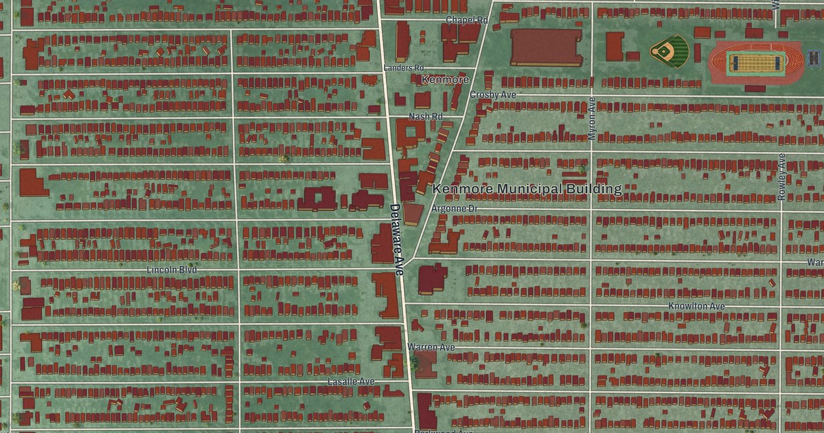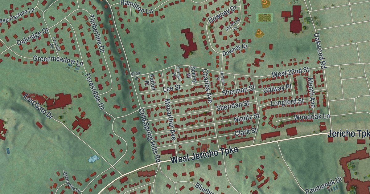
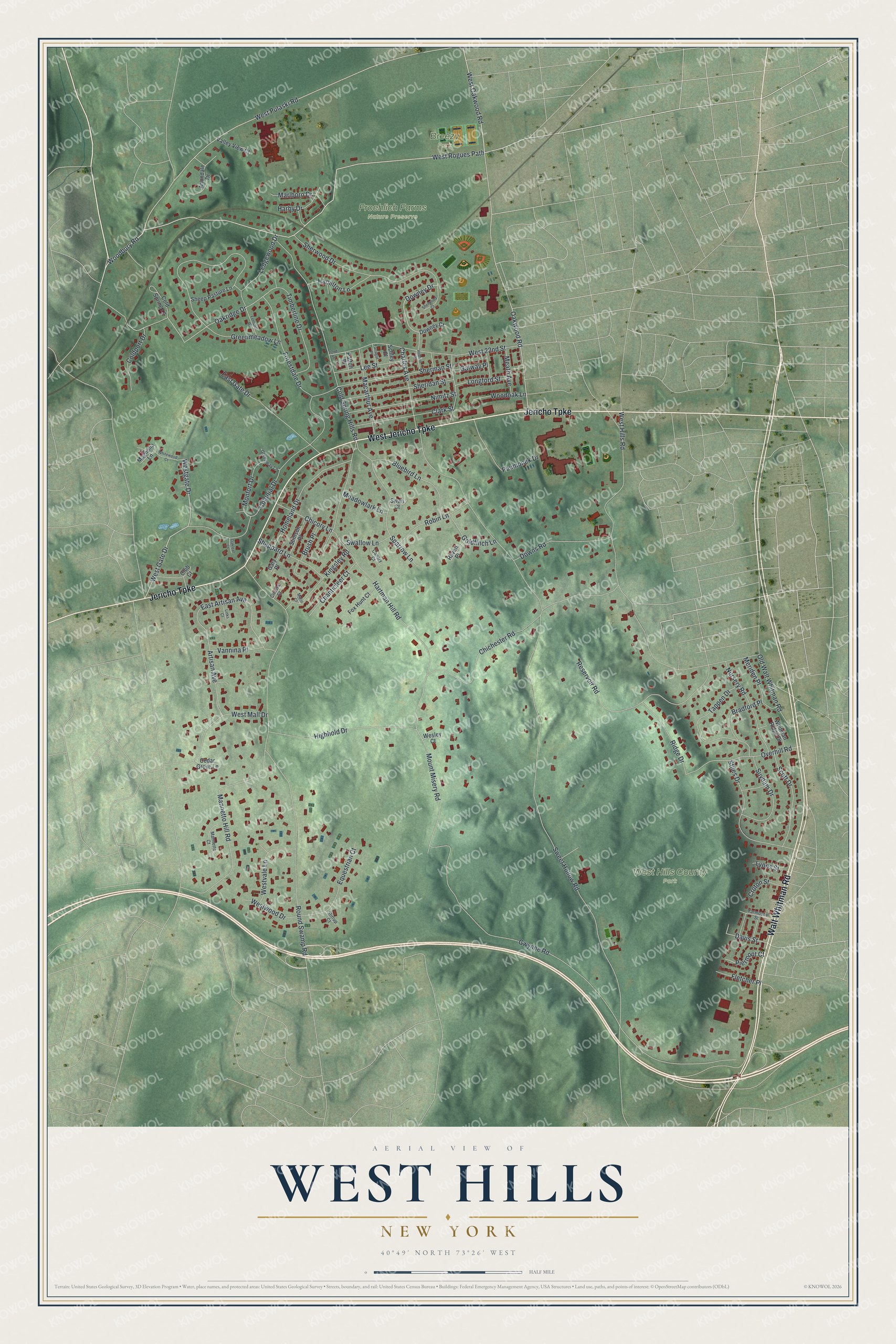
This beautifully detailed map of West Hills, New York was created in 2026 using aerial imagery combined with modern topographical, census, street and landmark data. It’s a one-of-a-kind view of West Hills that combines accurate data with a vintage aesthetic. The map shows every building in its true location, many of the roads carry their names, and the shaded topographic relief shows the shape of the land.
Explore an aerial view of West Hills, New York
On the map you’ll find Breezy Park, Froehlich Farms Nature Preserve, and West Hills County Park, along with Jericho Turnpike, Walt Whitman Road, Rogues Path, Woodbury Road, Oakwood Road, and more. If you look closely you can even find your house accurately drawn in its correct location. Zoom in on the preview to look for yours.
Did You Know?
West Hills County Park holds Jayne’s Hill, the highest natural point on Long Island at 400 feet. The hamlet once had its own post office on Jericho Turnpike, then called Middle Post Road. Poet Walt Whitman is among its notable people.
Take a closer look at the West Hills map
Names on this map
These names are printed on this map.
Places: Breezy Park, Froehlich Farms Nature Preserve and West Hills County Park.
Streets and roads: West Jericho Turnpike, Walt Whitman Road, Jericho Turnpike, West Rogues Path, Woodbury Road, West Oakwood Road, Downey Drive, West Gate Drive, Westgate Drive, Oakridge Drive, Davis Street, East Gate Drive.
More street names, A to Z
22nd Street, Anondale Drive, Artisan Avenue, Bluebird Lane, Bradford Place, Brush Place, Canary Court, Cedar Grove Lane, Chanticleer Court, Charles Avenue, Chichester Road, Chicory Lane, Christa Court, Clark Street, Club Court, Coldport Drive, Cold Spring Hills Road, Cold Spring Lane, Colonial Drive, Croton Street, Downey Court, Downs Road, East Artisan Avenue, Equestrian Court, Farragut Place, Ferncliff Road, Fletcher Place, Forestdale Drive, Fox Hunt Court, Galway Place, Gary Place, Goldfinch Lane, Greenmeadow Lane, Greenway Lane, Gwynne Road, Hamilton Lane, Harby Drive, Hartman Hill Road, Highhold Drive, Hobson Place, Homeland Drive, Kingsley Road, Ledgewood Drive, Lee Street, Links Court, Longford Street, Lyons Street, Macarthur Avenue, Magnolia Lane, Mannetto Court, Mannetto Hill Road, Mario Court, Marlboro Drive, Meadowlark Lane, Meath Avenue, Meriden Place, Monfort Drive, Mount Misery Road, Nimitz Street, Nursery Road, Oakleaf Court, Oakwood Road, Old Walt Whitman Road, Overhill Road, Patton Place, Paumonek Drive, Piermont Court, Raven Place, Reservoir Road, Ridge Drive, Robin Lane, Round Swamp Road, Schley Place, Scott Drive, Sheep Pasture Lane, Sheppard Lane, Sheridan Street, Sherman Street, Sherwood Court, Sherwood Drive, Sparrow Lane, Stiles Drive, Stimson Place, Stirrup Court, Suydam Drive, Swallow Lane, Swan Court, Sweet Hollow Road, Tappen Drive, Timberline Drive, Valley View Court, Vannina Place, Wesley Court, West 22nd Street, West Hills Road, West Mall Drive, West Pulaski Road, Westvale Lane, Westwood Drive, Whitewood Court, Whitman Ridge Drive, Woodoak Lane, Yarmouth Street.
See it on a wall
The West Hills map as a framed print. Swipe for more.


This beautifully detailed map of West Hills makes an attractive addition to your office, library, or den, and it can even be used to teach children the geography and history of the area. It also makes a great gift for anyone who grew up in West Hills or moved away. When you’re done exploring, click here to get your copy of the West Hills map.