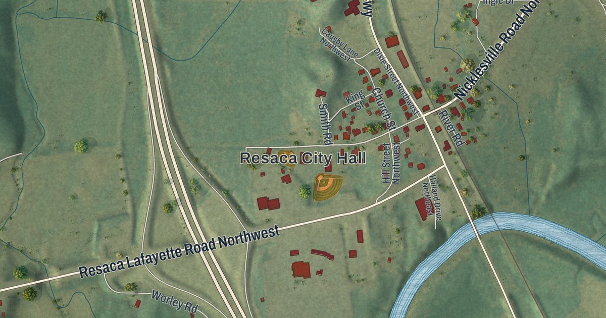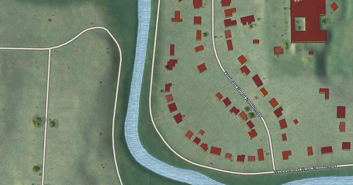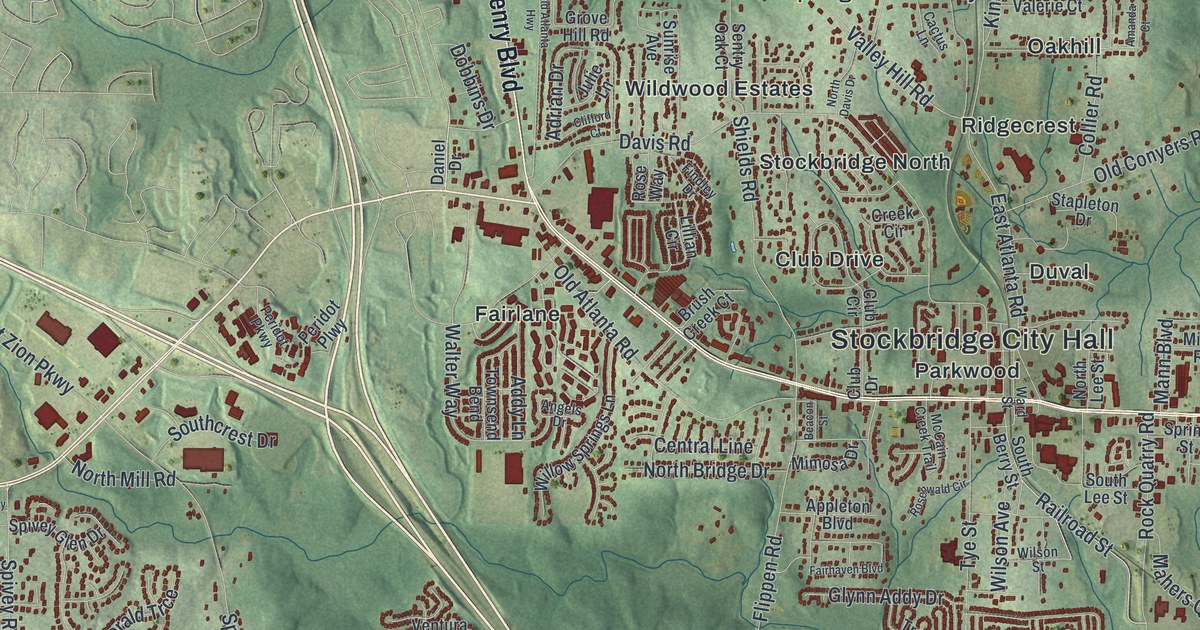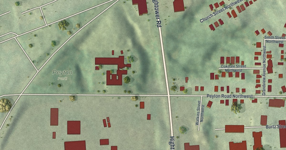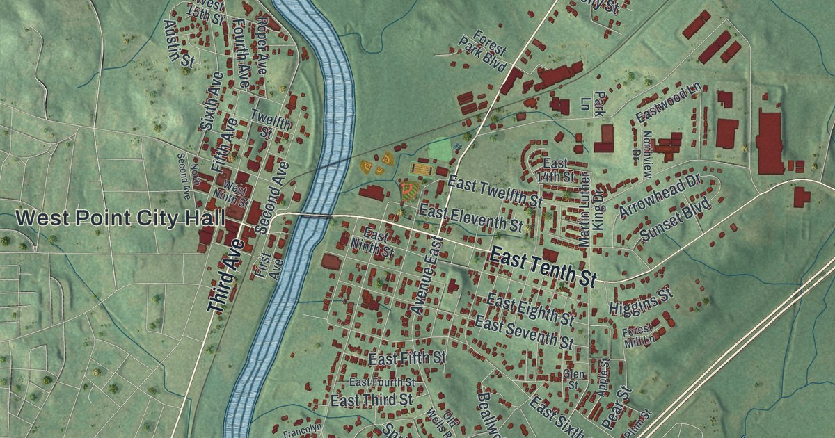
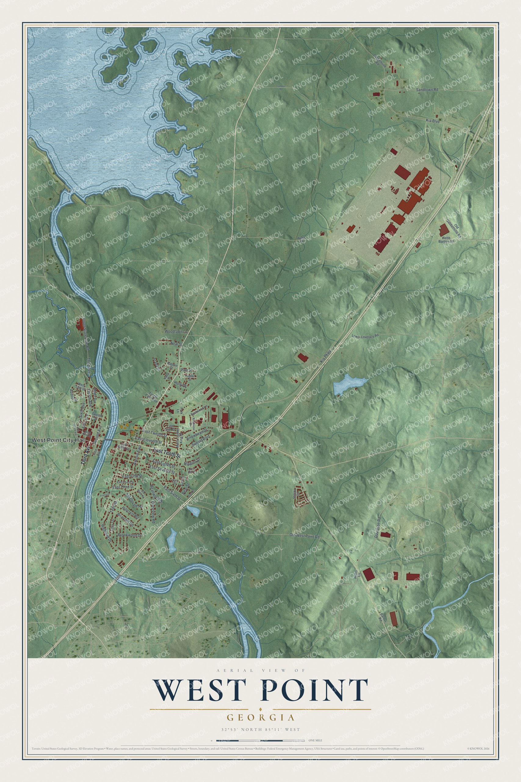
This beautifully detailed map of West Point, Georgia was created in 2026 using aerial imagery combined with modern topographical, census, street and landmark data. It’s a one-of-a-kind view of West Point that combines accurate data with a vintage aesthetic. The map shows every building in its true location, many of the roads carry their names, and the shaded topographic relief shows the shape of the land.
Explore an aerial view of West Point, Georgia
On the map you’ll find West Point City Hall, along with Third Avenue, Tenth Street, State Line Road, Second Avenue, and more. If you look closely you can even find your house accurately drawn in its correct location. Zoom in on the preview to look for yours.
Did You Know?
The town began as a trading post called Franklin, where Creek and Cherokee traders swapped furs for firearms. It was incorporated as Franklin in 1831. It sat at the westernmost point of the Chattahoochee River in Georgia. So the next year its name was changed to West Point. That’s from the 1940 WPA guide to Georgia.
Take a closer look at the West Point map
Names on this map
These names are printed on this map.
Places: West Point City Hall.
Streets and roads: Third Avenue, East Tenth Street, South State Line Road, Second Avenue, Hillcrest Road, Highland Drive, Avenue East, East Sixth Street, Pear Street, Kia Parkway, Kia Boulevard, Sandtown Road.
More street names, A to Z
Apple Street, Arrowhead Drive, Austin Street, Azalea Drive, Barber Road, Beallwood Drive, Briarcliff Road, Brookwood Drive, Crestview Road, Davidson Road, East 14th Street, East Eighth Street, East Eleventh Street, East Fifth Street, East Fourth Street, East Ninth Street, East Seventh Street, East Third Street, East Twelfth Street, Eastwood Lane, Fifth Avenue, First Avenue, Forest Mill Lane, Forest Park Boulevard, Fourth Avenue, Francolyn Terrace, Gabbettville Road, Glen Street, Higgins Street, Hollis Circle, Holly Street, Lambert Road, Lower Lovelace Road, Malco Drive, Martin Luther King Drive, Neal Street, North Second Avenue, Northview Drive, Old Gabbettville Road, Old Wells Road, Old West Point Road, Park Lane, Pine Street, Plum Street, Poplar Street, Rabern Street, Roper Avenue, Sixth Avenue, Springvale Road, Stocks Circle, Sunset Boulevard, Teel Road, Twelfth Street, Tyler Terrace, Webb Bartley Road, Webb Road, West 15th Street, West Ninth Street, Woodlawn Lane.
See it on a wall
The West Point map as a framed print. Swipe for more.


This beautifully detailed map of West Point makes an attractive addition to your office, library, or den, and it can even be used to teach children the geography and history of the area. It also makes a great gift for anyone who grew up in West Point or moved away. When you’re done exploring, click here to get your copy of the West Point map.