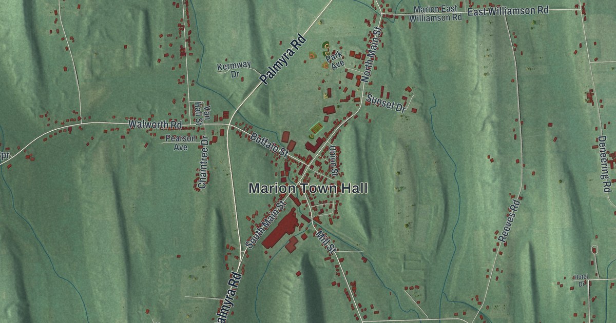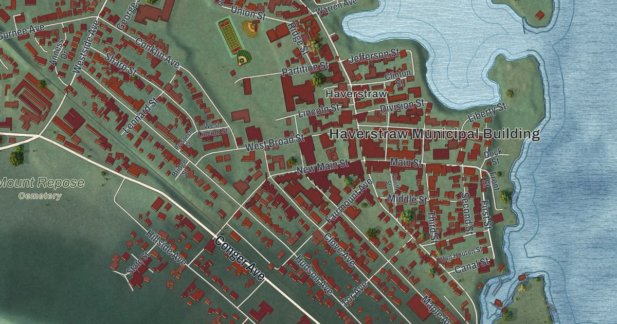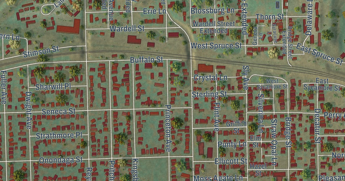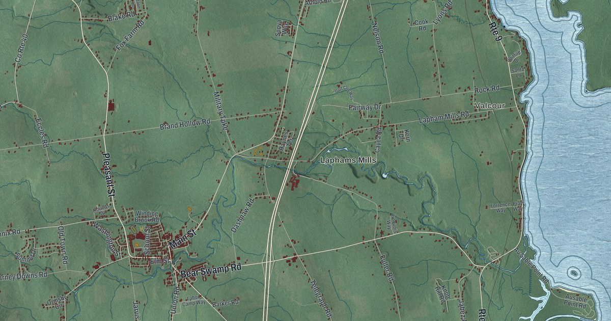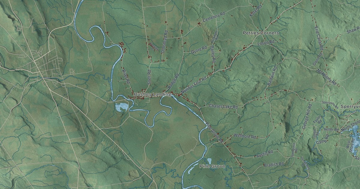
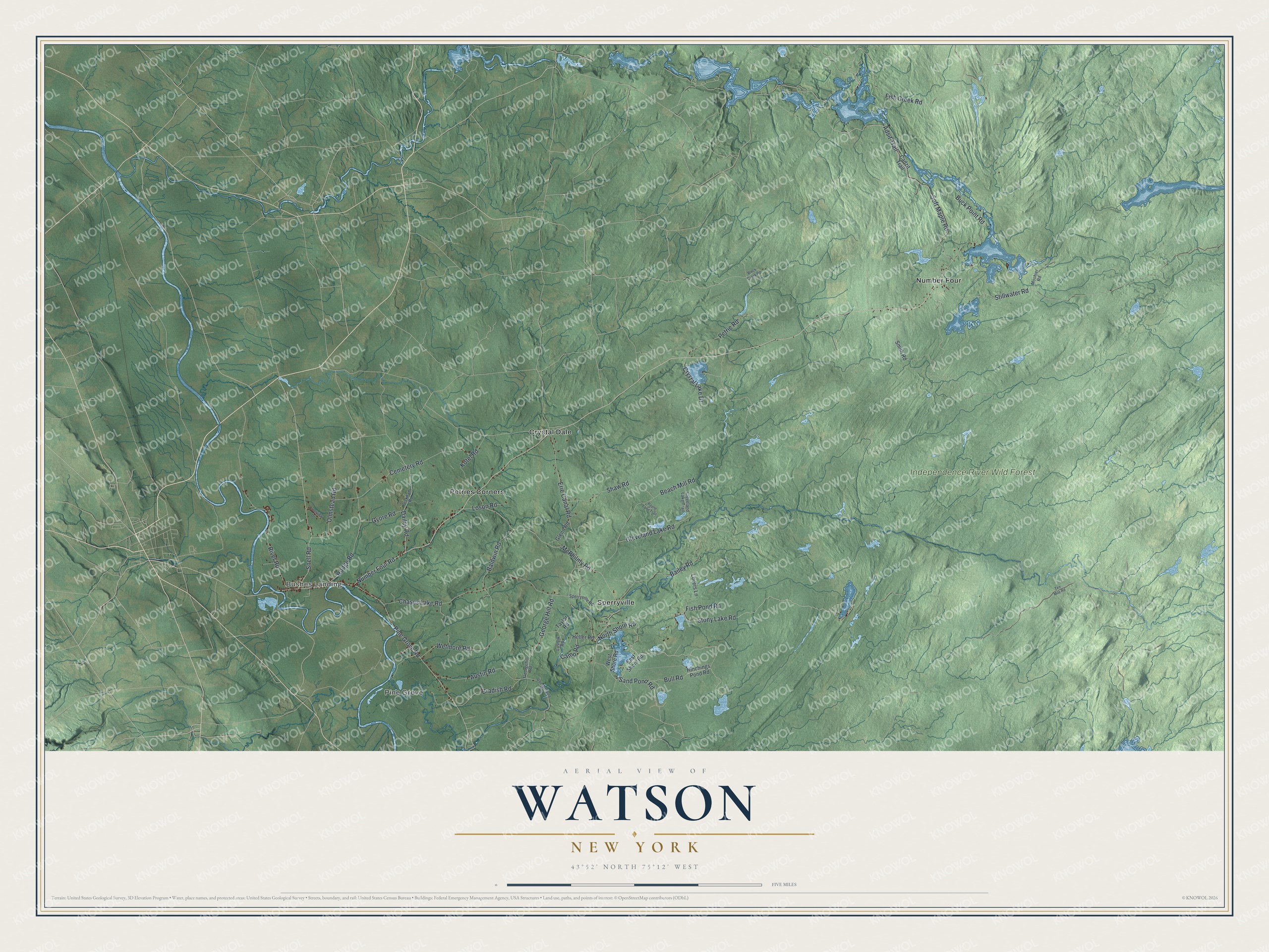
This beautifully detailed map of Watson, New York was created in 2026 using aerial imagery combined with modern topographical, census, street and landmark data. It’s a one-of-a-kind view of Watson that combines accurate data with a vintage aesthetic. The map shows every building in its true location, many of the roads carry their names, and the shaded topographic relief shows the shape of the land.
Explore an aerial view of Watson, New York
On the map you’ll find Bushes Landing, Pine Grove, Crystal Dale, Number Four, Petries Corners, and Independence River Wild Forest, along with Stony Lake Road, Bull Road, Number Four Road, Sand Pond Road, Shore Road, and more. If you look closely you can even find your house accurately drawn in its correct location. Zoom in on the preview to look for yours.
Did You Know?
Watson is named for James Watson, an early landowner. Settlers first came around 1815, and the town was formed from Leyden in 1821. Watson later gave up land to create four towns: Greig, Diana, Croghan and New Bremen.
Take a closer look at the Watson map
Names on this map
These names are printed on this map.
Places: Bushes Landing, Pine Grove, Independence River Wild Forest, Crystal Dale, Number Four, Petries Corners and Sperryville.
Streets and roads: Stony Lake Road, Bull Road, Number Four Road, Sand Pond Road, North Shore Road, McPhilmy Road, Stillwater Road, Soft Maple Road, Crystal Lake Drive, Erie Canal Road, Adsit Trail, Chases Lake Road.
More street names, A to Z
Austin Road, Bailey Road, Baldwin Road, Beach Mill Road, Black Creek Road, Bradish Road, Buck Point Road, Cadzit Trail, Camp Road, Cemetery Road, Cleveland Lake Road, Cleveland Lake Trail, Crestview Drive, Dailey Road, Donnattsburg Road, East Shore Road, Fish Creek Road, Fish Pond Road, George Hill Road, Georgehill Road, Glenn Road, Gyore Road, Heller Road, Hinchings Pond Road, Hodge Road, Kotel Road, Loson Road, Lovers Lane, Lustyik Road, Moshier Road, Olmstead Road, Payne Lane Trail, Peckham Road, Petrie Road, Pine Grove Road, River Road, Shaw Road, Smith Road, Snell Road, Sperryville Road, Taylor Road, Ten Mile Road, West Shore Road, Wetmore Road.
See it on a wall
The Watson map as a framed print. Swipe for more.


This beautifully detailed map of Watson makes an attractive addition to your office, library, or den, and it can even be used to teach children the geography and history of the area. It also makes a great gift for someone who left Watson and still calls it home. When you’re done exploring, click here to get your copy of the Watson map.