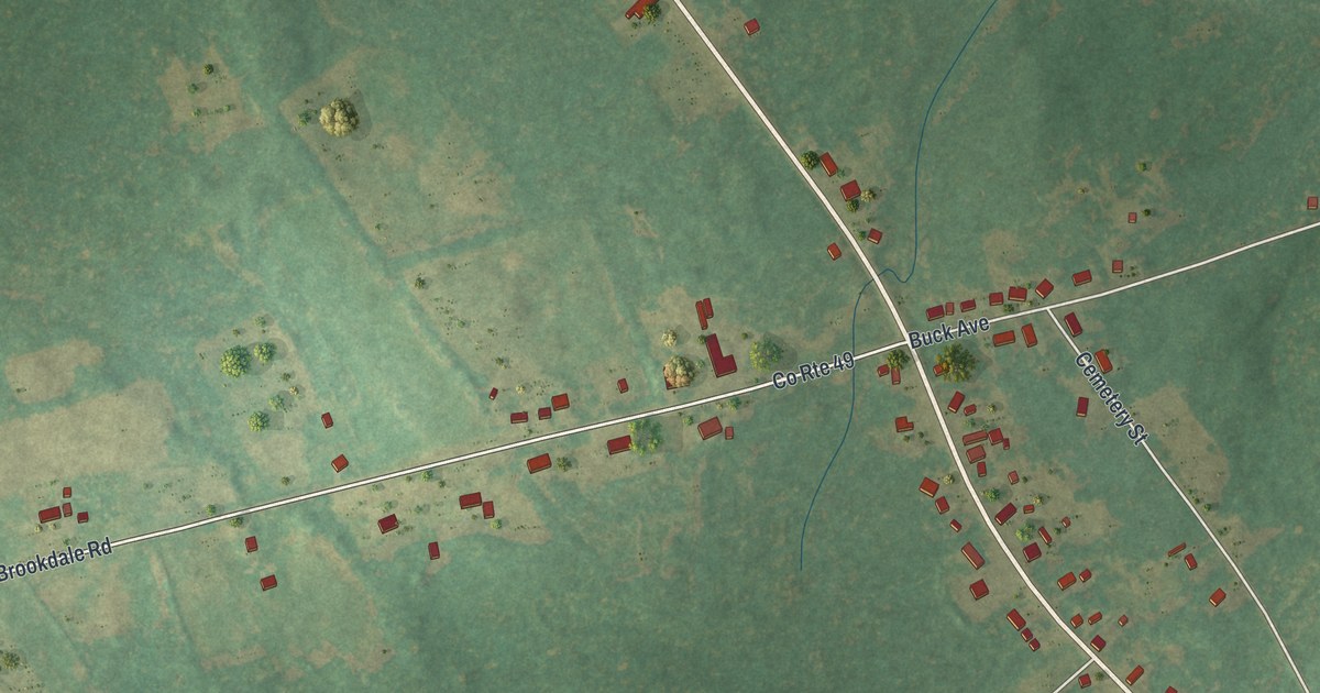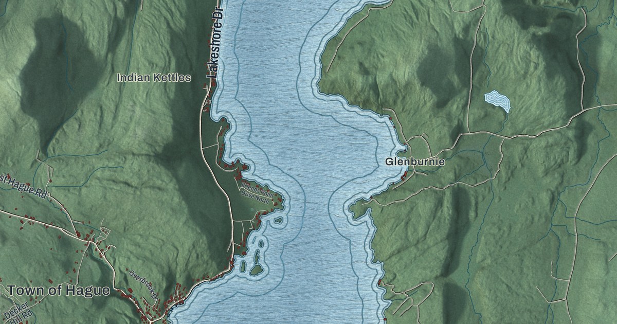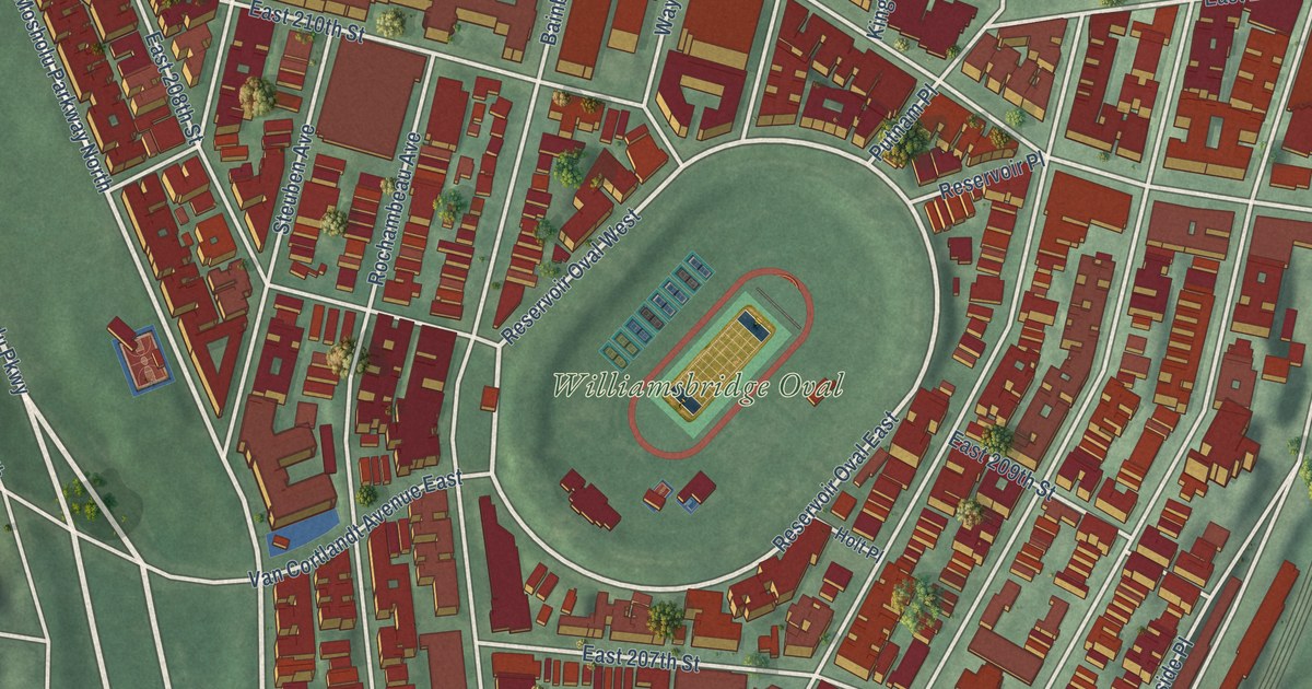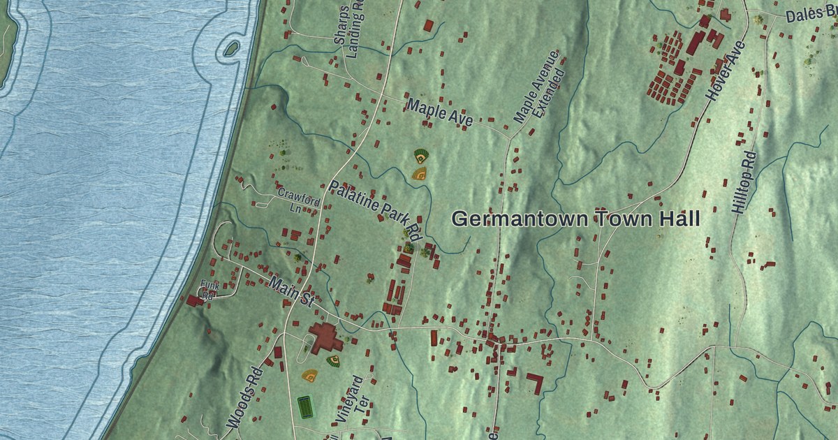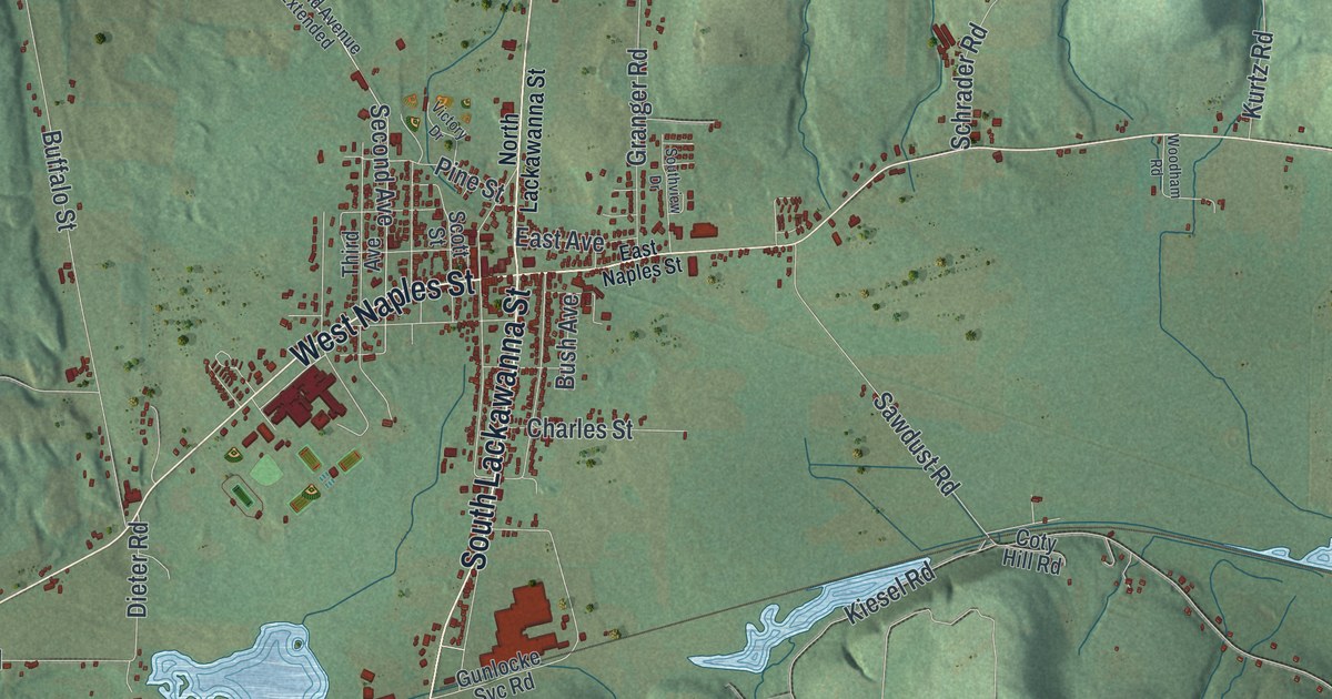
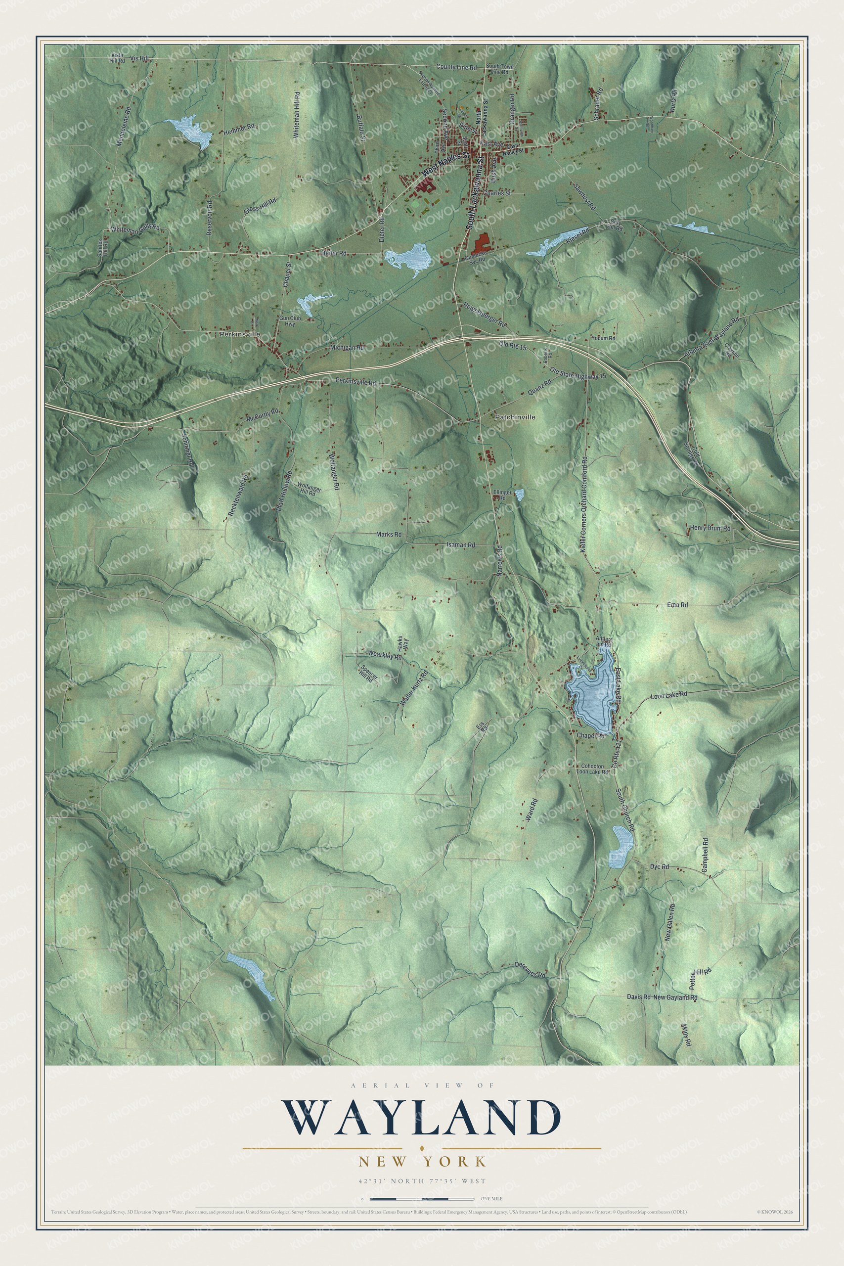
This beautifully detailed map of Wayland, New York was created in 2026 using aerial imagery combined with modern topographical, census, street and landmark data. It’s a one-of-a-kind view of Wayland that combines accurate data with a vintage aesthetic. The map shows every building in its true location, many of the roads carry their names, and the shaded topographic relief shows the shape of the land.
Explore an aerial view of Wayland, New York
On the map you’ll find Vis Hill, Perkinsville, and Patchinville, along with Lackawanna Street, Naples Street, Mendoleine Road, Second Avenue, and more. If you look closely you can even find your house accurately drawn in its correct location. Zoom in on the preview to look for yours.
Did You Know?
Wayland was a stop for the stagecoach between Elmira and Buffalo. The last coach, a buckboard wagon, made its final trip on July 20, 1889. After the Erie Railroad came in the 1850s, German immigrants settled here. They gave Wayland a name for hard work and thrift. That’s from the 1940 WPA guide to New York.
Take a closer look at the Wayland map
Names on this map
These names are printed on this map.
Places: Perkinsville and Patchinville.
Streets and roads: South Lackawanna Street, West Naples Street, County Line Road, Vis Hill, Mendoleine Road, Second Avenue, Old Route 15, Old State Highway 15, Dye Road, Kiefer Corners Orchard Comford Road, Quanz Road, Perkinsville Road.
More street names, A to Z
Akins Road, Antlers Inn Road, Atlanta East Wayland Road, Buffalo Street, Bush Avenue, Campbell Road, Chapel Road, Chapel Street, Charles Street, Clayson Road, Cohocton Loon Lake Road, Cold Springs Road, Coty Hill Road, County Route 121, Davis Road, Deiter Road, Derevees Road, Dieter Road, East Avenue, East Lake Road, East Naples Street, Ellinger Road, Emo Road, Ess Road, Granger Road, Gross Hill Road, Gun Club Highway, Gunlocke Svc Road, Hawks Way, Hemmer Road, Henry Drum Road, Isaman Road, Kiesel Road, Kurtz Road, Lindenwood Drive, Loon Lake Road, Mark Drive, Marks Road, McCurdy Road, Michigan Road, Narrows Road, New Galen Road, New Gayland Road, North Lackawanna Street, Pfaff Hollow Road, Pine Street, Potter Hill Road, Recktenwald Road, Reigelsperger Road, Reservoir Road, Roberts Road, Sahrles Hill Road, Sawdust Road, Schirmer Road, Schrader Road, Scott Street, Second Avenue Extended, South Church Road, South Town Line Road, Southview Drive, Spencer Hill Road, Third Avenue, Victory Drive, Vista Hill Road, Walter Kurtz Road, Ward Road, Wearkley Road, Whiteman Gully Road, Whiteman Hill Road, Wolfanger Hill Road, Wolfanger Road, Woodham Road, Yocum Road.
See it on a wall
The Wayland map as a framed print. Swipe for more.


This beautifully detailed map of Wayland makes an attractive addition to your office, library, or den, and it can even be used to teach children the geography and history of the area. It also makes a great gift for anyone with Wayland roots. When you’re done exploring, click here to get your copy of the Wayland map.