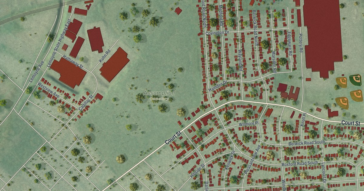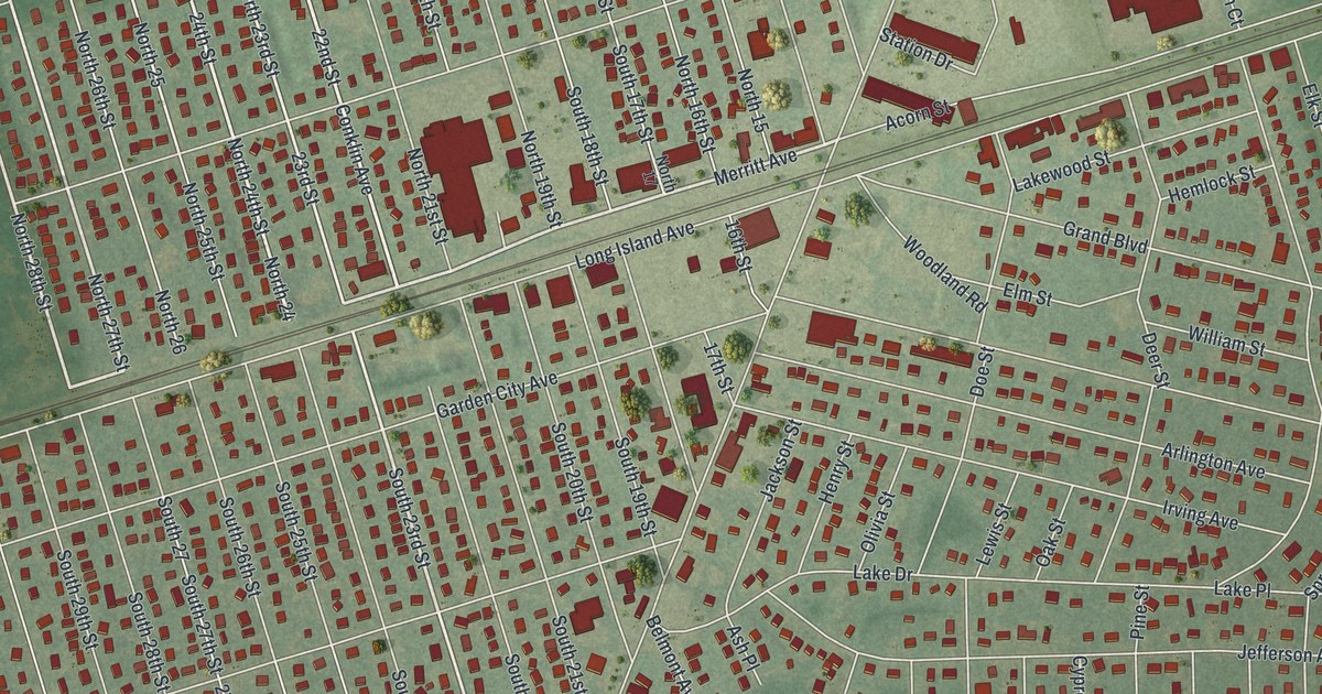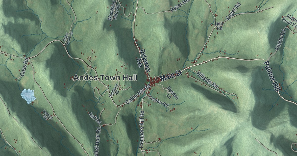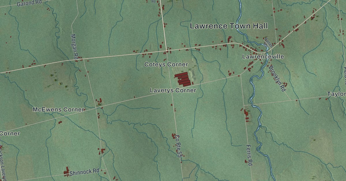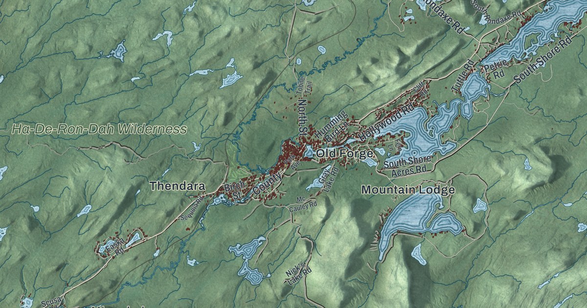
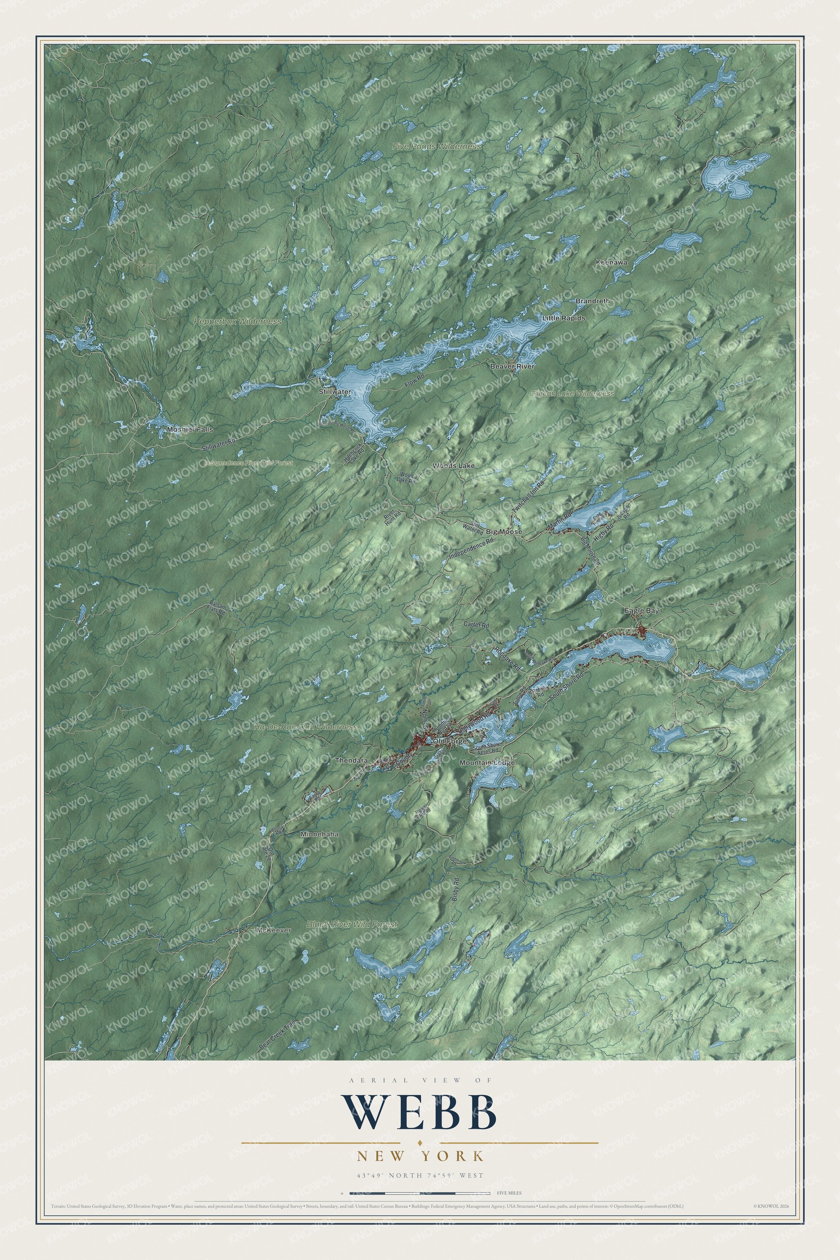
This beautifully detailed map of Webb, New York was created in 2026 using aerial imagery combined with modern topographical, census, street and landmark data. It’s a one-of-a-kind view of Webb that combines accurate data with a vintage aesthetic. The map shows every building in its true location, many of the roads carry their names, and the shaded topographic relief shows the shape of the land.
Explore an aerial view of Webb, New York
On the map you’ll find McKeever, Minnehaha, Beaver River, Big Moose, Brandreth, Black River Wild Forest, and Independence River Wild Forest, along with Stillwater Road, Twitchell Inn Road, Independence Road, Carter Road, Rondaxe Road, and more. If you look closely you can even find your house accurately drawn in its correct location. Zoom in on the preview to look for yours.
Did You Know?
The town is named for Dr. William Seward Webb, who headed several Adirondack railroad and boat companies. His Mohawk and Malone Railway arrived in 1892. It brought twenty years of good times from lumbering and tourism. The railroads here helped open the Adirondacks to crowds of visitors.
Take a closer look at the Webb map
Names on this map
These names are printed on this map.
Places: McKeever, Minnehaha, Black River Wild Forest, Five Ponds Wilderness, Ha-De-Ron-Dah Wilderness, Independence River Wild Forest, Pepperbox Wilderness, Pigeon Lake Wilderness, Beaver River, Big Moose, Brandreth, Eagle Bay, Keepawa, Little Rapids, Moshier Falls, Mountain Lodge, Old Forge, Stillwater, Thendara and Woods Lake.
Streets and roads: Stillwater Road, Twitchell Inn Road, Independence Road, Carter Road, Rondaxe Road, Bisby Road, South Shore Road, Flow Road, Hollywood Road, Bear Creek Trail, Martin Road, County.
More street names, A to Z
Balsam Flats Road, Big Moose Road, Birch Street, Cliff Road, Crag Point Road, Easka Road, Fern Lane, Goldmine Road, Gray Lake Road, Higby Road, Hitchcock Lake Road, Humming Bird Lane, Judson Road, Mc Cauley Road, Nick's Lake Road, North Street, Old Route 28, Park Avenue, Petrie Road, Privat, River Hunt Road, Scusa Road, Sequoia Road, South Rondaxe Road, South Shore Acres Road, Stillwater-Big Moose Road, Still Water Road, Tobile Trail, Tuttle Road, Wood Lake Road.
See it on a wall
The Webb map as a framed print. Swipe for more.


This beautifully detailed map of Webb makes an attractive addition to your office, library, or den, and it can even be used to teach children the geography and history of the area. It also makes a great gift for someone who left Webb and still calls it home. When you’re done exploring, click here to get your copy of the Webb map.