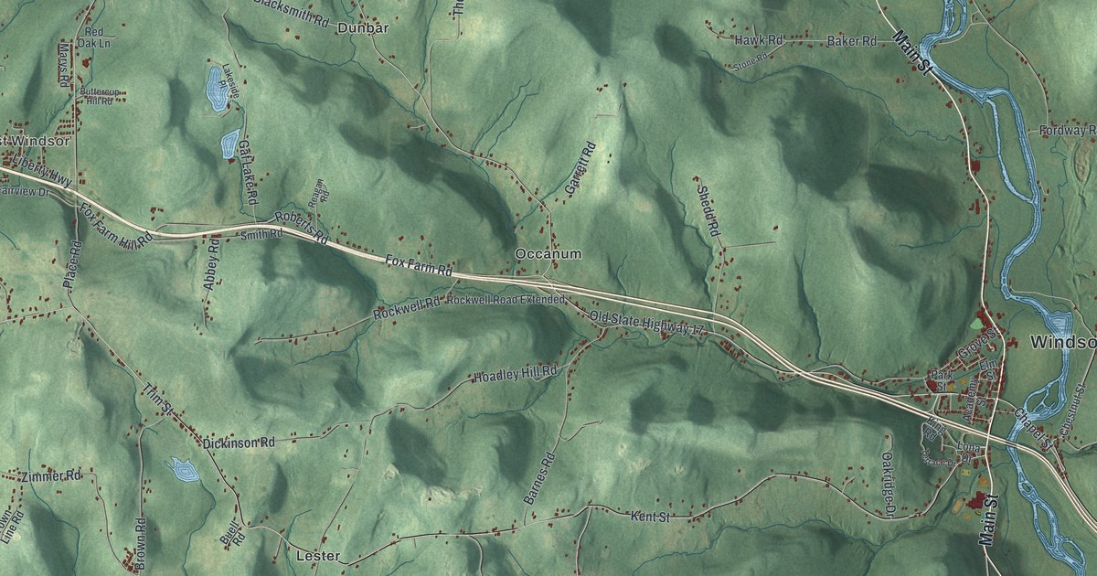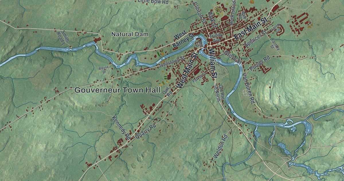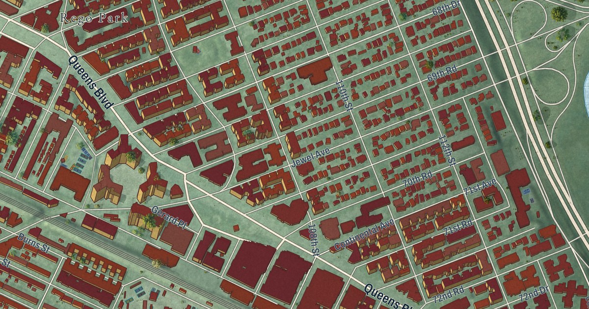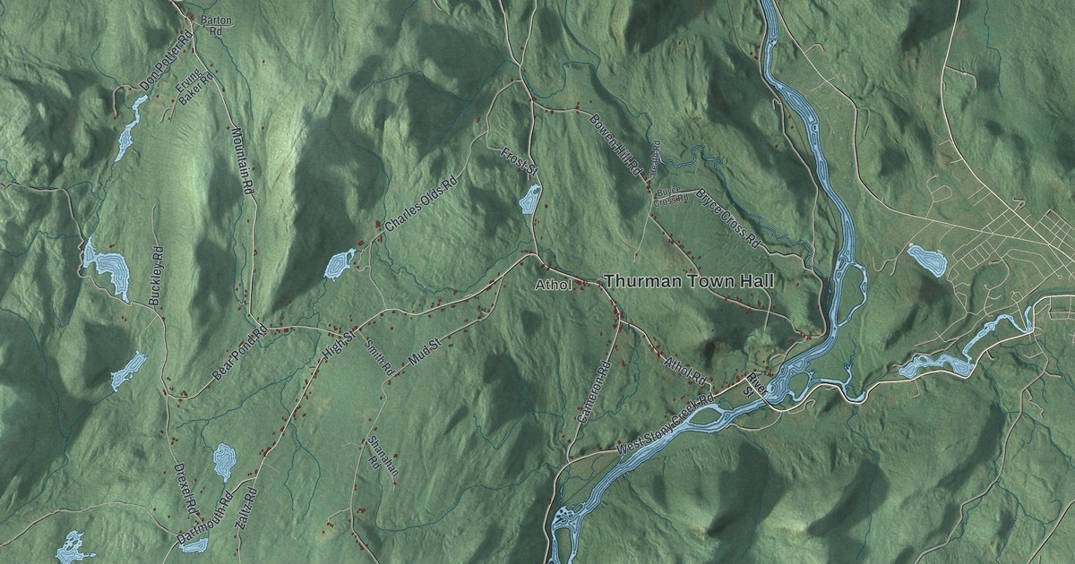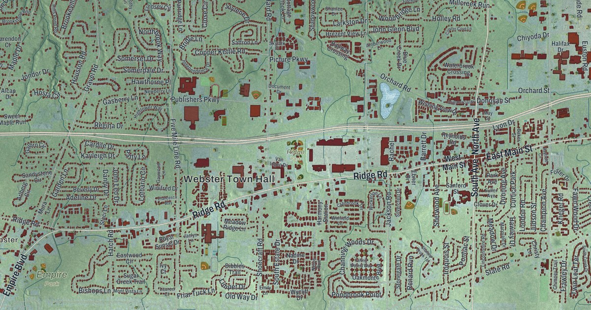
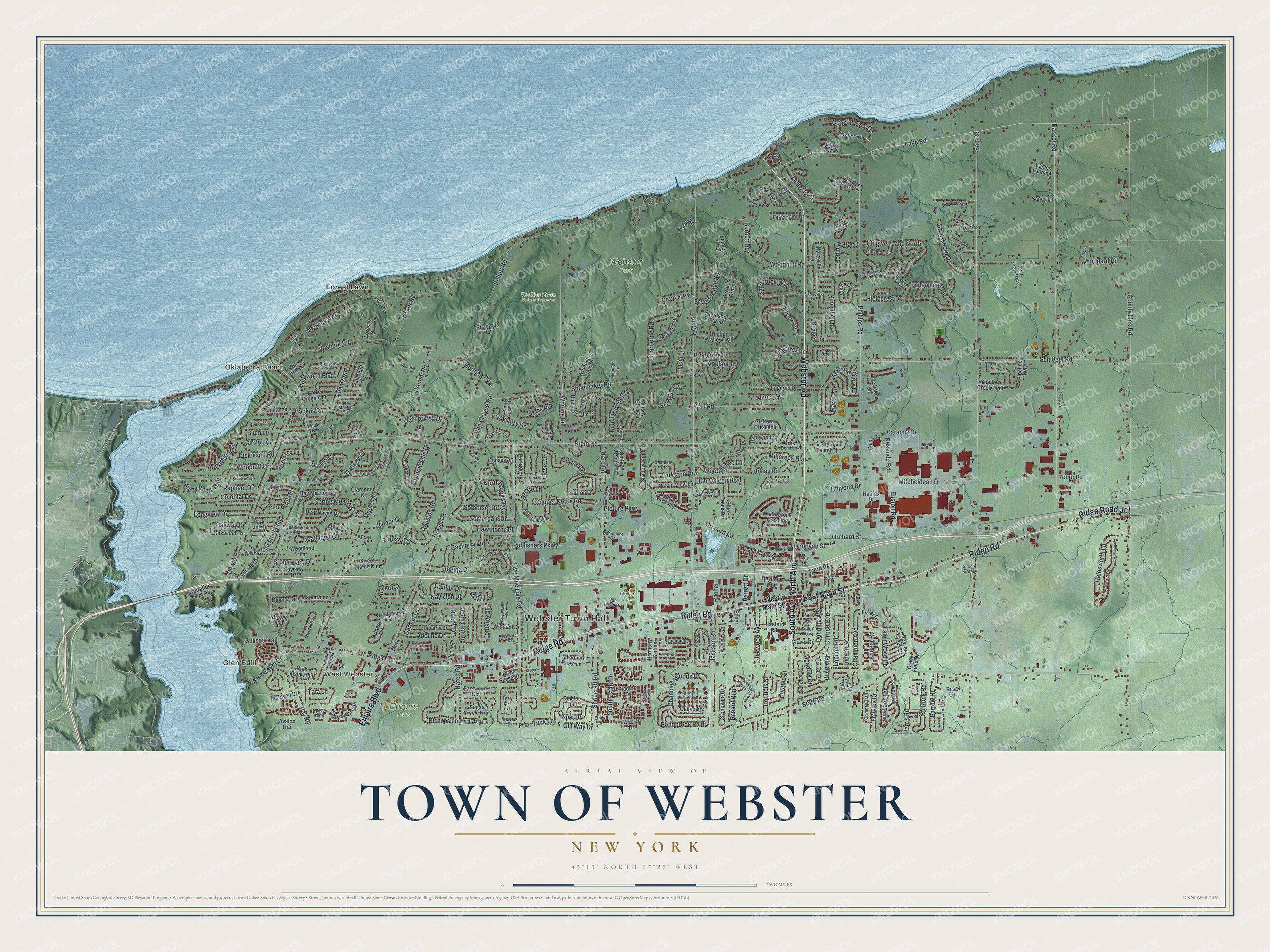
This beautifully detailed map of the Town of Webster, New York was created in 2026 using aerial imagery combined with modern topographical, census, street and landmark data. It’s a one-of-a-kind view of the Town of Webster that combines accurate data with a vintage aesthetic. The map shows every building in its true location, many of the roads carry their names, and the shaded topographic relief shows the shape of the land.
Explore an aerial view of the Town of Webster, New York
On the map you’ll find Webster Town Hall, Glen Edith, Oklahoma Beach, West Webster, Forest Lawn, Empire Park, Ridge Park, and Whiting Road Nature Preserve, along with Ridge Road, Webster Road, South Avenue, North Avenue, and more. If you look closely you can even find your house accurately drawn in its correct location. Zoom in on the preview to look for yours.
Did You Know?
In July 1837, Daniel Webster gave a speech on the economy to Whigs in Rochester. Farmers from North Penfield heard him and admired his skill as a speaker. They later asked the state for their own town and named it for him. Webster became a town on February 6, 1840.
Take a closer look at the Town of Webster map
Names on this map
These names are printed on this map.
Places: Webster Town Hall, Glen Edith, Oklahoma Beach, West Webster, Empire Park, Ridge Park, Webster Park, Whiting Road Nature Preserve, Forest Lawn, Curtice Park and Ohstrom Park.
Streets and roads: Ridge Road, Webster Road, South Avenue, North Avenue, East Main Street, Empire Boulevard, Ridge Road Jct, Glen Edyth Drive, County Line Road, Dickinson Road, Dewitt Road, Channing Woods Drive.
More street names, A to Z
Adams Road, Adeline Drive, Admiralty Way, Alcap Drive, Amberwood Lane, Appian Drive, Apple Grove Circle, Apple Orchard Lane, Aria Lane, Arlberg Circle, Avalon Trail, Backus Road, Baker Road, Baker Street, Bannerwood Drive, Bannerwood Lane, Barrett Drive, Barrow Hl, Bartell Lane, Basket Road, Bay Meadow Drive, Bay Road, Bayside Drive, Bayway Drive, Beach Drive, Beaver Creek Drive, Bending Bough Drive, Betlor Drive, Beverly Drive, Birch Lane, Bishops Lane, Blackberry Lane, Blue Creek Drive, Brattleboro Drive, Briarfield Way, Bridle Lane, Brixton Trail, Brookeville Drive, Brooksboro Drive, Brookstone Bnd, Brooktree Lane, Brookwood Drive, Burnett Road, Canopy Trail, Caracus Drive, Cardile Drive, Champion Avenue, Chatelaine Drive, Cherry Hill Lane, Cherry Laurel Circle, Chestnut Bend, Chigwell Lane North, Chigwell Lane South, Chimney Trail, Chiyoda Drive, Christy Lane, Circle Lane, Clarendon Court, Close Circle, Clover Drive, Coastal View Drive, Colonial Drive, Colorado Drive, Commercial Street, Concord Drive, Conifer Cove Lane, Copper Kettle Road, Cottage Brook Lane, Coventry Drive, Covewood Boulevard, Cranbrook Terrace, Creek Bend Lane, Creek Edge Drive, Creek Field Drive, Danby Drive, Deer Haven Drive, Dibbles Trail, Document Drive, Donovan Street, Drumm Road, Dunnbridge Drive, Dunning Avenue, Eagles Landing, Eastham Court, Eastwood Circle, Ebina Drive, Ebner Drive, Emily Lane, Euston Road, Everwild Vw, Fallen Leaf Terrace, Falling Waters Way, Fawn Wood Drive, Fieldcrest Drive, Finchingfield Lane, Five Mile Line Road, Forest Drive, Foster Drive, Francesca Way, Frawley Drive, Friar Tuck Lane, Fuller Avenue, Galbro Circle, Gallant Fox Lane, Galleon Drive, Garden Lane, Gasberry Lane, Gaywood Lane, Gerrads Cross, Glenview Court, Golf View Heights, Granger Circle, Gravel Road, Greensboro Drive, Halesworth Lane, Halifax Drive, Hard Road, Hard Rock Road, Hardwood Lane, Harmony Station, Harris Road, Hartsville Lane, Hatch Road, Hawley Drive, Hawthorne Place, Heathland Circle, Hemlock Trail, Herman Road, Hidden Valley Trail, Hightower Way, High Vista Trail, Hills Pond Road, Holley Road, Hollywood Boulevard, Holt Road, Hosta Circle, Houston Road, Hrezent View Lane, Imperial Drive, Independence Drive, Inspiration Point Road, Iroquois Street, Ivy Court, Jackson Road, Jaclyn Lane, John Glenn Boulevard, John Leo Drive, Jondor Drive, Joylene Drive, Judson Street, Kayleigh Drive, Klem Road, Krieger Road, Lake Park Lane, Lake Point Drive, Lake Road, Lakeview Terrace, Lakeville Lane, Lake Walk, La Quinta Drive, Larkston Drive, Lauren Court, Licia Lane, Lilla Lane, Limpet Drive, Lincolnshire Road, Lindsey Circle, Little Pond Way, Locust Hill Drive, London Road, Longbush Lane, Longview Drive, Lothario Circle, Loughton Drive, Lyon Drive, Majestic Way, Maple Drive, Maplewood Lane, Marigold Drive, Maris Run, Maryvale Drive, May Street, McEwen Drive, Meadow Breeze Lane, Meadow Drive, Meadow Ridge Lane, Midnight Trail, Millcreek Run, Mill Stream Run, Mitcheldean Drive, Mont Vista Lane, Morning Glory Drive, Mura Lane, Nadine Drive, Neros Run, Newberry Lane, Northbrook Way, Notre Dame Drive, Oakmonte Boulevard, Oakwood Lane, Old Mill Lane, Old Way Drive, Orchard Road, Orchard Street, Park Avenue, Park Lane Drive, Park Road, Park Vista Trail, Partridge Lane, Patty Lane, Pellett Road, Phillips Road, Picture Parkway, Pine Lakes Trail, Pineville Lane, Pipeline Way, Pondbrook Point, Pontiac Street, Princeton Road, Publishers Parkway, Rachel, Railway Crossing, Raphael Drive, Rayfield Circle, Regatta Drive, Regina Drive, Renard Run, Resende Road, Reynolds Road, Robin Hood Lane, Rolins Run, Rondo Lane, Rosa Circle, Royal Sunset Drive, Saffron Lane, Sagebrook Way, Salt Road, Sandy Lane, Sandystone Circle, Sanford Street, San Ron Drive, Sari Court, Schlegel Road, Severn Ridge Road, Shadowwood Lane, Shady Glen Circle, Shallow Brook Terrace, Shallow Creek Trail, Shangrila Lane, Shanlee Drive, Sherborne Road, Sherwood Avenue, Shoecraft Road, Shoemaker Road, Shorewood Drive, Silvercrest Drive, Skylark Place, Somerdale Drive, Somerset Drive, South Creek Drive, South Estate Drive, Southshore Place, Spring Meadow Lane, Staci Lane, Stafford Crescent, State Road, Stonegate Drive, Stoney Creek Run, Stony Point Trail, Sugar Creek Trail, Sundance Trail, Sun Hill Lane, Sunningdale Rise, Sunset Creek, Sunset Trail, Sweet Maple Run, Tanton Way, Tara Lane, Tebor Road, Thomar Drive, Thrushwood Lane, Thyme Drive, Timothy Lane, Trellis Circle, Twin Leaf Terrace, Van Alstyne Road, Vanessa Drive, Van Ingen Drive, Viking Circle, Volk Road, Vosburg Road, Wahlmont Drive, Wall Road, Waterbrook Crossing, Webster Manor Drive, Weidel Road, Wellington Road, West Main Street, Whiting Road, Wickerton Lane, Wildflower Drive, Winding Creek Drive, Winfield Lane, Winifred Drive, Wishing View Drive, Woodard Road, Woodbridge Lane, Wood Harbor Trail, Woodhull Road, Woodland Lane, Woodruff Drive, Woodsboro Farms, Woodsview Drive, Wycliff Drive.
See it on a wall
The Webster map as a framed print. Swipe for more.


This beautifully detailed map of the Town of Webster makes an attractive addition to your office, library, or den, and it can even be used to teach children the geography and history of the area. It also makes a great gift for someone who left the Town of Webster and still calls it home. When you’re done exploring, click here to get your copy of the Town of Webster map.