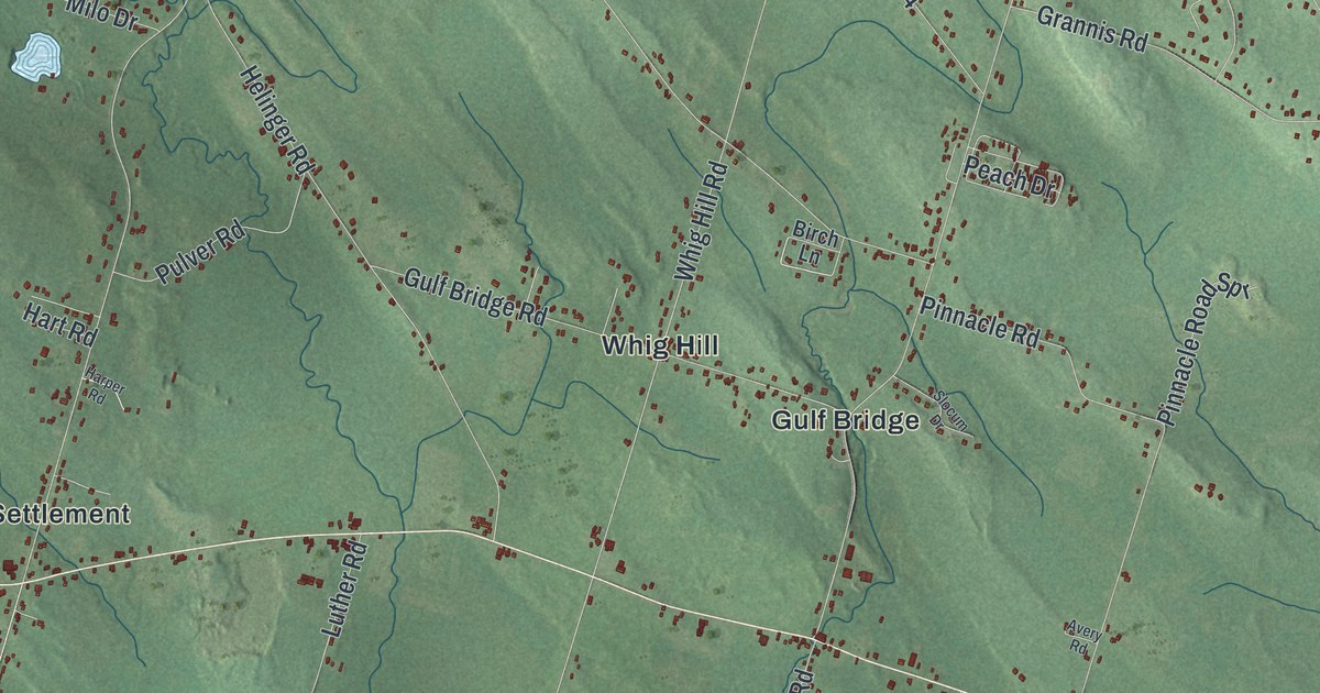
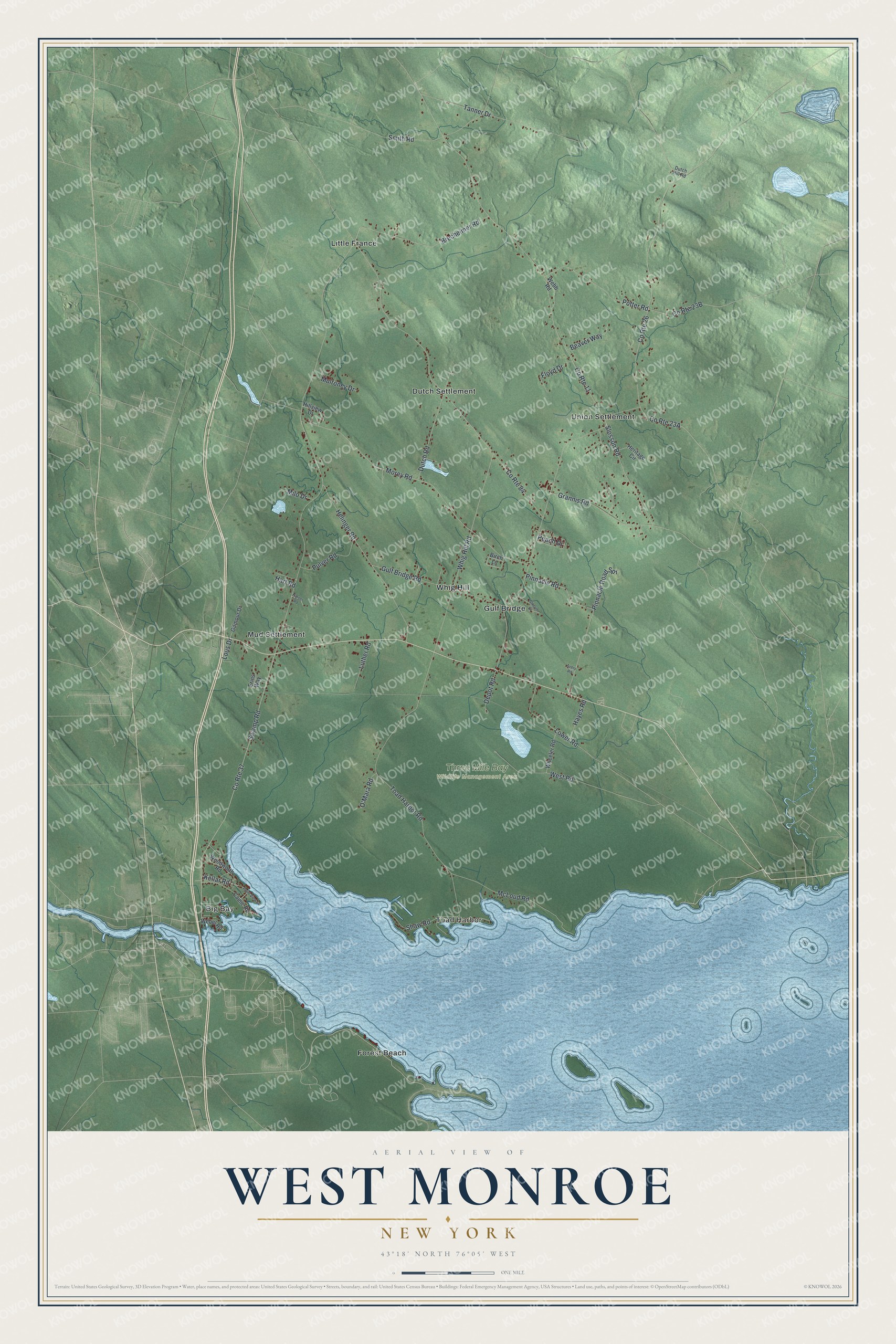
This beautifully detailed map of West Monroe, New York was created in 2026 using aerial imagery combined with modern topographical, census, street and landmark data. It’s a one-of-a-kind view of West Monroe that combines accurate data with a vintage aesthetic. The map shows every building in its true location, many of the roads carry their names, and the shaded topographic relief shows the shape of the land.
Explore an aerial view of West Monroe, New York
On the map you’ll find Big Bay, Toad Harbor, Dutch Settlement, Forest Beach, Gulf Bridge, and Three Mile Bay Wildlife Management Area, along with Kellar Road, Toad Harbor Road, Morey Road, Swamp Road, Whig Hill Road, and more. If you look closely you can even find your house accurately drawn in its correct location. Zoom in on the preview to look for yours.
Did You Know?
In 1806, four farmers bought land here from George Scriba, paying two to two and a half dollars an acre. They were the area’s first non-Native settlers. The town was formed from Constantia on March 21, 1839.
Take a closer look at the West Monroe map
Names on this map
These names are printed on this map.
Places: Big Bay, Toad Harbor, Three Mile Bay Wildlife Management Area, Dutch Settlement, Forest Beach, Gulf Bridge, Little France, Mud Settlement, Union Settlement and Whig Hill.
Streets and roads: County Route 37, Kellar Road, County Route 11, County Route 84, Toad Harbor Road, County Route 26, Morey Road, Swamp Road, Whig Hill Road, Helinger Road, Tanner Drive, Pinnacle Road.
More street names, A to Z
Avery Road, Beaver Way, Birch Lane, Brecheimer Road, Camic Road, Depot Road, Dutch Hill Road, Dutch Road, Erins Way, Floyd Drive, Gilmour Drive, Grannis Road, Gulf Bridge Road, Harper Road, Hart Road, Hayes Road, Heritage Circle, Hillview Drive, Lous Drive, Lower Road, Luther Road, McLoud Road, Milo Drive, Mulroney Drive, O'Mara Road, Peach Drive, Pinnacle Road Spr, Point View Drive, Potter Road, Pulver Road, Shaw Road, Slocum Drive, Slosson Road, Smith Road, Webb Road, Weber Road, West Road, Wheeler Road, Woodworth Road.
See it on a wall
The West Monroe map as a framed print. Swipe for more.


This beautifully detailed map of West Monroe makes an attractive addition to your office, library, or den, and it can even be used to teach children the geography and history of the area. It also makes a great gift for someone who left West Monroe and still calls it home. When you’re done exploring, click here to get your copy of the West Monroe map.