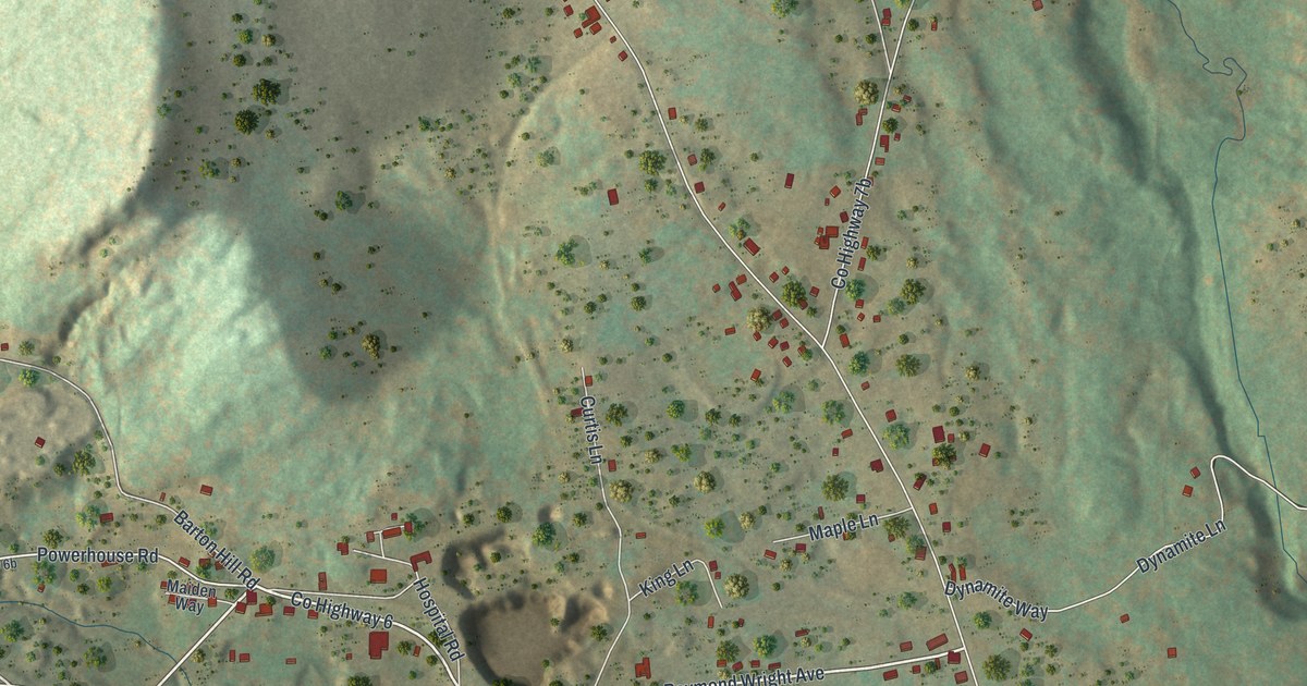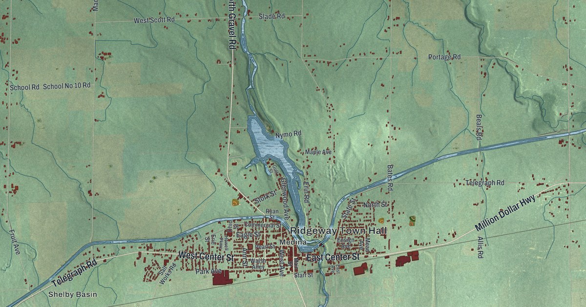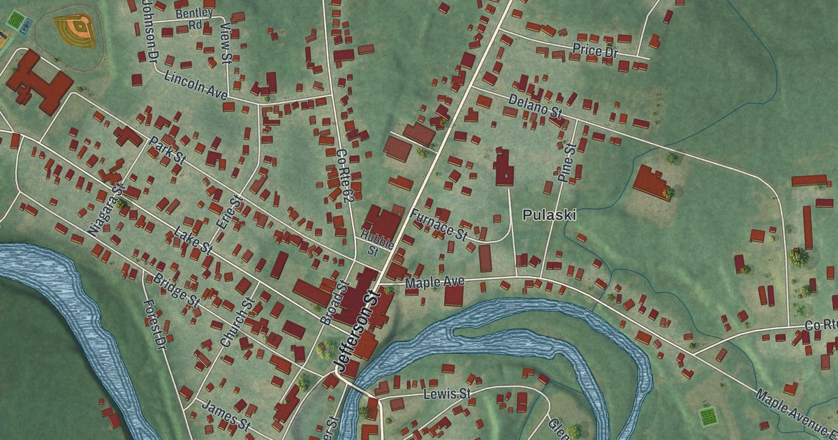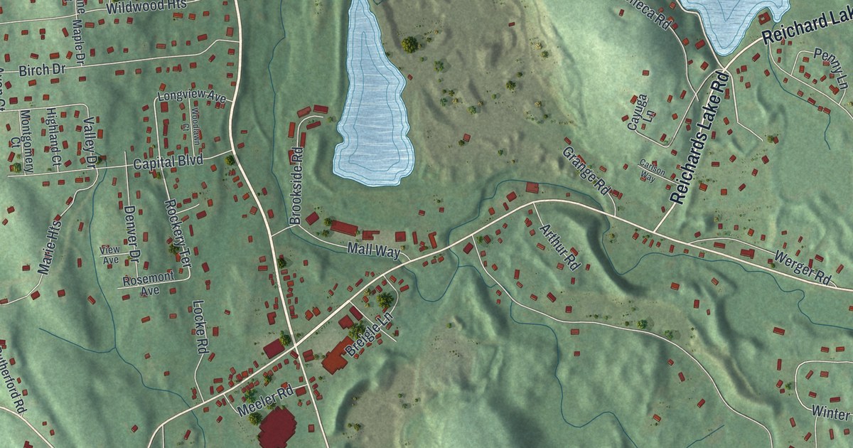
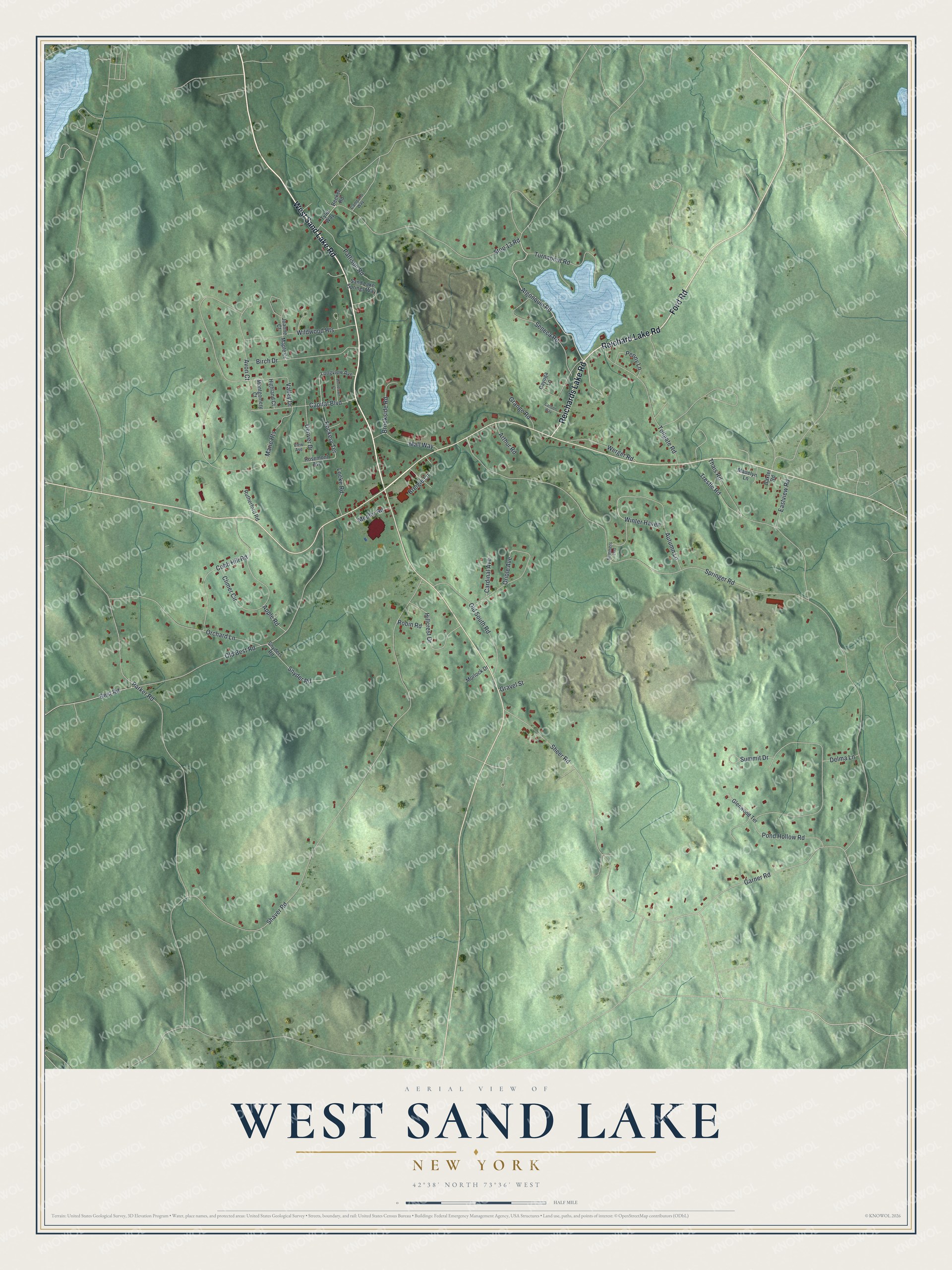
This beautifully detailed map of West Sand Lake, New York was created in 2026 using aerial imagery combined with modern topographical, census, street and landmark data. It’s a one-of-a-kind view of West Sand Lake that combines accurate data with a vintage aesthetic. The map shows every building in its true location, many of the roads carry their names, and the shaded topographic relief shows the shape of the land.
Explore an aerial view of West Sand Lake, New York
On the map you’ll find Sand Lake Road, Ford Road, Reichard Lake Road, Reichards Lake Road, Algonquin Road, and more. If you look closely you can even find your house accurately drawn in its correct location. Zoom in on the preview to look for yours.
Did You Know?
The hamlet was first called Ulinesville, or Uline’s Corners. Those names honored Bernhard Uhlein. In 1793 he took a lease on 325 acres of farmland in the old Manor of Rensselaerswyck. Uline also ran the hamlet’s first tavern. The place took the name West Sand Lake in 1838.
Take a closer look at the West Sand Lake map
Names on this map
These names are printed on this map.
Streets and roads: West Sand Lake Road, Ford Road, Reichard Lake Road, Reichards Lake Road, Algonquin Road, Snyder Road, Rockery Terrace, Shaver Road, Thais Road, Springer Road, Old Best Road, Parker Road.
More street names, A to Z
Apple Road, Arthur Road, Autumn Lane, Avon Court, Baxter Road, Beeker Road, Best Road, Birch Drive, Breigle Lane, Brookside Road, Campano Way, Capital Boulevard, Cardinal Avenue, Carlson Way, Cayuga Lane, Climer Circle, Cobb Hill Road, Delma Lane, Denver Drive, Eastview Road, Garner Road, Glenwood Terrace, Grange Road, Gravel Street, Highland Court, Hillcrest Drive, Joanne Court, Locke Road, Longview Avenue, Madelyn Lane, Mall Way, Maple Drive, Marie Heights, Meeler Road, Montgomery Court, Morlock Drive, Old South Road, Orchard Lane, Oriole Avenue, Pattison Road, Penny Lane, Pond Hollow Road, Robin Road, Rosemont Avenue, Rutherford Road, Sand Lake Springs Way, Seneca Road, Sheer Road, Snyders Road, Stop 13 Road, Summers End, Summit Drive, Tollgate Road, Trestle Road, Turnabout Road, Tyler Way, Valley Drive, View Avenue, Werger Road, Wildwood Heights, Winter Haven, Woodlawn Court.
See it on a wall
The West Sand Lake map as a framed print. Swipe for more.


This beautifully detailed map of West Sand Lake makes an attractive addition to your office, library, or den, and it can even be used to teach children the geography and history of the area. It also makes a great gift for anyone with West Sand Lake roots. When you’re done exploring, click here to get your copy of the West Sand Lake map.