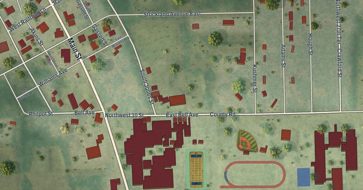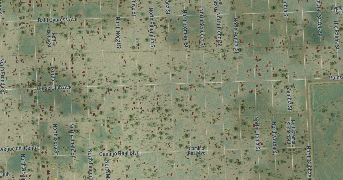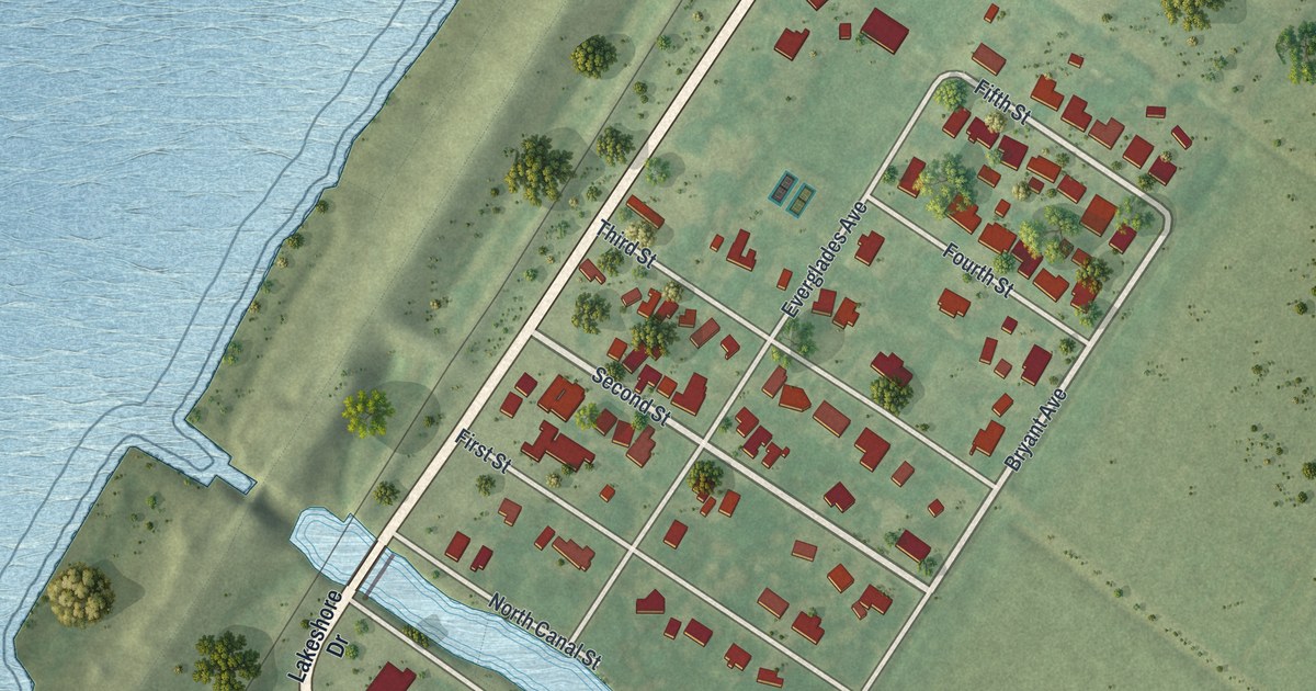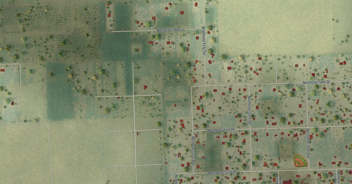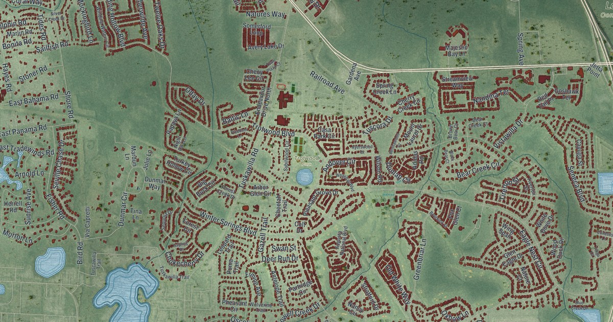
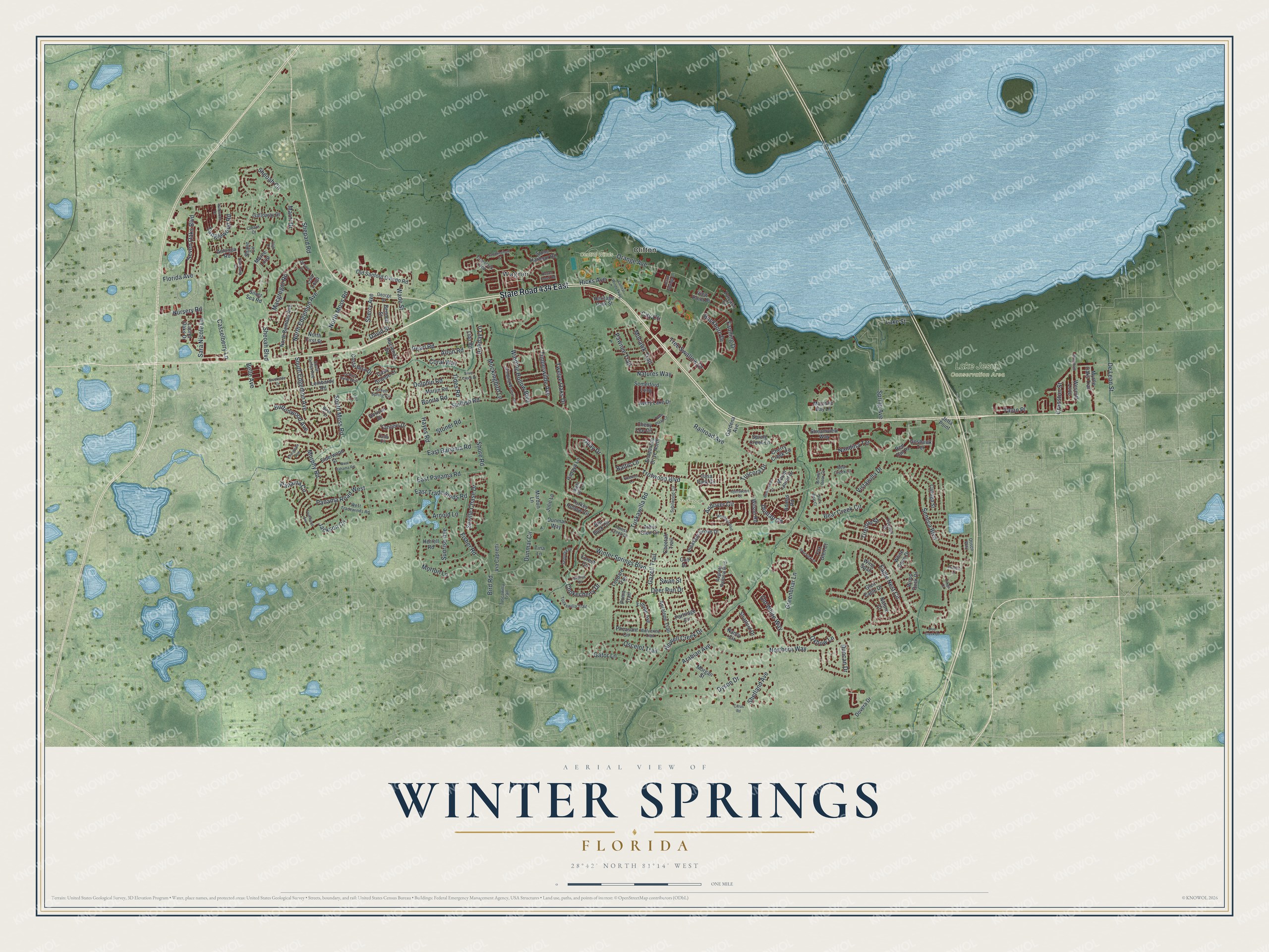
This beautifully detailed map of Winter Springs, Florida was created in 2026 using aerial imagery combined with modern topographical, census, street and landmark data. It’s a one-of-a-kind view of Winter Springs that combines accurate data with a vintage aesthetic. The map shows every building in its true location, many of the roads carry their names, and the shaded topographic relief shows the shape of the land.
Explore an aerial view of Winter Springs, Florida
On the map you’ll find Wagner, Clifton, Central Winds Park, Lake Jesup Conservation Area, and Trotwood Park, along with Sheoah Boulevard, Sheoah Circle, Panama Road, Tirerton Street, Dunlap Circle, and more. If you look closely you can even find your house accurately drawn in its correct location. Zoom in on the preview to look for yours.
Did You Know?
Settlers founded this place as the community of Tuskawilla around 1865. It incorporated in 1959 as the City of North Orlando. The city did not border Orlando, and the name confused people. So in 1972 it became the City of Winter Springs.
Take a closer look at the Winter Springs map
Names on this map
These names are printed on this map.
Places: Wagner, Central Winds Park, Lake Jesup Conservation Area, Trotwood Park and Clifton.
Streets and roads: State Road 434 East, Sheoah Boulevard, Sheoah Circle, Panama Road West, Tirerton Street, Dunlap Circle, Northern Way, Winter Springs Boulevard, Tuskawilla Road, Shepard Road, Seneca Boulevard, South Edgemon Avenue.
More street names, A to Z
Adidas Road, Alton Road, Andover Circle, Anhinga Road, Antelope Trail, Arabian Avenue, Arbor Glen Circle, Arnold Lane, Augusta National Boulevard, Avery Lake Drive, Ayerswood Court, Baltic Lane, Bear Creek Circle, Bear Creek Court, Belle Avenue, Benitawood Court, Bennett Street, Big Buck Circle, Birch Terrace, Bird Road, Black Bear Court, Blue Creek Drive, Bonita Road, Braewick Street, Brookside Drive, Brown Bear Court, Buckhorn Drive, Buttonwood Avenue, Casa Grande Court, Casa Park Circle, Casselberry Lane, Cayuga Street, Cello Circle, Central Winds Parkway, Cheetah Trail, Cheoy Lee Circle, Cherry Creek Circle, Chokecherry Drive, Citrus Road, City Ctr, Clearn Court, Club Drive, Colt Drive, Conesus Lane, Coral Way, Costa Rica Drive, Cranston Street, David Street, Deer Run Drive, De Leon Street, Devon Creek Road, Dewars Court, Dolphin Road, Dovera Drive, Duncan Drive, Dunmar Circle, Dunmar Way, Dyson Drive, Eagle Nest Circle, East Bahama Road, East Panama Road, East Tradewinds Road, Elderwood Street, Endeavour Drive North, Ermine Avenue, Evergreen Avenue, Fanning Drive, Fisher Road, Florida Avenue, Forest Circle, Forest Creek Drive, Fox Glen Court, Freedom Lane, Fruitwood Avenue, Galloway Drive, Gardena Avenue, Gator Lane, Gazell Trail, George Street, Glen Eagle Drive, Goshawk Terrace, Greenbriar Lane, Green Spring Circle, Hacienda Drive, Hayes Road, Heritage Park Street, Herrell Road, Hicks Avenue, Holiday Lane, Horizon Drive, Howell Creek Drive, Jackson Circle, Jesup Springs Lane, Jetta Point, Julie Lane, Lake Street, Lancers Drive, Laurel Oaks Drive, La Vista Drive West, Leopard Trail, Lido Road, Lisa Loop, Lombardy Road, Macgregor Road, Majestic Bay Lane, Mardun Lane, Marlin Road, Marni Drive, Mockingbird Lane, Mohawk Trail, Moree Loop, Morgan Street, Morton Lane, Mount Laurel Drive, Murphy Road, Myrtle Oaks Trail, Nancy Circle, Nandina Terrace, Nature Court, Natures Way, Nighthawk Circle, Night Owl Lane, North Bombay Avenue, North Edgemon Avenue, North First Street, North Moss Road, Nursery Road, Oday Drive, Old Sanford Oviedo Road, Old White Way, Orange Avenue, Oscelot Trail, Otisco Way, Oxbow Lane, Panama Circle, Papaya Lane, Partridge Circle, Pawnee Trail, Pearl Road, Pheasant Circle, Pleasant Grove Drive, Puma Trail, Railroad Avenue, Red Tail Place, Sailfish Road, Sandringham Court, Sapling Drive, Sara Nicole Lane, Sequoia Drive, Seven Oaks Boulevard, Seville Chase Drive, Shane Circle, Sherry Avenue, Shetland Avenue, Shore Road, Silver Creek Drive, Silver Sea Road, Somerford Loop, South Fairfax Avenue, South Moss Road, Spring Avenue, Spring Creek Lane, Stone Harbour Road, Stoner Road, Stratford Drive, Streamview Way, Sunrise Avenue, Swan Street, Sybilwood Circle, Talon Place, Tanglewood Road, Tavestock Loop, Tides Road, Timberwilde Avenue, Tina Lane, Tioga Court, Tiverton Street, Torcaso Court, Town Plaza Court, Tree Swallow Drive, Trina Lane, Trotwood Boulevard, Turkey Hollow Circle, Tuscawilla Trail, Tuscora Drive, Tuskawilla Trail, Twelve Oaks Drive, Via Capretti, View Point Place, Vistawilla Drive, Wade Street, Wescott Loop, West Bahama Road, West Tradewinds Road, White Dove Drive, Whitehall Boulevard, Wildwood Drive, Wilson Road, Winding Hollow Boulevard, Winding Waters Circle, Wing Span, Wolverine Trail, Wood Duck Drive, Wrentham Court.
See it on a wall
The Winter Springs map as a framed print. Swipe for more.


This beautifully detailed map of Winter Springs makes an attractive addition to your office, library, or den, and it can even be used to teach children the geography and history of the area. It also makes a great gift for anyone who grew up in Winter Springs or moved away. When you’re done exploring, click here to get your copy of the Winter Springs map.