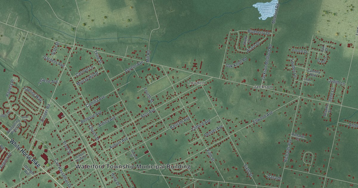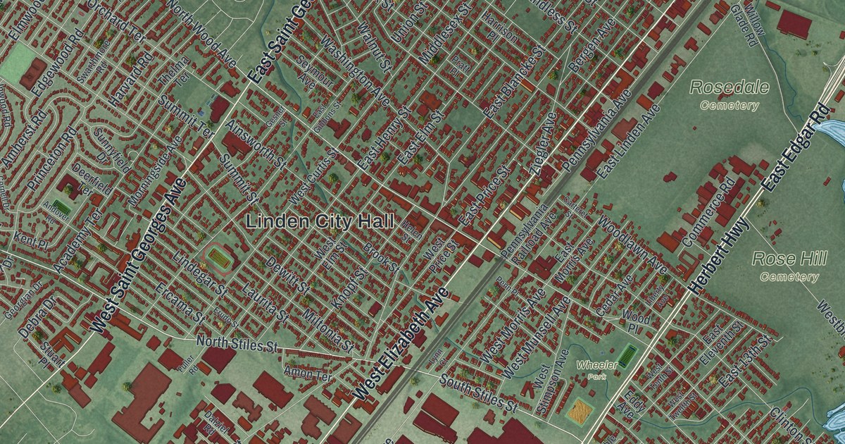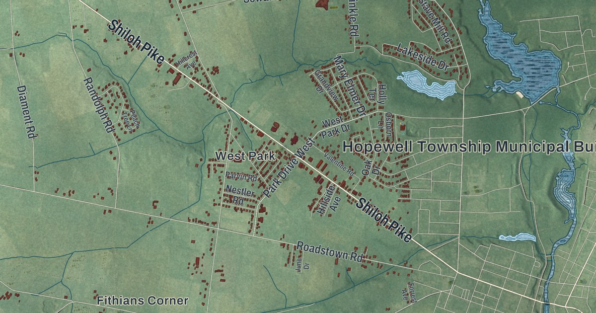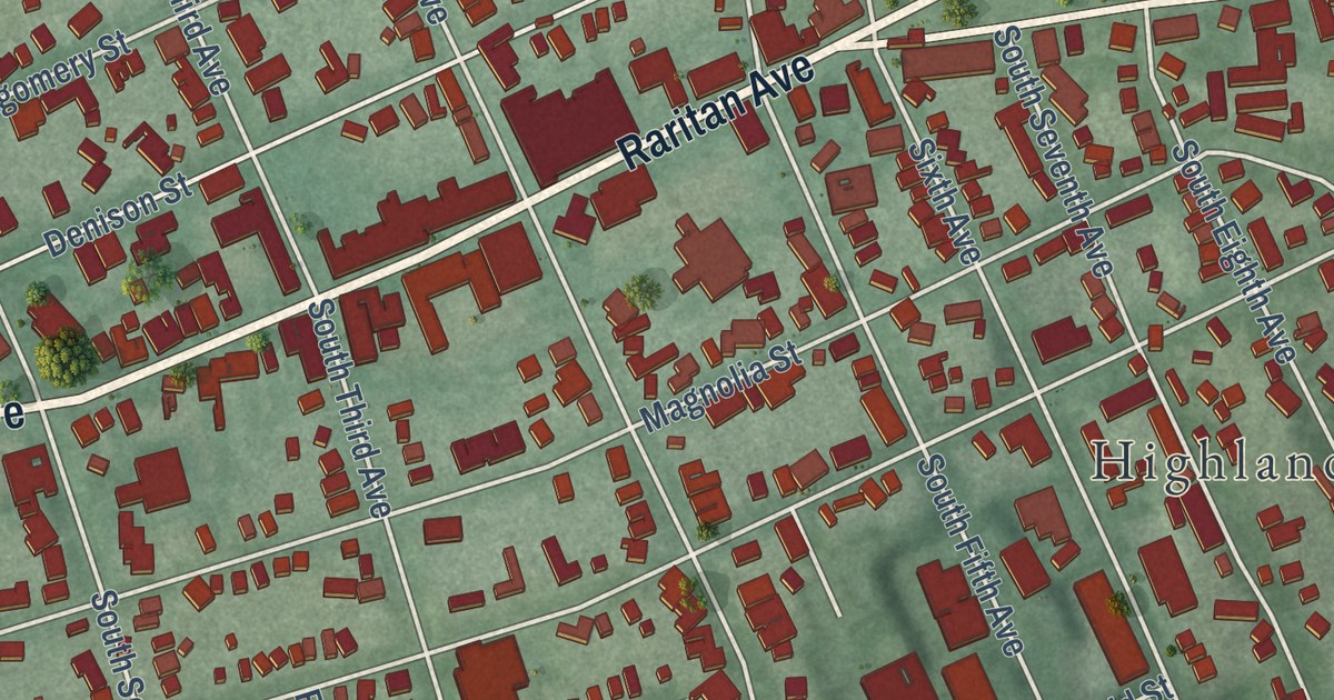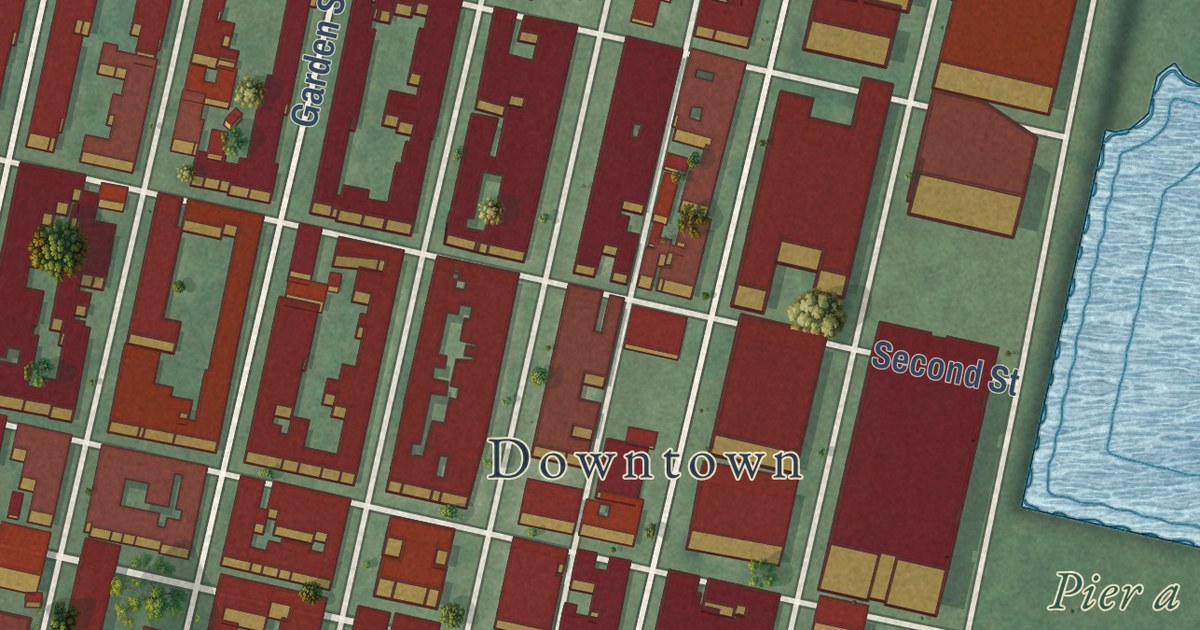
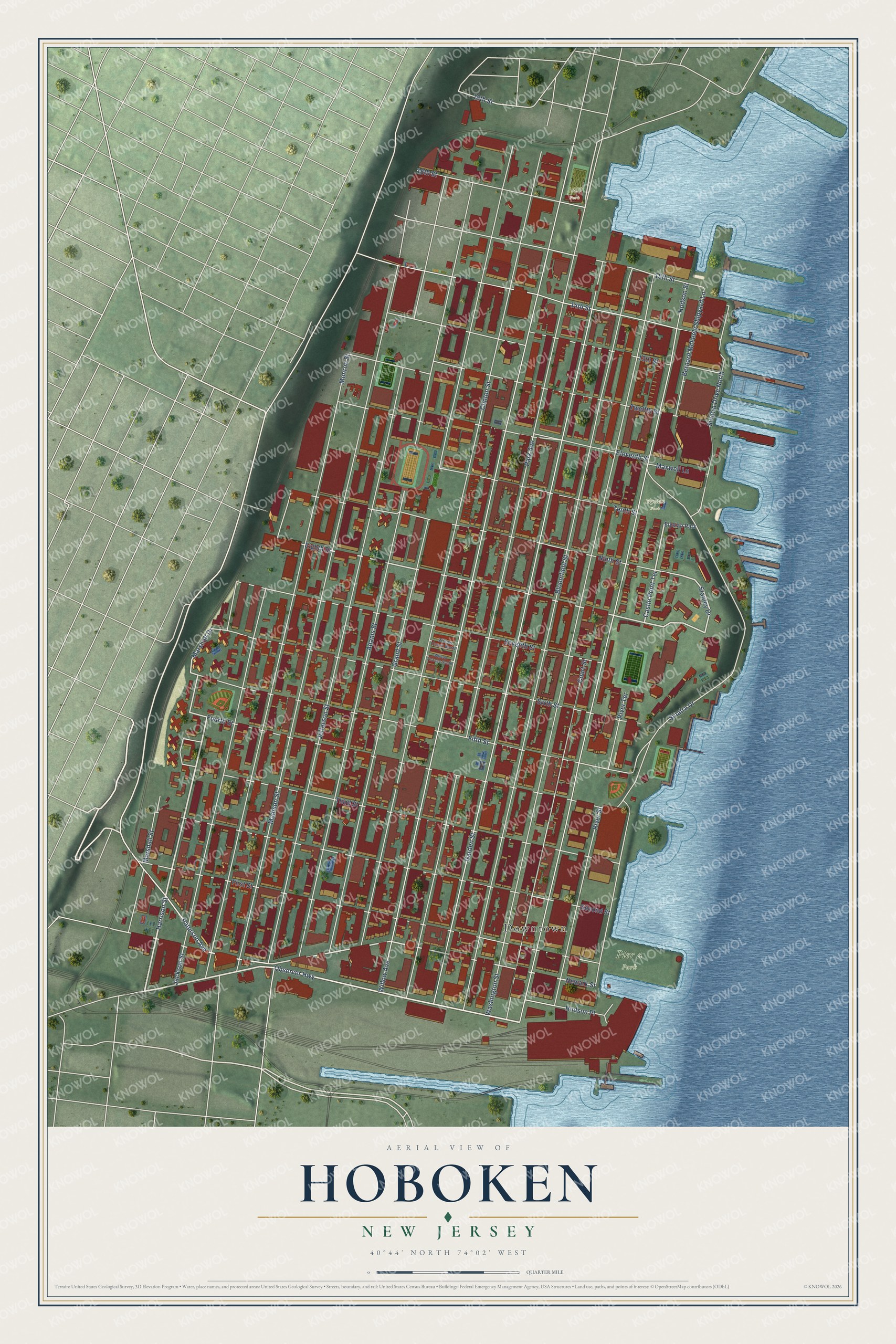
This beautifully detailed map of Hoboken, New Jersey was created in 2026 using aerial imagery combined with modern topographical, census, street and landmark data. It’s a one-of-a-kind view of Hoboken that combines accurate data with a vintage aesthetic. The map shows every building in its true location, many of the roads carry their names, and the shaded topographic relief shows the shape of the land.
Explore an aerial view of Hoboken, New Jersey
On the map you’ll find Downtown, Pier a Park, Church Square Park, Columbus Park, Elysian Park, Harborside Park, and 1600 Park, along with Newark Street, Observer Highway, Harrison Street, Stanley Drive, Eighth Street, and more. If you look closely you can even find your house accurately drawn in its correct location. Zoom in on the preview to look for yours.
Did You Know?
The first officially recorded baseball game was played in Hoboken in 1846. The Knickerbocker Club faced the New York Nine at Elysian Fields. The Knickerbockers, founded by Alexander Cartwright, had begun playing there in 1845 because Manhattan lacked good grounds.
Take a closer look at the Hoboken map
Names on this map
These names are printed on this map.
Places: Downtown, Pier a Park, Elysian Park and 1600 Park.
Streets and roads: Newark Street, Observer Highway, Harrison Street, Stanley Drive, Eighth Street, Castle Point Terrace, Marshall Drive, 18th Street, Willow Avenue, Clinton Street, Park Avenue, Madison Street.
More street names, A to Z
13th Street, 14th Street, 15th Street, 16th Street, Adams Street, Bernard McFeely Shipyard Lane, Bloomfield Street, Court Street, Eleventh Street, Fifth Street, First Street, Fourth Street, Garden Street, Grand Street, Hudson Place, Hudson Street, Jackson Street, Jefferson Street, Marshall Street, Maxwell Lane, Monroe Street, Ninth Street, Paterson Avenue, River Street, River Terrace, Second Street, Seventh Street, Sinatra Drive, Sinatra Drive North, Sixth Street, Tenth Street, Third Street, Twelfth Street, Washington Street, Willow Court North, Willow Terrace South.
See it on a wall
The Hoboken map as an 18 x 24 inch print in a black frame.

This beautifully detailed map of Hoboken makes an attractive addition to your office, library, or den, and it can even be used to teach children the geography and history of the area. It also makes a great gift for someone who left Hoboken and still calls it home. When you’re done exploring, click here to get your copy of the Hoboken map.