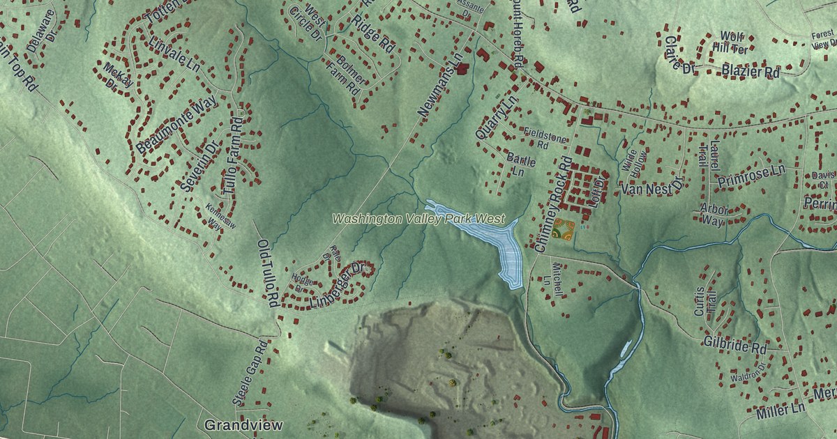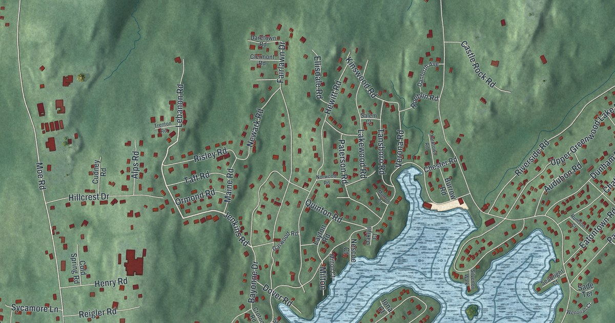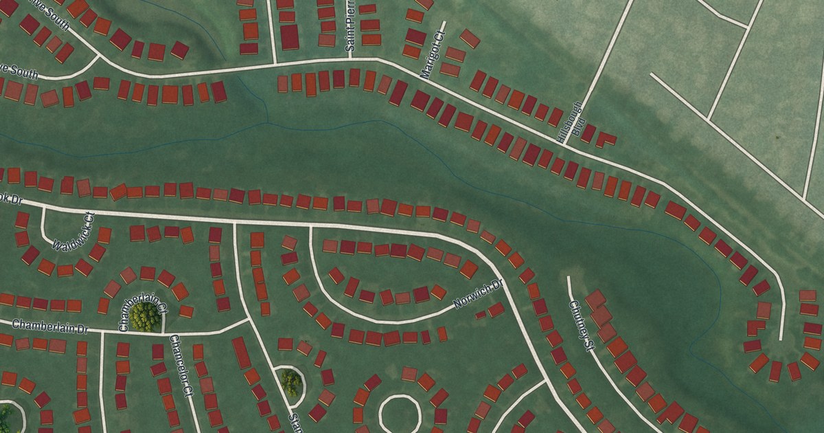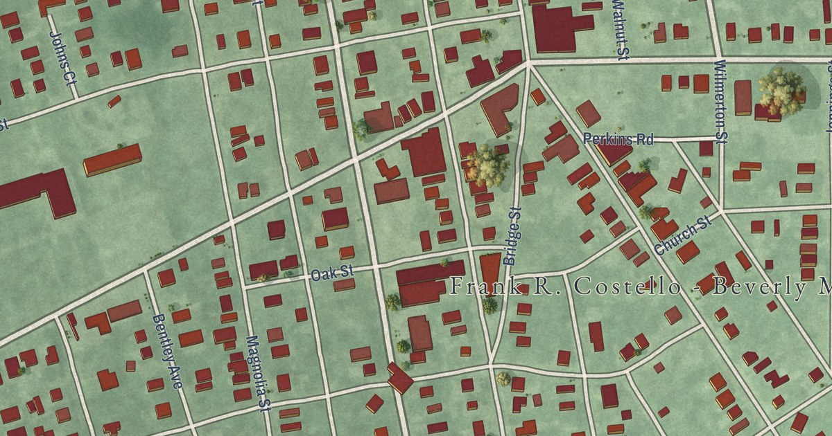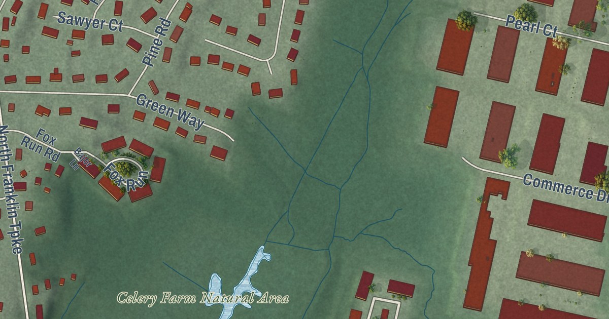
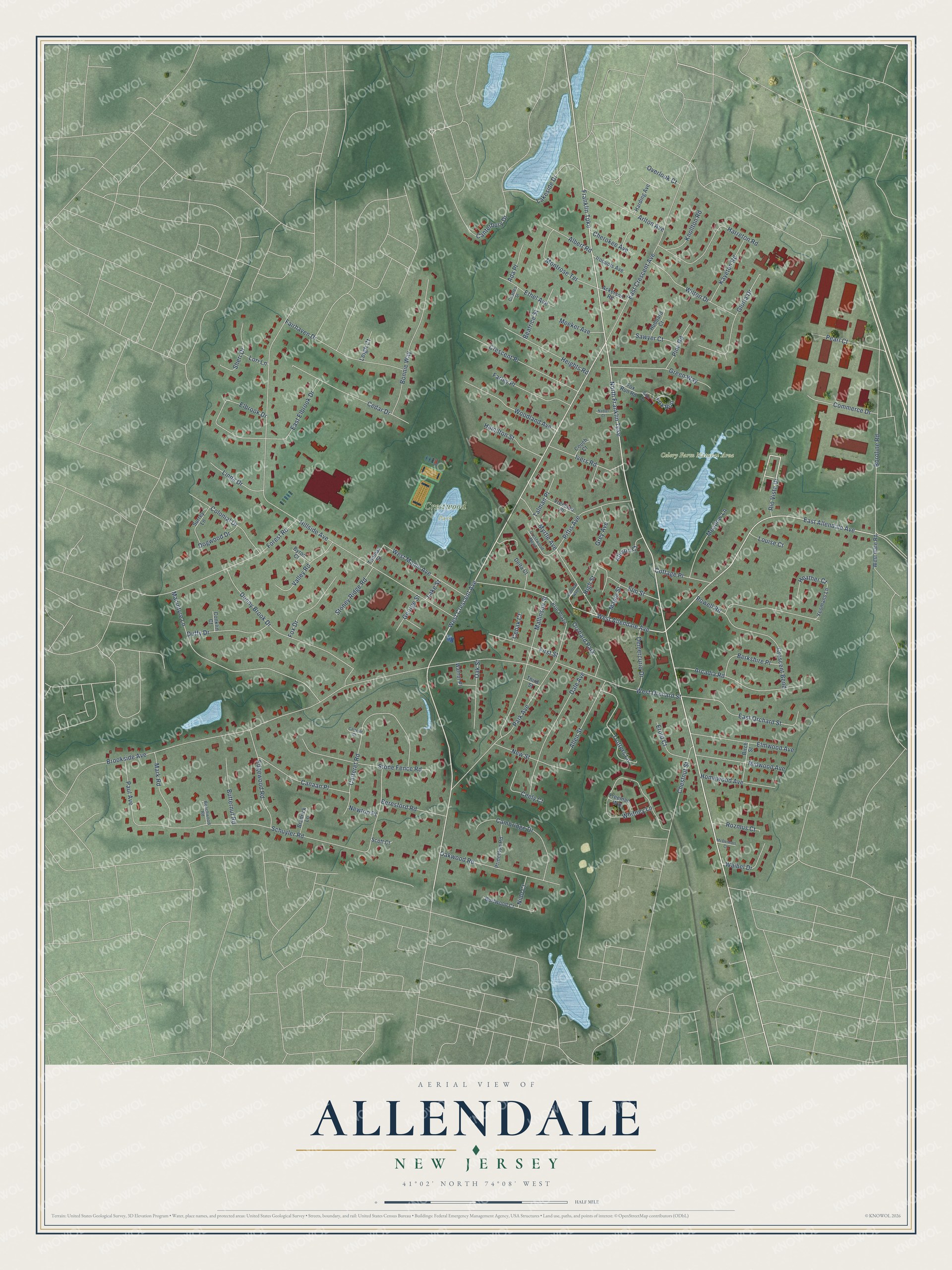
This beautifully detailed map of Allendale, New Jersey was created in 2026 using aerial imagery combined with modern topographical, census, street and landmark data. It’s a one-of-a-kind view of Allendale that combines accurate data with a vintage aesthetic. The map shows every building in its true location, many of the roads carry their names, and the shaded topographic relief shows the shape of the land.
Explore an aerial view of Allendale, New Jersey
On the map you’ll find Celery Farm Natural Area and Crestwood Park, along with West Crescent Avenue, Franklin Turnpike, East Allendale Avenue, West Allendale Avenue, Rio Vista Drive, North Franklin Turnpike, Brookside Avenue, Hillside Avenue, Schuyler Road, Macintyre Lane, and more. If you look closely you can even find your house accurately drawn in its correct location. Zoom in on the preview to look for yours.
Did You Know?
Allendale became a borough on November 8, 1894. Its name honors Joseph Warner Allen, who worked as a surveyor for the Erie Railroad. That same year, a wave of new borough forming created 26 boroughs in Bergen County alone.
Take a closer look at the Allendale map
Names on this map
These names are printed on this map.
Places: Celery Farm Natural Area, Crestwood Park and Orchard Park.
Streets and roads: West Crescent Avenue, Franklin Turnpike, East Allendale Avenue, West Allendale Avenue, Rio Vista Drive, North Franklin Turnpike, Brookside Avenue, Hillside Avenue, Schuyler Road, Macintyre Lane, Park Avenue, Boroline Road.
More street names, A to Z
Ackerson Road, Ada Place, Albert Road, Allen Street, Allison Court, Arcadia Road, Arlton Avenue, Bajor Lane, Beatrice Street, Beechwood Road, Beresford Road, Berkshire Place, Birch Street, Bonnie Way, Bradrick Lane, Burtwood Court, Butternut Road, Byron Court, Cambridge Drive, Canaan Place, Canterbury Drive, Carteret Court, Carteret Road, Cebak Court, Cedar Drive, Ceely Court, Central Avenue, Charles Street, Cherokee Avenue, Chestnut Street, Colonial Drive, Commerce Drive, Conklin Court, Cottage Place, Couch Court, Crescent Bend, Crescent Place, Crestwood Mews, Dale Avenue, Delta Court, Demercurio Drive, Dogwood Drive, Donny Brook Drive, Duffy Drive, East Crescent Avenue, East Elbrook Drive, East Orchard Street, Edgewood Road, Elbrook Drive, Elm Street, Elmwood Avenue, Erie Plaza, Erold Court, Ethel Avenue, Fairhaven Drive, Farley Place, First Street, Forest Road, Fox Drive, Fox Run, Fox Run Road, Freeman Way, George Street, Gloria Drive, Green Way, Grey Avenue, Hamilton Street, Harding Avenue, Harreton Road, Heather Court, Heights Road, High Street, Homewood Avenue, Hubbard Court, Iroquois Avenue, Ivers Road, Kayeton Road, Knollton Road, Lakeside Drive, Lake Street, Leigh Court, Linda Drive, Lori Lane, Louise Court, Mallinson Street, Maple Street, Mark Road, McDermott Court, Meadow Lane, Meeker Avenue, Midwood Avenue, Montrose Terrace, Myrtle Avenue, Nadler Court, New Street, Newton Place, Nidd Court, Oak Street, Oakwood Road, Overlook Court, Paul Avenue, Pearl Court, Pine Road, Pittis Avenue, Powell Road, Princeton Road, Rozmus Court, Sawyer Court, Scott Court, Sheri Drive, Stone Fence Road, Stoney Ridge Road, Surrey Lane, Talman Place, Third Street, Thomas Street, Trotters Lane, Valley Road, Vreeland Place, Waibel Drive, Walnut Place, West Gate Road, West Maple Avenue, West Orchard Street, Whitney Lane, Wilton Drive, Woodland Avenue, Yeomans Lane.
See it on a wall
The Allendale map as an 18 x 24 inch print in a black frame.

This beautifully detailed map of Allendale makes an attractive addition to your office, library, or den, and it can even be used to teach children the geography and history of the area. It also makes a great gift for anyone with Allendale roots. When you’re done exploring, click here to get your copy of the Allendale map.