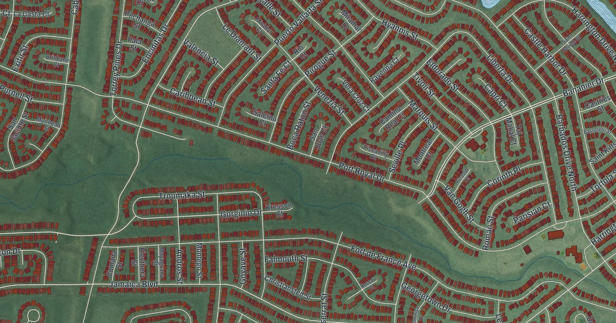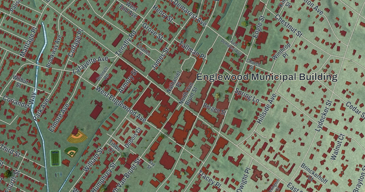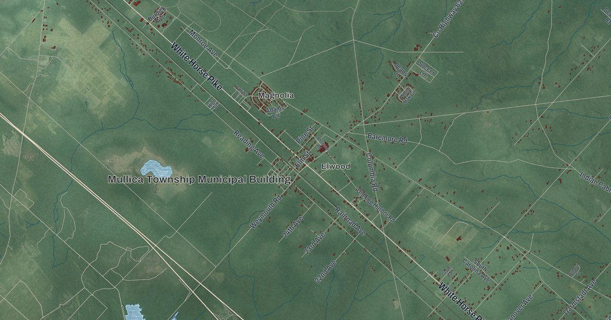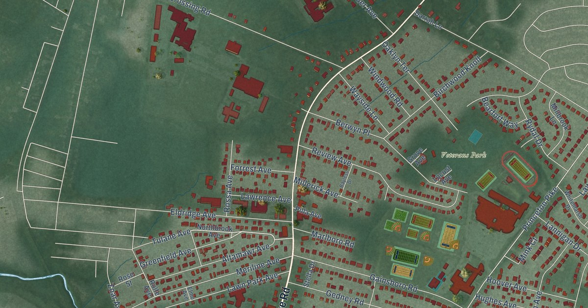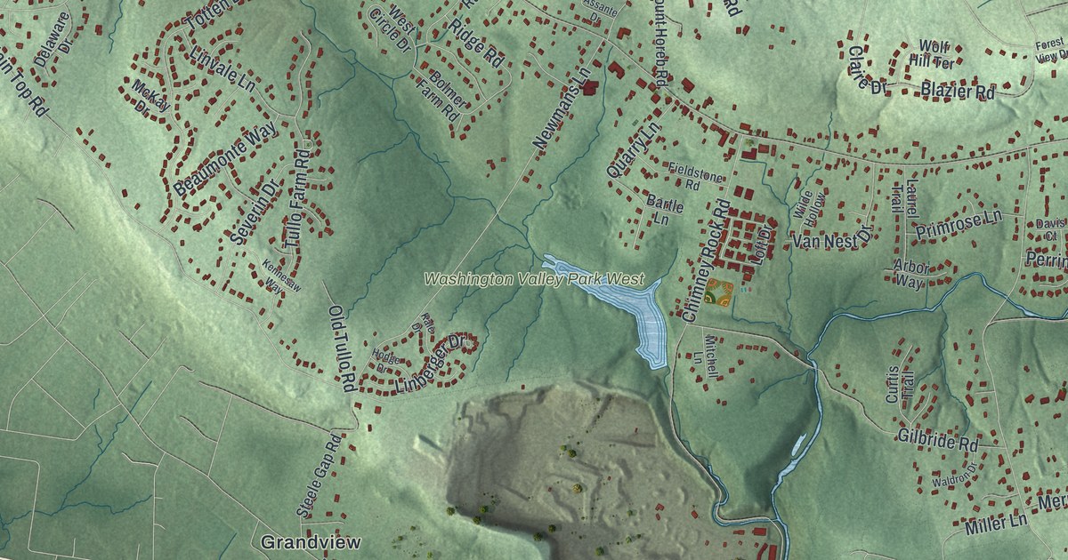
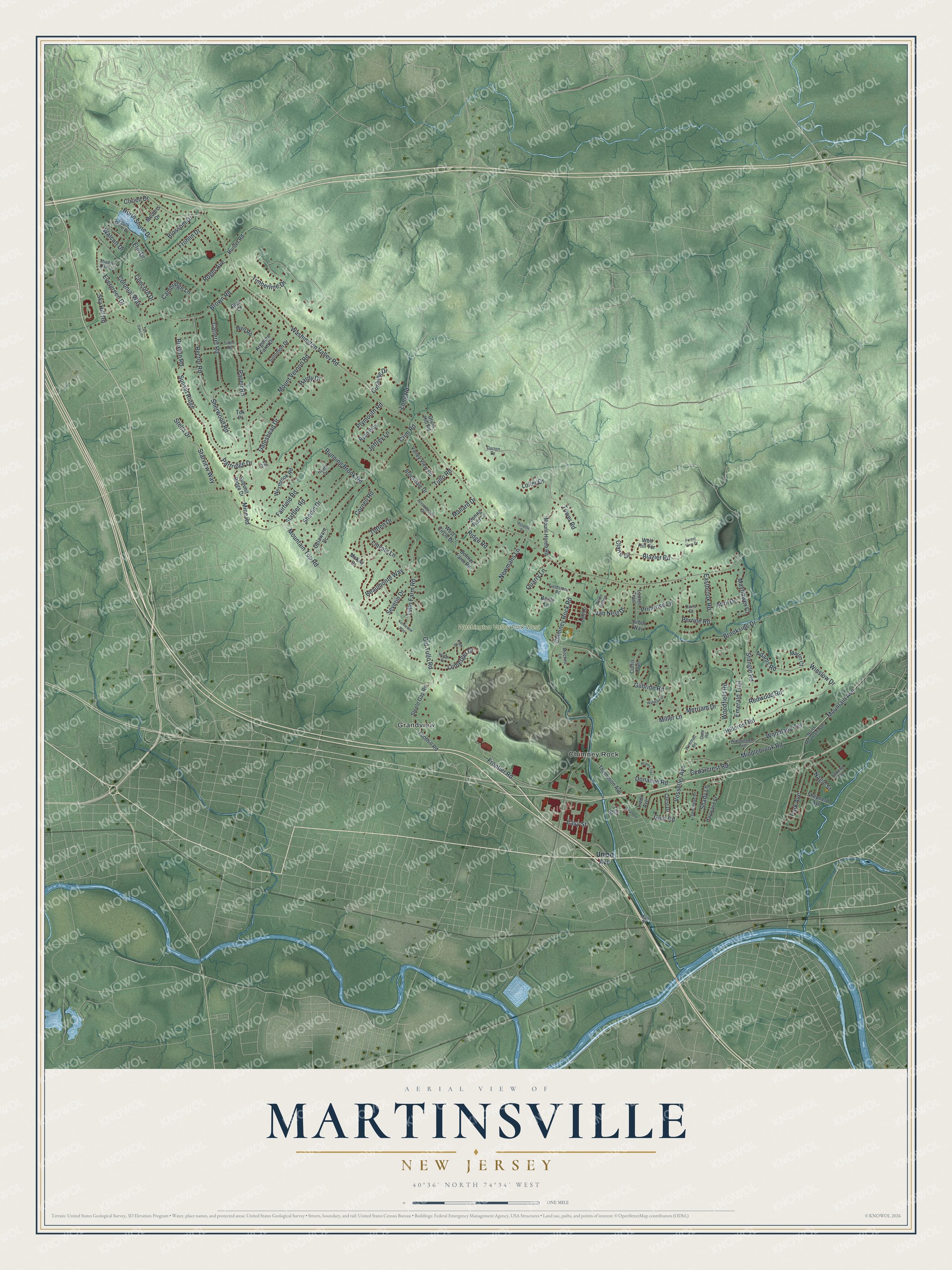
This beautifully detailed map of Martinsville, New Jersey was created in 2026 using aerial imagery combined with modern topographical, census, street and landmark data. It’s a one-of-a-kind view of Martinsville that combines accurate data with a vintage aesthetic. The map shows every building in its true location, many of the roads carry their names, and the shaded topographic relief shows the shape of the land.
Explore an aerial view of Martinsville, New Jersey
On the map you’ll find Chimney Rock, Grandview, and Washington Valley Park West, along with Union Avenue, Chimney Rock Road, Mountain Top Road, Vosseller Avenue, Papen Road, and more. If you look closely you can even find your house accurately drawn in its correct location. Zoom in on the preview to look for yours.
Did You Know?
The Continental Army camped at Middlebrook, near Martinsville, during the Revolutionary War. The camp sat on a ridge of the First Watchung Mountains, a natural fortress above the plains toward New Brunswick. By tradition, the first official American flag was raised there. A 13-star flag now flies day and night at the Washington Camp Ground.
Take a closer look at the Martinsville map
Names on this map
These names are printed on this map.
Places: Washington Valley Park West, Chimney Rock and Grandview.
Streets and roads: Washington Valley Road, Chimney Rock Road, Mountain Top Road, Vosseller Avenue, Papen Road, Crim Road, Brown Road, Hillcrest Road, Mountain Avenue, Newmans Lane, Running Brook Road, Gilbride Road.
More street names, A to Z
Adams Road, April Drive, Arbor Way, Argonne Farm Drive, Arrowbrook Drive, Assante Drive, Bartle Lane, Beaumonte Way, Blair Court, Blazier Road, Blossom Drive, Bolmer Farm Road, Brookdale Drive, Brookside Drive, Buxton Road, Cambridge Lane, Carteret Road, Cedarcrest Road, Claire Drive, Colonial Way, Concord Drive, Coriell Drive, Cornell Road, Crest Drive, Curtis Trail, Cushing Drive, Darren Drive, Davis Court, Deerhead Drive, Delaware Drive, Donahue Road, Drum Hill Road, Eastbrook Road, Easy Street, Elm Drive, Emerald Trail, Evergreen Drive, Fairfield Road, Fieldstone Road, Foothill Road, Forest View Drive, Frohlin Drive, Frontier Road, Gate Road, Gateshead Drive, Glen Road, Hardy Drive, Hayward Street, Heath Drive, Hodge Drive, Hunter Road, Jeffrey Lane, Kale Drive, Kennesaw Way, Krams Trail, Laurel Trail, Liedl Avenue, Linberger Drive, Linvale Lane, Loft Drive, Loller Drive, Long Road, Main Street, Mallard Drive, Martin Court, Mayflower Court, McKay Drive, Meiners Drive, Merriam Drive, Middlebrook Road, Miller Lane, Mine Road, Mitchell Lane, Mount Horeb Road, Mount Vernon Road, Nagle Street, North Mountain Avenue, North Shore Drive, Old Tullo Road, Park Avenue, Partridge Drive, Perrine Road, Plymouth Road, Primrose Lane, Quarry Lane, Rector Road, Redwood Road, Ridge Road, Roger Avenue, Ryan Way, Sebring Avenue, Severin Drive, Shadow Oak Lane, Shady Lane, Shepherd Avenue, Sherlin Drive, Sherwood Road, Sky Hill Road, Solomon Drive, South Shore Drive, Spring Run Lane, Staffler Road, Stangle Road, Starview Way, Steele Gap Road, Stella Drive, Stratford Place, Summit Ridge Drive, Sunset Ridge, Tall Oaks Drive, Tea Street, Thompson Avenue, Tilton Road, Timberline Drive, Tok Place, Totten Drive, Tower Road, Tullo Farm Road, Tullo Road, Union Avenue, Vail Court, Valley View Road, Van Nest Drive, Walcutt Drive, Waldron Drive, Washington Avenue, Weemac Road, Well Road, Westbrook Road, West Circle Drive, Wilde Hollow, Winslow Drive, Wolf Hill Terrace, Woodfield Road, Woodland Terrace.
See it on a wall
The Martinsville map as an 18 x 24 inch print in a black frame.

This beautifully detailed map of Martinsville makes an attractive addition to your office, library, or den, and it can even be used to teach children the geography and history of the area. It also makes a great gift for someone who left Martinsville and still calls it home. When you’re done exploring, click here to get your copy of the Martinsville map.