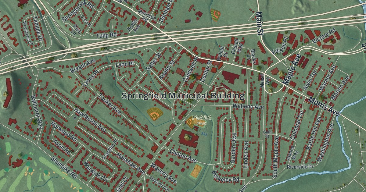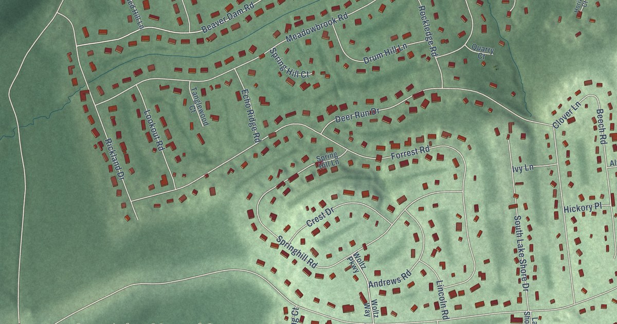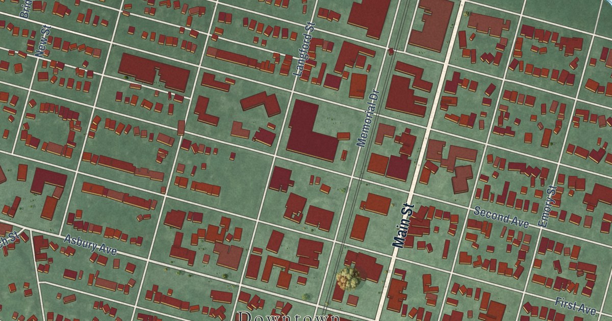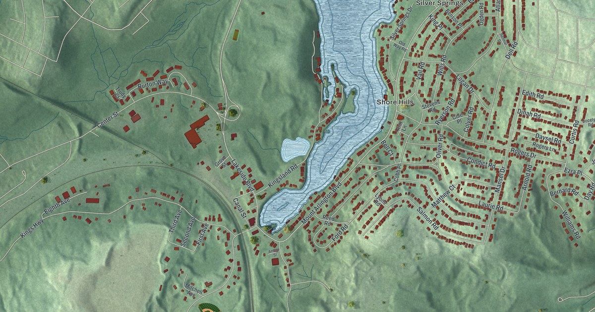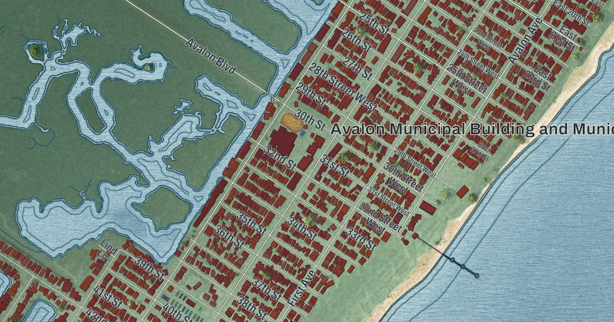
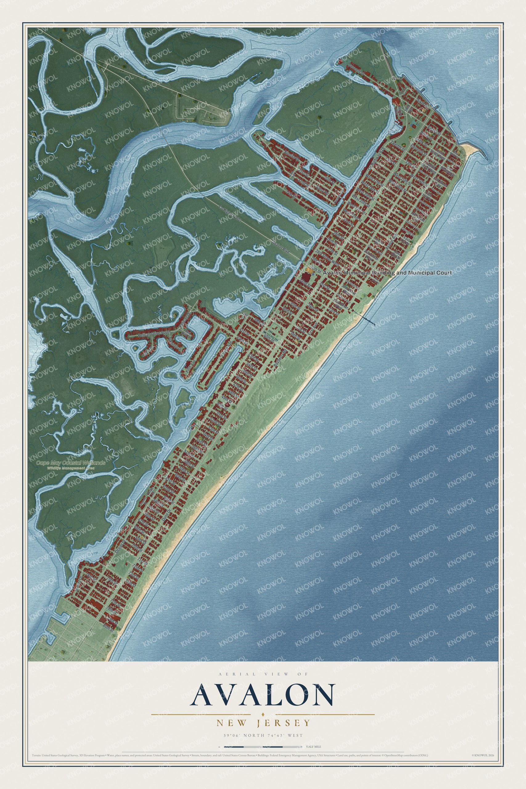
This beautifully detailed map of Avalon, New Jersey was created in 2026 using aerial imagery combined with modern topographical, census, street and landmark data. It’s a one-of-a-kind view of Avalon that combines accurate data with a vintage aesthetic. The map shows every building in its true location, many of the roads carry their names, and the shaded topographic relief shows the shape of the land.
Explore an aerial view of Avalon, New Jersey
On the map you’ll find Cape May Coastal Wetlands Wildlife Management Area, along with Avalon Municipal Building and Municipal Court, 21st Street, 22nd Street, 25th Street, Avalon Avenue, Dune Drive, First Avenue, County Highway 619, Ocean Drive, Avalon Boulevard, County Highway 601, and more. If you look closely you can even find your house accurately drawn in its correct location. Zoom in on the preview to look for yours.
Did You Know?
The borough takes its name from Avalon in the legends of King Arthur. The Seven Mile Beach company formed in 1887, and the town was advertised as a resort by 1893. Builders cut the native juniper forest and leveled the sandy hills, which left the island mostly flat.
Take a closer look at the Avalon map
Names on this map
These names are printed on this map.
Places: Avalon Municipal Building and Municipal Court and Cape May Coastal Wetlands Wildlife Management Area.
Streets and roads: 21st Street, 22nd Street, 25th Street, Avalon Avenue, Dune Drive, First Avenue, County Highway 619, Ocean Drive, Avalon Boulevard, County Highway 601, Seventh Street, Fourth Avenue.
More street names, A to Z
13th Street, 13th Street East, 14th Street, 16th Street East, 18th Street East, 19th Street East, 20th Street, 23rd Street, 23rd Street West, 24th Street, 24th Street West, 25th Street West, 26th Street, 27th Street, 28th Street West, 29th Street, 29th Street West, 30th Street, 30th Street West, 31st Street, 31st Street West, 32nd Street, 32nd Street West, 33rd Street, 34th Street, 35th Street, 36th Street, 37th Street, 38th Street, 39th Street, 40th Street, 41st Street, 42nd Street, 43rd Street, 44th Street, 45th Street, 46th Street, 47th Street, 48th Street, 49th Street, 50th Street, 51st Street, 52nd Street, 53rd Street, 54th Street, 55th Street, 56th Street, 57th Street, 58th Street, 59th Street, 60th Street, 61st Street, 62nd Street, 63rd Street, 64th Street, 65th Street, 66th Street, 67th Street, 68th Street, 69th Street, 70th Street, 71st Street, 72nd Street, 73rd Street, 74th Street, 75th Street, 76th Street, 77th Street, 78th Street, 79th Street, 80th Street, Barry Road, Bayberry Road, East 14th Street, East 15th Street, East 17th Street, East 20th Street, East 21st Street, East 23rd Street, East 27th Street, East Eleventh Street, East Ninth Street, East Tenth Street, Eighth Street, Eleventh Street, Fifth Avenue, Flamingo Drive, Greenan Road, Harbor Avenue, Heron Cv, Heron Drive, Inlet Drive East, Lind Lane, Marine Way, Ninth Street, Pelican Drive, Pelican Drive South, Sea Gull Drive, Sixth Avenue, Sixth Street, Sunrise Drive, Sunset Drive, Tenth Street, Tenth Street West, Third Avenue, Twelfth Street, Twelfth Street West, West 13th Street, West 14th Street, West 15th Street, West 16th Street, West 17th Street, West 18th Street, West 19th Street, West 20th Street, West 21st Street, West 22nd Street.
See it on a wall
The Avalon map as an 18 x 24 inch print in a black frame.

This beautifully detailed map of Avalon makes an attractive addition to your office, library, or den, and it can even be used to teach children the geography and history of the area. It also makes a great gift for anyone who grew up in Avalon or moved away. When you’re done exploring, click here to get your copy of the Avalon map.