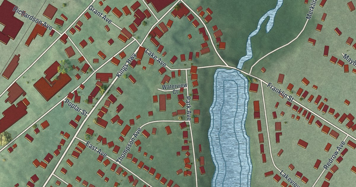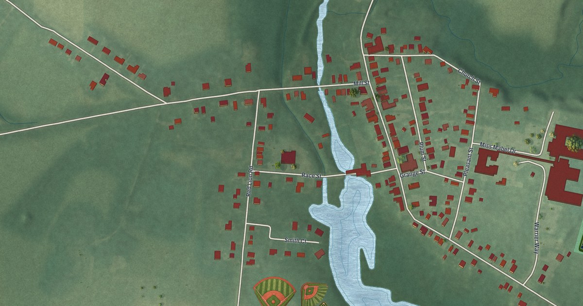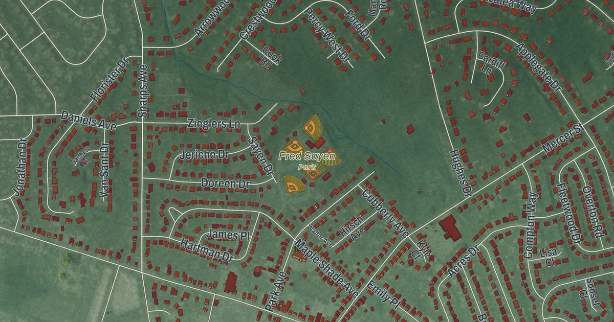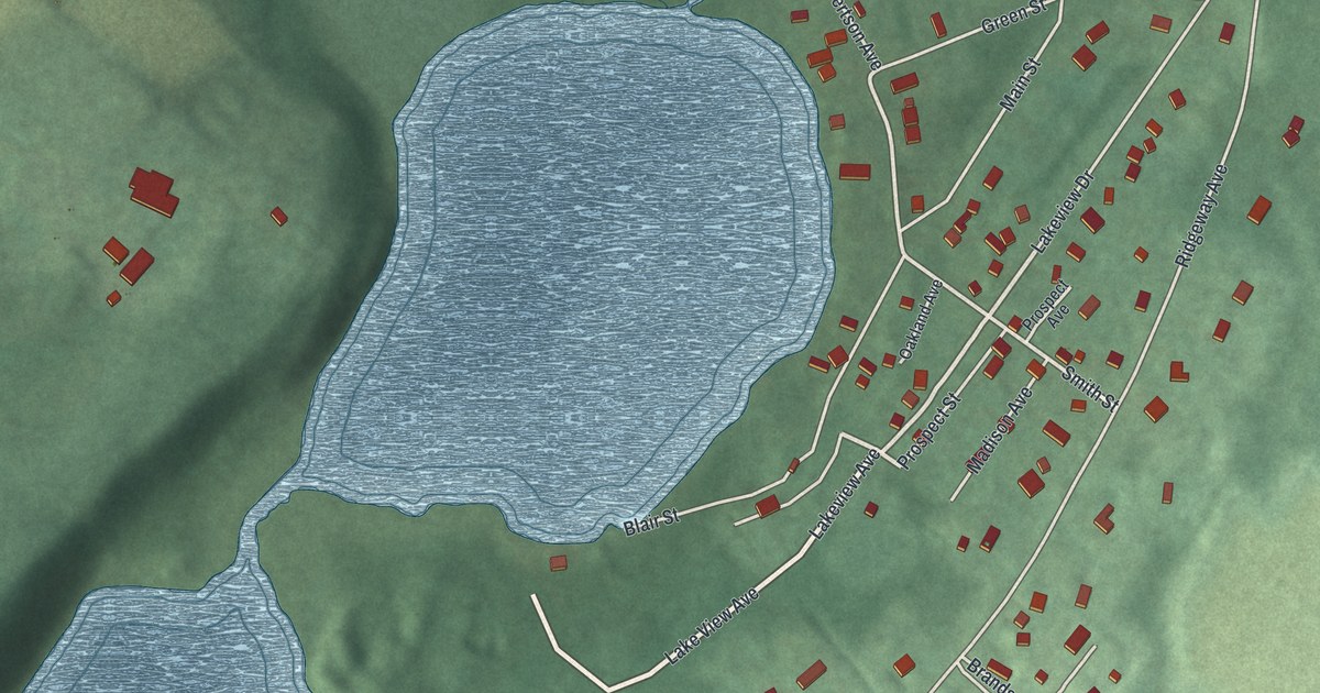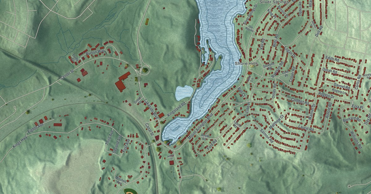
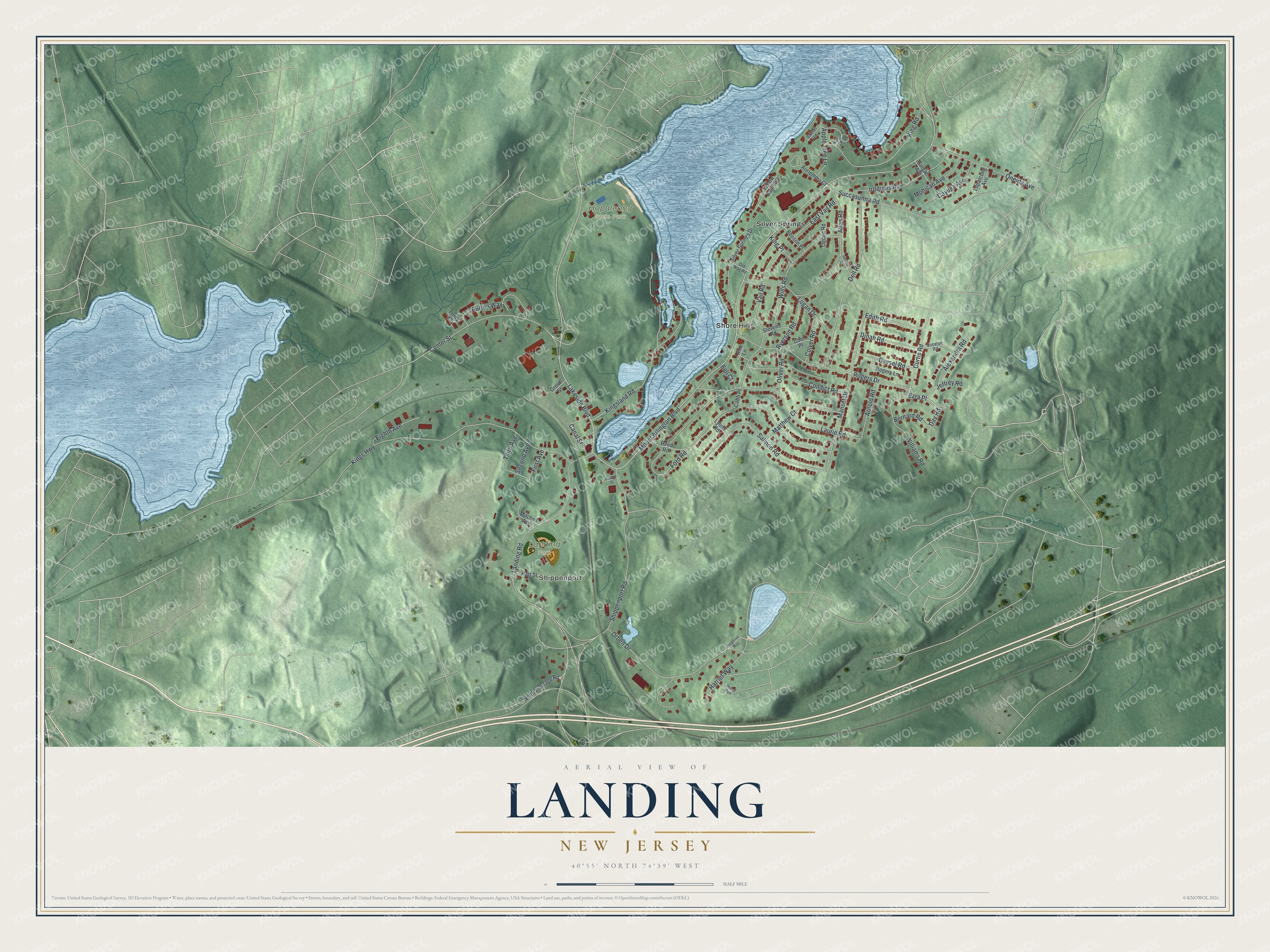
This beautifully detailed map of Landing, New Jersey was created in 2026 using aerial imagery combined with modern topographical, census, street and landmark data. It's a modern aerial view of Landing in Morris County, New Jersey, that combines modern data with a vintage aesthetic. The roads feature printed names, and if you look closely you can find your exact house accurately shown in its correct location.
Explore an aerial view of Landing, New Jersey
On this map you'll find Shippenport, Hopatcong State Park, Landing Park, Silver Springs, Shore Hills, Ezra Place, Day Road, Mount Arlington Boulevard, Lakeside Boulevard, Landing Road, Kings Highway, Vail Road, and more. Each red shape is a building, so zoom in on the preview and look for yours.
Landing is a community in Morris County. The Census Bureau counted 4,296 people here in 2020. Landing sits about 2 miles north of Ledgewood, 2 miles east of Netcong and 2 miles east of Stanhope. The map prints the town name in its title panel, with the coordinates below it.
Take a closer look at the Landing map
Names on this map
These names are printed on this map.
Places: Shippenport, Hopatcong State Park, Landing Park, Silver Springs and Shore Hills.
Streets and roads: Ezra Place, Day Road, Mount Arlington Boulevard, Lakeside Boulevard, Landing Road, Kings Highway, Vail Road, Ford Road, Shippenport Road, Orben Drive, Kingsland Road, Rogers Drive.
More street names, A to Z
Alexandra Road, Amboy Street, Ann Lane, Apple Tree Lane, Arnold Road, Atlas Road, Auriemma Court, Beech Path, Bell Court, Benson Place, Bernard Road, Burton Way, Canal Street, Cayuga Avenue, Center Street, Cobb Place, Cole Place, Colver Road, Condict Road, Curtis Road, Davsel Road, Dell Road, Dinah Road, East Vail Road, Edith Road, Eighth Avenue, First Avenue, Grove Street, Harriet Way, Hart Street, Henmar Drive, Iroquois Avenue, Jeffrey Road, Jocelyn Road, King Lane, King Place, King Road, Laurie Road, Logan Drive, Lopatcong Avenue, Lyons Road, Mansel Drive, Matthew Court, Mitchell Avenue, Mohican Avenue, North Frontage Road, Ogden Road, Old Way Road, Oliver Road, Oneida Avenue, Reed Road, Rogerine Way, Rogers Lane, Ryerson Road, Salmon Road, Second Avenue, Silver Springs Drive, Singac Avenue, Stevens Road, Succasunna Road, Sunset Lane, Third Avenue, Trudy Court, Williams Road, Wills Road, Yellow Barn Avenue.
See it on a wall
The Landing map as a framed print. Swipe for more.


Created by KNOWOL in 2026. The buildings are small red shapes, the roads carry their printed names, and shaded relief shows the shape of the land. The title panel reads "AERIAL VIEW OF LANDING, NEW JERSEY" with 40°55' NORTH 74°39' WEST.
It suits a den, a classroom or a front hall, and it makes a gift for anyone with Landing roots. Open the preview and find the block you know. See sizes and frames for the Landing map.