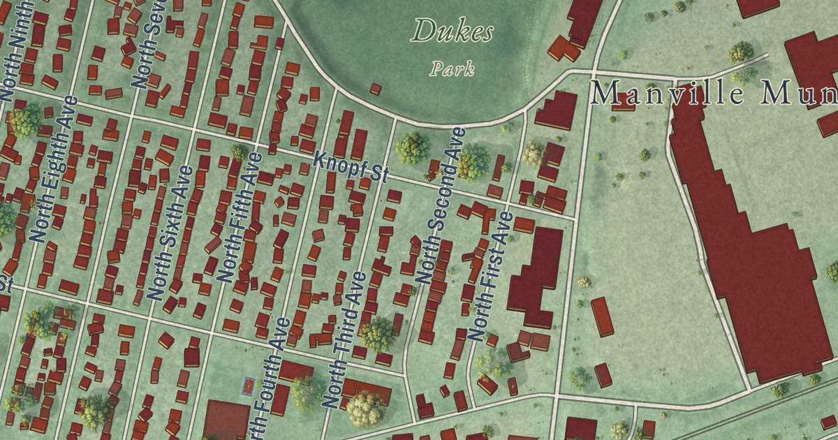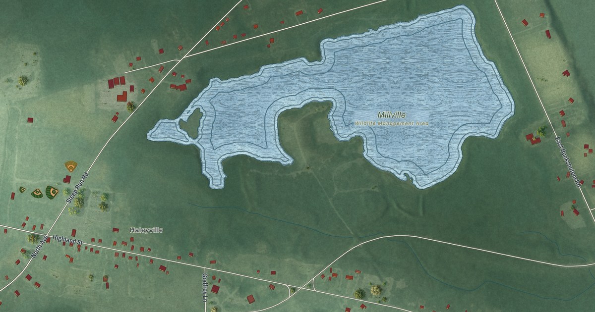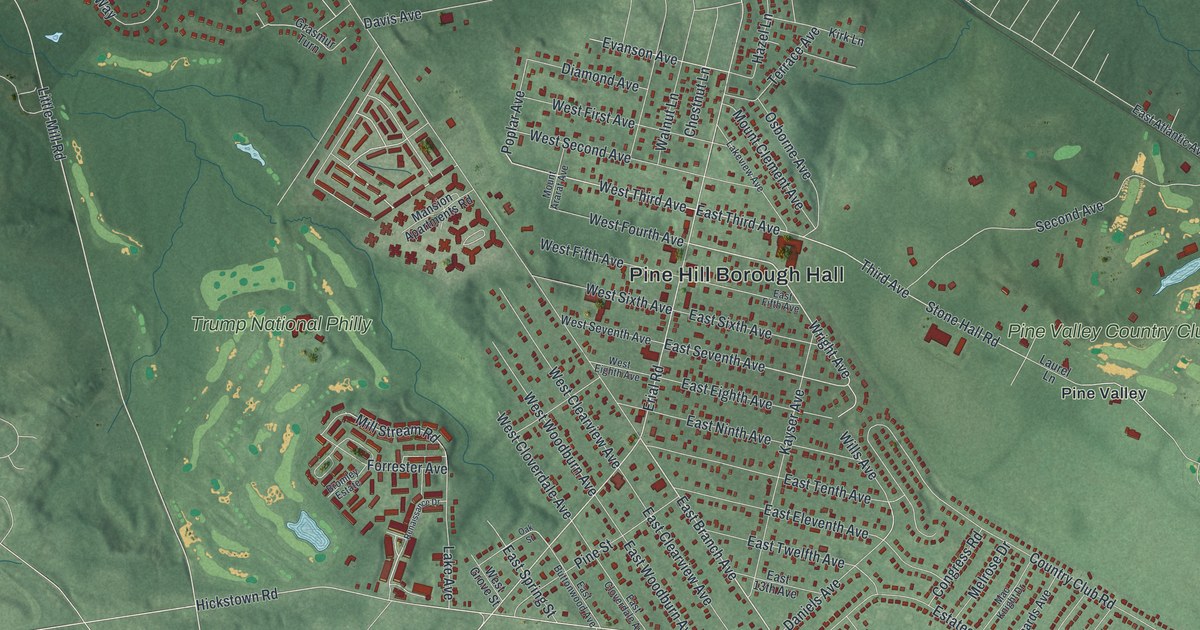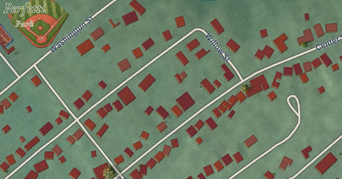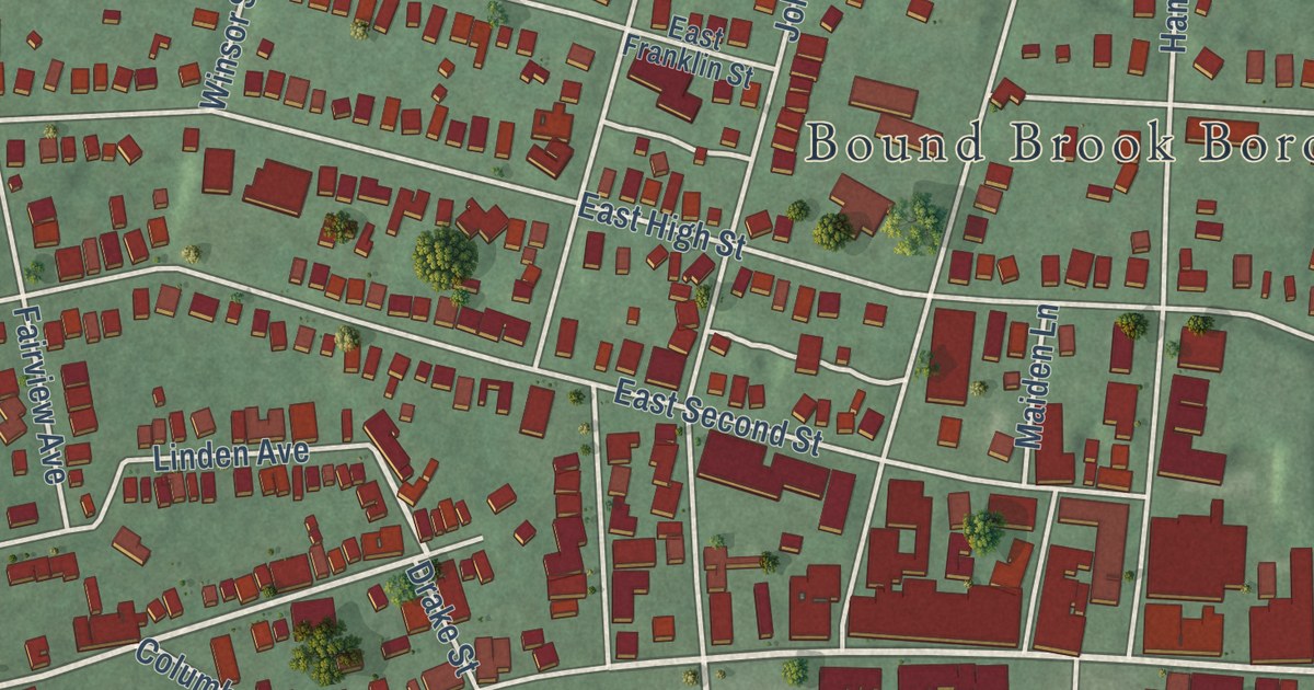
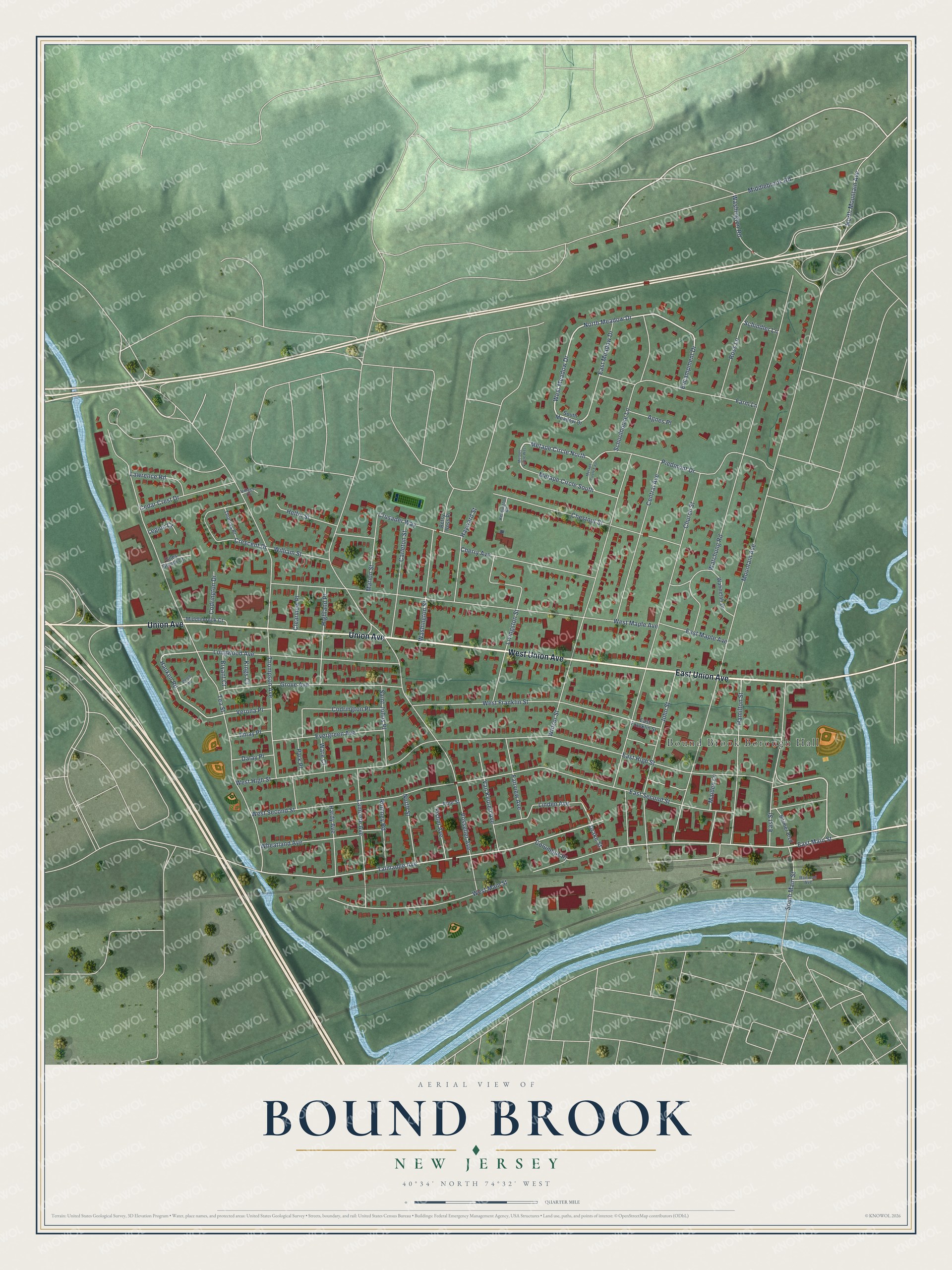
This beautifully detailed map of Bound Brook, New Jersey was created in 2026 using aerial imagery combined with modern topographical, census, street and landmark data. It’s a one-of-a-kind view of Bound Brook that combines accurate data with a vintage aesthetic. The map shows every building in its true location, many of the roads carry their names, and the shaded topographic relief shows the shape of the land.
Explore an aerial view of Bound Brook, New Jersey
On the map you’ll find Bound Brook Borough Hall and Billian Legion Park, along with East Union Avenue, West Union Avenue, Union Avenue, North Meadow Drive, West Meadow Drive, Metape Circle North, East High Street, East Main Street, Talmadge Avenue, Hanken Road, and more. If you look closely you can even find your house accurately drawn in its correct location. Zoom in on the preview to look for yours.
Did You Know?
Settlers first came to the area in 1681 and built a community beside the Bound Brook stream. The borough took its name from that stream. A Native American deed had used the brook to mark a boundary line.
Take a closer look at the Bound Brook map
Names on this map
These names are printed on this map.
Places: Bound Brook Borough Hall.
Streets and roads: East Union Avenue, West Union Avenue, Union Avenue, North Meadow Drive, West Meadow Drive, Metape Circle North, East High Street, East Main Street, Talmadge Avenue, Hanken Road, Drake Street, Mountain Avenue.
More street names, A to Z
Agnes Place, Betsy Ross Place, Bolmer Boulevard, Bryant Court, Carleton Street, Cedar Crest Drive, Central Avenue, Cherry Avenue, Chestnut Street, Church Street, Clearview Place, Codrington Drive, Codrington Place, Columbus Place, Crescent Drive, Crusader Way, Dalay Place, East Franklin Street, East Maple Avenue, East Meadow Drive, East Second Street, East Street, Encampment Drive, Evergreen Avenue, Fairview Avenue, Farm Lane, Fisher Avenue, Giles Biondi Court, Grove Avenue, Hamilton Street, Hardy Avenue, Hayward Street, Helfin Street, Highland Place, Imlay Place, John Street, Kensington Road, Kings Court, Lamonte Avenue, Lawrence Road, Legion Court, Linden Avenue, Livingston Street, Longwood Avenue, Maiden Lane, Marion Street, Metape Circle East, Metape Circle South, Metape Circle West, Middlebrook Court, Middlebrook Road, North Mountain Avenue, North Street, Park Place, Piedmont Drive, Pine Street, Railroad Avenue, Romney Road, Ross Lane, Saint Johns Place, Schindler Lane, Schoolhouse Lane, South Main Street, South Meadow Drive, Tea Street, Thomas Place, Thompson Avenue, Van Keuren Avenue, Verona Place, Village Court, Vosseller Avenue, Wahnetah Drive, Ware Court, Washington Road, Washington Street, Watchung Road, Welch Road, West Franklin Street, West High Street, West Main Street, West Maple Avenue, West Second Street, Wheatland Avenue, William Street, Winsor Street.
See it on a wall
The Bound Brook map as an 18 x 24 inch print in a black frame.

This beautifully detailed map of Bound Brook makes an attractive addition to your office, library, or den, and it can even be used to teach children the geography and history of the area. It also makes a great gift for anyone with Bound Brook roots. When you’re done exploring, click here to get your copy of the Bound Brook map.