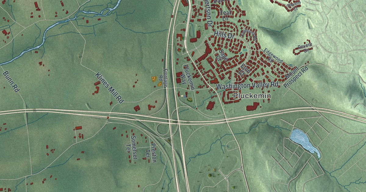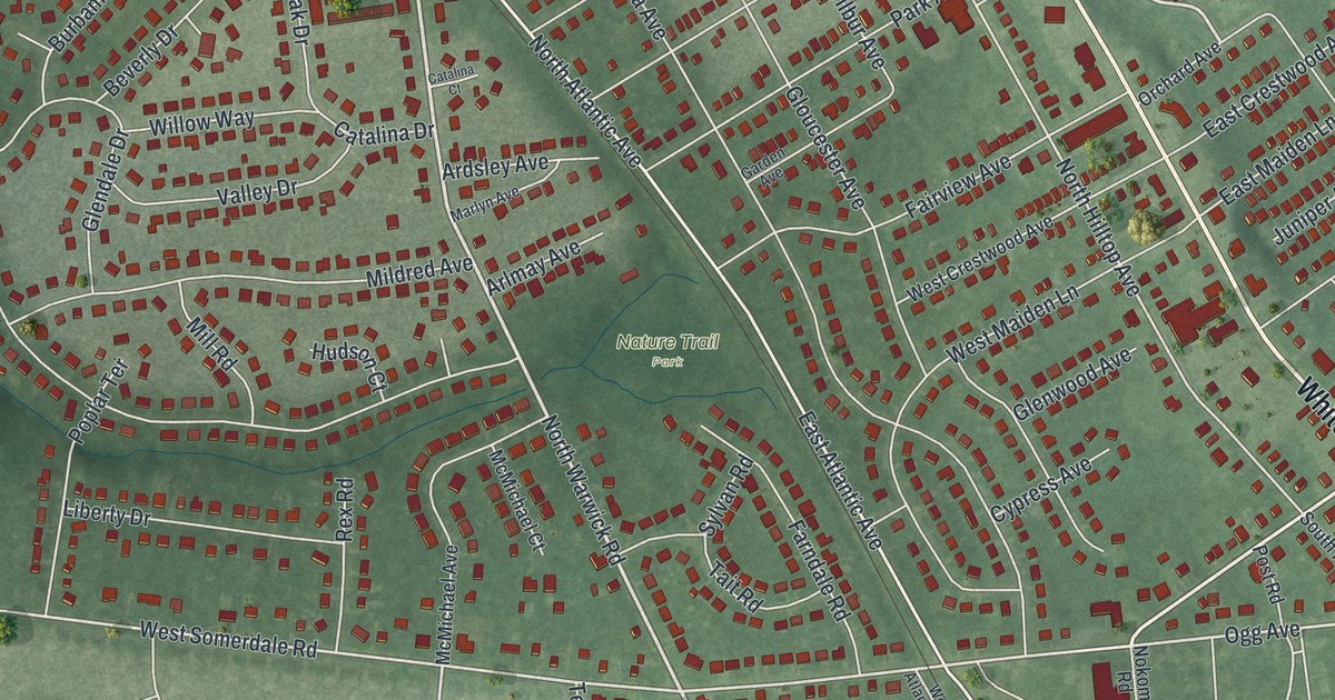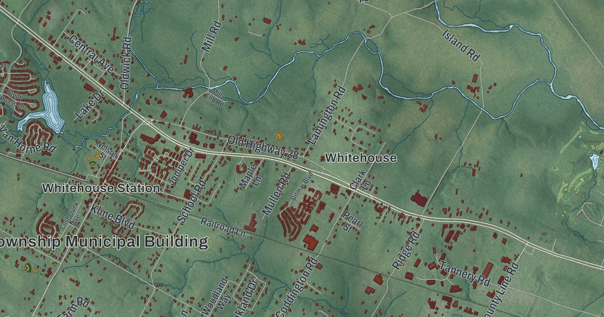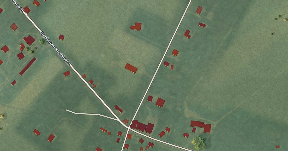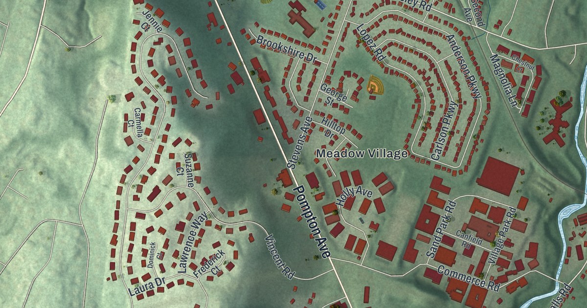
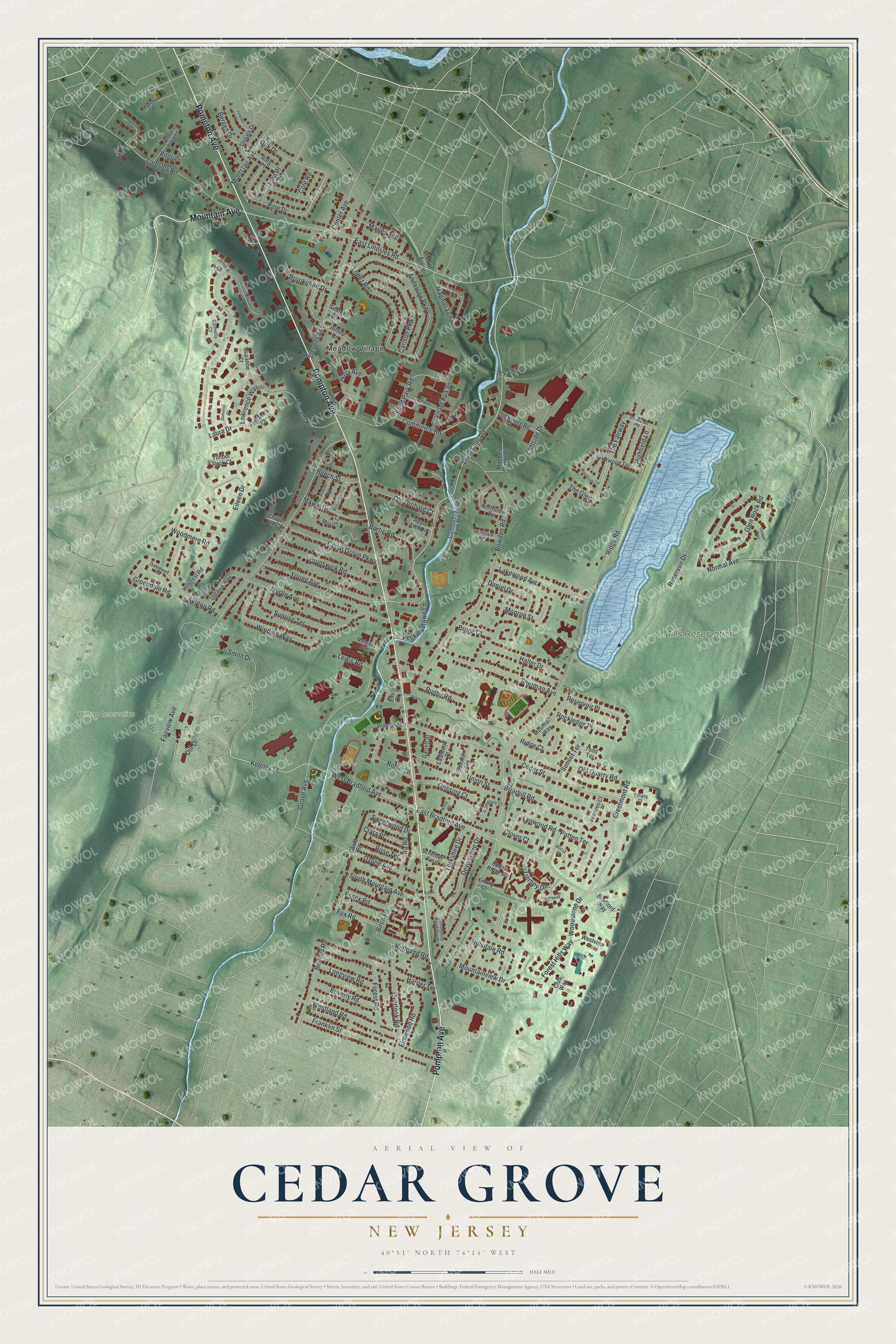
This beautifully detailed map of Cedar Grove, New Jersey was created in 2026 using aerial imagery combined with modern topographical, census, street and landmark data. It’s a one-of-a-kind view of Cedar Grove that combines accurate data with a vintage aesthetic. The map shows every building in its true location, many of the roads carry their names, and the shaded topographic relief shows the shape of the land.
Explore an aerial view of Cedar Grove, New Jersey
On the map you’ll find Hilltop Reservation, Mills Reservation, and Meadow Village, along with Pompton Avenue, Mountain Avenue, Oak Drive, Keeney Street, Little Falls Road, East Lindsley Road, East Bradford Avenue, Sherman Avenue, West Bradford Avenue, and more. If you look closely you can even find your house accurately drawn in its correct location. Zoom in on the preview to look for yours.
Did You Know?
The township was first created in 1892 under the name Verona. A 1907 vote split off part of it to form Verona borough. The rest took the name Cedar Grove in 1908. The name came from the eastern red cedars that once covered its valley and hills.
Take a closer look at the Cedar Grove map
Names on this map
These names are printed on this map.
Places: Hilltop Reservation, Mills Reservation and Meadow Village.
Streets and roads: Pompton Avenue, Mountain Avenue, Oak Drive, Keeney Street, Little Falls Road, East Lindsley Road, East Bradford Avenue, Sherman Avenue, West Bradford Avenue, Dill Drive, The Fairway, Reservoir Place.
More street names, A to Z
Alicia Court, Anderson Parkway, Apple Tree Lane, Beech Street, Bentley Road, Bergen Drive, Beverly Road, Birch Road, Bortic Road, Bowden Road, Bradford Way, Briarhill Road, Briarwood Terrace, Brookdale Avenue, Brookshire Drive, Brookside Terrace, Bruce Court, Brunswick Road, Canfield Road, Carlson Parkway, Carmella Court, Catherine Court, Cedar Grove Parkway, Cedar Ridge Drive, Cedar Street, Center Avenue, Chapel Hill Court, Chestnut Court, Clara Place, Cliffside Drive, Clover Court, Club Way, Cole Road, Commerce Road, Community Park Road, Crestmont Road, Dalewood Road, Daniel Drive, David Road, Devonshire Drive, Devonshire Road South, Dogwood Court, Dominick Court, Donato Drive, Eastwood Place, Eaton Place, Eileen Drive, Elm Drive, Elmwood Road, Emory Court, Essex Road, Fairview Avenue, Forest Hills Way, Forest Road, Fox Road, Frances Court, Franklin Street, Frederick Court, Garrett Street, George Street, Glen Rock Road, Greendale Road, Grissing Court, Grove Avenue, Haller Drive, Harper Terrace, Highfield Lane, Highland Road, Highpoint, Highview Terrace, Hillcrest Road, Hillsdale Road, Hillside Avenue, Hilltop Drive, Holly Avenue, Ira Road, Jennie Court, John Place, Kroy Court, Lakewood Avenue, Laura Drive, Lawrence Way, Lenape Trail, Lewis Road, Lindsley Road, Longview Road, Lopez Road, Loretta Drive, Lynwood Road, Magnolia Lane, Marley Avenue, Mawal Drive, Mitchell Manor Drive, Monroe Street, Montclair Avenue, Morris Court, Mountainview Drive, Mountain Way, Myrtle Avenue, Normal Avenue, Northview Terrace, Old Bridge Road, Old Orchard Court, Old Quarry Road, Overlook Road, Ozone Avenue, Patten Terrace, Peckmantown Lane, Pilgrim Court, Pine Drive, Reservoir Drive, Ridge Court, Ridge Road, Ring Place, Robin Lane, Rockledge Place, Rose Terrace, Rugby Road, Rutgers Avenue, Sand Park Road, Scheiber Terrace, Second Avenue, Skytop Road, Smith Drive, South Mountain Avenue, Squirehill Road, Stevens Avenue, Summit Avenue, Sunrise Terrace, Sunset Terrace, Suzanne Court, Sweetwood Drive, The Glen, Tierney Drive, Tiffany Court, Timber Rock Court, Todd Terrace, Tolstoi Place, Union Street, Upland Way, Village Park Road, Vincent Road, Vreeland Lane, Westland Road, Westview Terrace, Willow Ridge Lane, Winding Way, Woodmere Road, Woodstone Drive, Yorkshire Drive, Young Avenue.
See it on a wall
The Cedar Grove map as an 18 x 24 inch print in a black frame.

This beautifully detailed map of Cedar Grove makes an attractive addition to your office, library, or den, and it can even be used to teach children the geography and history of the area. It also makes a great gift for anyone with Cedar Grove roots. When you’re done exploring, click here to get your copy of the Cedar Grove map.