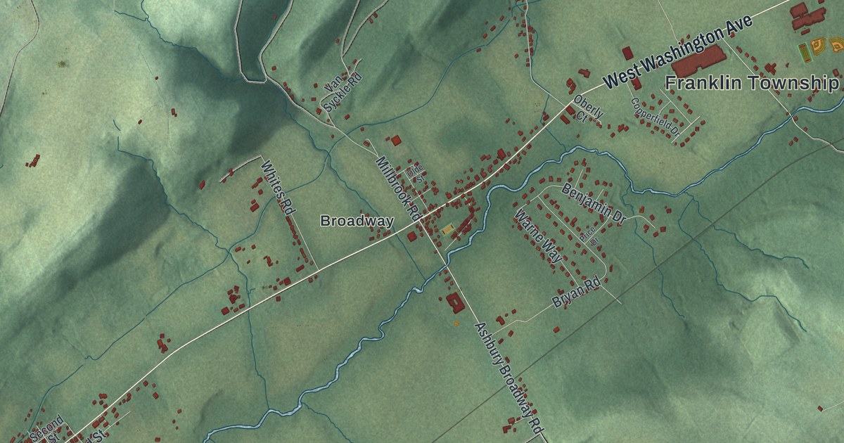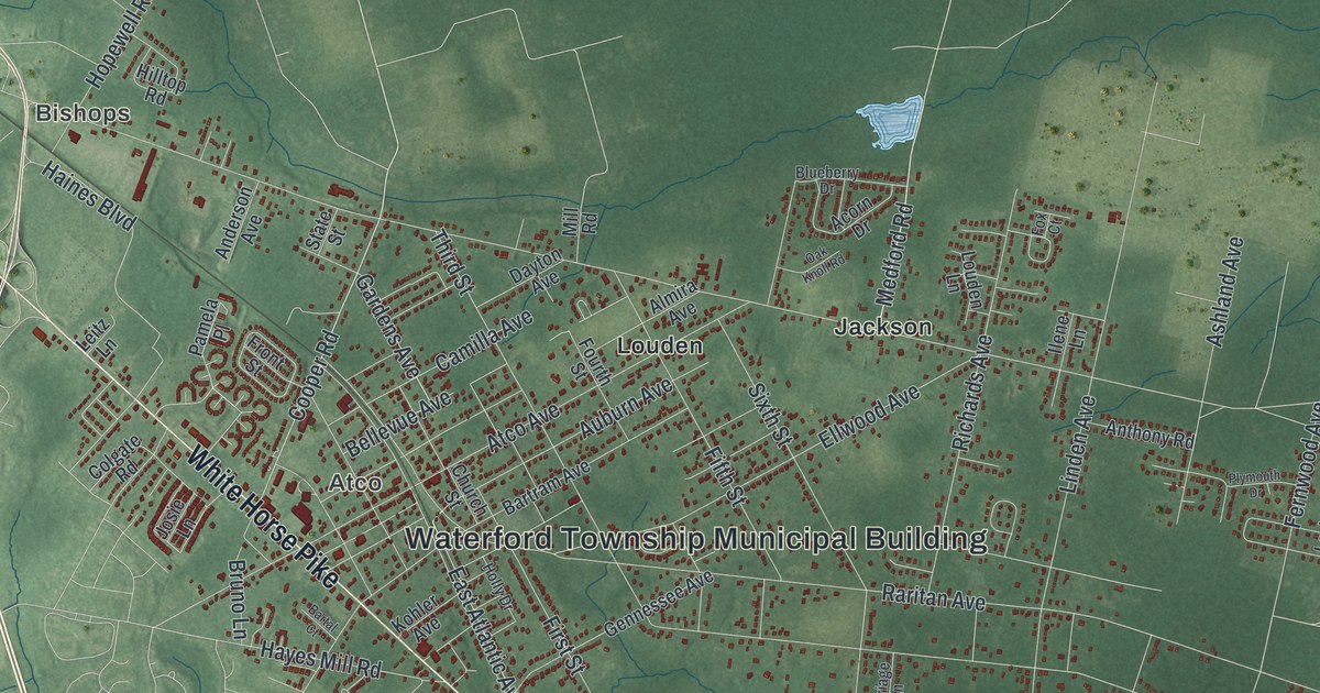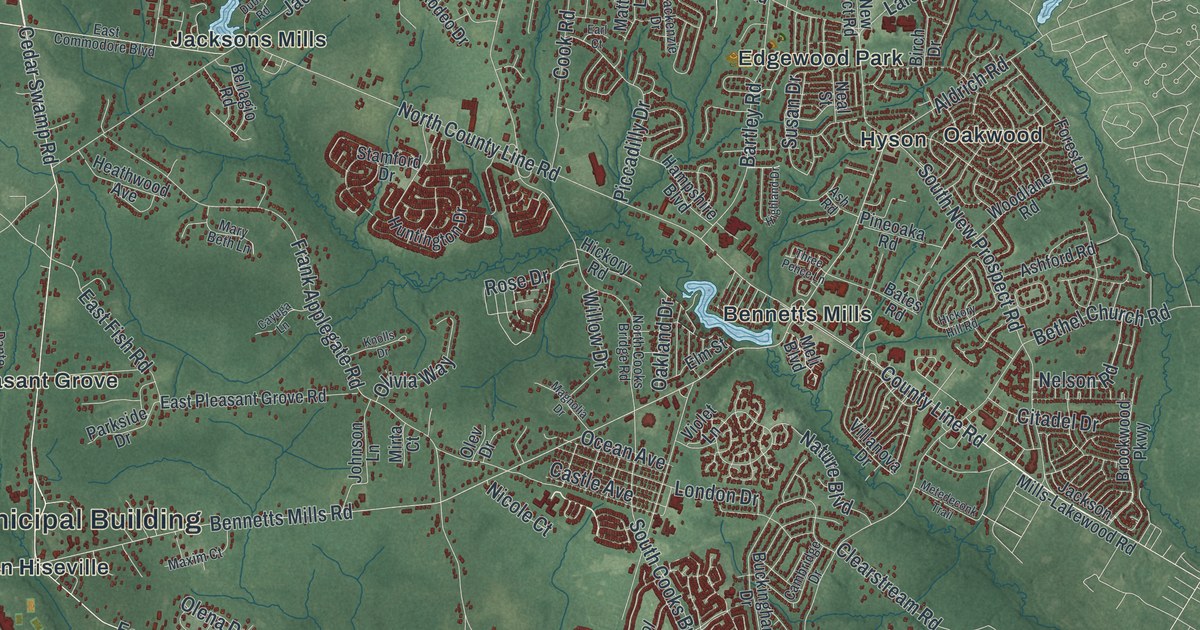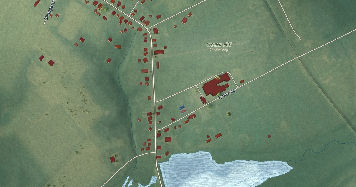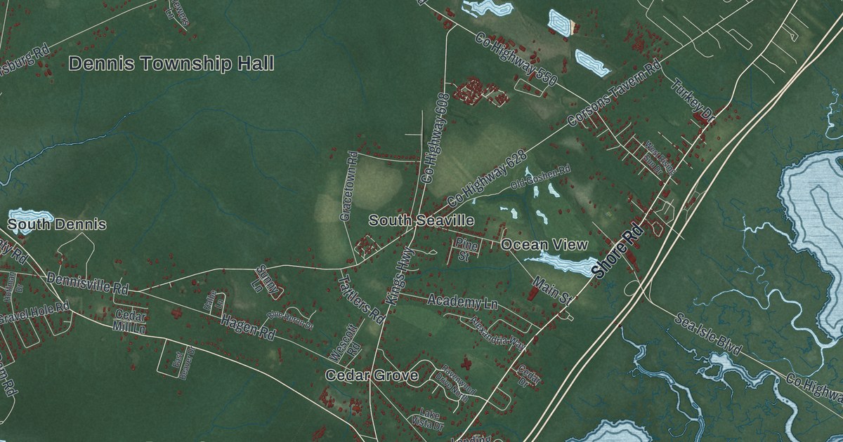
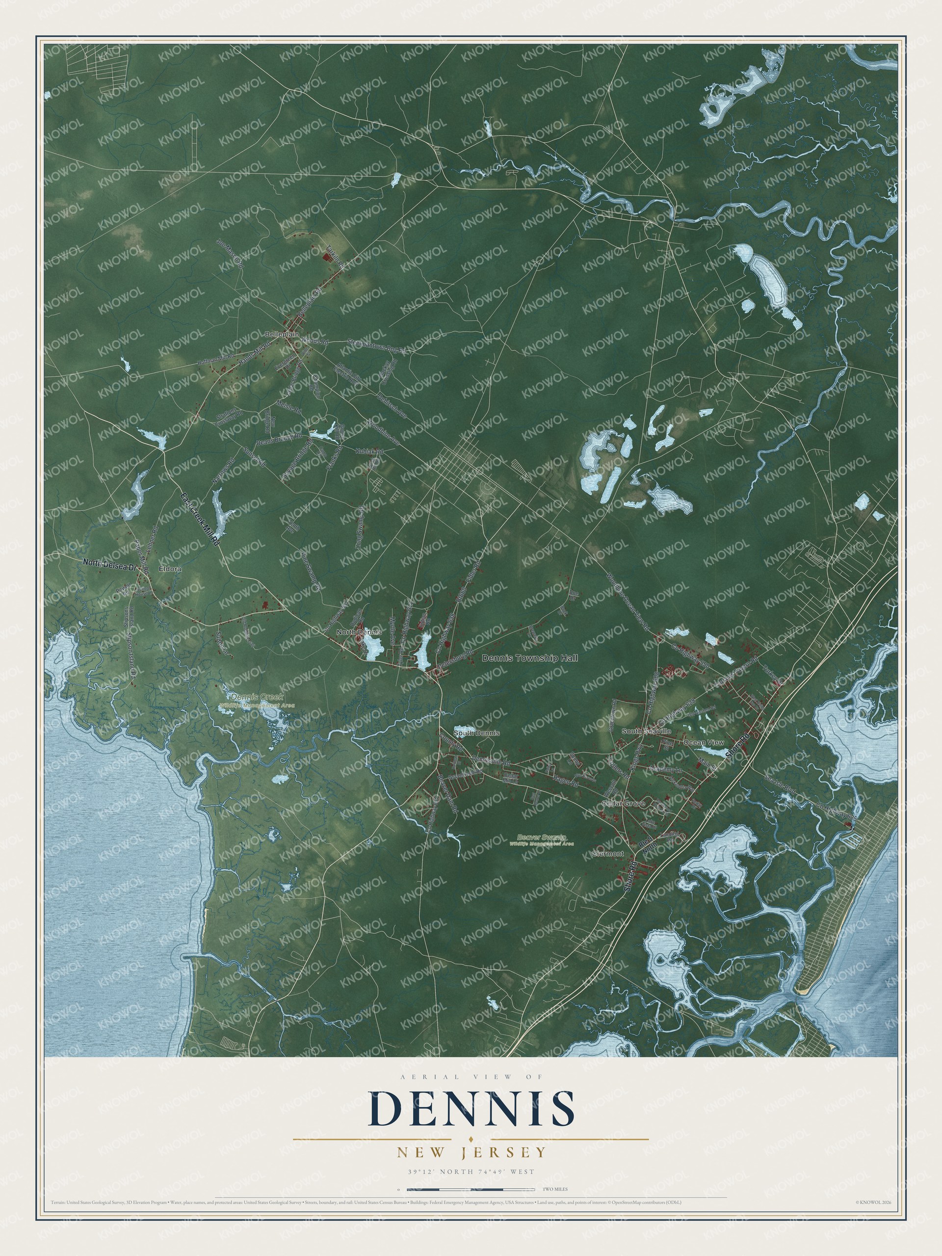
This beautifully detailed map of Dennis, New Jersey was created in 2026 using aerial imagery combined with modern topographical, census, street and landmark data. It’s a one-of-a-kind view of Dennis that combines accurate data with a vintage aesthetic. The map shows every building in its true location, many of the roads carry their names, and the shaded topographic relief shows the shape of the land.
Explore an aerial view of Dennis, New Jersey
On the map you’ll find Dennis Township Hall, Beaver Swamp Wildlife Management Area, Dennis Creek Wildlife Management Area, Belleplain, Cedar Grove, Clermont, Eldora, North Dennis, Ocean View, South Dennis, and South Seaville, along with North Delsea Drive, and more. If you look closely you can even find your house accurately drawn in its correct location. Zoom in on the preview to look for yours.
Did You Know?
Anthony Ludlam founded Dennisville, the leading village of Dennis Township, in 1726. In 1812, people found huge cedar trees buried under the local swamps. By the 1880s, workers were raising these logs, four to six feet across, from the swamp floor. The wood fed a thriving local boom in shingles and staves.
Take a closer look at the Dennis map
Names on this map
These names are printed on this map.
Places: Dennis Township Hall, Beaver Swamp Wildlife Management Area, Dennis Creek Wildlife Management Area, Belleplain, Cedar Grove, Clermont, Eldora, North Dennis, Ocean View, South Dennis and South Seaville.
Streets and roads: North Delsea Drive, Shore Road, East Creek Mill Road, County Highway 550, Hands Mill Road, Steelmantown Bog Road, Woods Road, Woodbine Ocean View Road, County Highway 608, Woodbine Avenue, Kings Highway, Meisle Road.
More street names, A to Z
Academy Lane, Alexandria Way, Atlantic City Electric Row, Beaver Dam Road, Belleplain Road, Blue Heron Drive, Brewers Lane, Buck Drive, Buck Hill Road, Camp Road, Cedar Bridge Road, Cedar Drive, Cedar Mill Lane, Champion Road, Corsons Tavern Road, County Highway 557, County Highway 611, County Highway 625, County Highway 628, County Highway 638, County Highway 657, County Road, Deans Branch Road, Dehirsch Avenue, Dennisville Road, Doe Drive, Dudican Road, East Beaver Drive, Evergreen Drive, Fidler Road, Franks Road, Goose Kill Road, Gracetown Road, Gravel Hole Road, Hagen Road, Halbe Lane, Hoffman Drive, Hoffman Mill Road, Indian Road, Joe Mason Road, Kubiak Road, Lake Drive, Lake Vista Drive, Landing Road, Lehner Road, Long Swamp Road, Mackay Crossing Road, Main Street, Myrtle Avenue, Narrows Road, New Bridge Road, Old Goshen Road, Old Robbins Trail, Paper Mill Road, Petersburg Road, Pine Street, Pine Swamp Road, Powell Road, Ravenwood Drive North, Route 9 North, Rt660, Savage Bridge Road, School House Lane, Sea Isle Boulevard, Stipson Island Road, Stipsons Island Road, Strattons Crossway Road, Sunny Lane, Sunset Road, Sutton Lane, Tarkiln Road, Tattlers Road, Tenth Avenue, Turkey Drive, Tyler Road, Vine Street, Wescott Road, West Rising Sun Drive.
See it on a wall
The Dennis map as an 18 x 24 inch print in a black frame.

This beautifully detailed map of Dennis makes an attractive addition to your office, library, or den, and it can even be used to teach children the geography and history of the area. It also makes a great gift for anyone who grew up in Dennis or moved away. When you’re done exploring, click here to get your copy of the Dennis map.