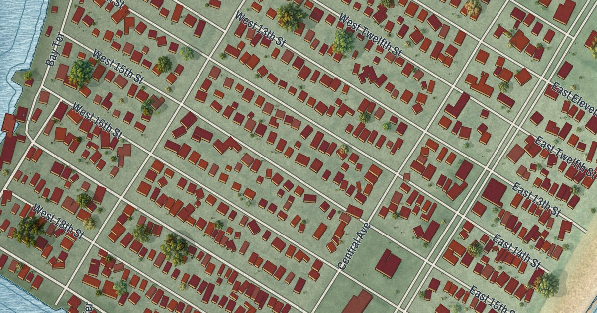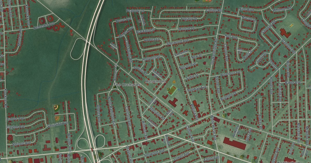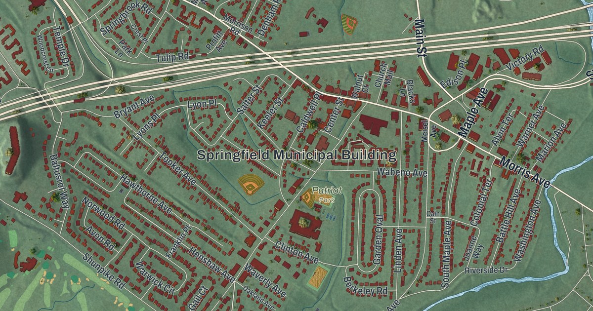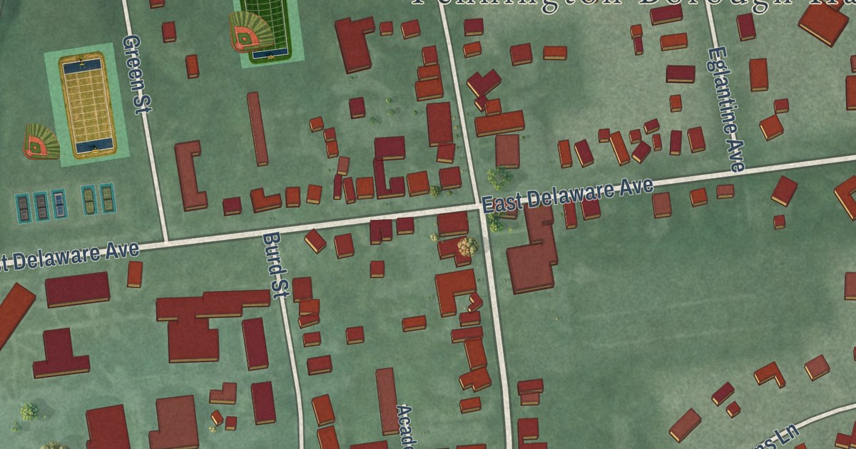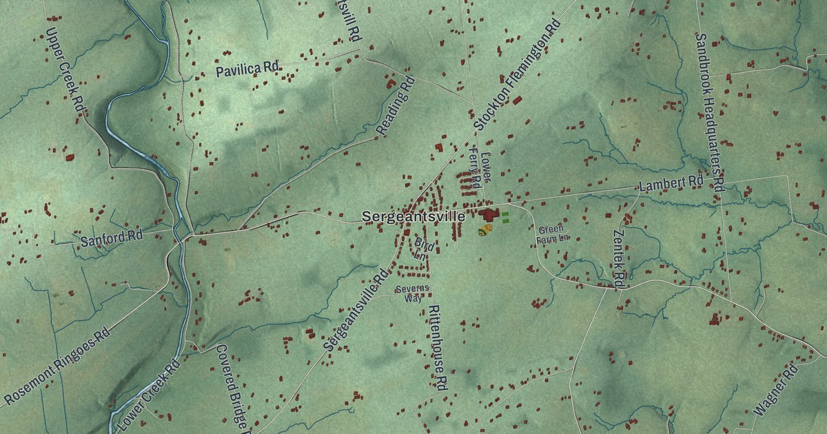
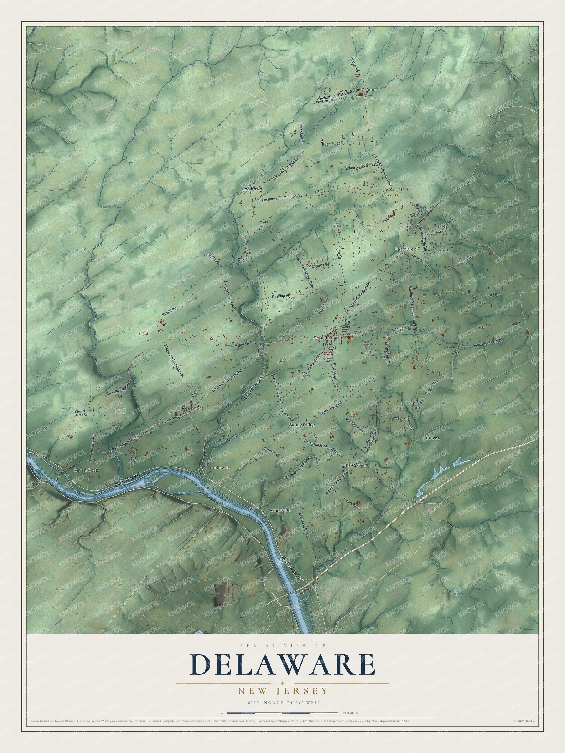
This beautifully detailed map of Delaware, New Jersey was created in 2026 using aerial imagery combined with modern topographical, census, street and landmark data. It’s a one-of-a-kind view of Delaware that combines accurate data with a vintage aesthetic. The map shows every building in its true location, many of the roads carry their names, and the shaded topographic relief shows the shape of the land.
Explore an aerial view of Delaware, New Jersey
On the map you’ll find Raven Rock, Wescott Preserve, Bowne, Brookville, Croton, Dilts Corner, Locktown, Prallsville, Rosemont, Sand Brook, Sandy Ridge, Sergeantsville, and more. If you look closely you can even find your house accurately drawn in its correct location. Zoom in on the preview to look for yours.
Take a closer look at the Delaware map
Names on this map
These names are printed on this map.
Places: Raven Rock, Wescott Preserve, Bowne, Brookville, Croton, Dilts Corner, Locktown, Prallsville, Rosemont, Sand Brook, Sandy Ridge and Sergeantsville.
Streets and roads: Daniel Bray Highway, North Main Street, Stockton Flemington Road, Kingwood Stockton Road, Easton Trenton Turnpike, Sandy Ridge Mount Airy Road, Croton Road, Rosemont Ringoes Road, Sergeantsville Road, Lambertville Hq Road, Locktown Sergeantsvill Road, Upper Creek Road.
More street names, A to Z
Bird Lane, Biser Road, Boars Head Road, Bowne Station Road, Britton Road, Brookville Hollow Road, Buchanan Road, Cemetary Road, Covered Bridge Road, Dogwood Drive, Dunkard Church Road, Edna Horn Drive, Featherbed Lane, Federal Twist Road, Ferry Road, Frenchtown Flemington Road, Grafton Road, Green Farm Lane, Haines Road, Hamp Road, Hewitt Road, Holly Jill Lane, Knoll Tavern Road, Lambert Road, Lambertville Headquarters Road, Locktown Flemington Road, Locktown School Road, Lower Creek Road, Lower Ferry Road, Mason Farm Road, Meszaros Road, Old Croton Road, Old Mill Road, Paulmier Road, Pavilica Road, Pine Hill Road, Quarry Road, Raven Rock Road, Raven Rock Rosemont Road, Reading Road, Rittenhouse Road, River Road, Sandbrook Headquarters Road, Sandy Ridge Road, Sanford Road, Seabrook Road, Severns Way, Stompf Tavern Road, Stone Signpost Road, Strimples Mill Road, Sutton Farm Road, Wagner Road, Whiskey Lane, Worman Road, Yard Road, Zentek Road.
See it on a wall
The Delaware map as an 18 x 24 inch print in a black frame.

This beautifully detailed map of Delaware makes an attractive addition to your office, library, or den, and it can even be used to teach children the geography and history of the area. It also makes a great gift for anyone with Delaware roots. When you’re done exploring, click here to get your copy of the Delaware map.