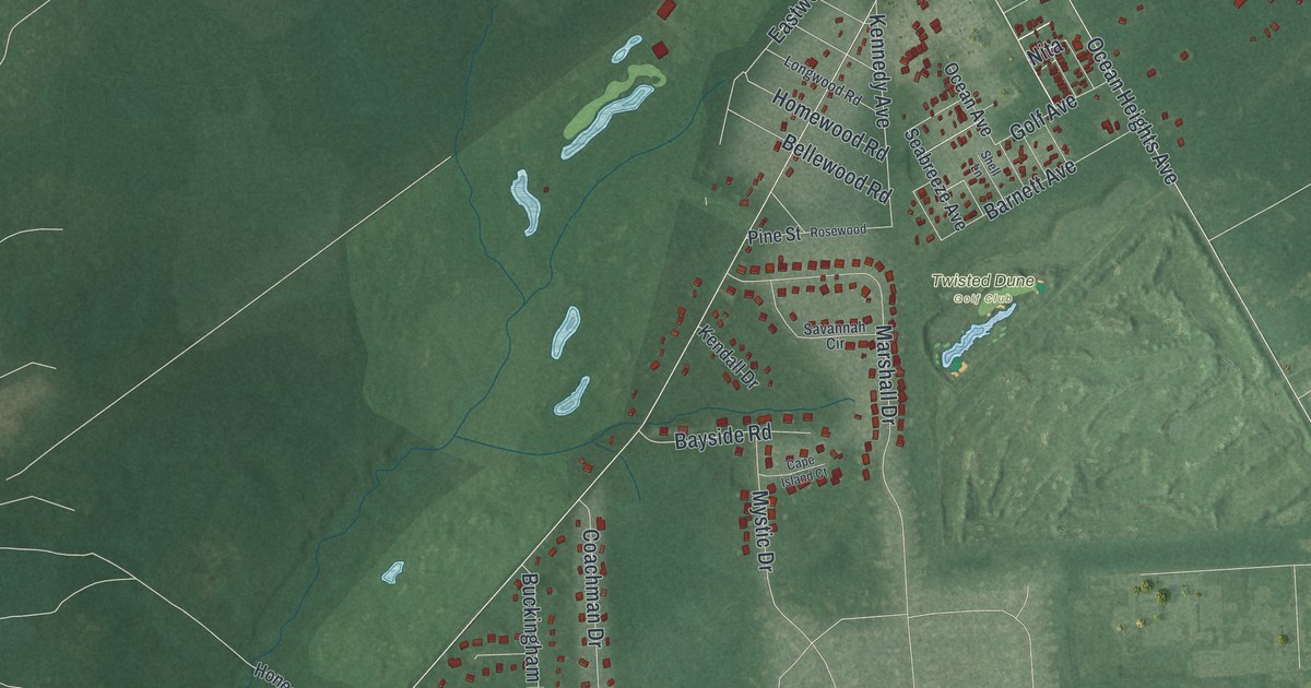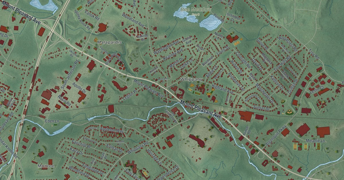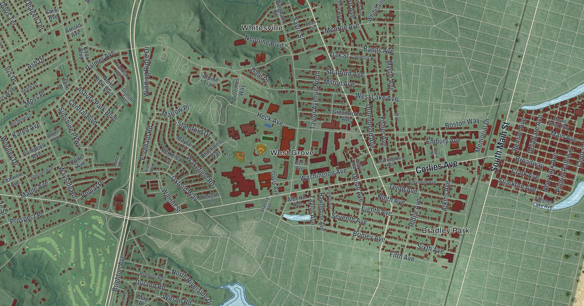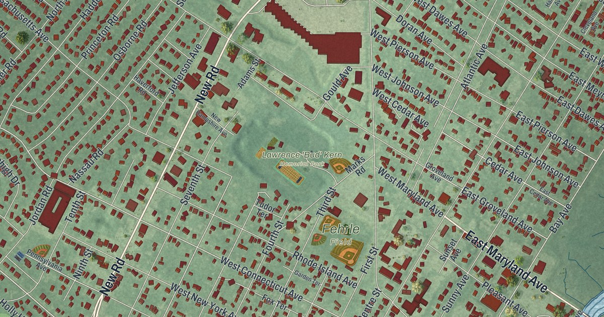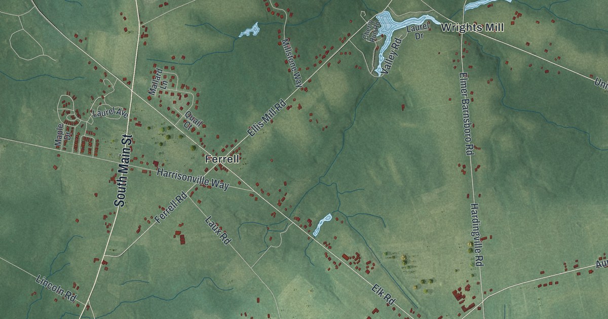
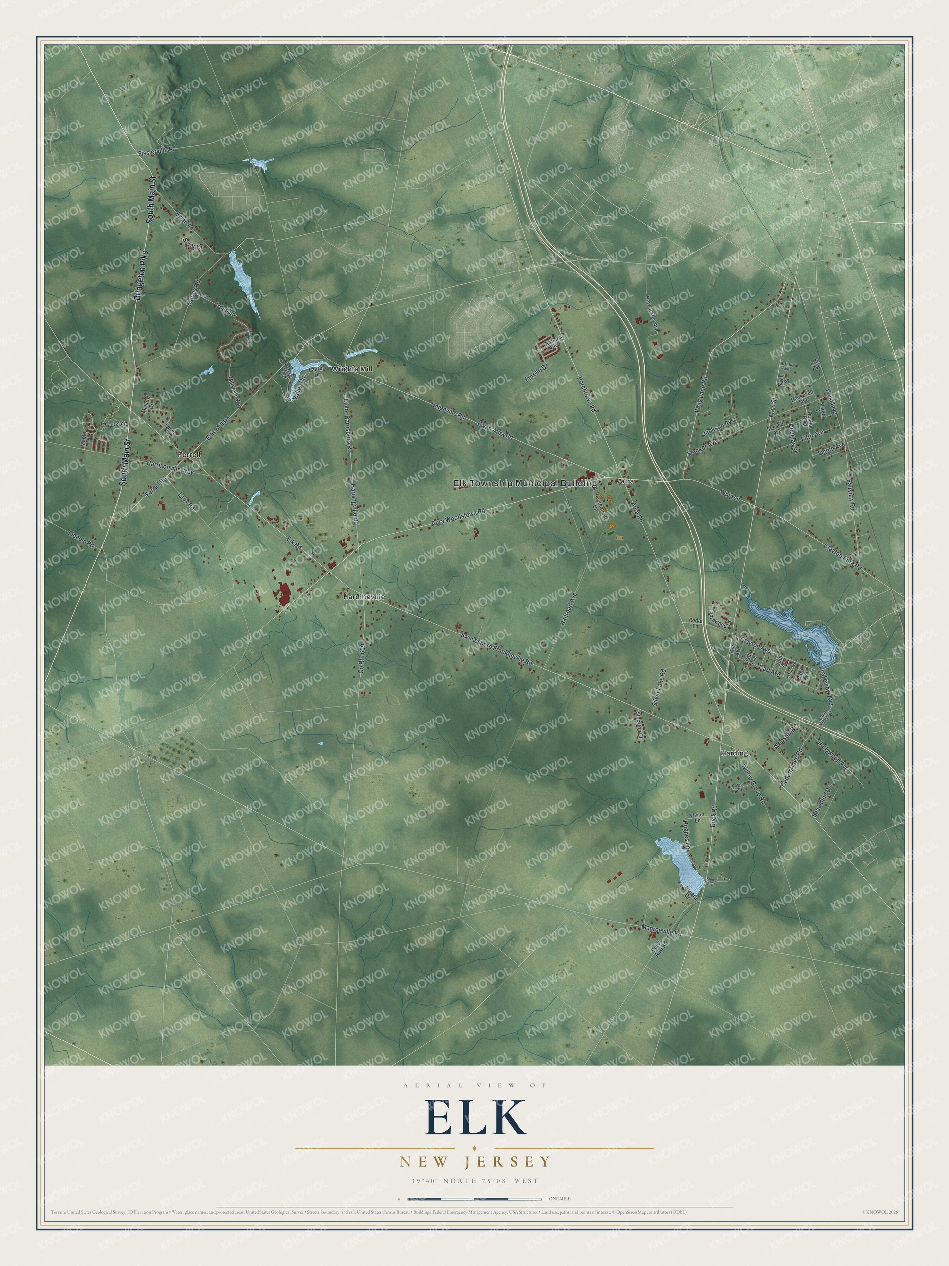
This beautifully detailed map of Elk, New Jersey was created in 2026 using aerial imagery combined with modern topographical, census, street and landmark data. It’s a one-of-a-kind view of Elk that combines accurate data with a vintage aesthetic. The map shows every building in its true location, many of the roads carry their names, and the shaded topographic relief shows the shape of the land.
Explore an aerial view of Elk, New Jersey
On the map you’ll find Elk Township Municipal Building, Aura, Ferrell, Harding, Hardingville, and Wrights Mill, along with Bridgeton Pike, South Main Street, Buck Road, Main Street, Whig Lane Road, Porchtown Road, and more. If you look closely you can even find your house accurately drawn in its correct location. Zoom in on the preview to look for yours.
Take a closer look at the Elk map
Names on this map
These names are printed on this map.
Places: Elk Township Municipal Building, Aura, Ferrell, Harding, Hardingville and Wrights Mill.
Streets and roads: Bridgeton Pike, South Main Street, Buck Road, Main Street, Whig Lane Road, Porchtown Road, Aura Woodstown Road, Ewan Aura Road, Unionville Road, Aura Road, Hardingville Road, Clayton Avenue.
More street names, A to Z
21st Avenue, 24th Avenue, 29th Avenue, 31st Avenue, 33rd Avenue, Arch Street, Arthur Avenue, Carl Avenue, Cedarbridge Road, Cedar Bridge Road, Cedar Lane, Cherry Run Road, Clayton Aura Road, Cortland Boulevard, County Route 609, Covey Place, Douglas Street, Dunbar Boulevard, Dutch Row Road, Eighth Avenue, Elk Road, Ellis Mill Road, Elmer Barnsboro Road, Ewan Road, Fairview Road, Ferrell Road, Fifth Avenue, Fisslerville Road, Forelle Drive, Grindstone Court, Harrisonville Way, Hollywood Avenue, Hughes Lane, Irdell Lane, Iredell Lane, Jackson Avenue, Lakeview Avenue, Laurel Avenue, Laurel Drive, Laux Road, Lincoln Road, Mallard Lane, Maple Drive, Marion Street, Millstone Way, Monroeville Road, Moods Road, New Jersey Avenue, Quail Court, Railroad Avenue, Recreation Drive, Riviera Drive, Roosevelt Avenue, Second Avenue, Silver Lake Road, Solar Court, Spaulding Drive, Stanger Avenue, Stines Boulevard, Stockton Court, Swedesboro Franklinville Road, Taft Avenue, Thornwood Drive, Valley Road, Vivian Lane, Webster Drive, West Boulevard, Whig Lane, Willow Grove Road.
See it on a wall
The Elk map as an 18 x 24 inch print in a black frame.

This beautifully detailed map of Elk makes an attractive addition to your office, library, or den, and it can even be used to teach children the geography and history of the area. It also makes a great gift for anyone who grew up in Elk or moved away. When you’re done exploring, click here to get your copy of the Elk map.