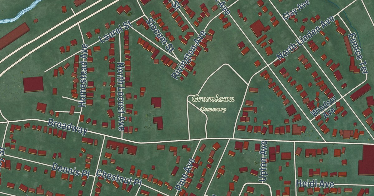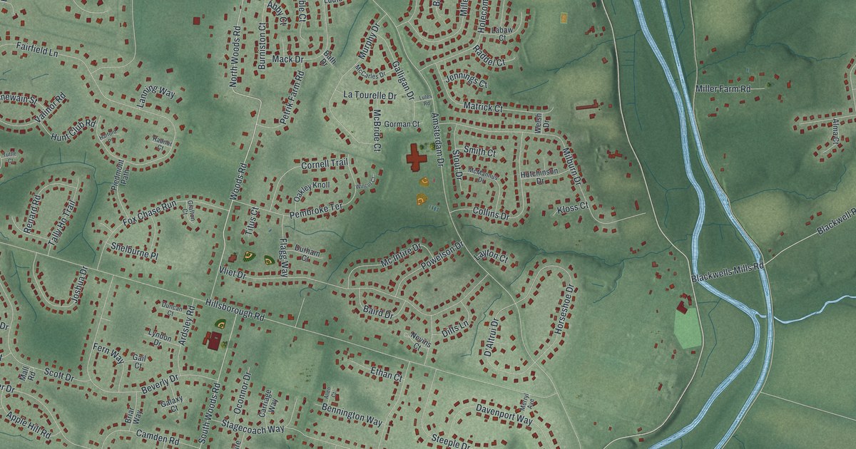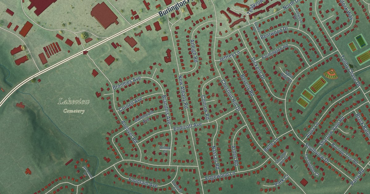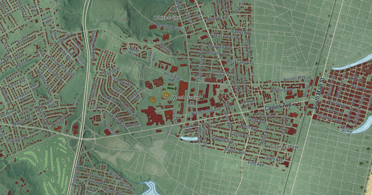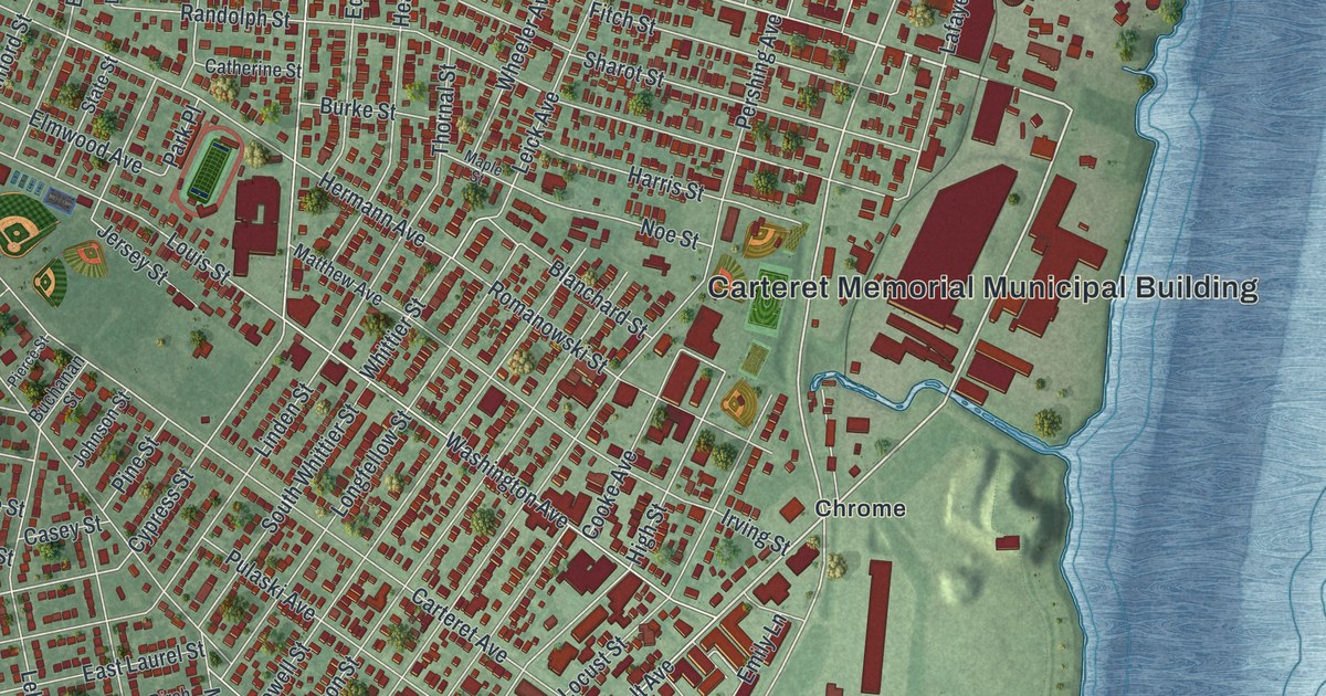
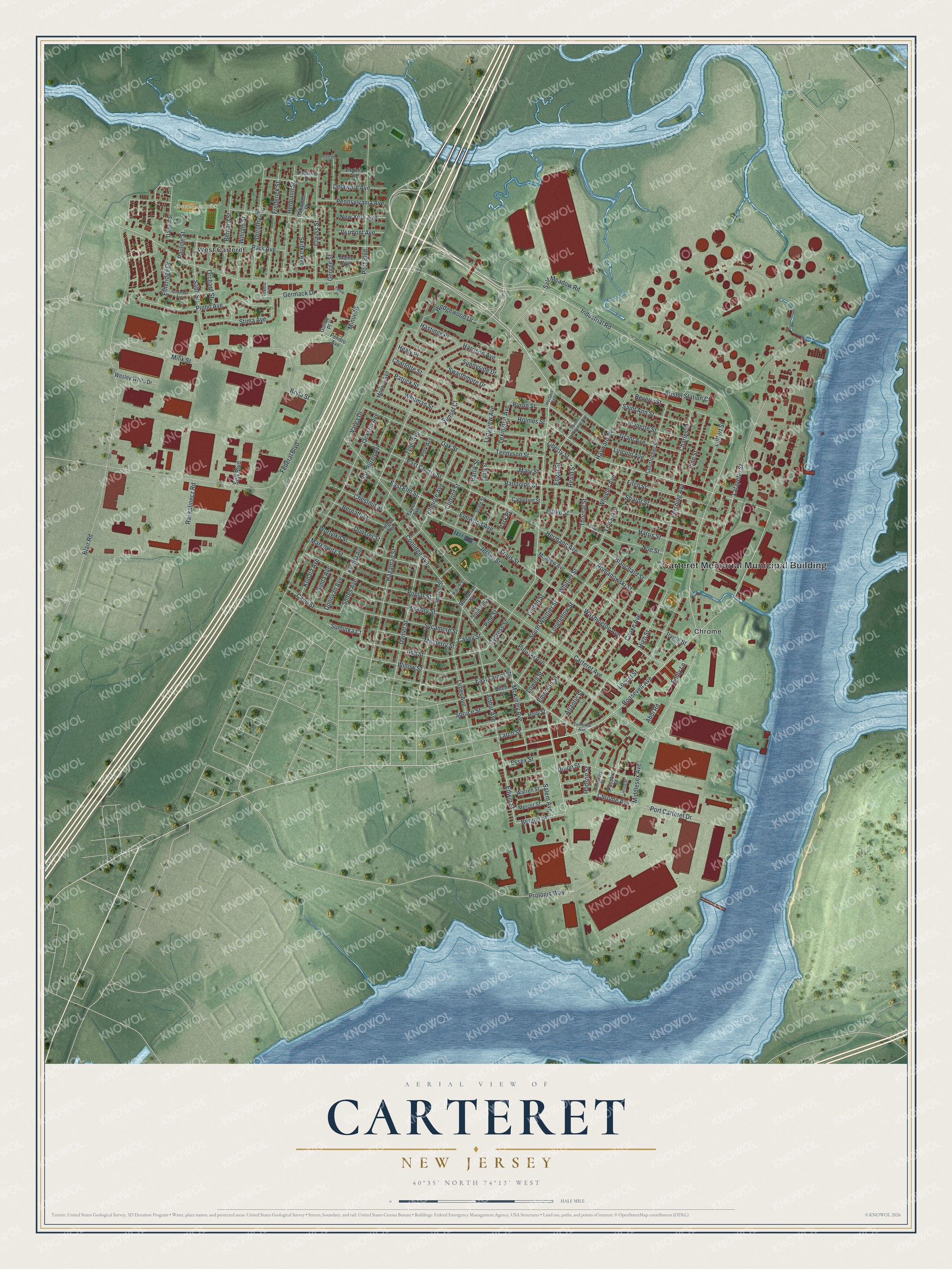
This beautifully detailed map of Carteret, New Jersey was created in 2026 using aerial imagery combined with modern topographical, census, street and landmark data. It’s a one-of-a-kind view of Carteret that combines accurate data with a vintage aesthetic. The map shows every building in its true location, many of the roads carry their names, and the shaded topographic relief shows the shape of the land.
Explore an aerial view of Carteret, New Jersey
On the map you’ll find Carteret Memorial Municipal Building, Joseph Medwick Park, Chrome, and West Carteret, along with Roosevelt Avenue, Edwin Street, Bergen Street, Pershing Avenue, Harrison Avenue, Industrial Road, McKinley Avenue, High Street, and more. If you look closely you can even find your house accurately drawn in its correct location. Zoom in on the preview to look for yours.
Did You Know?
The borough was created in 1906 under the name Roosevelt. It became Carteret in 1922. The new name honored Sir George Carteret, an early proprietor of New Jersey, and his son Philip, the first royal governor. The family had also controlled the island of Jersey, which gave the state its name.
Take a closer look at the Carteret map
Names on this map
These names are printed on this map.
Places: Carteret Memorial Municipal Building, Joseph Medwick Park, Chrome and West Carteret.
Streets and roads: Roosevelt Avenue, Edwin Street, Bergen Street, Pershing Avenue, Harrison Avenue, Industrial Road, McKinley Avenue, High Street, Ash Street, Emily Lane, Blanchard Street, Bryla Street.
More street names, A to Z
Abbi Road, Arthur Avenue, Atlantic Street, Barlik Street, Bernard Street, Bernath Street, Beverly Street, Birch Street, Blair Road, Bristol Station Court, Buchanan Street, Burke Street, Byron Street, Capp Street, Carteret Avenue, Casey Street, Catherine Street, Charles Street, Charlotte Street, Chestnut Street, Christopher Street, Chrome Avenue, Clauss Street, Clifford Street, Colgan Avenue, Cooke Avenue, Coolidge Avenue, Cypress Street, Dalbert Street, Dalessio Drive, Daniel Street, Delaware Avenue, Donovan Avenue, Dorothy Street, Duffy Street, Dunster Street, East Cherry Street, East Elm Street, East Laurel Street, Edgar Street, Elmwood Avenue, Emerson Street, Essex Street, Etheridge Drive, Federal Boulevard, Fillmore Avenue, Fitch Street, Frederick Street, George Court, George Street, Germack Drive, Ginda Avenue, Grant Avenue, Gulino Place, Hagaman Street, Harris Street, Hastings Place, Hayward Avenue, Heald Street, Healy Place, Herbert Avenue, Hermann Avenue, Hermann Street, Hickory Street, Holly Street, Holmes Street, Hudson Street, Irving Street, Jackson Avenue, Jeanette Street, Jersey Street, Jessie Street, Johnson Street, John Street, Kobala Avenue, Kurdyla Avenue, Lafayette Street, Larch Street, Leber Avenue, Leffert Street, Leick Avenue, Lexington Avenue, Liberty Street, Lincoln Avenue, Linden Street, Locust Street, Longfellow Street, Longview Avenue, Louis Street, Lowell Street, Maine Avenue, Maple Street, Marion Street, Markowitz Street, Mary Street, Matthew Avenue, Mercer Street, Middlesex Avenue, Milik Street, Minue Street, Monroe Avenue, Mulberry Street, New York Avenue, Noe Street, Oak Street, Oakwood Place, Orchard Street, Park Avenue, Park Place, Passaic Street, Patrick Street, Pauline Street, Pekola Terrace, Pelick Place, Pendro Avenue, Pennsylvania Avenue, Pierce Street, Pine Street, Pinho Avenue, Polk Avenue, Poplar Street, Port Carteret Drive, Post Boulevard, Prologis Way, Pulaski Avenue, Randolph Street, Raskulinecz Road, Romanowski Street, Sabo Street, Saint Ann Street, Saint Volodymyr Avenue, Salem Avenue, Salt Meadow Road, Self Boulevard, Sharot Street, Skitka Avenue, Soltes Avenue, Somerset Street, South Whittier Street, Spoganetz Avenue, Spruce Street, State Street, Stima Avenue, Sumutka Court, Sunnyside Drive, Sunset Court, Swarthmore Drive, Sycamore Street, Taylor Avenue, Tennyson Street, Terminal Avenue, Thornal Street, Tyler Avenue, Union Street, Van Buren Avenue, Varga Drive, Vermont Avenue, Virginia Avenue, Warren Street, Washington Avenue, Wedgewood Drive, Wesley White Drive, Wheeler Avenue, Whitman Street, Whittier Street, William Street, Willow Street, Wortylko Street.
See it on a wall
The Carteret map as an 18 x 24 inch print in a black frame.

This beautifully detailed map of Carteret makes an attractive addition to your office, library, or den, and it can even be used to teach children the geography and history of the area. It also makes a great gift for anyone with Carteret roots. When you’re done exploring, click here to get your copy of the Carteret map.