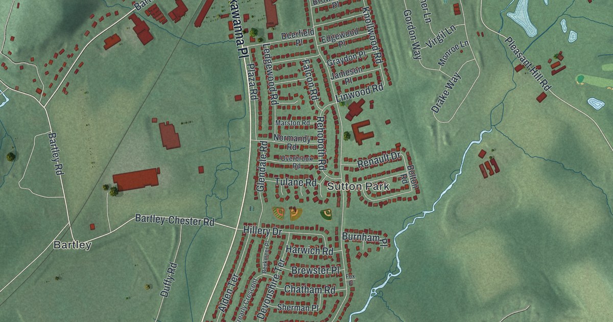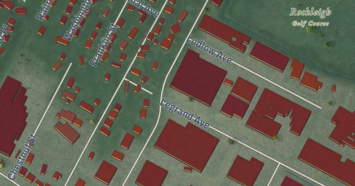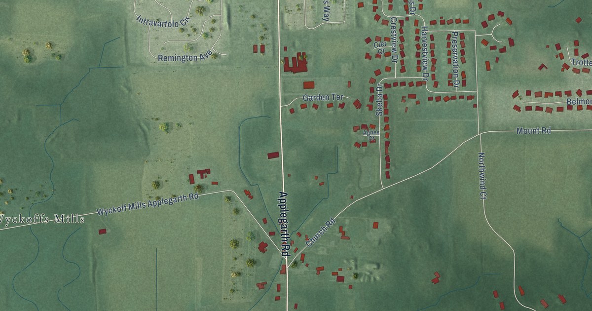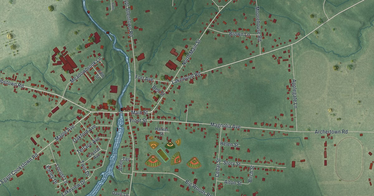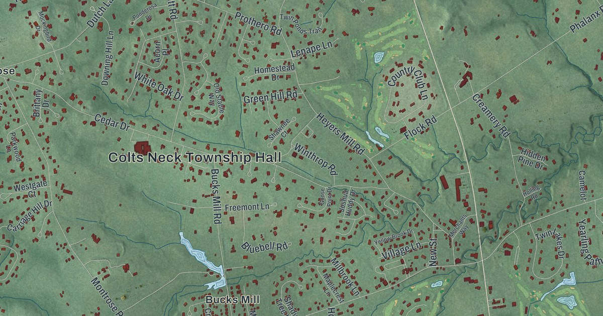
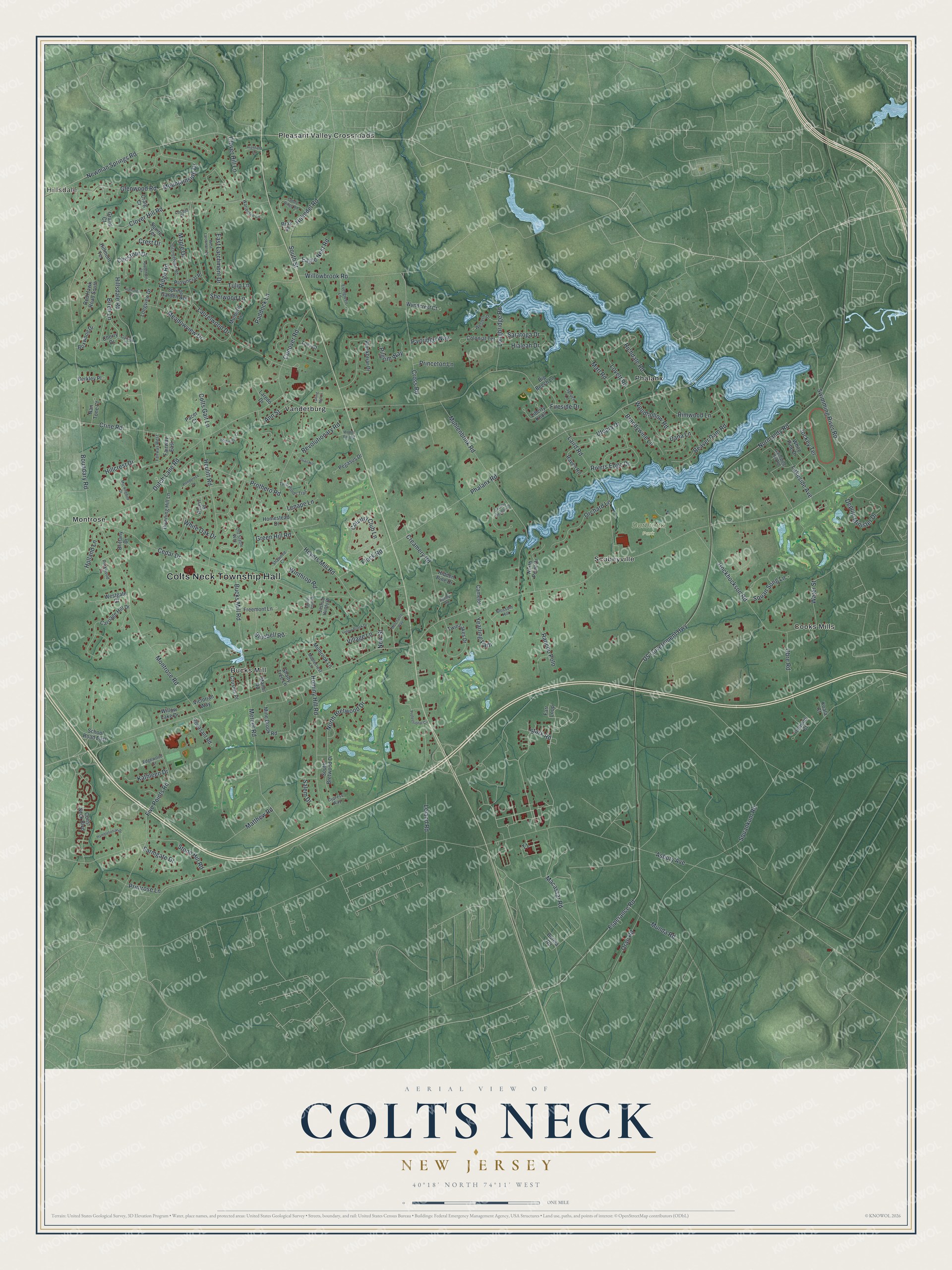
This beautifully detailed map of Colts Neck, New Jersey was created in 2026 using aerial imagery combined with modern topographical, census, street and landmark data. It’s a one-of-a-kind view of Colts Neck that combines accurate data with a vintage aesthetic. The map shows every building in its true location, many of the roads carry their names, and the shaded topographic relief shows the shape of the land.
Explore an aerial view of Colts Neck, New Jersey
On the map you’ll find Colts Neck Township Hall, Hillsdale, Dorbrook Park, Bucks Mill, Cooks Mills, Montrose, Phalanx, Pleasant Valley Crossroads, Scobeyville, and Vanderburg, along with Stark Road, Normandy Road, and more. If you look closely you can even find your house accurately drawn in its correct location. Zoom in on the preview to look for yours.
Did You Know?
From 1843 to 1856, Colts Neck was home to the North American Phalanx. This utopian community followed the ideas of Charles Fourier. Its members marketed the first boxed cereal. The township was called Atlantic Township until voters renamed it Colts Neck in 1962.
Take a closer look at the Colts Neck map
Names on this map
These names are printed on this map.
Places: Colts Neck Township Hall, Hillsdale, Dorbrook Park, Bucks Mill, Cooks Mills, Montrose, Phalanx, Pleasant Valley Crossroads, Scobeyville and Vanderburg.
Streets and roads: Stark Road, Normandy Road, Esperance Road, Swimming River Road, Phalanx Road, Boundary Road, Asbury Avenue, US Government Highway, Laird Road, Heyers Mill Road, Cedar Drive, Muhlenbrink Road.
More street names, A to Z
Acorn Place, Ann Street, Applethorn Court, Beaver Dam Road, Berkley Place, Big Beech Lane, Birch Lane, Blackbriar Drive, Blossom Hill, Bluebell Road, Boxwood Drive, Brandywine Lane, Bray Street, Brittany Drive, Bucks Mill Road, Burma Road, Camelot, Carriage Hill Drive, Cherry Drive, Chestnut Drive, Clover Hill Lane, Clover Hill Road, Colonial Terrace, Colts Gait Lane, Colts Neck Boulevard, Conover Road, Country Club Lane, Country Meadow Drive, Craig Court, Creamery Road, Crest Drive, Crine Road, Cross Road, Crusius Place, Cypress Way, Dana Lane, Deputy Minister Drive, Downing Hill Lane, Dutch Lane Road, Eagle Nest Road, East Larchmont Drive, Edgewood Court, Evergreen Lane, Fairway East, Fairway West, Farmgate Drive, Farr Loop, Fireside Drive, Five Points Road, Flock Road, Freemont Lane, Fulling Mill Lane, Gaitway Drive, Galloping Hill Road, Georgetown Road, Glenwood Road, Goose Point Drive, Grand Court, Green Hill Road, Hambletonian Drive, Hartshorn Drive, Heulitt Road, Hialeah Drive, Hidden Pine Drive, Highfield Lane, Hillcrest Drive, Hillmont Terrace, Hillsdale Road, Hockhockson Road, Holland Lane, Holling Road, Holmdel Road, Homestead Drive, Hominy Hill Road, Iroquois Court, Jockey Terrace, Joshua Huddy Drive, Kathleen Drive, Koala Court, Lakeside Avenue, Laredo Drive, Laurelwood Drive, Leland Road, Lenape Lane, Liberty Knoll, Locust Place, Longbridge Road, Longview Drive, Lovett Road, Macassar Road, Manor Road, Maplecrest Lane, Maple Drive, Marl Road, Matthew Road, Meadowview Drive, Mercer Road, Merchants Way, Millbrook Lane, Mine Brook Road, Mockingbird Drive, Montrose Road, Mountainside Drive, Mulberry Lane, Munda Road, Nan Tone Court, Newman Springs Road, New Street, North Bretwood Drive, North Point Drive, Obre Road, Old Stable Way, Oran Road, Orchard Lane, Pacer Court, Paddock Lane, Parkwood Lane, Partridge Way, Pegasus Drive, Pheasant Road, Pilgrim Way, Ponderosa Drive, Primrose Lane, Princeton Lane, Professional Circle, Prothero Road, Provincial Place, Quail Hill, Rancho Polo, Raven Road, Red Hawk Road South, Revolutionary Road, Richdale Road, Ridge Road, Rimwood Lane, Rivers Edge Drive, Saddle Ridge Road, Salem Drive, Saratoga Drive, School Road East, Shady Tree Lane, Shawnee Court, Sherwood Lane, South Bretwood Drive, South Street, Spring Garden Avenue, Spruce Lane, Squankum Road, Squan Song Lane, Squire Terrace, Stone Hill Road, Tory Court, Tulip Lane, Twin Lakes Drive, Twin Ponds Trail, Utopia Drive, Victorian Way, Village Lane, Warrenton Lane, Water Street, Wellington Court, Western Drive, Westgate Court, West Larchmont Drive, White Oak Drive, White Pine Drive, Willowbrook Road, Willow Lake Drive, Winthrop Road, Woodhollow Road, Woods End Road, Wyndcrest Court, Yearling Path, Yellow Brook Drive.
See it on a wall
The Colts Neck map as an 18 x 24 inch print in a black frame.

This beautifully detailed map of Colts Neck makes an attractive addition to your office, library, or den, and it can even be used to teach children the geography and history of the area. It also makes a great gift for someone who left Colts Neck and still calls it home. When you’re done exploring, click here to get your copy of the Colts Neck map.