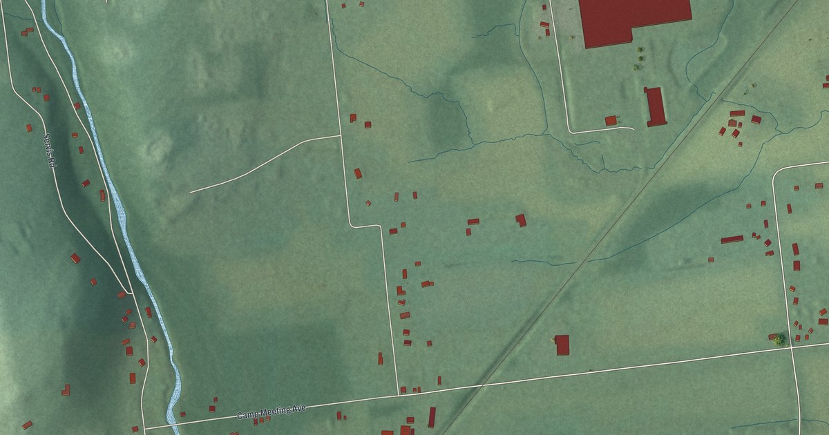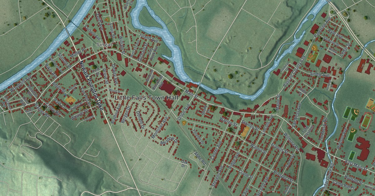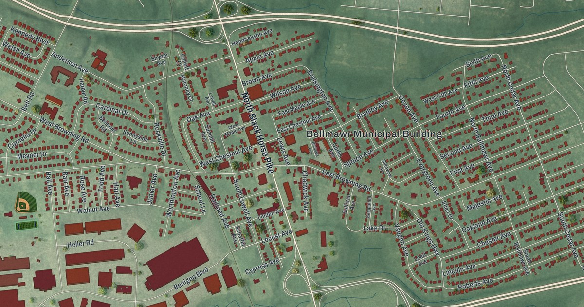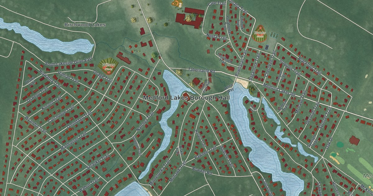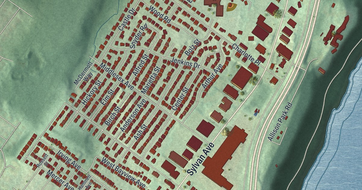
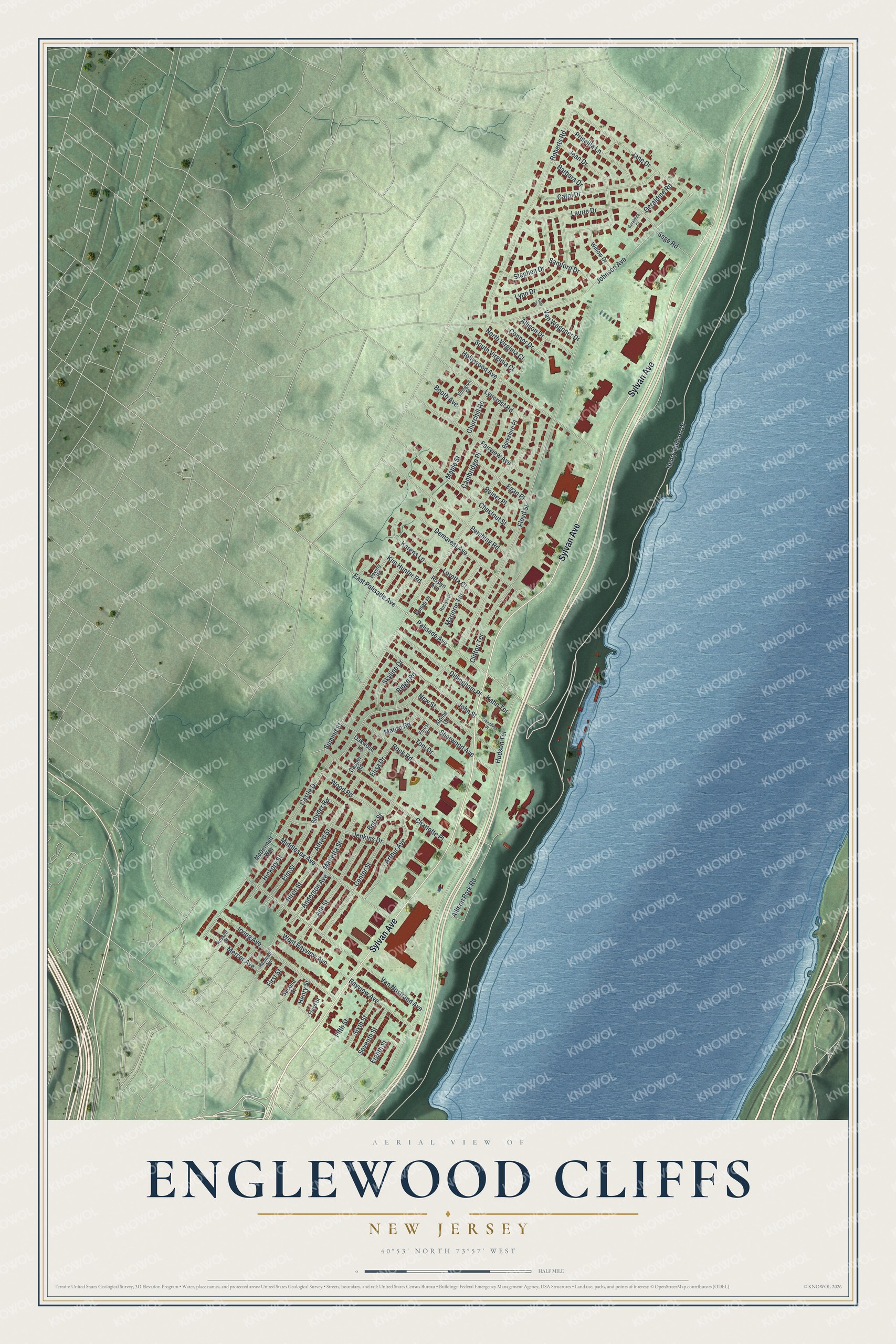
This beautifully detailed map of Englewood Cliffs, New Jersey was created in 2026 using aerial imagery combined with modern topographical, census, street and landmark data. It’s a one-of-a-kind view of Englewood Cliffs that combines accurate data with a vintage aesthetic. The map shows every building in its true location, many of the roads carry their names, and the shaded topographic relief shows the shape of the land.
Explore an aerial view of Englewood Cliffs, New Jersey
On the map you’ll find Sylvan Avenue, Henry Hudson Drive, Palisade Avenue, Allison Park Road, East Palisade Avenue, Summit Street, Hudson Terrace, Floyd Street, Johnson Avenue, Roberts Road, Castle Drive, Van Nostrand Avenue, and more. If you look closely you can even find your house accurately drawn in its correct location. Zoom in on the preview to look for yours.
Did You Know?
The borough split off from Englewood Township in 1895, and William Outis Allison served as its first mayor. It was born during a craze called Boroughitis. In 1894 alone, Bergen County formed 26 new boroughs.
Take a closer look at the Englewood Cliffs map
Names on this map
These names are printed on this map.
Streets and roads: Sylvan Avenue, Henry Hudson Drive, Palisade Avenue, Allison Park Road, East Palisade Avenue, Summit Street, Hudson Terrace, Floyd Street, Johnson Avenue, Roberts Road, Castle Drive, Van Nostrand Avenue.
More street names, A to Z
Alfred Street, Allison Drive, Alpine Court, Anderson Avenue, Arthur Avenue, Ash Street, Barbara Drive, Bayview Avenue, Berkshire Place, Beverly Road, Birch Street, Bolz Street, Booth Avenue, Cambridge Place, Carol Drive, Casper Road, Center Street, Charlotte Place, Chestnut Street, Churchill Road, Clendinen Place, Clifton Terrace, Connor Drive, Demarest Avenue, Dillingham Place, Egan Place, Eighth Street, Elisa Drive, Ellington Place, Elm Street, Ermeti Place, Fairview Avenue, Fifth Street, First Street, Forest Drive, Geraldine Court, Geraldine Road, Hammett Avenue, Henry Street, Hickory Street, Hollywood Avenue, Irving Avenue, Jane Drive, Jean Drive, Jenkins Drive, John Street, Kahn Terrace, Karens Lane, Kim Hunter Road, Laurie Drive, Loretta Court, Lyncrest Road, Lynn Drive, Maple Street, Marietta Street, Marjorie Terrace, Mauro Road, McDermott Way, Mercer Avenue, Middlesex Avenue, Neal Drive, New Street, North Virginia Court, Oakwood Lane, Pershing Road, Priscilla Lane, Reiner Place, Ridge Road, Rock Road, Roslyn Avenue, Roslyn Court, Rossett Street, Sage Road, Samford Drive, Second Street, Seventh Street, Sherwood Avenue, Sixth Street, Skyline Drive, Snyder Road, South Virginia Court, Stephen Drive, Third Street, Toni Drive, Van Wagoner Drive, West Bayview Avenue, Willow Drive, Wood Road.
See it on a wall
The Englewood Cliffs map as an 18 x 24 inch print in a black frame.

This beautifully detailed map of Englewood Cliffs makes an attractive addition to your office, library, or den, and it can even be used to teach children the geography and history of the area. It also makes a great gift for anyone who grew up in Englewood Cliffs or moved away. When you’re done exploring, click here to get your copy of the Englewood Cliffs map.