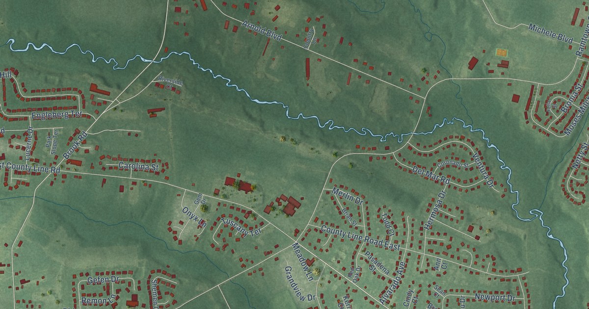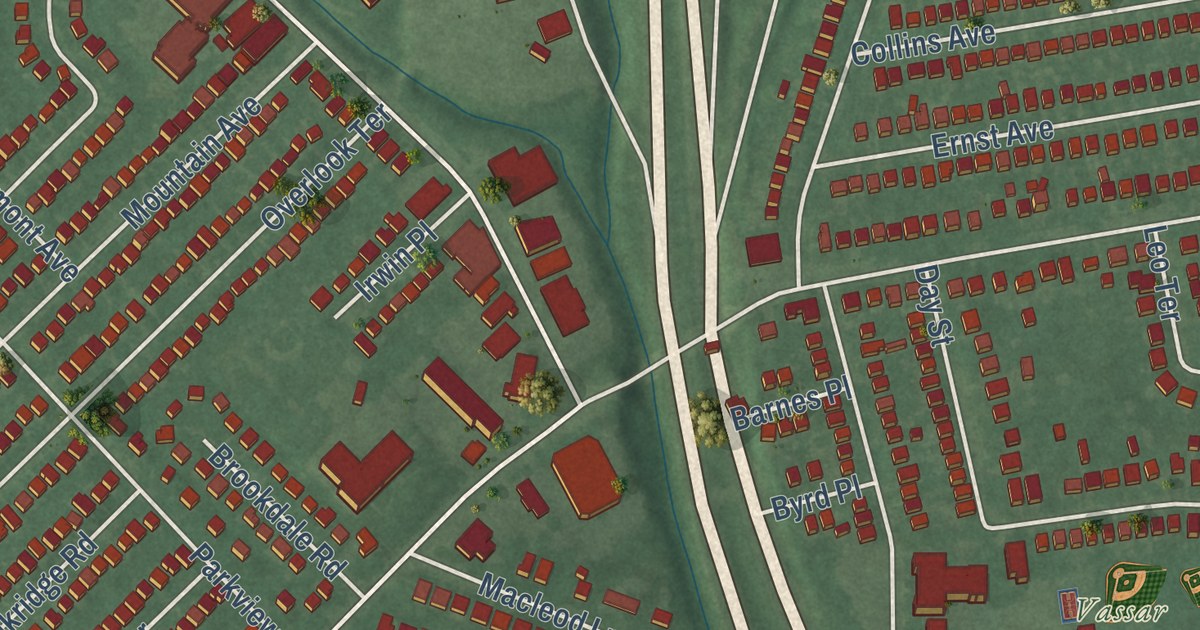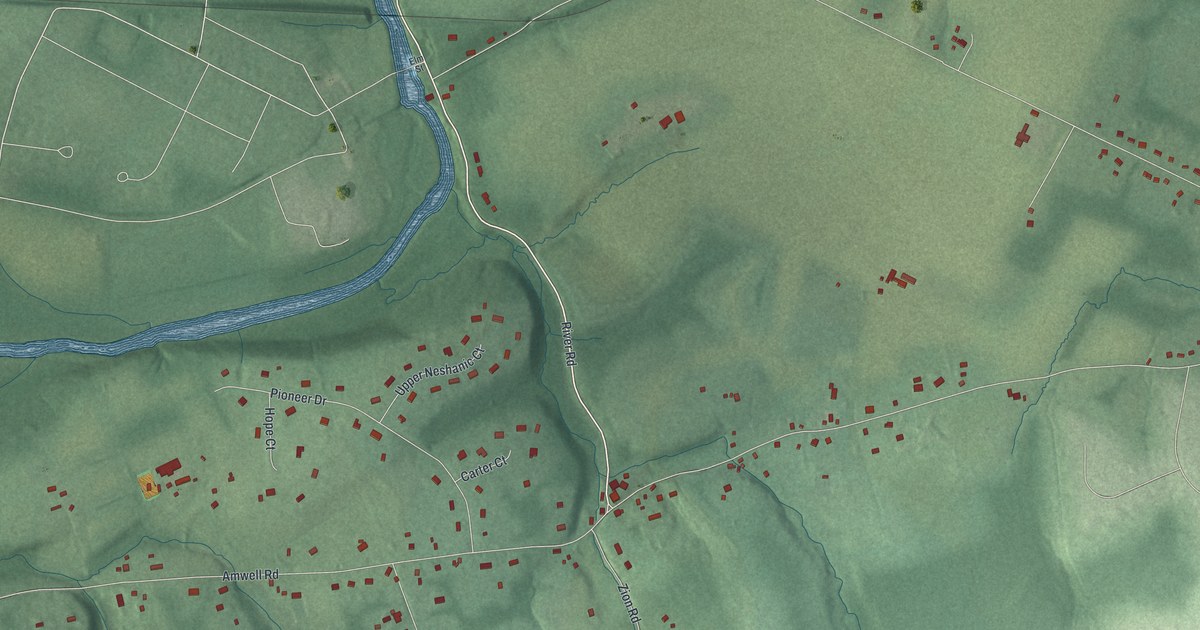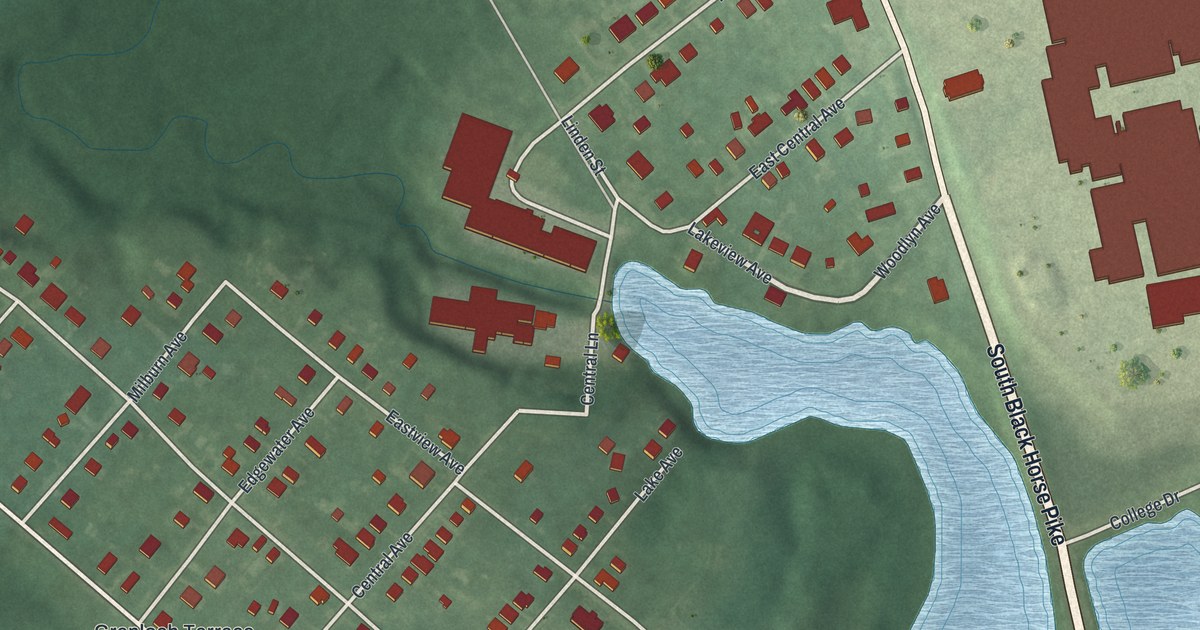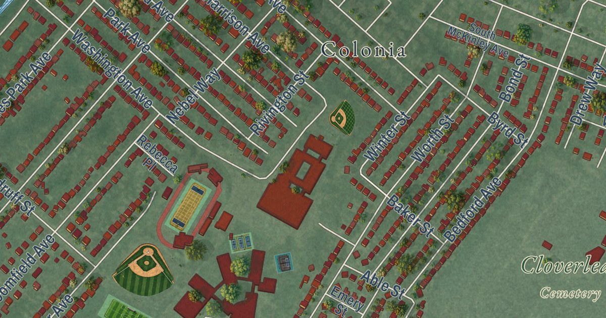
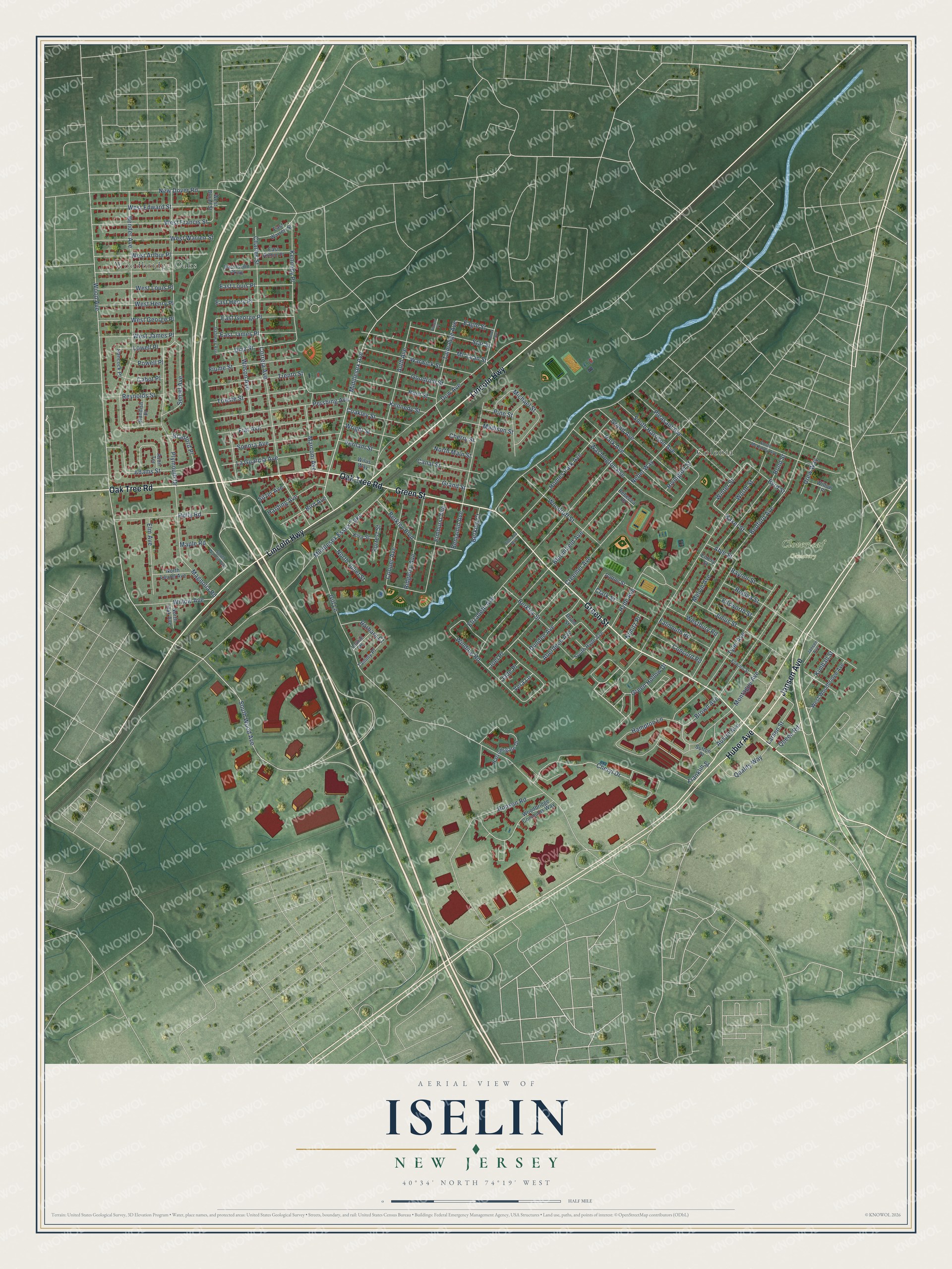
This beautifully detailed map of Iselin, New Jersey was created in 2026 using aerial imagery combined with modern topographical, census, street and landmark data. It’s a one-of-a-kind view of Iselin that combines accurate data with a vintage aesthetic. The map shows every building in its true location, many of the roads carry their names, and the shaded topographic relief shows the shape of the land.
Explore an aerial view of Iselin, New Jersey
On the map you’ll find Cloverleaf Cemetery, Kennedy Park, Colonia, and Woodbridge Oaks, along with Green Street, Lincoln Highway, Oak Tree Road, Jansen Avenue, Huber Avenue, Cheryl Drive, South Wood Avenue, Eagle Street, and more. If you look closely you can even find your house accurately drawn in its correct location. Zoom in on the preview to look for yours.
Take a closer look at the Iselin map
Names on this map
These names are printed on this map.
Places: Cloverleaf Cemetery, Woodbridge Oaks and Colonia.
Streets and roads: Green Street, Lincoln Highway, Oak Tree Road, Jansen Avenue, Huber Avenue, Cheryl Drive, South Wood Avenue, Eagle Street, Middlesex Avenue, Wood Avenue, Gill Lane, Bender Avenue.
More street names, A to Z
Aberdeen Avenue, Able Street, Adams Street, Austin Avenue, Auth Avenue, Avon Terrace, Baker Street, Barbara Court, Bedford Avenue, Benjamin Avenue, Berkley Boulevard, Berkley Court, Berkley Street, Bird Avenue, Block Avenue, Bloomfield Avenue, Bond Street, Bradford Place, Brown Avenue, Byrd Street, Cabot Place, Canal Street, Charles Street, Cherry Street, Clark Street, Coakley Street, Concord Road, Cooper Avenue, Correja Avenue, Creemer Avenue, Diaz Street, Dow Avenue, Drew Way, Drum Street, Dundee Avenue, East Arthur Place, East George Place, East Henry Place, East Iselin Parkway, East James Place, East Louis Place, East Warren Street, Edward Street, Elizabeth Avenue, Ellsworth Street, Elm Avenue, Elmhurst Avenue, Emery Street, Falmouth Road, Fiat Avenue, Fiume Street, Forrest Street, Franklin Street, Gateway Avenue, Goodrich Street, Grand Avenue, Grand Street, Green Hollow Drive, Hampton Lane, Hancock Place, Harding Avenue, Harrowsgate Drive, Holly Road, Homes Park Avenue, Hunt Street, Hyde Avenue, Indiana Avenue, Jade Place, Joel Place, Julius Street, Kennedy Place, Kennedy Street, Kimball Street, Kiva Street, La Guardia Avenue, Larsen Street, Laurie Place, Lowell Place, Madison Street, Magnolia Road, Maple Road, Marconi Avenue, Mc Lean Street, Melvin Avenue, Michael Street, Middlesex Essex Turnpike, Montague Avenue, Nebel Way, New Dover Road, Nimitz Place, North Juliet Street, North Laurel Avenue, North Main Street, North Oak Avenue, Park Avenue, Patton Street, Pershing Avenue, Pine Street, Pleasant Avenue, Plymouth Drive, Powell Place, Quality Way, Queen Road, Raynor Street, Rebecca Place, Regina Street, Reynolds Street, Ridgeley Avenue, Rivington Street, Ronson Road, Semel Avenue, Silzer Avenue, Sonora Avenue, South Harrison Avenue, South Hyde Avenue, South McKinley Avenue, South Walnut Avenue, Standish Place, Star Street, Sutton Place, Talmadge Avenue, Tammy Place, Trento Street, Trieste Street, Tyler Avenue, Vera Lane, Vernam Street, Vincent Place, Warwick Street, Washington Avenue, West Arthur Place, West Broad Street, Westbury Road, West Edward Street, West Francis Street, West George Place, West Henry Place, West James Place, West Louis Place, West Warren Street, West Woodbridge Avenue, Willow Avenue, Willow Place, Wilson Avenue, Wilus Way, Winding Road, Winter Street, Woodbridge Commons Way, Woodruff Street, Worth Street, Wright Street.
See it on a wall
The Iselin map as an 18 x 24 inch print in a black frame.

This beautifully detailed map of Iselin makes an attractive addition to your office, library, or den, and it can even be used to teach children the geography and history of the area. It also makes a great gift for anyone who grew up in Iselin or moved away. When you’re done exploring, click here to get your copy of the Iselin map.