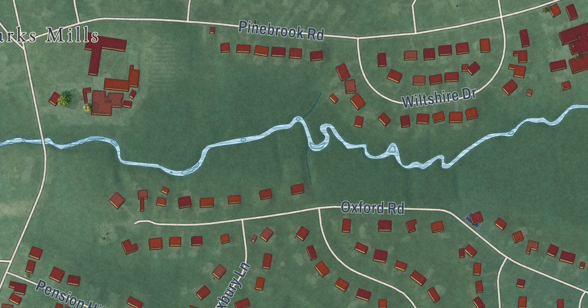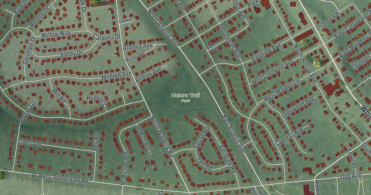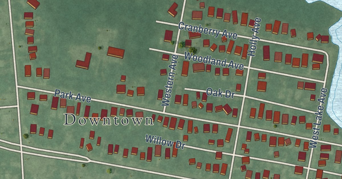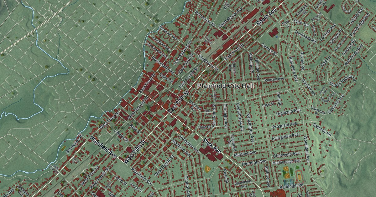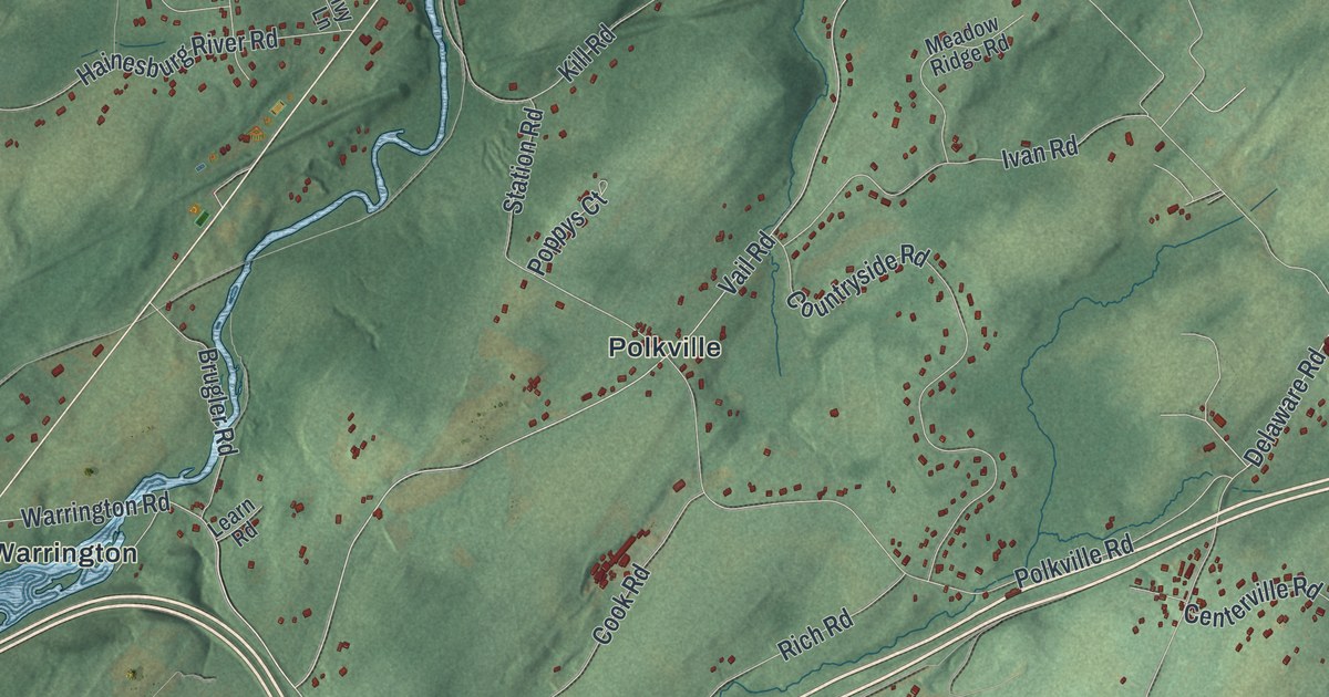
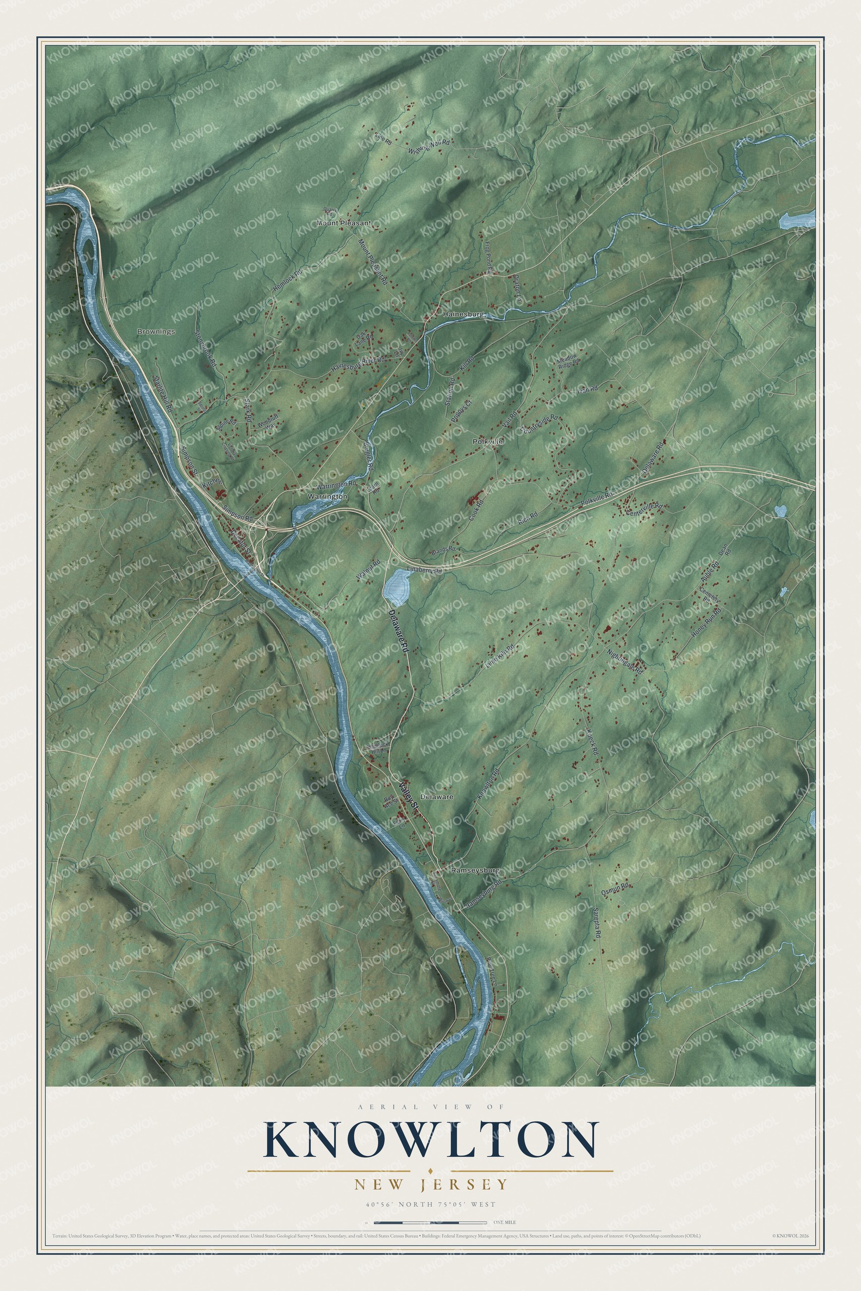
This beautifully detailed map of Knowlton, New Jersey was created in 2026 using aerial imagery combined with modern topographical, census, street and landmark data. It’s a one-of-a-kind view of Knowlton that combines accurate data with a vintage aesthetic. The map shows every building in its true location, many of the roads carry their names, and the shaded topographic relief shows the shape of the land.
Explore an aerial view of Knowlton, New Jersey
On the map you’ll find Brownings, Delaware, Hainesburg, Mount Pleasant, Polkville, Ramseysburg, and Warrington, along with Delaware Road, Valley Street, Vail Road, Polkville Road, Simpson Road, and more. If you look closely you can even find your house accurately drawn in its correct location. Zoom in on the preview to look for yours.
Did You Know?
Columbia is a village inside Knowlton Township. In 1909, the power company Jersey Central Power and Light dammed the Paulins Kill there to make electricity, creating Columbia Lake. The dam came out in 2018 so fish could travel the stream again and its habitat could improve.
Take a closer look at the Knowlton map
Names on this map
These names are printed on this map.
Places: Brownings, Delaware, Hainesburg, Mount Pleasant, Polkville, Ramseysburg and Warrington.
Streets and roads: Delaware Road, Valley Street, Vail Road, Polkville Road, Simpson Road, Simpson Street, Auble Road, Decatur Street, Warrington Road, Honey Run Road, Knowlton Road, Mount Pleasant Road.
More street names, A to Z
Alpine Road, Autumn Road, Brands Road, Brugler Road, Cemetery Road, Centerville Road, Cook Road, Countryside Road, Dean Road, Ferry Lane, Frog Pond Road, Hainesburg River Road, Hemlock Hill Lane, Hemlock Road, Ivan Road, Ivy Lane, Kill Road, Kitchen, Koeck Road, Learn Road, Lime Kiln Road, Linaberry Road, Line Road, Meadow Ridge Road, Nightingale Road, Oak Lane Road, Oraton Lane, Osmun Road, Pine Tree Lane, Poppys Court, Quarry Road, Ramseyburg Road, Rich Road, Roy Ace Street, Sarepta Road, Spring Street, Stark Road, Starlite Hill Road, Station Road, Stonybrook Road, Sycamore Street, Victoria Crossing Road, Walnut Road, Washington Street, Willow Lane, Wishing Well Road, Woodruff Way.
See it on a wall
The Knowlton map as an 18 x 24 inch print in a black frame.

This beautifully detailed map of Knowlton makes an attractive addition to your office, library, or den, and it can even be used to teach children the geography and history of the area. It also makes a great gift for someone who left Knowlton and still calls it home. When you’re done exploring, click here to get your copy of the Knowlton map.