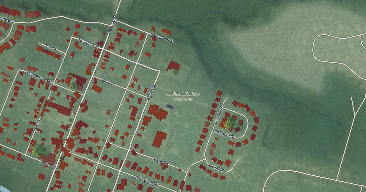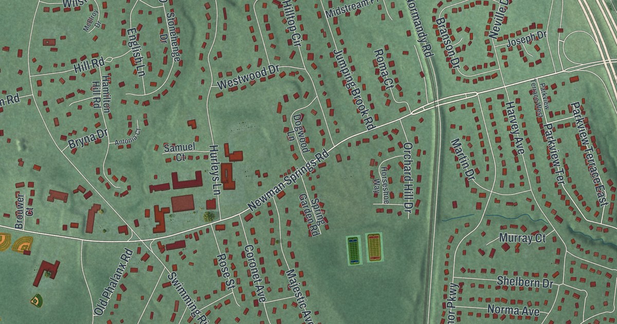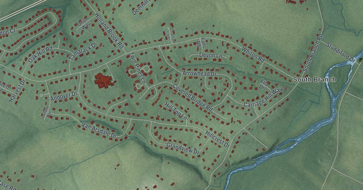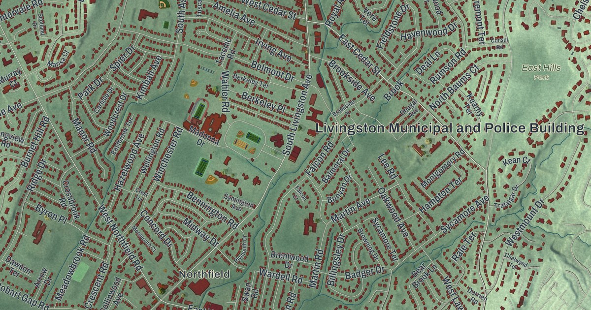
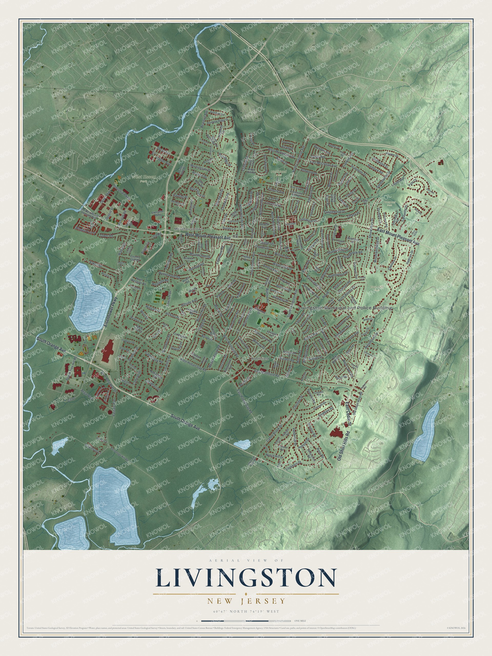
This beautifully detailed map of Livingston, New Jersey was created in 2026 using aerial imagery combined with modern topographical, census, street and landmark data. It’s a one-of-a-kind view of Livingston that combines accurate data with a vintage aesthetic. The map shows every building in its true location, many of the roads carry their names, and the shaded topographic relief shows the shape of the land.
Explore an aerial view of Livingston, New Jersey
On the map you’ll find Livingston Municipal and Police Building, Northfield, Morehousetown, East Hills Park, Northland Park, Prospect Park, and West Essex Park, along with South Orange Avenue, West Mount Pleasant Avenue, East Mount Pleasant Avenue, East Cedar Street, Eisenhower Parkway, and more. If you look closely you can even find your house accurately drawn in its correct location. Zoom in on the preview to look for yours.
Did You Know?
Livingston takes its name from William Livingston, who became New Jersey’s first governor. Back in 1745, he took the side of local settlers against the East Jersey proprietors. He defended settlers jailed for refusing to pay quit rents. Their protest, the Horseneck Riots, lasted until 1755, and the group joined the Continental Army in 1776.
Take a closer look at the Livingston map
Names on this map
These names are printed on this map.
Places: Livingston Municipal and Police Building, Northfield, Morehousetown, East Hills Park, Northland Park, Prospect Park and West Essex Park.
Streets and roads: South Orange Avenue, West Mount Pleasant Avenue, East Mount Pleasant Avenue, East Cedar Street, Eisenhower Parkway, Old Short Hills Road, South Livingston Avenue, North Livingston Avenue, East Hobart Gap Road, Beaufort Avenue, Walnut Street, West Northfield Road.
More street names, A to Z
Alcott Drive, Alpine Way, Amelia Avenue, Apple Tree Court, Arden Road, Arrow Drive, Ashwood Drive, Aspen Drive, Badger Drive, Baker Road, Balmoral Drive, Bear Brook Lane, Belmont Drive, Belvidere Drive, Bennington Road, Berkeley Place, Berkeley Terrace, Billingsley Drive, Binghamton Lane, Birchwood Drive, Blackstone Drive, Bonnyview Drive, Boulderwood Drive, Brandon Avenue, Brayton Road, Brentwood Drive, Briar Cliff Road, Briggs Circle, Bristol Court, Broadlawn Drive, Brook, Brookside Avenue, Brookside Place, Browning Drive, Bryant Drive, Bunyan Drive, Burlington Road, Burnet Hill Road, Burnet Street, Bushkill Drive, Byron Place, Camelot Drive, Canoe Brook Drive, Canterbury Road, Carillon Circle, Carlisle Drive, Chadwick Road, Champion Boulevard, Charles Street, Chelsea Drive, Cherry Hill Road, Chestnut Street, Chetwynd Terrace, Cit Drive, Claremont Avenue, Cliffside Drive, Clover Lane, Cobblewood Road, Coddington Terrace, Collinwood Avenue, Columbia Road, Concord Drive, Consul Road, Cornell Drive, Country Club Court, Country Club Road, Countryside Drive, Coventry Road, Creighton Drive, Crescent Road, Crest Terrace, Crestview Hill Road, Crossbrook Road, Culver Road, Dartmouth Court, Daven Avenue, Dawson Terrace, Deal Lane, Deerfield Road, Devonshire Road, Dickinson Lane, Dorothy Avenue, Dorrien Road, Dorsa Avenue, Dougal Avenue, Downing Place, Driftwood Drive, Drummond Terrace, Eastbrook Terrace, East Drive, East McClellan Avenue, East Northfield Road, Edgemere Road, Elmwood Drive, Ely Court, Eton Road, Executive Parkway, Fairfax Drive, Falcon Court, Falcon Road, Fawn Drive, Fellswood Drive, Fieldstone Drive, Filmore Avenue, Force Hill Road, Fordham Road, Foxcroft Drive, Franklin Avenue, Fredon Drive, Garnet Terrace, Goodhart Drive, Grand Terrace, Graymoor Road, Hadrian Drive, Hampton Terrace, Harding Place, Harvest Lane, Hastings Lane, Havenwood Drive, Hawthorne Drive, Hazel Avenue, Hazelwood Avenue, Hearthstone Terrace, Hemlock Road, Herbert Terrace, Heron Road, Hickory Place, Highland Drive, Highview Drive, Hillside Avenue, Hillside Terrace, Hobson Drive, Homestead Terrace, Industrial Parkway, Intervale Road, Iroquois Drive, Irving Avenue, Jefferson Court, Kean Court, Kearny Terrace, Kensington Lane, Keyes Road, Kimball Avenue, Kinkead Drive, Knollwood Drive, Lafayette Drive, Langtree Drive, Laurel Avenue, Lee Road, Lincoln Avenue, Lockhern Drive, Locust Place, Longacre Drive, Longview Road, Madonna Drive, Manor Road, Marisa Court, Martin Avenue, Martin Road, Mayhew Drive, Meadowbrook Road, Melrose Drive, Michelle Lane, Microlab Road, Midway Drive, Millbrook Court, Millstone Drive, Mohawk Drive, Monmouth Court, Montgomery Road, Morningside Drive, Mountain Ridge Drive, Mounthaven Drive, Murray Court, Naylon Avenue, Naylon Place, North Ashby Avenue, North Baums Court, North Drive, Northfield Court, North Hillside Avenue, North Mitchell Avenue, North Ridge Road, North Rockledge Drive, North Westgate Road, Notch Hill Drive, Nottingham Road, Oak Street, Oakwood Avenue, Okner Parkway, Old Road, Old West Mount Pleasant Avenue, Orchard Lane, Overlook Road, Page Place, Palmer Drive, Park Drive, Parsonage Hill Road, Passaic Avenue, Peach Tree Hill Road, Penwood Road, Plymouth Drive, Pointe Gate Drive, Post Lane, Preston Drive, Princeton Road, Prospect Road, Putnam Road, Rainbow Ridge Drive, Rale Terrace, Regal Boulevard, Regent Street, Relkin Road, Ridge Drive, Ridgewood Drive, Riker Hill Road, Rockhill Drive, Rockledge Drive, Rosedale Terrace, Rossmore Terrace, Ross Road, Royal Avenue, Rumson Road, Saint Barnabas Drive, Sandalwood Drive, Scarsdale Drive, Scotland Drive, Shadowlawn Drive, Sherbrooke Parkway, Shrewsbury Drive, South Ashby Avenue, Spier Drive, Split Rock Road, Springbrook Road, Squier Court, Stonewall Drive, Stratford Drive, Sunshine Lane, Surrey Lane, Swan Road, Sycamore Avenue, Sycamore Terrace, Sykes Avenue, Symington Avenue, Taconic Road, Taft Court, Tamarack Drive, Tanglewood Drive, Tarlton Drive, Thurston Drive, Tiffany Drive, Torrence Drive, Tower Road, Trafalgar Drive, Tremont Terrace, Trinity Drive, Trocha Avenue, Trombley Drive, Troy Drive, Tulip Court, Tuscan Road, Tuxedo Drive, Vanderbilt Drive, Ventnor Place, Vere Terrace, Virginia Avenue, Vista Terrace, Volker Lane, Wahler Road, Wardell Road, Wellington Road, West Cedar Street, West Drive, Westgate Road, West Hobart Gap Road, West Lawn Road, West McClellan Avenue, Westmount Drive, White Oak Drive, White Oak Ridge Road, Wilson Terrace, Winans Road, Winchester Road, Windsor Drive, Wingate Drive, Winged Foot Drive, Winston Drive, Woodcrest Drive, Wychwood Road, Wynnewood Road, Yale Court.
See it on a wall
The Livingston map as an 18 x 24 inch print in a black frame.

This beautifully detailed map of Livingston makes an attractive addition to your office, library, or den, and it can even be used to teach children the geography and history of the area. It also makes a great gift for anyone with Livingston roots. When you’re done exploring, click here to get your copy of the Livingston map.