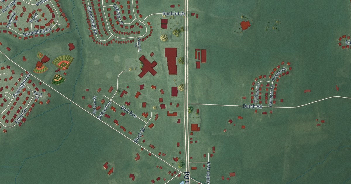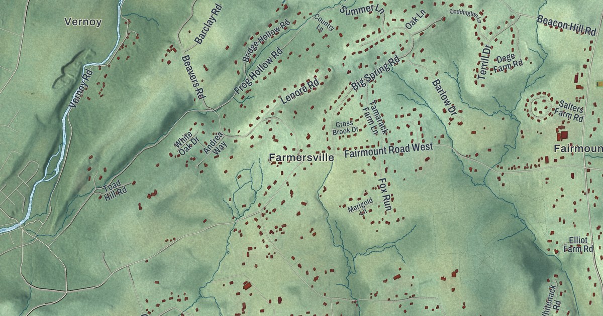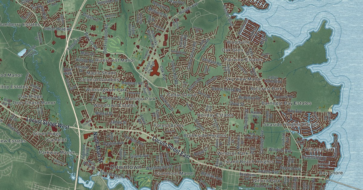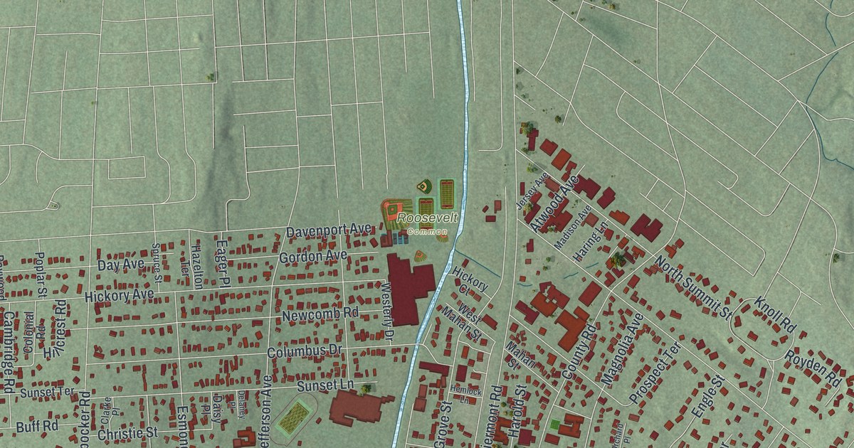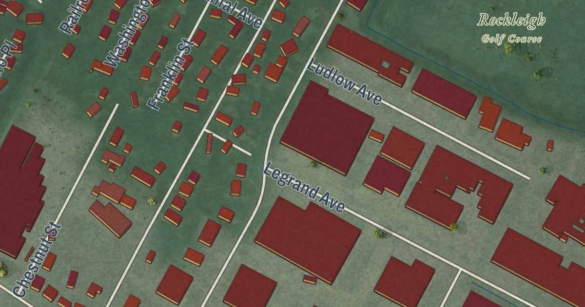
This beautifully detailed map of Northvale, New Jersey was created in 2026 using aerial imagery combined with modern topographical, census, street and landmark data. It’s a one-of-a-kind view of Northvale that combines accurate data with a vintage aesthetic. The map shows every building in its true location, many of the roads carry their names, and the shaded topographic relief shows the shape of the land.
Explore an aerial view of Northvale, New Jersey
On the map you’ll find Wildwood Road, Firenze Street, New York Avenue, Livingston Street, White Avenue, and more. If you look closely you can even find your house accurately drawn in its correct location. Zoom in on the preview to look for yours.
Take a closer look at the Northvale map
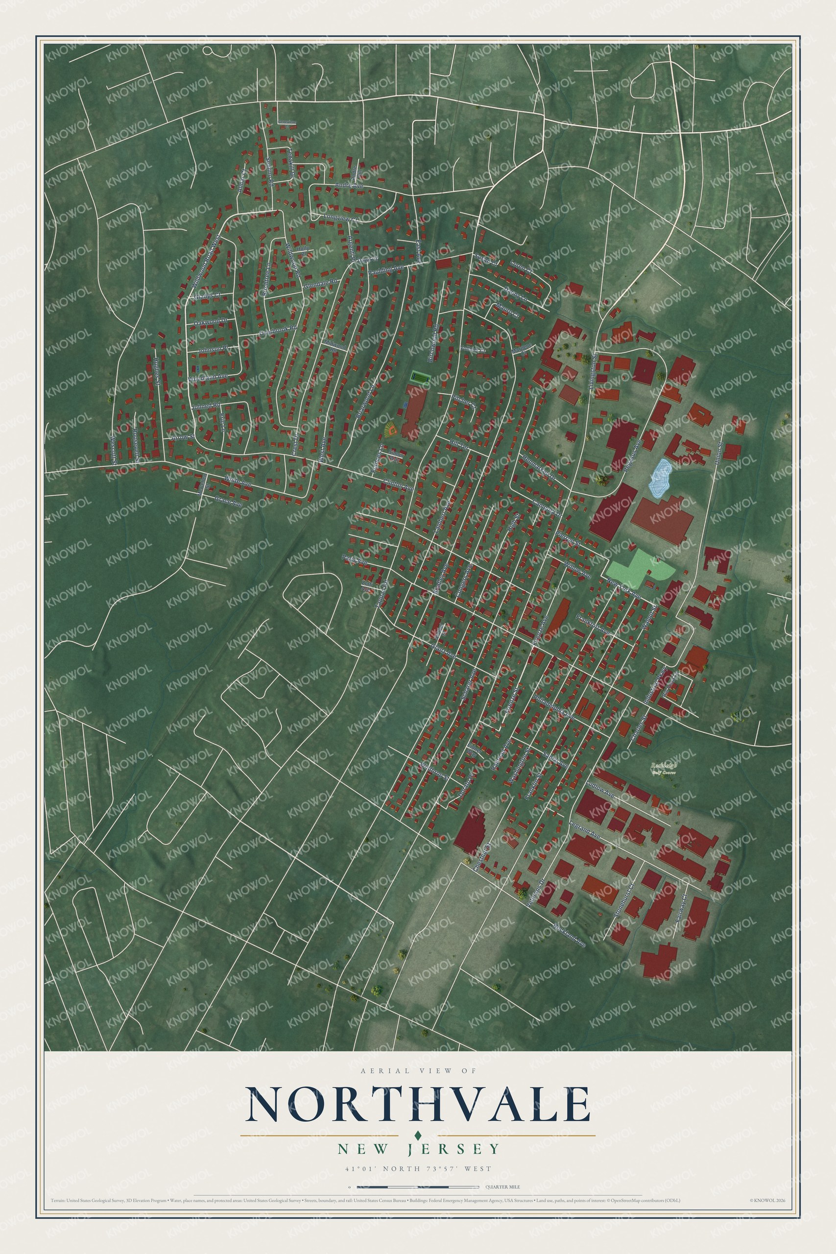
Names on this map
These names are printed on this map.
Places: Rockleigh Golf Course.
Streets and roads: Wildwood Road West, Firenze Street, New York Avenue, Livingston Street, White Avenue, Tappan Road, Paris Avenue, Bradley Avenue, High Street, Walnut Street, Scharer Avenue, Pegasus Avenue.
More street names, A to Z
Almar Court, Andre Avenue, Andre Hill, Argenti Place, Arrow Street, Birchtree Lane, Birchwood Road, Briarwood Lane, Campora Drive, Charles Street, Chestnut Street, Clinton Avenue, Congers Avenue, Crest Drive, Danny Lane, Dawn Court, Dorato Place, East Avenue, Eidner Way, Eric Lane, Fairway Court, Firenze Avenue, Frances Lane, Frankfort Avenue, Franklin Street, Genevieve Court, Gladys Court, Glanz Avenue, Glendale Road, Grace Avenue, Henmarken Drive, Hill Terrace, Holly Place, Hughes Street, Industrial Parkway, Johned Road, Johnson Place, Lambert Avenue, Legrand Avenue, Longview Court, Loren Court, Ludlow Avenue, Margene Court, Mauro Court, McCellen Street, Midwood Road, Oakwood Drive, Overbrook Road, Paulding Avenue, Philadelphia Avenue, Pierron Street, Pitcher Court, Railroad Avenue, Rio Vista Lane, Rockland Avenue, Roosevelt Street, Sanial Avenue, School Street, Semino Road, Simon Way, Stonehurst Court, Susan Court, Tenakill Drive, Union Street, Veterans Drive, Vollmer Court, Washington Street, Wescott Street, West Avenue, Wildwood Road, Willow Avenue, Winthrop Street, Woodland Avenue, Zotti Avenue.
See it on a wall
The Northvale map as an 18 x 24 inch print in a black frame.

This beautifully detailed map of Northvale makes an attractive addition to your office, library, or den, and it can even be used to teach children the geography and history of the area. It also makes a great gift for someone who left Northvale and still calls it home. When you’re done exploring, click here to get your copy of the Northvale map.