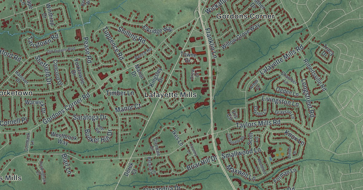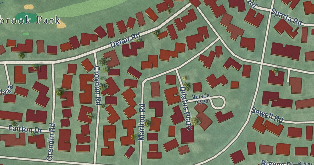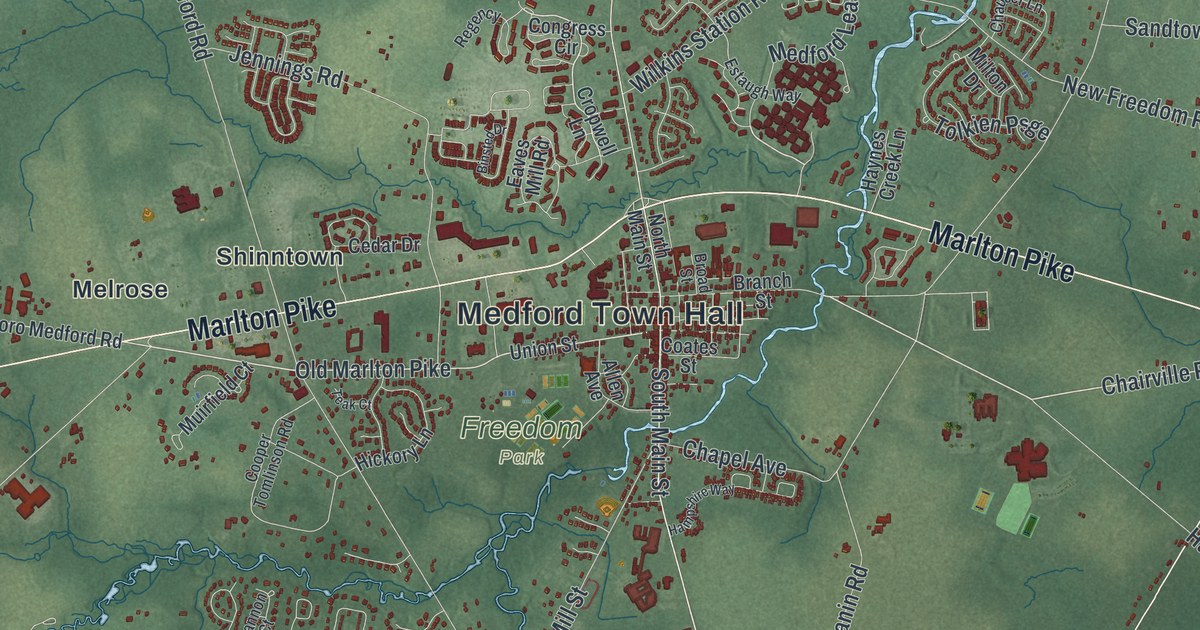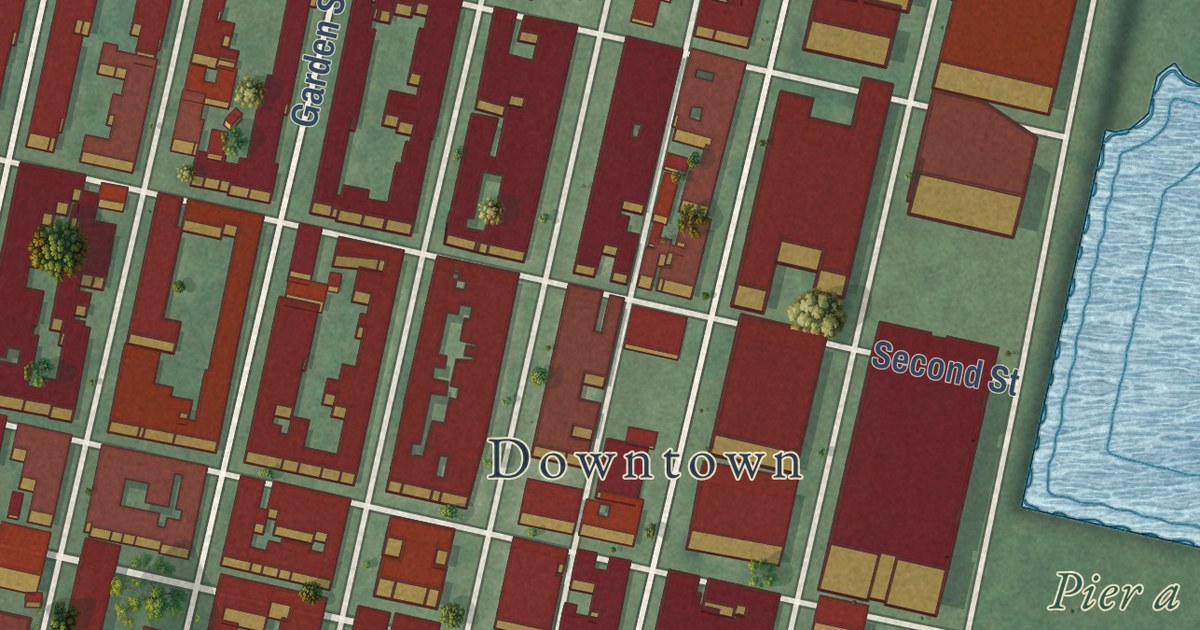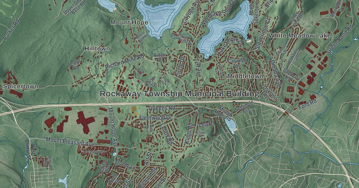
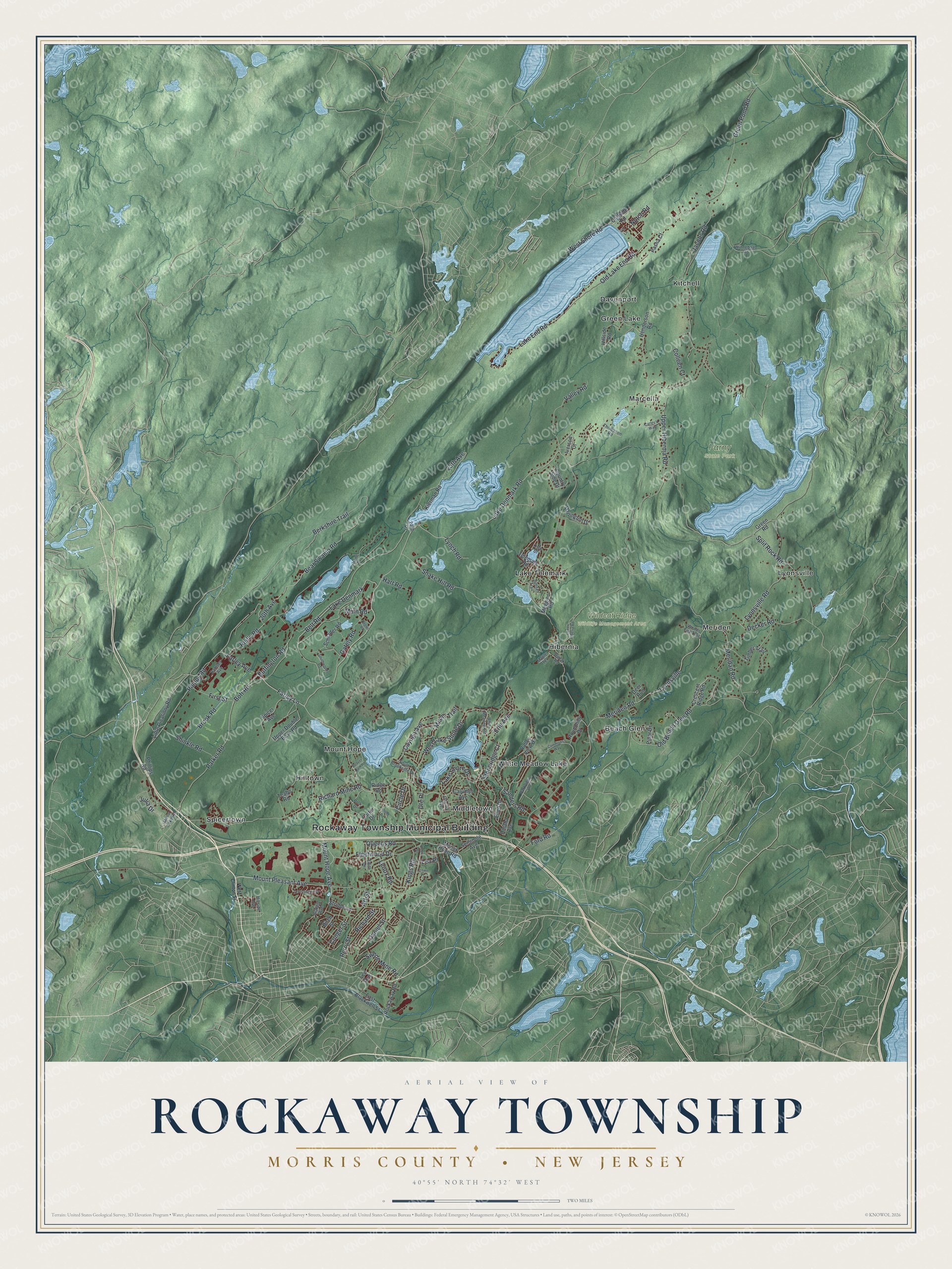
This beautifully detailed map of Rockaway, Morris County, New Jersey was created in 2026 using aerial imagery combined with modern topographical, census, street and landmark data. It’s a one-of-a-kind view of Rockaway that combines accurate data with a vintage aesthetic. The map shows every building in its true location, many of the roads carry their names, and the shaded topographic relief shows the shape of the land.
Explore an aerial view of Rockaway, Morris County, New Jersey
On the map you’ll find Rockaway Township Municipal Building, Beach Glen, Davenport, Green Lake, Hibernia, Hilltown, Farny State Park, and Wildcat Ridge Wildlife Management Area, along with Clinton Street, Lake Denmark Road, Belt Road, Phipps Road, and more. If you look closely you can even find your house accurately drawn in its correct location. Zoom in on the preview to look for yours.
Did You Know?
Rockaway was a mountain village in the narrow valley of the Rockaway River. It was once the center of a thriving iron-mining district. By 1939 most residents worked in three plants. They were a piece dye works, a box factory and a trucking machine plant. That’s from the 1939 WPA guide to New Jersey.
Take a closer look at the Rockaway, Morris County map
Names on this map
These names are printed on this map.
Places: Rockaway Township Municipal Building, Farny State Park, Wildcat Ridge Wildlife Management Area, Kitchell, Spicertown, Beach Glen, White Meadow Lake, Lyonsville, Green Lake, Meriden, Mount Hope, Hibernia, Middletown, Hilltown, Marcella, Lake Telemark and Davenport.
Streets and roads: Lake Denmark Road, Belt Road, Phipps Road, Lake Denmark, West Lake Shore Drive, 20th Avenue, Farley Lane, Farley Avenue, Lake Shore Drive, Reilly Road, Buffington Road, Ute Place.
More street names, A to Z
24th Place, 25th Avenue, Art Street, Bear Swamp Road, Beaver Dam Road, Berkshire Trail, Birch Street, Blakely Avenue, Bott Road, Brook Road, Brown Road, Calumet Avenue, Carley's Way, Carter Drive, Cayuga Avenue, Circle Drive, Cliffside Road, Colleen Court, Commons Way, Conger Street, Country Side Drive, Craine Road, Crescent Ridge Road, Crown Place, Daniel Street, Darlington Drive, Decker Road, Deer Run, Dudak Road, East Blackwell Street, Edith Drive, Ellen Drive, Erie Avenue, First Street, Fleetwood Drive, Ford Road, Gately Road, Green Pond Road, Green Road, Hart Road, Henderson Road, Hillside Avenue, Hillside Road, Iverson Court, Jacobs Road, Julia Drive, Kierman Road, Kings Road, Lake End Road, Lea Place, Lee Avenue, Lenox Road, Little Picatinny Road, Lower Hiberia Road, Lynch Road, Lyonsville Road, Main Road, Maple Terrace, Meggins Road, Meridan Road, Meriden Road, Miami Trail, Mirror Lake Road, Mount Hope Avenue, Mount Hope Road, Mount Pleasant Avenue, Notch Road, Old Beach Glen Road, Old Lake End Road, Old Lane, Omaha Avenue, Oneida Avenue, Oslo Drive, Parker Road, Parkview Lane, Pasha Court, Perry Street, Phillips Road, Pillar Drive, Polk Drive, Pond Road, Queens Road, Ramsey Avenue, Richard Mine Road, Richard Street, Ridge Road, Robin Street, Rockaway Road, Roundhill Drive, Sanders Road, Schrader Road, Seminole Avenue, Shinkle Road, Snake Hill Road, South Brookside Drive, Southwoods Road, Spicer Avenue, Split Rock Road, Stoneridge Court, Struble Lane, Sunset Trail, Swede Mine Road, Teabo Road, Telemark Road, Thompson Road, Timber Trail, Town Square Drive, Upper Double Base Road, Upper Hibernia Road, Valley Road, Valley View Drive, West Clinton Street, West Shore Road, White Meadow Road, Winnebago Road, Woods End Trail.
See it on a wall
The Rockaway Township, Morris County map as an 18 x 24 inch print in a black frame.

This beautifully detailed map of Rockaway, Morris County makes an attractive addition to your office, library, or den, and it can even be used to teach children the geography and history of the area. It also makes a great gift for someone who left Rockaway and still calls it home. When you’re done exploring, click here to get your copy of the Rockaway, Morris County map.