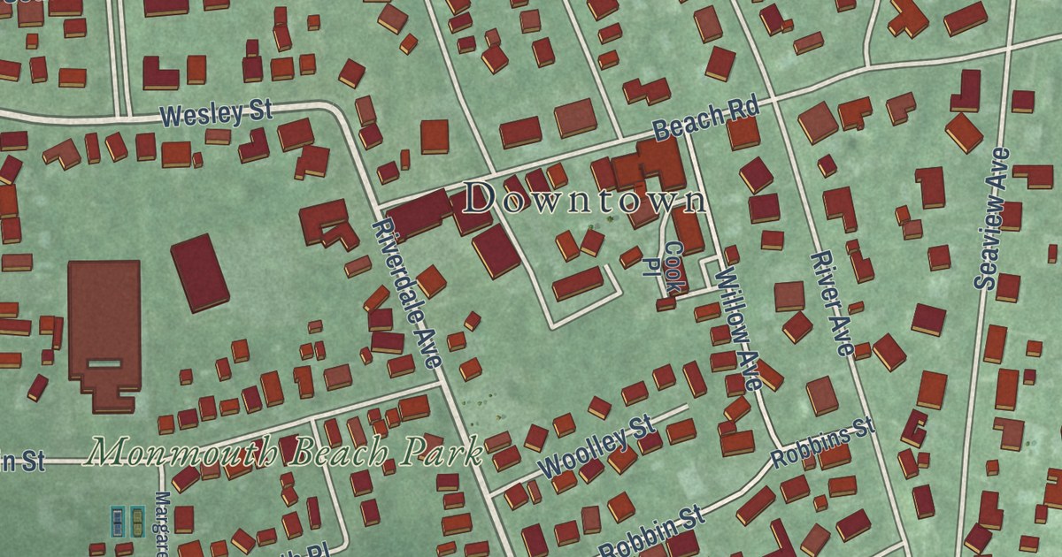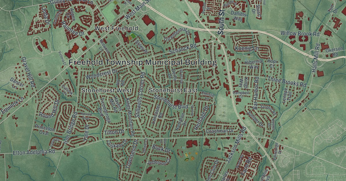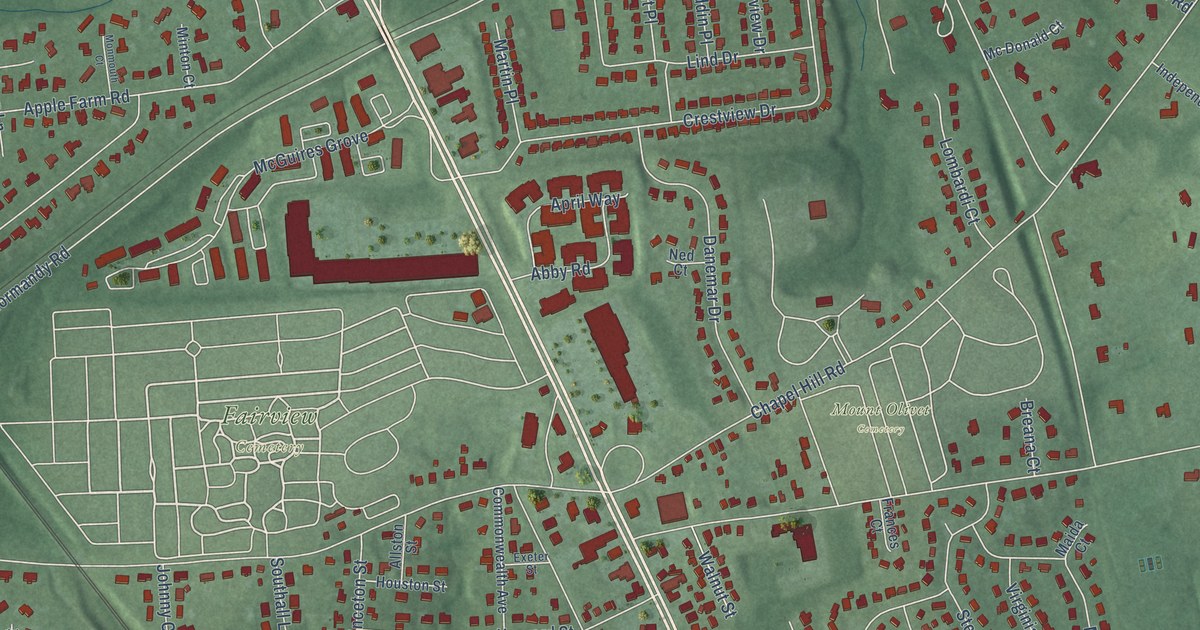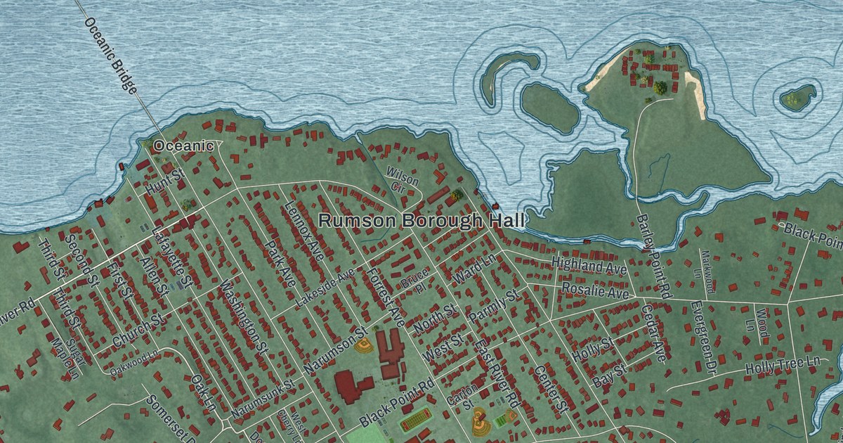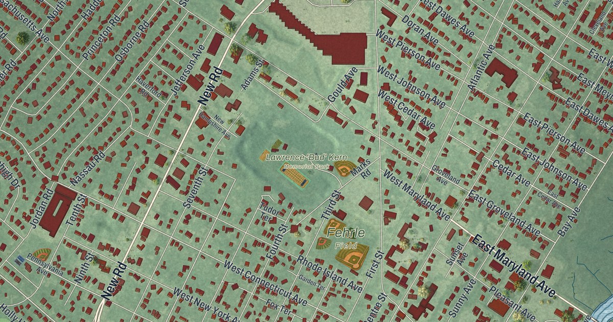
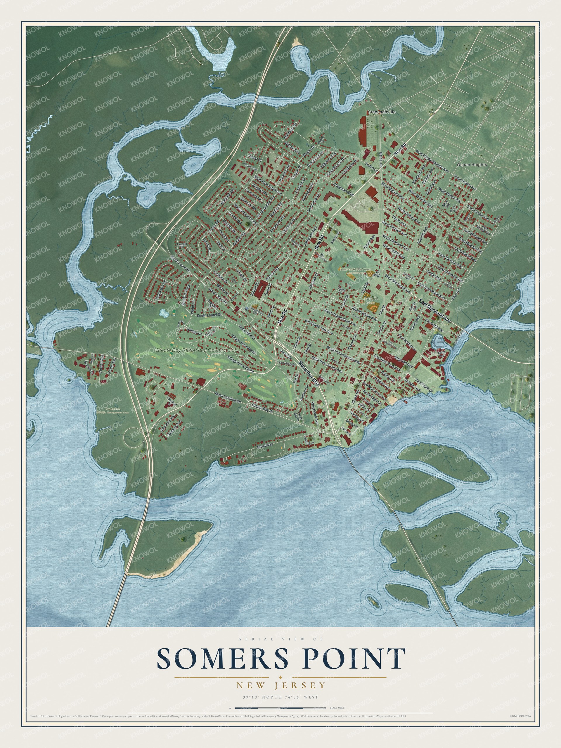
This beautifully detailed map of Somers Point, New Jersey was created in 2026 using aerial imagery combined with modern topographical, census, street and landmark data. It’s a one-of-a-kind view of Somers Point that combines accurate data with a vintage aesthetic. The map shows every building in its true location, many of the roads carry their names, and the shaded topographic relief shows the shape of the land.
Explore an aerial view of Somers Point, New Jersey
On the map you’ll find Ocean Heights, Steelmanville, Lawrence ‘Bud’ Kern Memorial Park, and Tuckahoe Wildlife Management Area, along with Macarthur Boulevard, New Road, Maryland Avenue, Shore Road, Mays Landing Road, and more. If you look closely you can even find your house accurately drawn in its correct location. Zoom in on the preview to look for yours.
Did You Know?
Navy officer Richard Somers was born in Somers Point. In 1804 he commanded the Intrepid, a vessel loaded with explosives, sent to destroy the enemy fleet at Tripoli. Under fire, the Intrepid blew to pieces. Somers and 12 other men were killed. That’s from the 1939 WPA guide to New Jersey.
Take a closer look at the Somers Point map
Names on this map
These names are printed on this map.
Places: Ocean Heights, Lawrence 'Bud' Kern Memorial Park, Tuckahoe Wildlife Management Area, Fehrle Field, Steelmanville and Greate Bay Resort and Country Club.
Streets and roads: Macarthur Boulevard, New Road, East Maryland Avenue, Shore Road, Mays Landing Road, West Laurel Drive, Village Drive, North Laurel Drive, Violet Lane, Bala Drive, Bay Avenue, Chapman Boulevard.
More street names, A to Z
Adams Street, Ambler Road, Anchorage Lane, Annie Avenue, Atkinson Avenue, Atlantic Avenue, Bayside Drive, Bethel Road, Bliss Avenue, Braddock Drive, Brighton Avenue, Broadway, Bucknell Road, Buffalo Avenue, Cedar Avenue, Cedar Court, Centre Street, Chestnut Street, Cleveland Avenue, Clivden Avenue, Colgate Road, Colwick Drive, Cooper Drive, Cornell Road, Crestmont Drive, Crestview Drive, Dartmouth Road, Decatur Avenue, Defeo Lane, Delaware Avenue, Devon Road, Dobbs Avenue, Dogwood Drive, Doran Avenue, East Cedar Avenue, East Connecticut Avenue, East Dawes Avenue, East Groveland Avenue, East Harbor Lane, East Harned Avenue, East Johnson Avenue, East Meyran Avenue, East New Jersey Avenue, East New York Avenue, East Ocean Avenue, East Pierson Avenue, East Village Drive, East Wilmont Avenue, Edgewood Drive, Euclid Avenue, Exton Road, Farragut Road, Fifth Street, First Street, Fourth Street, Fox Terrace, Franklin Drive, Garden Terrace, George Street, Gibbs Avenue, Goll Avenue, Gould Avenue, Great Bay Drive, Greate Bay Drive, Groveland Avenue, Gulph Mill Road, Haddon Road, Hamilton Drive, Harrison Avenue, Haverford Road, Higbee Avenue, Holly Hills Drive, Horter Avenue, Jefferson Avenue, Jordan Road, Landing Lane, Lantern Lane, Launch Avenue, Laurel Drive, Lehigh Drive, Marks Road, Massachusetts Avenue, Merion Drive, Miller Lane, Nassau Road, New Hampshire Avenue, Ninth Street, North Ambler Road, Northview Drive, Ocean Heights Avenue, Osborne Road, Oxford Drive, Pacific Avenue, Par Drive, Paul Clark Drive, Pennsylvania Avenue, Penny Lane, Pleasant Avenue, Princeton Road, Rhode Island Avenue, Roberts Avenue, Rutgers Road, Schoolhouse Drive, Second Street, Seventh Street, Sixth Street, Somers Avenue, South Holly Hills Drive, South Laurel Drive, Southview Drive, Stanford Road, Steelman Avenue, Sunny Avenue, Sunset Avenue, Tenth Street, Third Street, Tudor Terrace, Vassar Drive, Village Drive North, Village Drive South, Warwick Avenue, Wayne Drive, West Cedar Avenue, West Connecticut Avenue, West Dawes Avenue, West Groveland Avenue, West Johnson Avenue, West Maryland Avenue, West Meyran Avenue, West New Jersey Avenue, West New York Avenue, West Ocean Avenue, West Ocean Heights Avenue, West Pennsylvania Avenue, West Pierson Avenue, West Wilmont Avenue, Whitman Drive, Wilson Avenue, Wisteria Walk, Woodland Avenue, Woodlawn Avenue, Woodlot Court, Yacht Avenue, Yale Boulevard.
See it on a wall
The Somers Point map as an 18 x 24 inch print in a black frame.

This beautifully detailed map of Somers Point makes an attractive addition to your office, library, or den, and it can even be used to teach children the geography and history of the area. It also makes a great gift for anyone with Somers Point roots. When you’re done exploring, click here to get your copy of the Somers Point map.