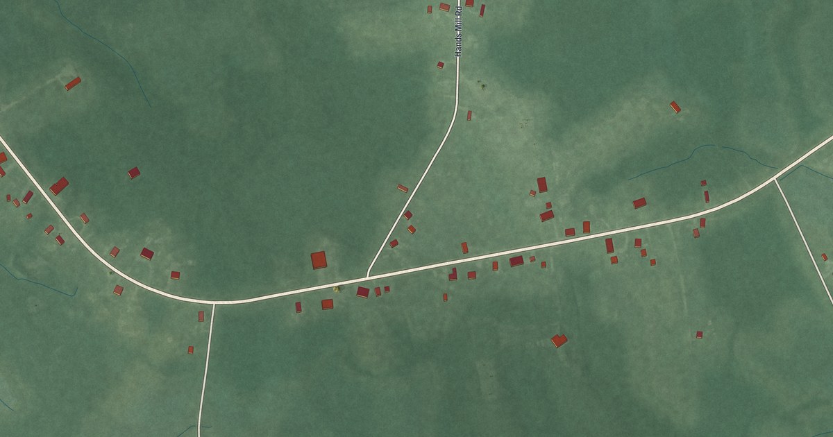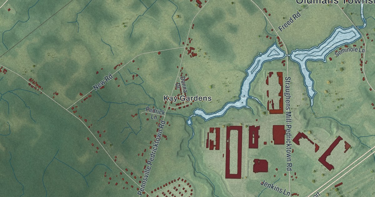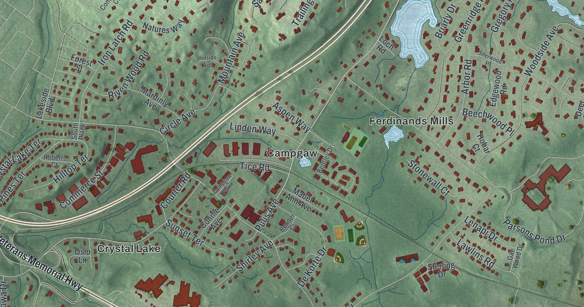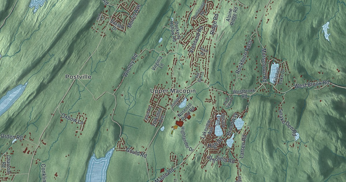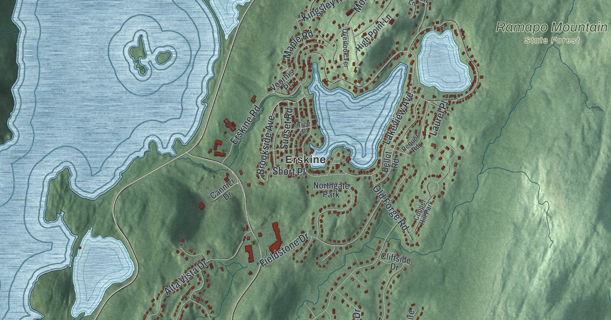
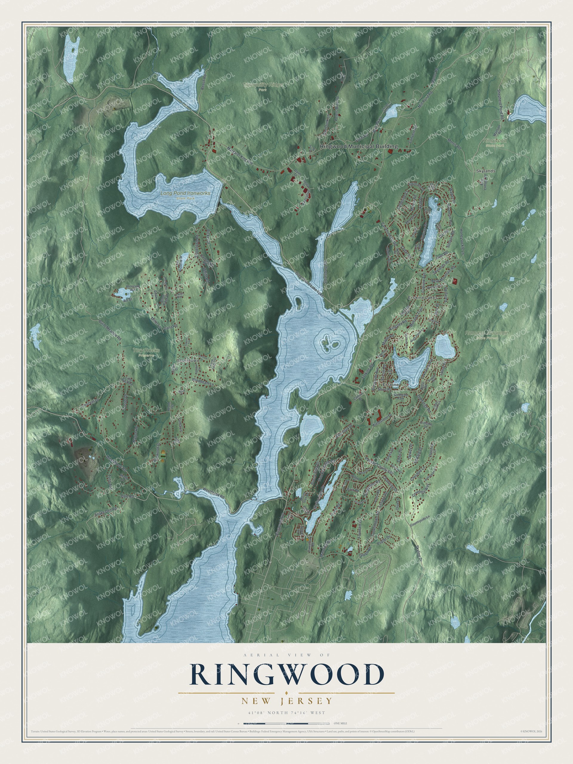
This beautifully detailed map of Ringwood, New Jersey was created in 2026 using aerial imagery combined with modern topographical, census, street and landmark data. It’s a one-of-a-kind view of Ringwood that combines accurate data with a vintage aesthetic. The map shows every building in its true location, many of the roads carry their names, and the shaded topographic relief shows the shape of the land.
Explore an aerial view of Ringwood, New Jersey
On the map you’ll find Ringwood Municipal Building, Erskine, Erskine Lakes, Skylands, Stonetown, Long Pond Ironworks State Park, Ramapo Mountain State Forest, Tory Rocks Preserve, and Tranquility Ridge Park, along with Greenwood Lake Turnpike, Westbrook Road, Shepherd Pond Road, Snake Den Road, and more. If you look closely you can even find your house accurately drawn in its correct location. Zoom in on the preview to look for yours.
Did You Know?
Colonists found iron in the Ringwood hills early in the 1700s. In 1742, the Ogden family opened a blast furnace here. By 1765, Peter Hasenclever ran a huge iron business from Ringwood, with 150,000 acres stretching as far as Nova Scotia. Robert Erskine later directed the ironworks through the Revolutionary War.
Take a closer look at the Ringwood map
Names on this map
These names are printed on this map.
Places: Ringwood Municipal Building, Long Pond Ironworks State Park, Ramapo Mountain State Forest, Ringwood State Park, Tory Rocks Preserve, Tranquility Ridge Park, Erskine, Erskine Lakes, Skylands, Stonetown, Northgate Park and Copper Hill Park.
Streets and roads: Greenwood Lake Turnpike, Westbrook Road, Shepherd Pond Road, Snake Den Road, Ringwood Avenue, Boro Parkway, Cupsaw Drive, West Brook Road, Manor Road, Stonetown Road, Lakeview Avenue, Passaic County 692.
More street names, A to Z
Algonquin Terrace, Alta Vista Drive, Anderson Avenue, Arrow Head Trail, Art Street, Aspen Road, Bear Mountain Road, Beech Road, Bellot Road, Birch Road, Brookside Avenue, Buena Vista Drive, Burnt Meadow Road, Cable House Road, Cannici Drive, Canterbury Road, Carletondale Road, Catherine Court, Cedar Road, Channing Drive, Chelshire Lane, Cheshire Lane, Chicken House Road, Choctaw Trail, Chris Terrace, Cliffside Drive, Colfax Drive, Conklintown Road, Convent Road, Countryside Lane, Coventry Way, Crag Place, Crescent Drive, Cupsaw Avenue, Custer Drive, Dale Road, Daret Drive, Darmstatter Road, Dawn Lane, Dewey Drive, Duffy Road, East Cottage Road, East Point, Edward Drive, Erskine Road, Executive, Farm Road, Fieldstone Drive, Finch Road, Fountain Drive, Ganz Road, Glen Road, Green Road, Hickory Road, High Point Lane, Honeysuckle Lane, Iroquois Trail, James Drive, Judith Ann Drive, Kendall Drive, Kingsley Road, Kraft Place, Lake Riconda Drive, Lakeview Road, Laurel Place, Le Boun Boulevard, Lenape Road, Little Big Horn, Longview Lane, Magee Road, Manning Road, Mansion Road, Maple Road, Marcia Road, Margaret King Avenue, Maria Court, Miller Lane, Mill Pond Road, Mohawk Trail, Monksville Court, Morris Road, Mountain Glen Road, Mount Glen Road, Nottingham Court, Oakwood Drive, Old Forge Road, Old Road, Olive Lane, Overlook Terrace, Pequot Road, Peters Mine Road, Petzold Avenue, Pima Court, Pinewood Drive, Poplar Drive, Ricker Drive, Seminole Drive, Serpentine Road, Shady Lane, Short Place, Skylands Road, Skyline Drive, Skyline Lake Drive, Sloatsburg Road, Smokey Ridge Road, Stetson Road, Stone Ridge Drive, Sunset Road, Sylvan Lane, Terrace Lane, The Loop, Tice Place, Tulip Avenue, Valley Road, Vanatta Drive, Van Dunk Lane, Vanessa Lane, Victoria Lane, Voorhis Place, Walker Drive, Wanaque Terrace, Weir Place, Welch Road, West Circle, White Road, Willow Place, Windbeam Avenue, Windbeam Lane, Wood Terrace, Yuma Lane.
See it on a wall
The Ringwood map as an 18 x 24 inch print in a black frame.

This beautifully detailed map of Ringwood makes an attractive addition to your office, library, or den, and it can even be used to teach children the geography and history of the area. It also makes a great gift for someone who left Ringwood and still calls it home. When you’re done exploring, click here to get your copy of the Ringwood map.