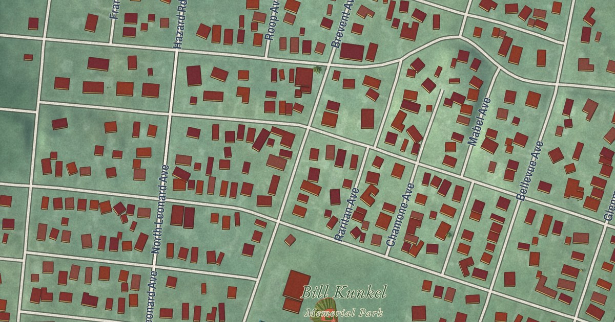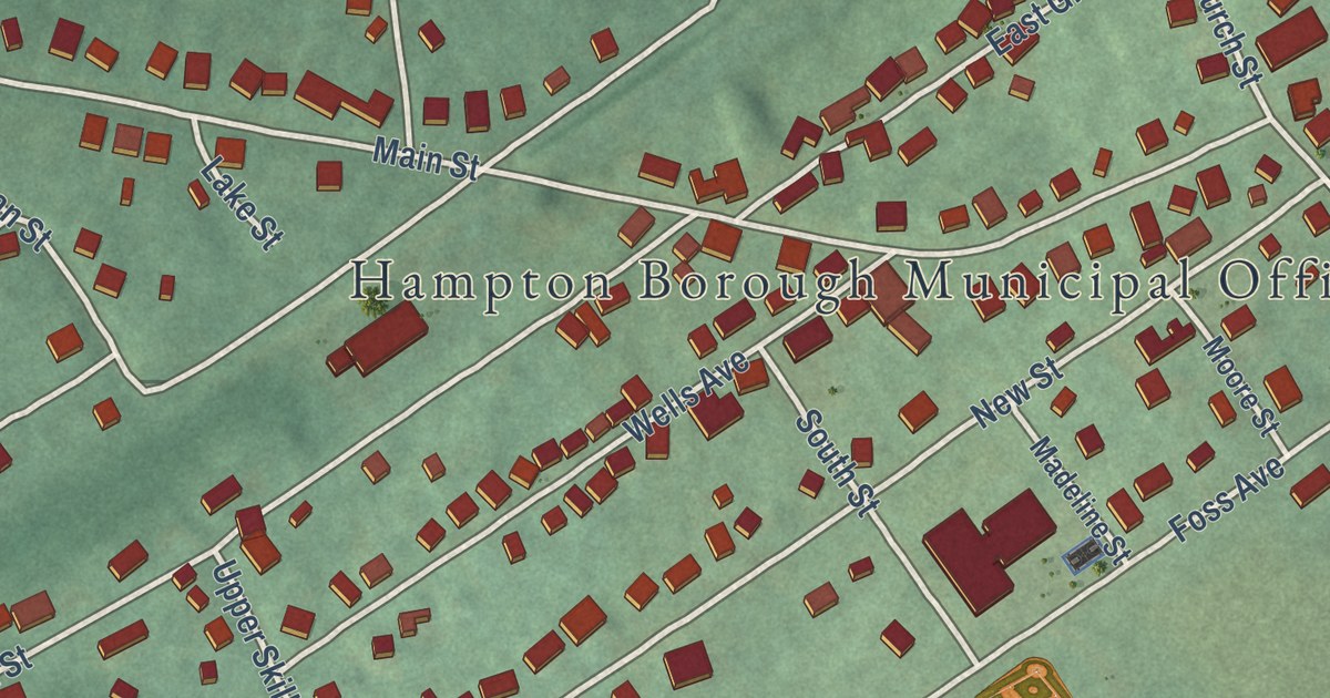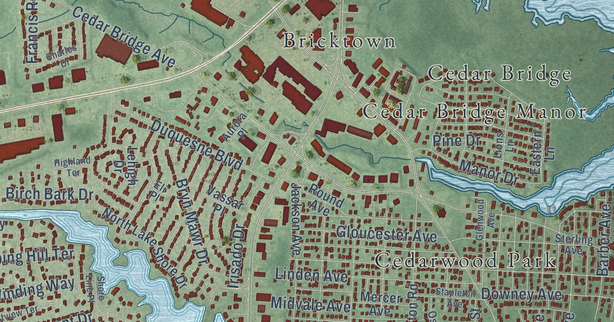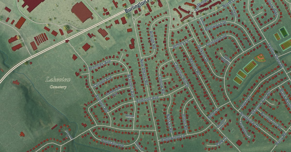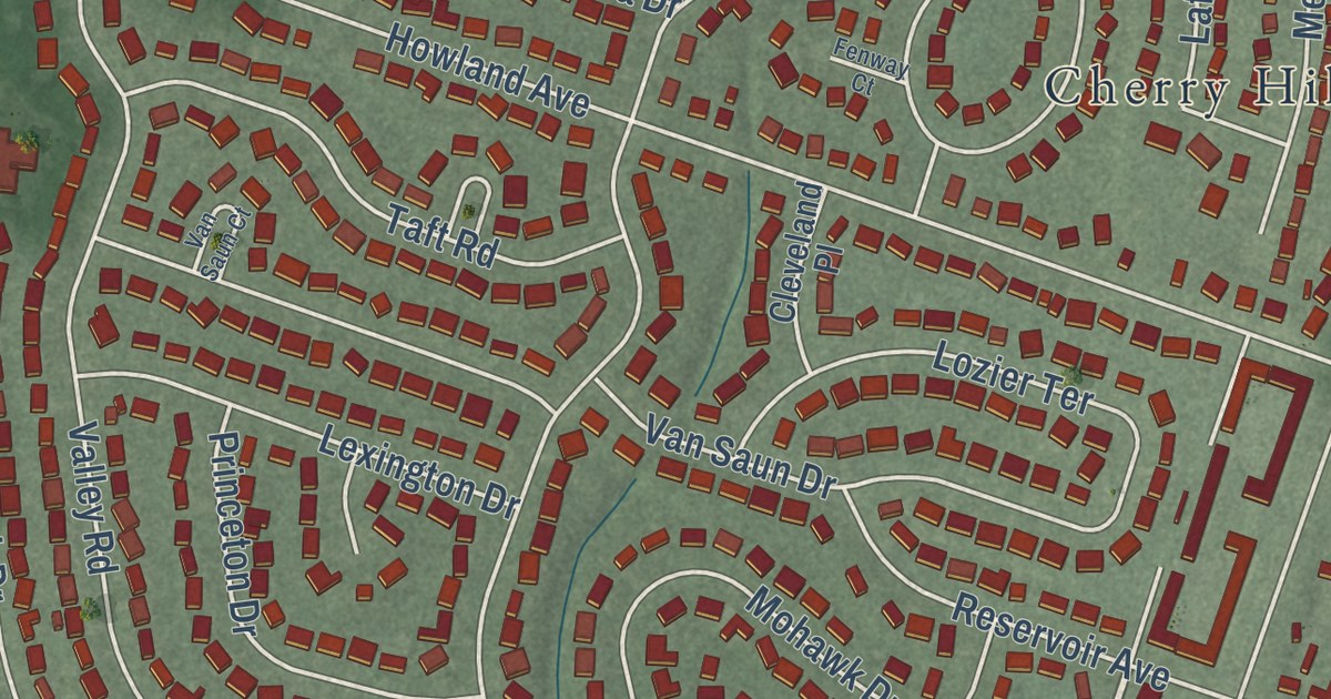
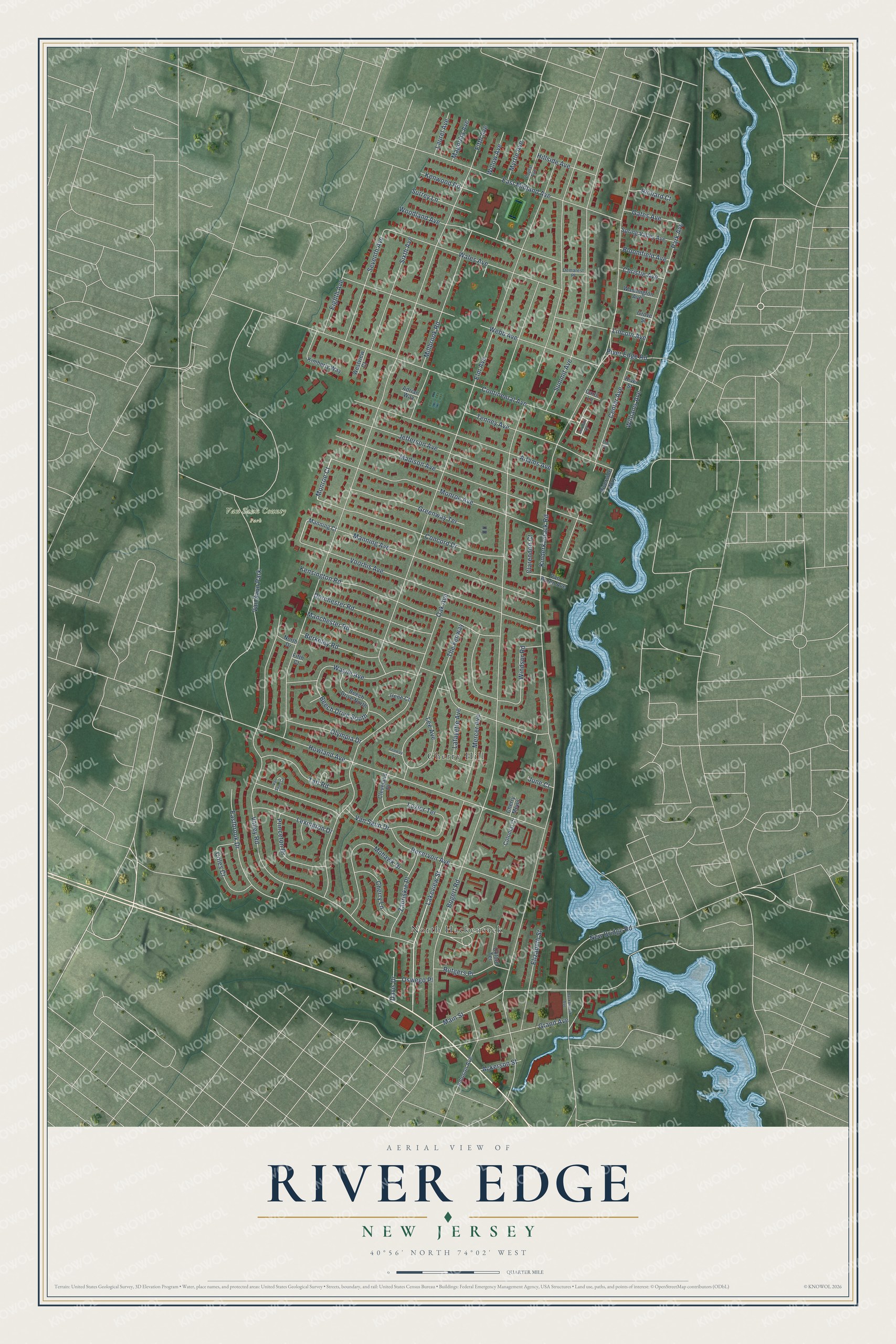
This beautifully detailed map of River Edge, New Jersey was created in 2026 using aerial imagery combined with modern topographical, census, street and landmark data. It’s a one-of-a-kind view of River Edge that combines accurate data with a vintage aesthetic. The map shows every building in its true location, many of the roads carry their names, and the shaded topographic relief shows the shape of the land.
Explore an aerial view of River Edge, New Jersey
On the map you’ll find Cherry Hill, North Hackensack, and Van Saun County Park, along with Lakeview Street, Monroe Court, Manning Court, Kinderkamack Road, Bogert Road, and more. If you look closely you can even find your house accurately drawn in its correct location. Zoom in on the preview to look for yours.
Did You Know?
The town began in 1894 as Riverside. It was one of 26 boroughs Bergen County formed that year, during a fad called Boroughitis. On December 1, 1930, Riverside became River Edge. The new name came from its spot along the Hackensack River.
Take a closer look at the River Edge map
Names on this map
These names are printed on this map.
Places: Van Saun County Park, North Hackensack, Cherry Hill and Van Saun Park.
Streets and roads: Lakeview Street, Monroe Court, Kinderkamack Road, Bogert Road, Fifth Avenue, Elm Avenue, Oak Avenue, Valley Road, Howland Avenue, Wayne Avenue, Continental Avenue, Voorhis Avenue.
More street names, A to Z
Ackerson Street, Adams Avenue, Adrian Way, Beech Drive North, Beech Drive South, Berkeley Road, Bloomfield Avenue, Carol Lane, Center Avenue, Cherry Lane, Cherry Mews, Christie Avenue, Clarendon Court, Cleveland Place, Coles Court, Colonial Court, Concord Drive, Davis Drive, Demarest Place, Dorchester Road, Eastbrook Drive, East Midland Avenue, Eighth Avenue, Elizabeth Street, Elm Place, Fenway Court, Fifth Court, Gates Avenue, Grand Avenue, Greenway Terrace, Grove Street, Hackensack Avenue, Hillside Avenue, Irene Court, Jefferson Avenue, Johnson Avenue, Jordan Drive, June Court, Kensington Road, Kenwood Road, Kimberly Way, Lafayette Avenue, Laurel Avenue, Lee Avenue, Lexington Drive, Lincoln Avenue, Lozier Terrace, Madison Avenue, Magnolia Avenue, Main Street, Manchester Road, Manning Avenue, Manning Court, Mercer Avenue, Millbrook Road, Mohawk Drive, Monroe Avenue, Myrtle Avenue, New Bridge Road, North Drive, Olympia Drive, Oswego Place, Oxford Terrace, Park Avenue, Poplar Avenue, Princeton Drive, Reservoir Avenue, Richard Court, River Edge Road, Riverside Way, River Street, Rutgers Place, Seventh Avenue, Sixth Avenue, Spring Valley Avenue, Summit Avenue, Surrey Lane, Taft Road, Tenney Avenue, The Fenway, Van Buren Avenue, Van Saun Court, Van Saun Drive, Wales Avenue, Washington Avenue, Webb Avenue, Westview Court, Williams Avenue, Willow Avenue, Windsor Road, Woodland Avenue, Zabriskie Place.
See it on a wall
The River Edge map as an 18 x 24 inch print in a black frame.

This beautifully detailed map of River Edge makes an attractive addition to your office, library, or den, and it can even be used to teach children the geography and history of the area. It also makes a great gift for anyone who grew up in River Edge or moved away. When you’re done exploring, click here to get your copy of the River Edge map.