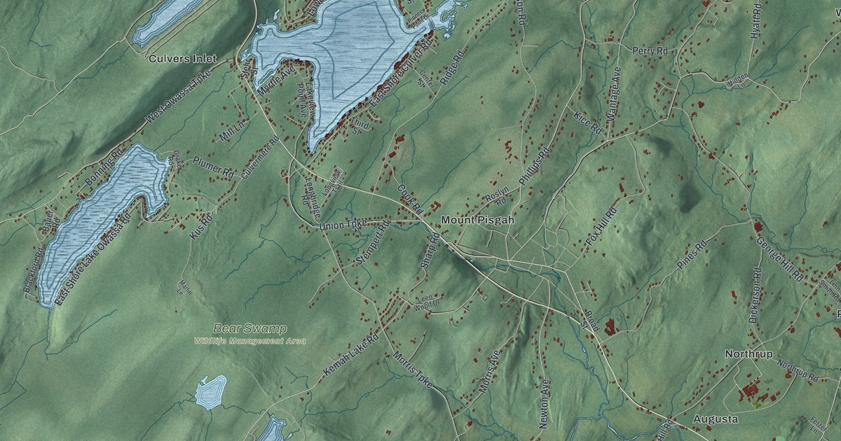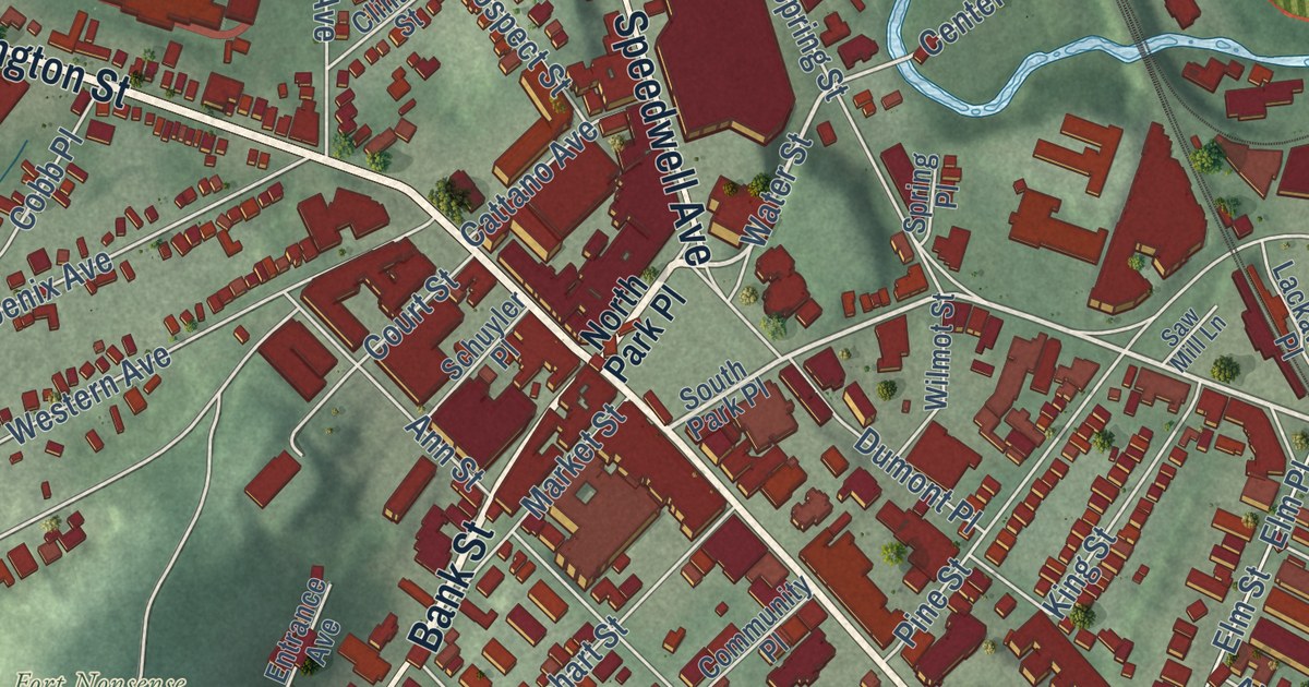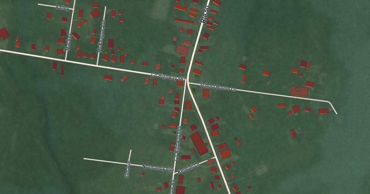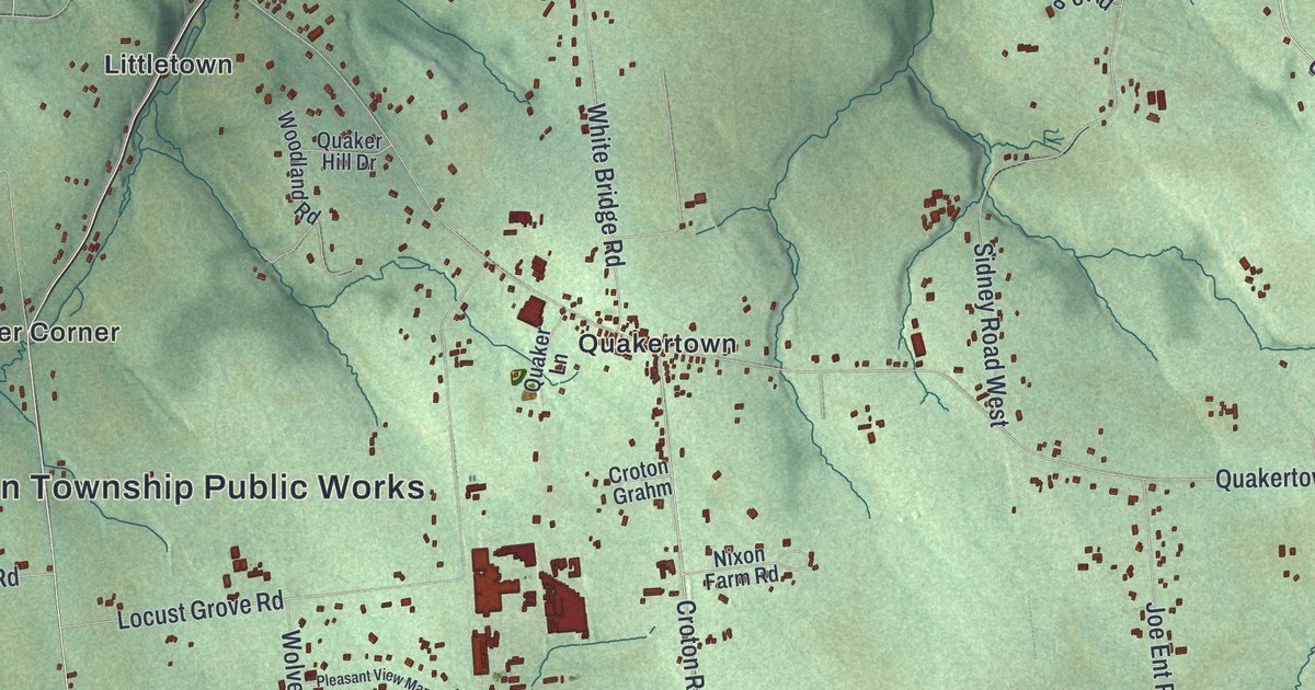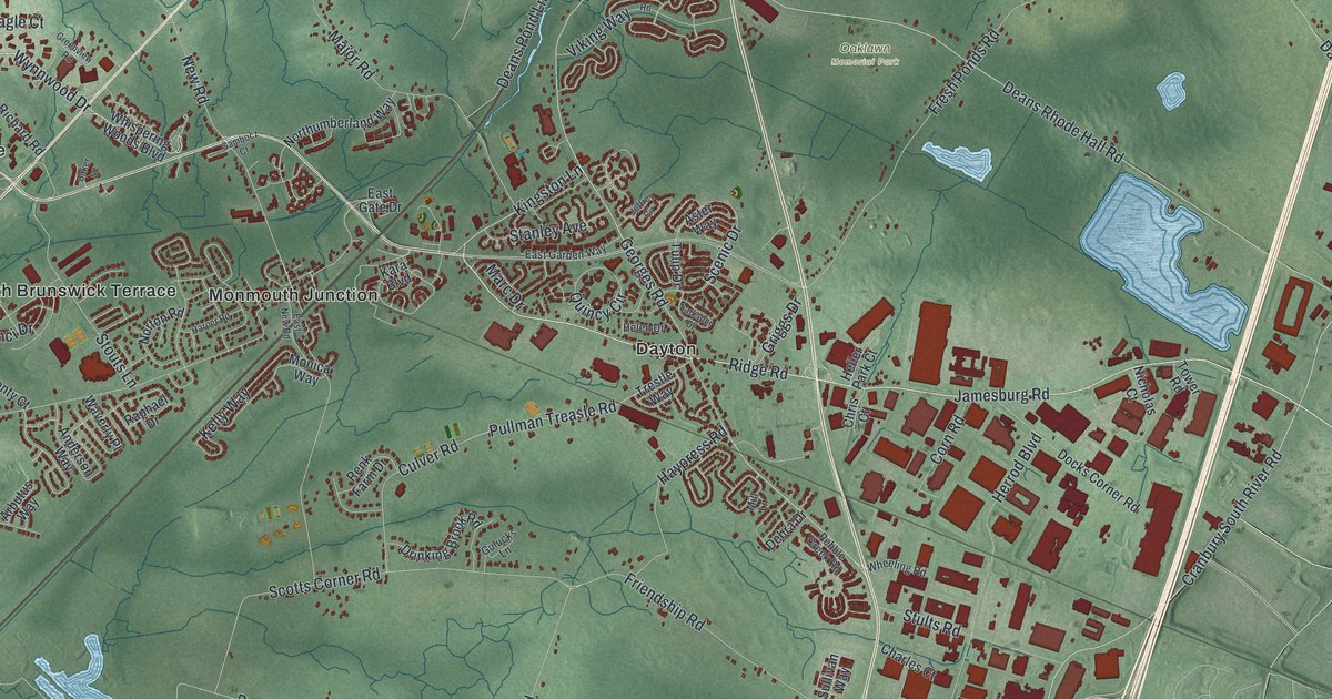
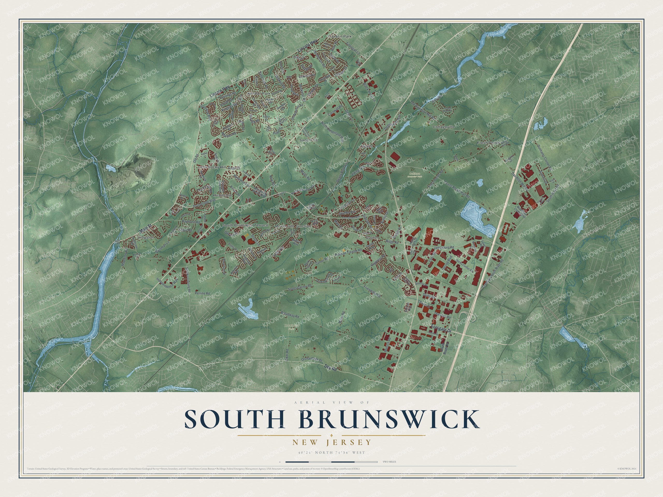
This beautifully detailed map of South Brunswick, New Jersey was created in 2026 using aerial imagery combined with modern topographical, census, street and landmark data. It’s a one-of-a-kind view of South Brunswick that combines accurate data with a vintage aesthetic. The map shows every building in its true location, many of the roads carry their names, and the shaded topographic relief shows the shape of the land.
Explore an aerial view of South Brunswick, New Jersey
On the map you’ll find Cottageville, Dayton, Deans, Franklin Park, Fresh Ponds, Oaklawn Memorial Park, and Rowland Park, along with Lincoln Highway, Main Street, Dey Road, Forsgate Drive, Ridge Road, and more. If you look closely you can even find your house accurately drawn in its correct location. Zoom in on the preview to look for yours.
Did You Know?
South Brunswick took its name from New Brunswick. The state legislature created the township on February 21, 1798. Farming shaped the community through the 1700s and 1800s. The Straight Turnpike, now Route 1, was built in 1804. In 1872 its southern part became Cranbury.
Take a closer look at the South Brunswick map
Names on this map
These names are printed on this map.
Places: Oaklawn Memorial Park, Rowland Park, Cottageville, Dayton, Deans, Franklin Park, Fresh Ponds, Heathcote, Kendall Park, Kingston, Little Rocky Hill, Monmouth Junction, Sand Hills and South Brunswick Terrace.
Streets and roads: Lincoln Highway, Main Street, Dey Road, Forsgate Drive, Ridge Road, Wynnwood Drive, Jamesburg Road, Promenade Boulevard, New Road, Georges Road, Davidson Mill Road, Old Davidson Mill Road.
More street names, A to Z
Anderson Way, Andover Drive, Arbutus Way, Aster Way, Augustine Drive, Baker Street, Barbara Street, Barrett Drive, Beekman Road, Black Gum Drive, Black Horse Lane, Broadway Road, Cambridge Road, Charles Court, Chipper Drive, Chris Court, Circle Drive, Cleveland Lane, Commerce Court, Corn Road, Cornwall Road, Cranbury South River Road, Crestview Drive, Culver Road, Davinci Drive, Dawson Road, Deans Lane, Deans Pond Lane, Deans Pond Lane West, Deans Rhode Hall Road, Debra Drive, Deerpark Drive, Dickinson Road, Distribution Way, Docks Corner Road, Douglass Drive, Drinking Brook Road, Dundee Road, Dunhams Corner Road, Eagle Court, Eastern Drive, East Garden Way, East Gate Drive, East New Road, Eiker Road, Eleanor Drive, Finnegan Lane, Fresh Ponds Road, Friendship Road, Gambocz Court, Gateway Boulevard, Greenview Road, Gregory Court, Griggs Drive, Gulucks Lane, Hardwick Drive, Harper Road, Hastings Road, Haypress Road, Heathcote Road, Helen Drive, Heller Park Court, Henderson Road, Herrod Boulevard, Holder Road, Independence Way, Interstate Boulevard, Ireland Brook Drive, James Avenue, Jared Boulevard, Jeffrey Circle, Joline Road, Jones Drive, Kady Lane, Kara Boulevard, Kelly Way, Kingsley Road, Kingston Lane, Kory Drive, Larkspur Drive, Major Road, Mapleton Road, Marc Drive, Melrich Road, Middlesex Center Boulevard, Miller Road, Mill Lane, Monica Way, Nicholas Court, North Umberland Way, Northumberland Way, Norton Road, Oakey Drive, Old Beekman Road, Old Road, Orchardside Drive, Pear Street, Pebble Creek Road, Pelham Road, Perrine Road, Pinter Lane, Ponty Court, Primrose Circle, Princeton Gate Boulevard, Providence Boulevard, Pullman Treasle Road, Quincy Circle, Ragany Lane, Railroad Avenue, Raleigh Road, Raphael Drive, Raymond Road, Renk Farm Drive, Revere Road, Richard Road, Richford Road, Riva Avenue, River Road, Roberts Street, Rocky Hill Road, Rumson Road, Sand Hills Road, Sandor Drive, Sarah Court, Sassman Lane, Savage Road, Scenic Drive, Schalks Crossing Road, Scotts Corner Road, Selma Drive, Shelley Road, Silver Birch Court, South River Road, Stanford Drive, Stanley Avenue, Stevens Road, Stillwell Road, Stouts Lane, Stults Road, Sturgis Road, Sullivan Way, Summit Drive, Sutton Place, Taylor Road, Texas Avenue, Thatcher Road, Timothy Avenue, Tower Road, Trestle Way, Tulip Drive, Tulsa Court, Viking Way, Village Road, Waverly Place, Wheeler Road, Wheeling Road, Whispering Woods Boulevard, White Pine Road, Zev Court.
See it on a wall
The South Brunswick map as an 18 x 24 inch print in a black frame.

This beautifully detailed map of South Brunswick makes an attractive addition to your office, library, or den, and it can even be used to teach children the geography and history of the area. It also makes a great gift for someone who left South Brunswick and still calls it home. When you’re done exploring, click here to get your copy of the South Brunswick map.