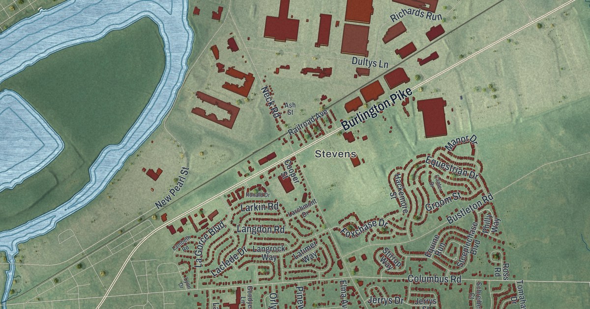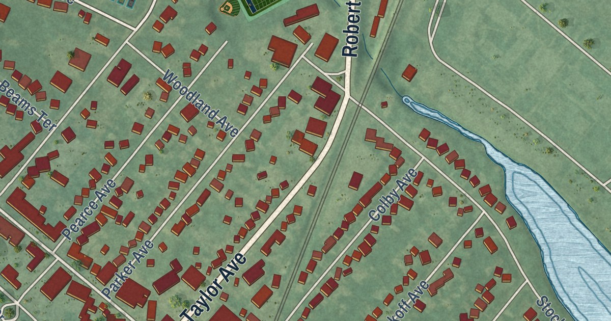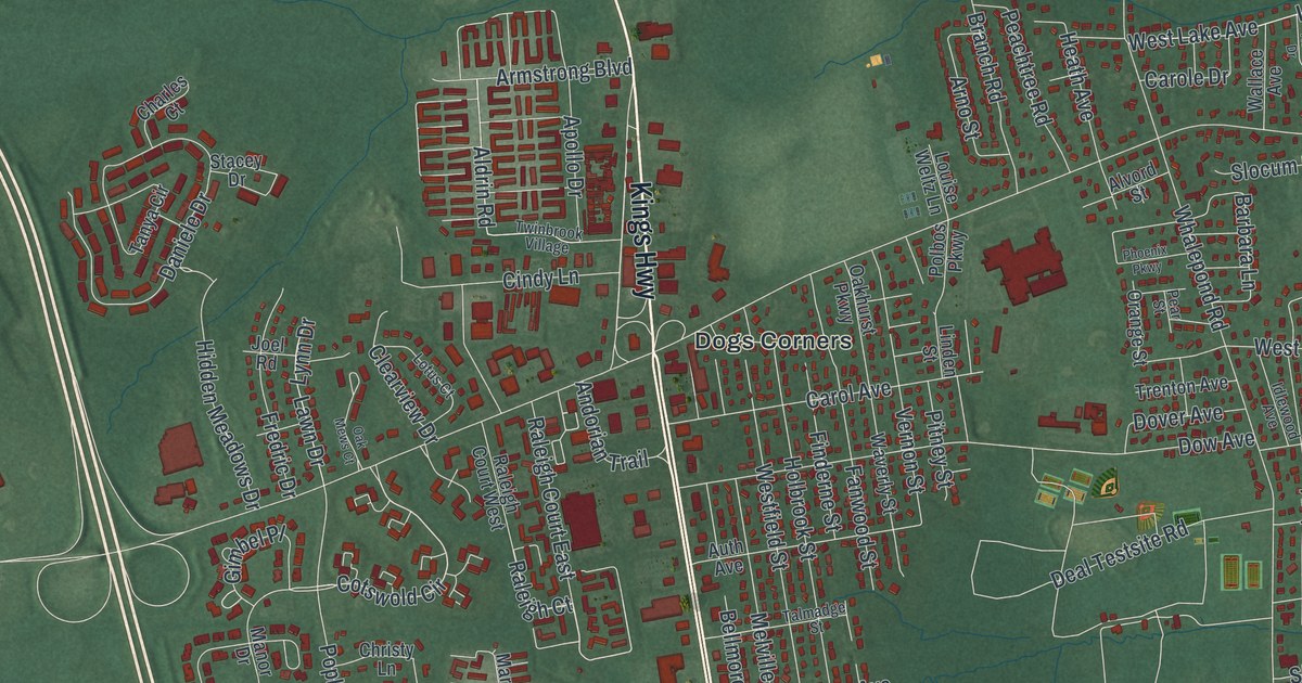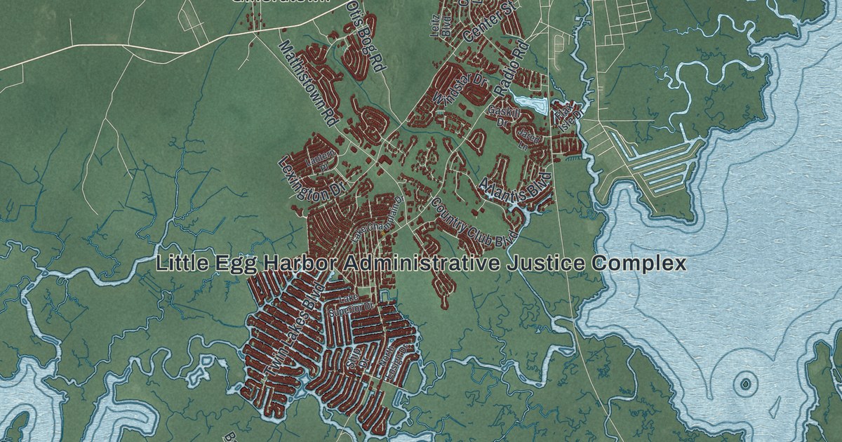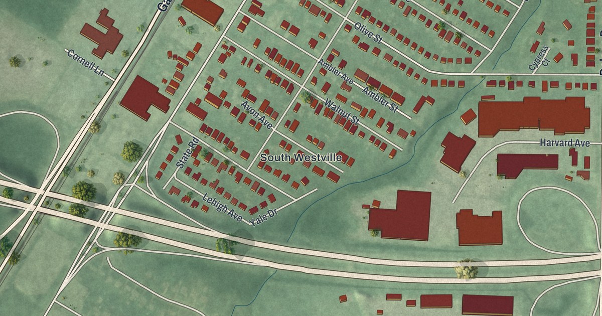
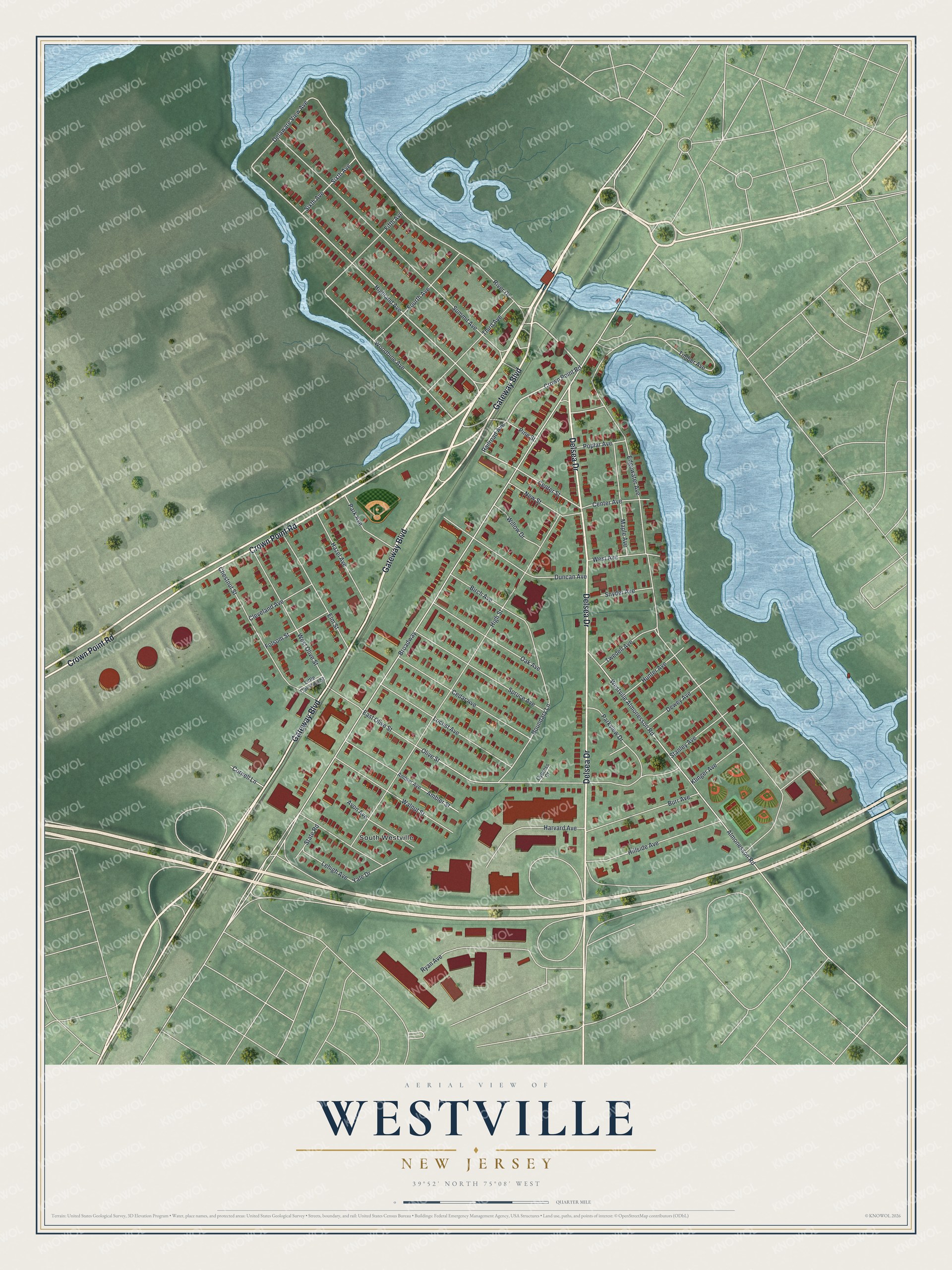
This beautifully detailed map of Westville, New Jersey was created in 2026 using aerial imagery combined with modern topographical, census, street and landmark data. It’s a one-of-a-kind view of Westville that combines accurate data with a vintage aesthetic. The map shows every building in its true location, many of the roads carry their names, and the shaded topographic relief shows the shape of the land.
Explore an aerial view of Westville, New Jersey
On the map you’ll find South Westville, along with Gateway Boulevard, Delsea Drive, Crown Point Road, River Drive, Railroad Avenue, and more. If you look closely you can even find your house accurately drawn in its correct location. Zoom in on the preview to look for yours.
Did You Know?
Thomas West built a house here in 1775, and the borough carries his name. His home still stands today. The state passed a law to create the borough in 1900, but voters in both Deptford and West Deptford had to approve it. Westville finally became a borough in 1914.
Take a closer look at the Westville map
Names on this map
These names are printed on this map.
Places: South Westville.
Streets and roads: Gateway Boulevard, Delsea Drive, Crown Point Road, River Drive, Railroad Avenue, Woodbine Avenue, Center Street, Highland Avenue, Broadway, Delaware View Avenue, Westville Almonesson Road, Edgewater Avenue.
More street names, A to Z
Almonesson Road, Ambler Avenue, Ambler Street, Avon Avenue, Birch Avenue, Boundary Lane, Burr Avenue, Cedar Avenue, Center Avenue, Chestnut Street, Cleveland Avenue, Cornell Lane, Cypress Court, Dewey Avenue, Duncan Avenue, East Olive Street, Elm Street, Fifth Avenue, Folsom Street, Fourth Avenue, Harvard Avenue, Hazel Avenue, High Street, Hillside Avenue, Hunter Avenue, Klinger Avenue, Lehigh Avenue, Little Chestnut Street, Locust Avenue, Maple Avenue, New Street, Oak Avenue, Olive Street, Park Avenue, Parkview Drive, Pine Street, Poplar Avenue, Ryan Avenue, Sixth Avenue, Snyder Avenue, Spruce Avenue, Stanley Avenue, State Road, Summit Avenue, Third Avenue, Timber Avenue, Twedell Avenue, Walnut Street, West Avenue, West Olive Street, Willow Drive, Yale Drive.
See it on a wall
The Westville map as an 18 x 24 inch print in a black frame.

This beautifully detailed map of Westville makes an attractive addition to your office, library, or den, and it can even be used to teach children the geography and history of the area. It also makes a great gift for anyone with Westville roots. When you’re done exploring, click here to get your copy of the Westville map.