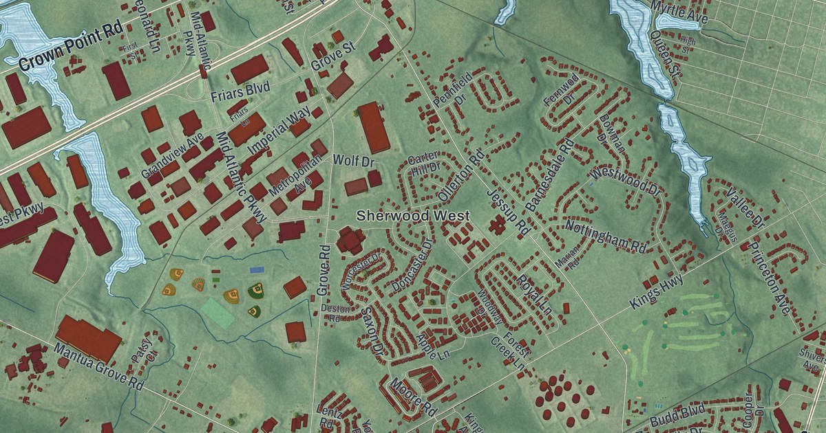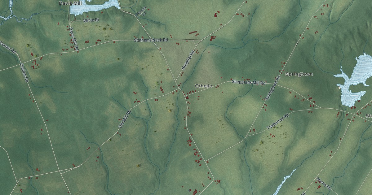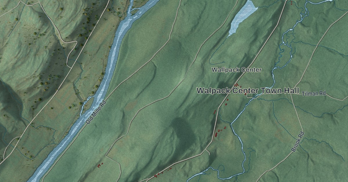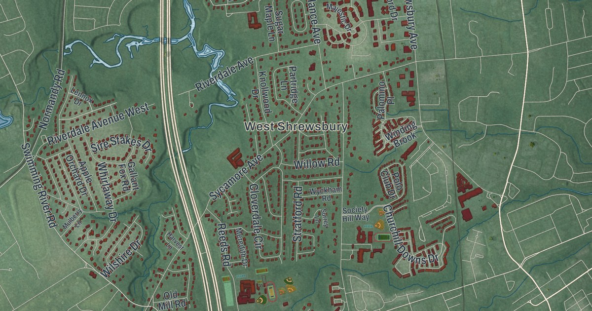
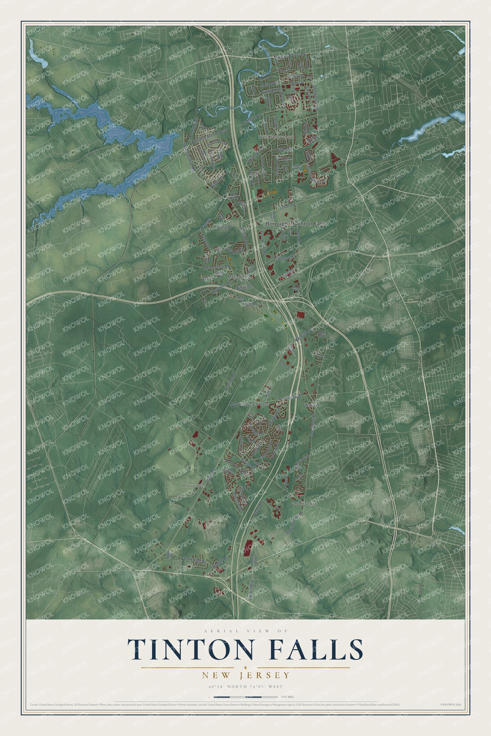
This beautifully detailed map of Tinton Falls, New Jersey was created in 2026 using aerial imagery combined with modern topographical, census, street and landmark data. It’s a one-of-a-kind view of Tinton Falls that combines accurate data with a vintage aesthetic. The map shows every building in its true location, many of the roads carry their names, and the shaded topographic relief shows the shape of the land.
Explore an aerial view of Tinton Falls, New Jersey
On the map you’ll find West Shrewsbury, Reevytown, Green Grove, Macedonia, and Wayside, along with Newman Springs Road, Pinebrook Road, Tinton Avenue, Wayside Road, and more. If you look closely you can even find your house accurately drawn in its correct location. Zoom in on the preview to look for yours.
Did You Know?
In 1675 Colonel Lewis Morris bought a half share in an ironworks here. He called his land Tintern Manor, after his family lands in Monmouthshire. Over time Tintern wore down to Tinton. The borough began as New Shrewsbury in 1950 and took the name Tinton Falls in 1975.
Take a closer look at the Tinton Falls map
Names on this map
These names are printed on this map.
Places: Borough of Tinton Falls, West Shrewsbury, Reevytown, Green Grove, Macedonia, Wayside and Wileys Corners.
Streets and roads: Newman Springs Road, Pinebrook Road, Tinton Avenue, Wayside Road, Swimming River Road, Shafto Road, Wyckoff Road, Squankum Road, Park Road, Churchill Downs Drive, Hope Road, Asbury Avenue.
More street names, A to Z
Abbey Road, Alpine Trail, Annapolis Street, Apple Orchard Drive, Apple Street, Augusta Street, Avalon Drive, Bataan Avenue, Branford Circle, Bridle Path, Cannonball Drive, Center Plaza, Cherry Street, Clinton Place, Cloverdale Circle, Colonial Drive, Columbia Drive, Diane Drive, Drift Road, Essex Road, Filly Way, Foxchase Drive, Frontier Way, Gallant Fox Road, Garden Place, Garrison Drive, Glenwood Drive, Green Grove Road, Guam Lane, Hamilton Road, Hance Avenue, Hartford Drive, Harvard Drive, Harvest Lane, Heliport Drive, Heritage Boulevard, Hockhockson Road, Hovchild Boulevard, Jonathan Drive, Jumping Brook Road, Knollwood Drive, Kyle Drive, Lakeview Drive, Lennox Drive, Majestic Drive, Manzo Court, Mayberry Drive, Meredith Drive, Mount Run, Mulberry Lane, Nelson Drive, Normandy Road, Oakdale Drive, Oak Leaf Lane, Old Mill Road, Palomino Place, Park Avenue, Partridge Lane, Peach Street, Pearl Harbor Road, Phipps Place, Pica Place, Pine Street, Plum Street, Polo Club Drive, Reeds Road, Rider Lane, Riverdale Avenue, Riverdale Avenue West, Riveredge Drive, Riveredge Road, Roslyn Drive, Ruffin Court, Rutgers Drive, Sam Drive, Santa Rosa Lane, Shark River Road, Sheila Drive, Shrewsbury Avenue, Silvercrest Drive, Sire Stakes Drive, Society Hill Way, Steven Avenue, Stratford Road, Sugar Maple Lane, Sunset Drive, Surrey Lane, Sycamore Avenue, Thor Road, Tornee Drive, Tornillo Way, Victoria Boulevard, Wardell Road, Water Street, West Park Avenue, Whirlaway Drive, Willow Road, Wilshire Drive, Winding Brook, Wingo Terrace, Wyckham Road, Yale Court.
See it on a wall
The Tinton Falls map as an 18 x 24 inch print in a black frame.

This beautifully detailed map of Tinton Falls makes an attractive addition to your office, library, or den, and it can even be used to teach children the geography and history of the area. It also makes a great gift for anyone with Tinton Falls roots. When you’re done exploring, click here to get your copy of the Tinton Falls map.