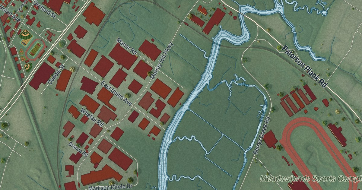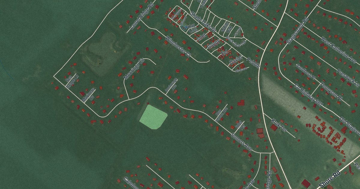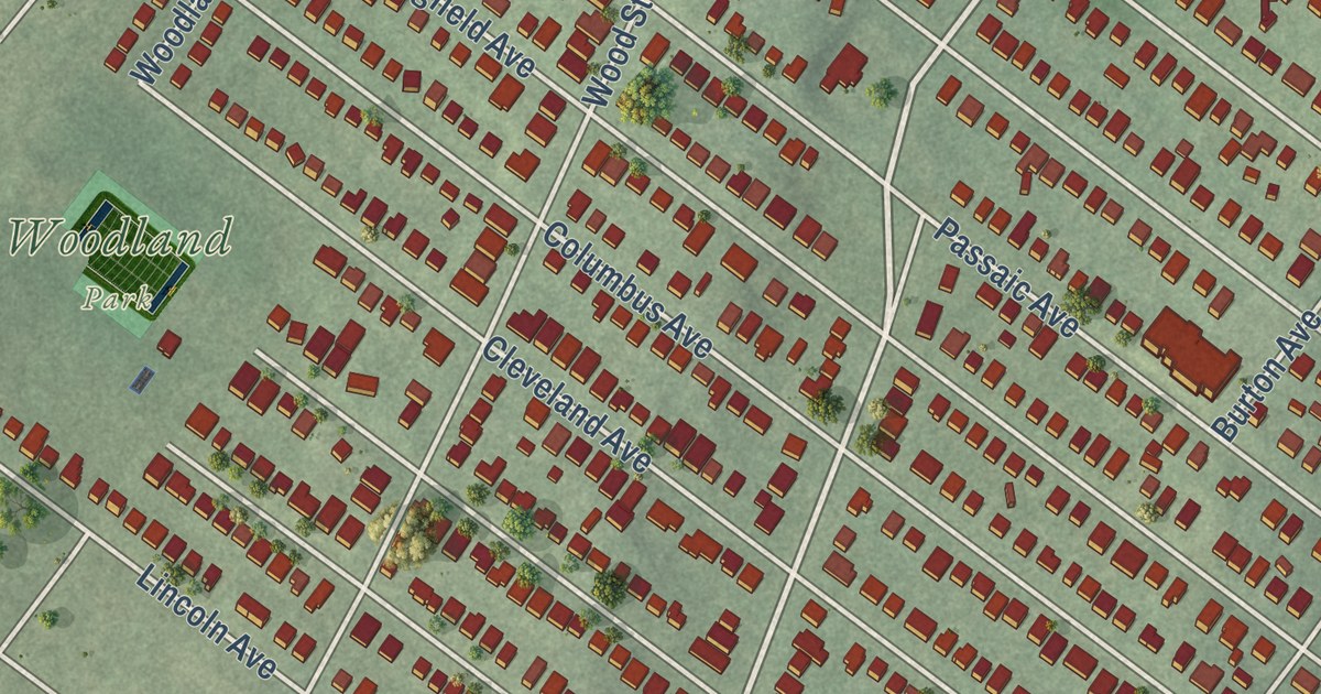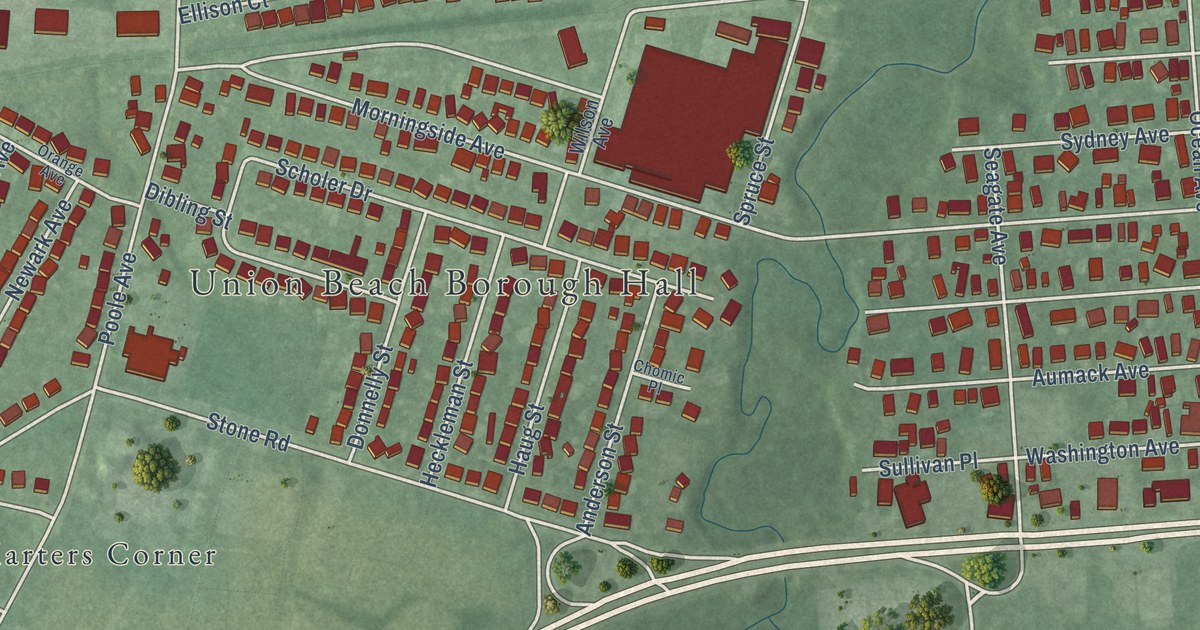
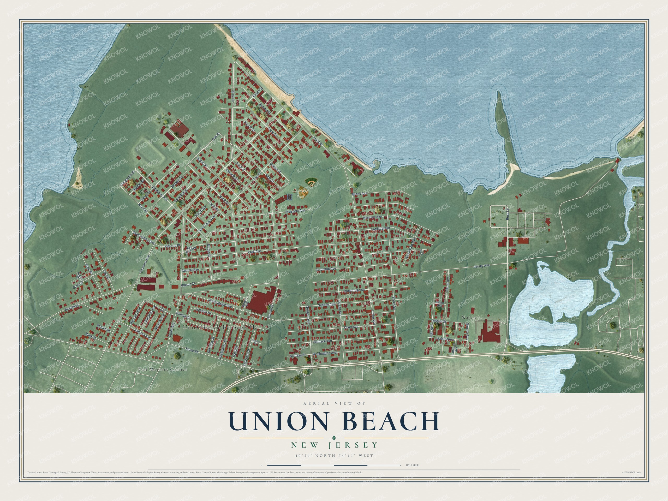
This beautifully detailed map of Union Beach, New Jersey was created in 2026 using aerial imagery combined with modern topographical, census, street and landmark data. It’s a one-of-a-kind view of Union Beach that combines accurate data with a vintage aesthetic. The map shows every building in its true location, many of the roads carry their names, and the shaded topographic relief shows the shape of the land.
Explore an aerial view of Union Beach, New Jersey
On the map you’ll find Union Beach Borough Hall, Natco, Van Marters Corner, and Scholer Park, along with Fifth Street, Oak Street, Rose Lane, Dock Street, and more. If you look closely you can even find your house accurately drawn in its correct location. Zoom in on the preview to look for yours.
Did You Know?
Hurricane Sandy hit Union Beach in October 2012. By the morning of October 29, about 200 homes and businesses were damaged, and 62 were gone completely. Floods destroyed 14 of its police cars, along with three ambulances and four fire trucks. Former residents across the country sent help, and other towns donated cruisers.
Take a closer look at the Union Beach map
Names on this map
These names are printed on this map.
Places: Union Beach Borough Hall, Natco, Scholer Park and Van Marters Corner.
Streets and roads: Fifth Street, Oak Street, Rose Lane, Dock Street, Saint John's Avenue, Florence Avenue, Stone Road, Jersey Avenue, Park Avenue, Central Avenue, Lorillard Avenue, Morningside Avenue.
More street names, A to Z
Anderson Street, Arlington Avenue, Asbury Avenue, Ash Street, Aspen Street, Aumack Avenue, Bank Street, Bay Avenue, Bayview Avenue, Bay View Avenue, Beach Street, Beachview Avenue, Branch Street, Broadway, Brook Avenue, Cambridge Avenue, Campbell Street, Center Street, Chingarora Street, Chomic Place, Clark Avenue, Columbia Avenue, Dibling Street, Donnelly Street, Edmunds Avenue, Eighth Street, Ellison Court, Floyd Avenue, Fourth Street, Front Street, Harris Avenue, Harrison Avenue, Haug Street, Heckleman Street, Henry Street, Herbert Street, High Avenue, Isabella Avenue, Johnson Avenue, Maple Street, Newark Avenue, Ninth Street, Ocean Avenue, Orange Avenue, Patterson Avenue, Pine Street, Poole Avenue, Prospect Avenue, Raritan Street, Saint James Avenue, Scholer Drive, Seagate Avenue, Seaview Avenue, Second Street, Seventh Street, Shore Road, Sixth Street, Spruce Street, State Street, Sullivan Place, Sydney Avenue, Tenth Street, Third Street, Union Avenue, Victoria Place, Washington Avenue, Wesley Avenue, West Street, Willow Street, Wilson Avenue.
See it on a wall
The Union Beach map as an 18 x 24 inch print in a black frame.

This beautifully detailed map of Union Beach makes an attractive addition to your office, library, or den, and it can even be used to teach children the geography and history of the area. It also makes a great gift for anyone with Union Beach roots. When you’re done exploring, click here to get your copy of the Union Beach map.