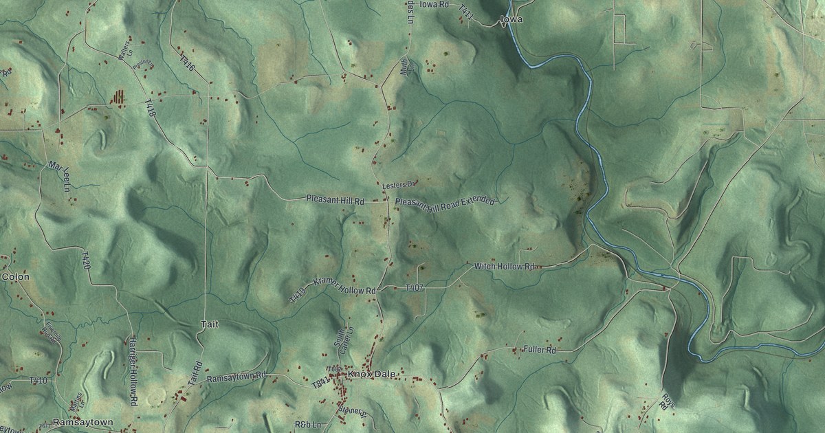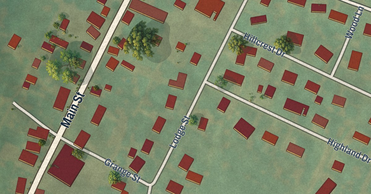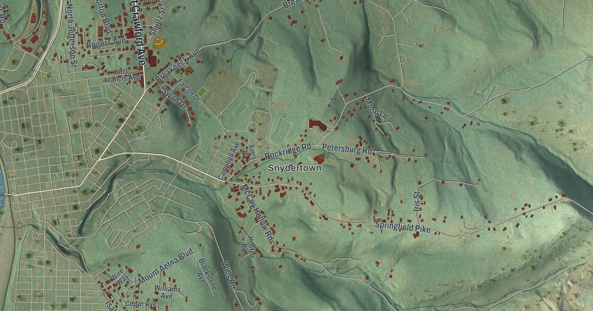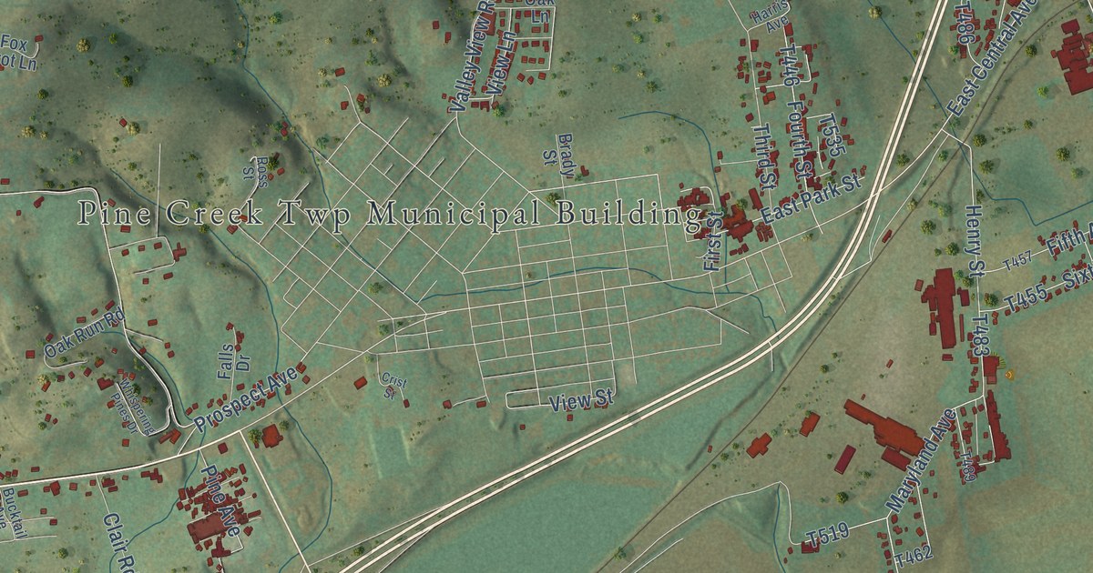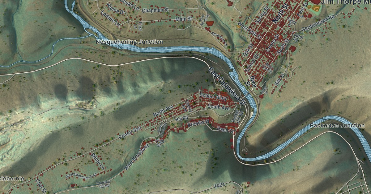
This beautifully detailed map of Jim Thorpe, Pennsylvania was created in 2026 using aerial imagery combined with modern topographical, census, street and landmark data. It’s a one-of-a-kind view of Jim Thorpe that combines accurate data with a vintage aesthetic. The map shows every building in its true location, many of the roads carry their names, and the shaded topographic relief shows the shape of the land.
Explore an aerial view of Jim Thorpe, Pennsylvania
On the map you’ll find Jim Thorpe Municipal Building, Hacklebernie, Nesquehoning Junction, Packerton Junction, and West Broadway, along with East Catawissa Street, North Street, Snyder Street, Glenview Drive, Center Street, West Tenth Street, Onoko Lane, and more. If you look closely you can even find your house accurately drawn in its correct location. Zoom in on the preview to look for yours.
Take a closer look at the Jim Thorpe map
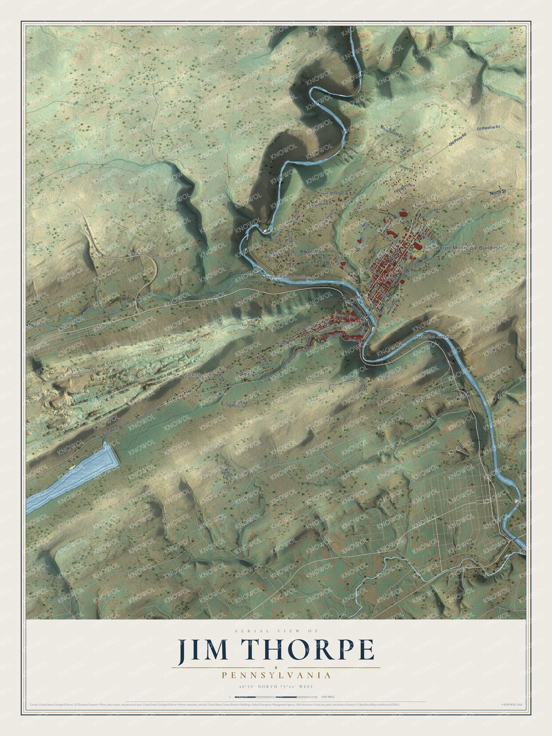
Street and place names on the Jim Thorpe, Pennsylvania map
These names are printed on the map of Jim Thorpe, Pennsylvania.
Places: Jim Thorpe Municipal Building, Hacklebernie, Nesquehoning Junction and Packerton Junction.
Streets and roads: East Catawissa Street, North Street, Snyder Street, Glenview Drive, West Broadway, Center Street, West Tenth Street, Onoko Lane, East 13th Street, West Fifth Street, Center Avenue, Main Street.
More street names, A to Z
13th Street, Adventure Lane, Alpine Drive, Alpine Lane, Broadview Drive, Broadway, Chapman Street, Cherry Avenue, Chestnut Hill Road, Chestnut Lane, Chippy Circle, Coal Street, Dew Drop Drive, East White Bear Drive, Eighth Street, Fawn Circle, Fern Street, First Lane, Flagstaff Road, Germantown Road, Highland Hill Road, High Street, Hill Road, Laurel Road, Laurel Street, Lehigh Gorge Drive, Leisure Lane, Lentz Trail, Maple Shade Drive, North Avenue, Oak Ridge Road, Oak Street, Oil Pipeline Road, Old Piney Road, Opera House Square, Packer Hill Road, Pine Drive, Race Street, Raspberry Drive, Resevoir Road, River Street, Sand Spring Road, School Alley, School Street, Silk Street, South Avenue, South Street, Spring Street, Summit Drive, West 10 Street, West 13th Street, West Chipmunk Trail, West Third Street, White Lane, Woodside Drive.
See the Jim Thorpe, Pennsylvania map on a wall
The Jim Thorpe map as an 18 x 24 inch print in a black frame.

This beautifully detailed map of Jim Thorpe makes an attractive addition to your office, library, or den, and it can even be used to teach children the geography and history of the area. It also makes a great gift for anyone with Jim Thorpe roots. When you’re done exploring, click here to get your copy of the Jim Thorpe map.