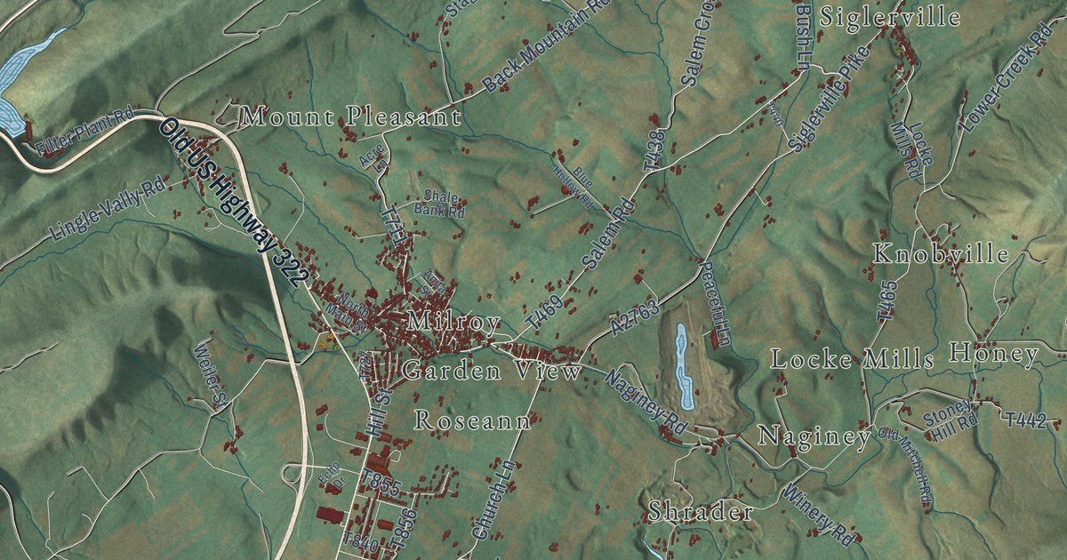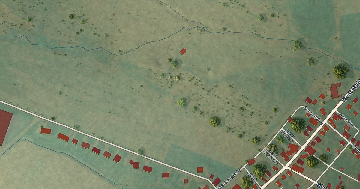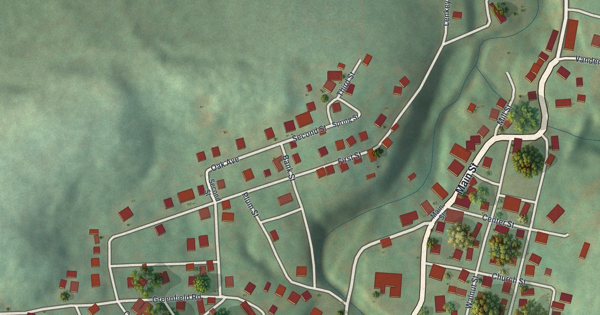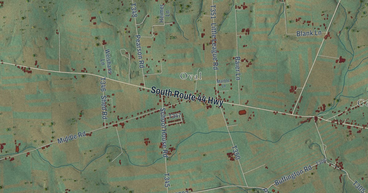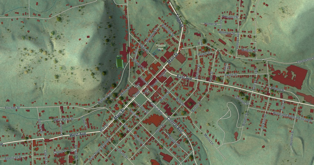
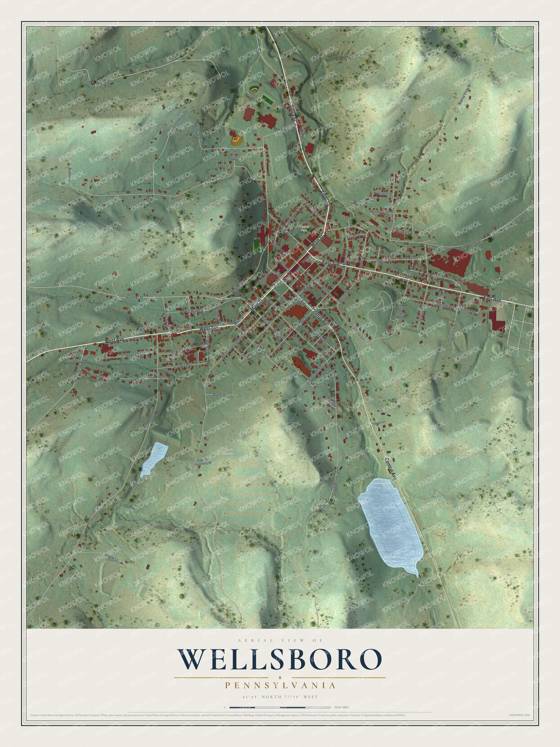
This beautifully detailed map of Wellsboro, Pennsylvania was created in 2026 using aerial imagery combined with modern topographical, census, street and landmark data. It’s a one-of-a-kind view of Wellsboro that combines accurate data with a vintage aesthetic. The map shows every building in its true location, many of the roads carry their names, and the shaded topographic relief shows the shape of the land.
Explore an aerial view of Wellsboro, Pennsylvania
On the map you’ll find Catholic Cemetery and Packer Park, along with Main Street, Tioga Street, West Avenue, East Avenue, Central Avenue, Charleston Street, Fischler Street, King Street, Nichols Street, and more. If you look closely you can even find your house accurately drawn in its correct location. Zoom in on the preview to look for yours.
Did you know this piece of Wellsboro, Pennsylvania history?
From the PA Historical and Museum Commission: "Nessmuk was the pen name of pioneer conservationist and woodsman George Washington Sears (1821-1890), a resident of Wellsboro. Noted chiefly as the author of first book on woodcraft, Sears was also a poet, adventurer, canoeist and outdoor writer."
Take a closer look at the Wellsboro map
Street and place names on the Wellsboro, Pennsylvania map
These names are printed on the map of Wellsboro, Pennsylvania.
Places: Catholic Cemetery and Packer Park.
Streets and roads: Main Street, Tioga Street, West Avenue, East Avenue, Central Avenue, Charleston Street, Sr660, Fischler Street, King Street, Nichols Street, Cone Street, Park Place.
More street names, A to Z
Adrian Lane, Alex, American Street, Antrim Street, Austin Street, Bache Street, Bacon Street, Berwart Street, Black Street, Bodine Street, Brewery Lane, Bryden Street, Buck Road, Buena Vista Street, Calkins Lane, Catholic Cemetery Drive, Charles Street, Cherry Street, Cole Street, Conway Street, Cortland Street, Crafton Street, Eberenz Street, Ellis Street, English Street, Fellows Avenue, Grant Street, Greenbrier Drive, Greenwood Street, Hastings Street, Heartwood Lane, Helvetia Street, Hickory Terrace, Highland Street, Homer Street, Horse Thief Run, Ives Street, Jackson Street, Kelsey Street, Kimball Street, Lg Lane, Lincoln Street, Maple Lane, McInroy Street, Meade Street, Morgan Terrace, Morris Lane, Norris Street, Old Tioga Street, Pearl Street Extended, Pierce Street, Powers Drive, Prospect Street, Purple Street, Queen Street, Rectory Lane, Riberolle Street, Roy Street, Sayre Street, Sears Street, Sherman Street, Sherwood Street, Siemans Street, Sr287, Stickley Street, Vanhorn Street, Waln Street, Walnut Street, Water Street, West Water Street, Wetmore Street, Willard Terrace, Wingate Street, Woodland Avenue Extended.
See the Wellsboro, Pennsylvania map on a wall
The Wellsboro map as an 18 x 24 inch print in a black frame.

This beautifully detailed map of Wellsboro makes an attractive addition to your office, library, or den, and it can even be used to teach children the geography and history of the area. It also makes a great gift for someone who left Wellsboro and still calls it home. When you’re done exploring, click here to get your copy of the Wellsboro map.