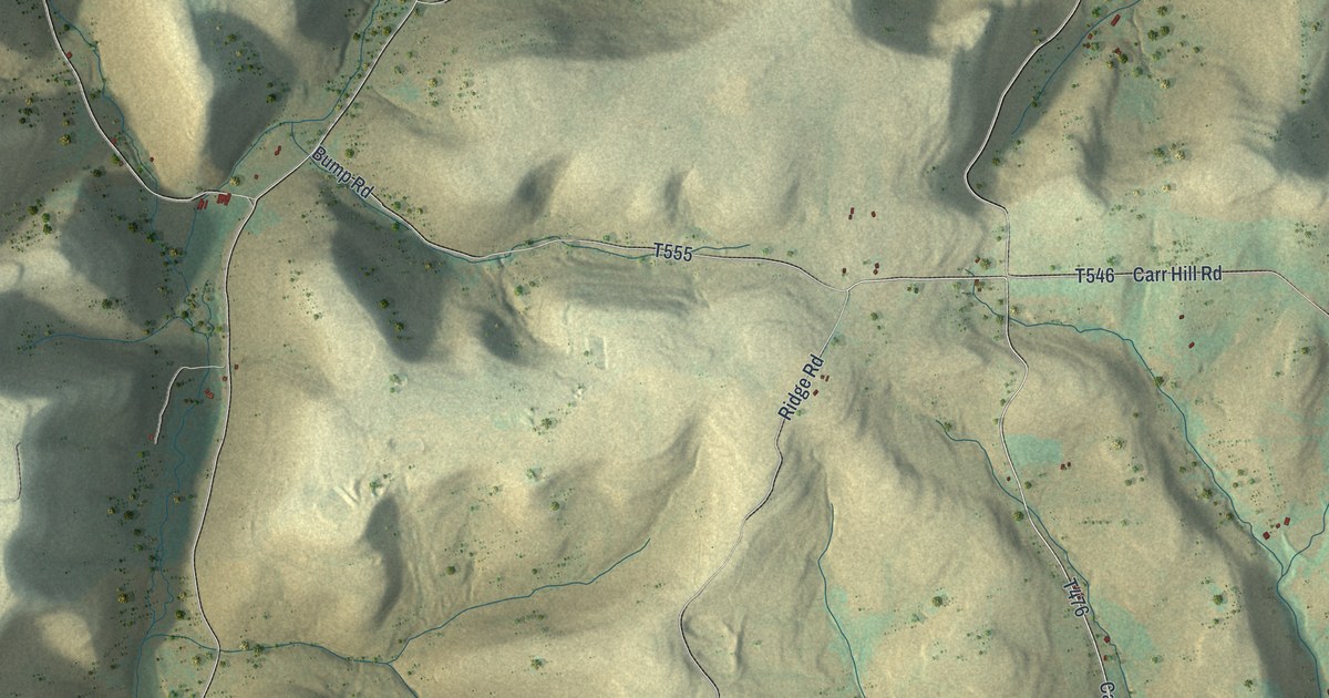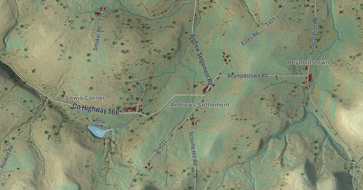
If you grew up around Andrews Settlement or Colesburg, or you've still got family on a hill farm near Raymond, this map puts the whole township on one sheet. It's a modern aerial view of Allegany Township in Potter County, Pennsylvania, made from modern data and given a vintage artistic feel. The ridges are shaded in sage and sand, thin blue-green creeks wind through the hollows, and more than 500 buildings are marked in red. Five small settlements are named along the roads, with a lot of open hill country in between. Explore the print options for Allegany.
Rose Lake Road, Andrews Settlement and Raymond
Start at Lewis Corner, near the top left. Rose Lake Road comes in from the corner of the sheet and becomes Co Highway 566 there, then runs east into Andrews Settlement. The little blue pond just below the highway is Rose Lake. At Andrews Settlement, take Reynoldstown Road east to Reynoldstown, where Pump Station Road heads north. Back at the settlement, Scoville Hill Road drops straight south, and another road angles southwest and turns into Peet Brook Road. Keep following that valley down and you'll reach Colesburg at the bottom left. From Colesburg the main road runs east past Dwight Creek Road, then climbs northeast to Raymond. Cobb Hill Road heads north from Raymond, and Kidney Road runs off to the east just below it. Many of the roads are named, and each red mark is a building, so zoom in on the preview and look for yours.
Allegany is where a lot of water starts. The 1890 county history, which spells the name Allegheny, calls it "the summit township of Potter." Near its center are the heads of the Allegheny, the Oswayo and the west branch of the Genesee. Miller's branch of the Genesee rises near Raymond, and south of Raymond is the head stream of Cushing Creek. So the springs of this one township, the history says, feed the north Atlantic, the south Atlantic and the Gulf of Mexico. A state historical marker on the Allegheny's head stream, inside the township, adds that the river meets the Monongahela 352 miles away at Pittsburgh to form the Ohio.
The streams aren't labeled on the map, but you can follow them. Look for the thin blue-green lines in the bottoms of the hollows and you'll see the water heading off in different directions. The same history describes Rose Lake as "a reservoir cut in the Chemung rock by nature," and says the township was called Denmark until 1830.
For anyone with roots around Raymond and Colesburg
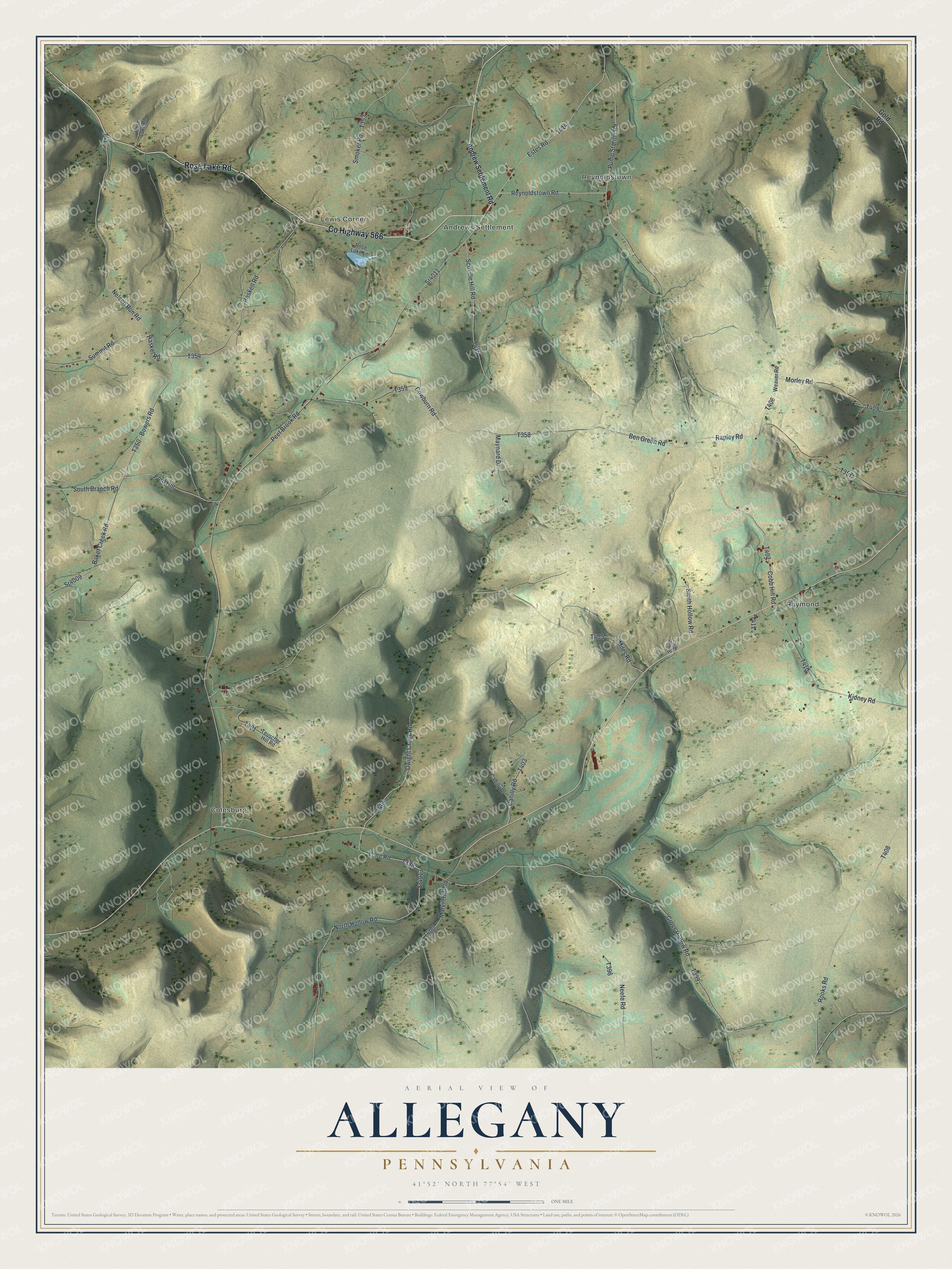
Created by KNOWOL in 2026, this map of Allegany suits an office, a den or the wall of a hunting camp. The ridges are shaded from USGS elevation data, and the roads are drawn from Census Bureau records. The title panel reads "Aerial View of Allegany, Pennsylvania," with the coordinates 41°52' North, 77°54' West and a one-mile scale bar.
It makes a good present for anyone who grew up in Allegany Township, has family near Andrews Settlement or Raymond, or now lives a long way from Potter County. Open the preview, zoom in and find the road you know. Shop the Allegany, Pennsylvania map.