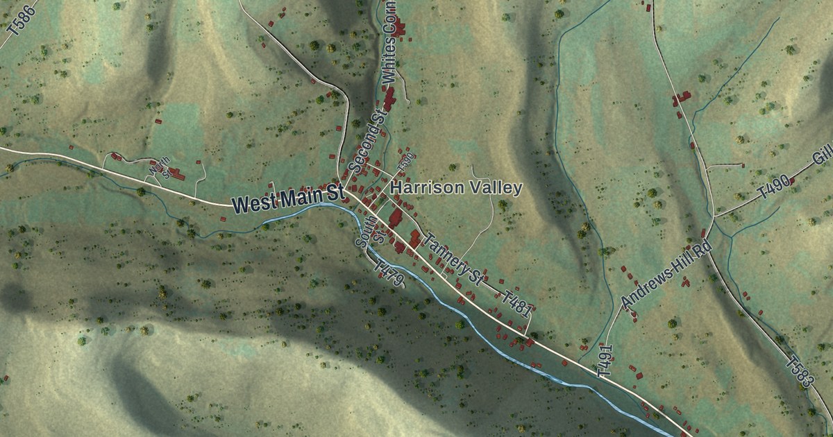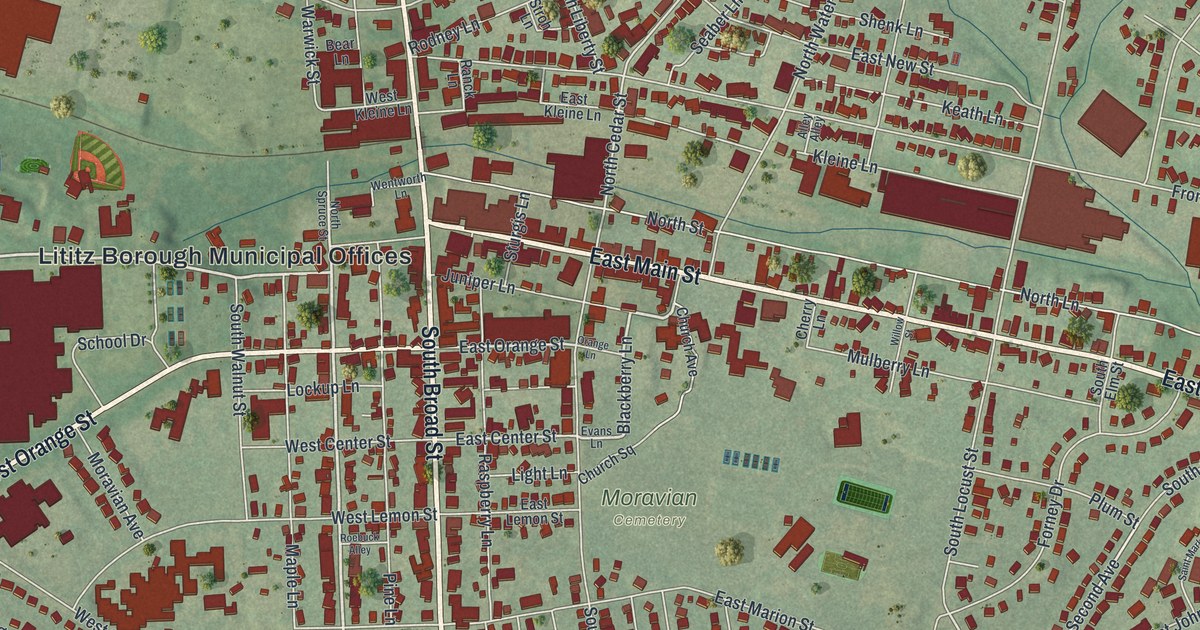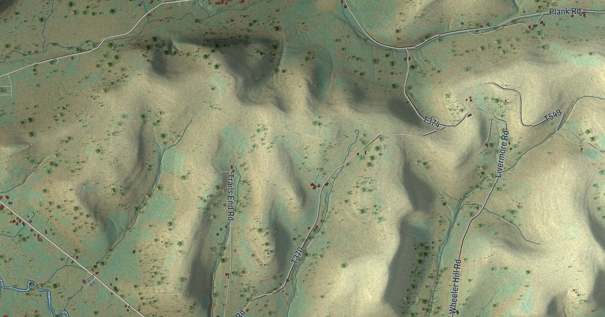
If you grew up along the creek at Sharon Center or Millport, or still have family on the back roads near Honeoye, this map gives you plenty to find. It's a modern aerial view of Sharon Township in Potter County, Pennsylvania, made from modern data and printed with a vintage feel. Green and gold hills fill the sheet, cut by deep hollows. A creek winds across the sheet from the lower right to the upper left. Five places are named: Sunnyside, East Sharon, Honeoye, Sharon Center and Millport. Small dark red marks show the buildings along the roads. Explore the print options for Sharon, Potter County.
Sharon Center, East Sharon and Millport
Start at Sharon Center, near the middle of the sheet. Wild Cat Road heads east from there into the hills. Post Hollow Road drops south to meet Dug Road. Now go back to Wild Cat Road and turn north on Wheeler Hill Road. It runs up to Plank Road, and Plank Road runs west to East Sharon. From East Sharon, Honeoye Road heads northeast to Honeoye. Butter Creek Road branches off to the east there. Over on the left side, Sunnyside Road runs south from Sunnyside. Down at the lower right, Eleven Mile Road runs through Millport. Canada Hollow Road crosses the bottom of the sheet from Shaytown Road toward Millport. Many of the roads are labeled, so zoom in on the preview and look for yours.
The creek isn't labeled on the print. An 1890 Potter County history puts Sharon Center in the Oswayo Creek valley, stretched along the road to Shinglehouse. It puts Millport where the Oswayo meets Eleven Mile Creek. In 1827, Joseph Fessenden came from Madison County, New York, and built the first house in Millport. He had seven boys. His son Joel later remembered times when the settlers went three months without bread. They lived mostly on potatoes.
Joel told how Benjamin Burt once loaded his wagon with his neighbors' grain. Then he set off for the mill with a four-ox team. After Burt left, Isaac Lyman said, "When Burt gets back I will have one good meal of bread." By 1871, Millport had two sawmills, general stores, lumber yards and a schoolhouse. In 1880 the township had 1,055 people, and 49 of them lived in Millport. On the preview, look for the red buildings at Millport, where Eleven Mile Road and Canada Hollow Road come into the valley.
For anyone from Sharon Center, Millport or Honeoye
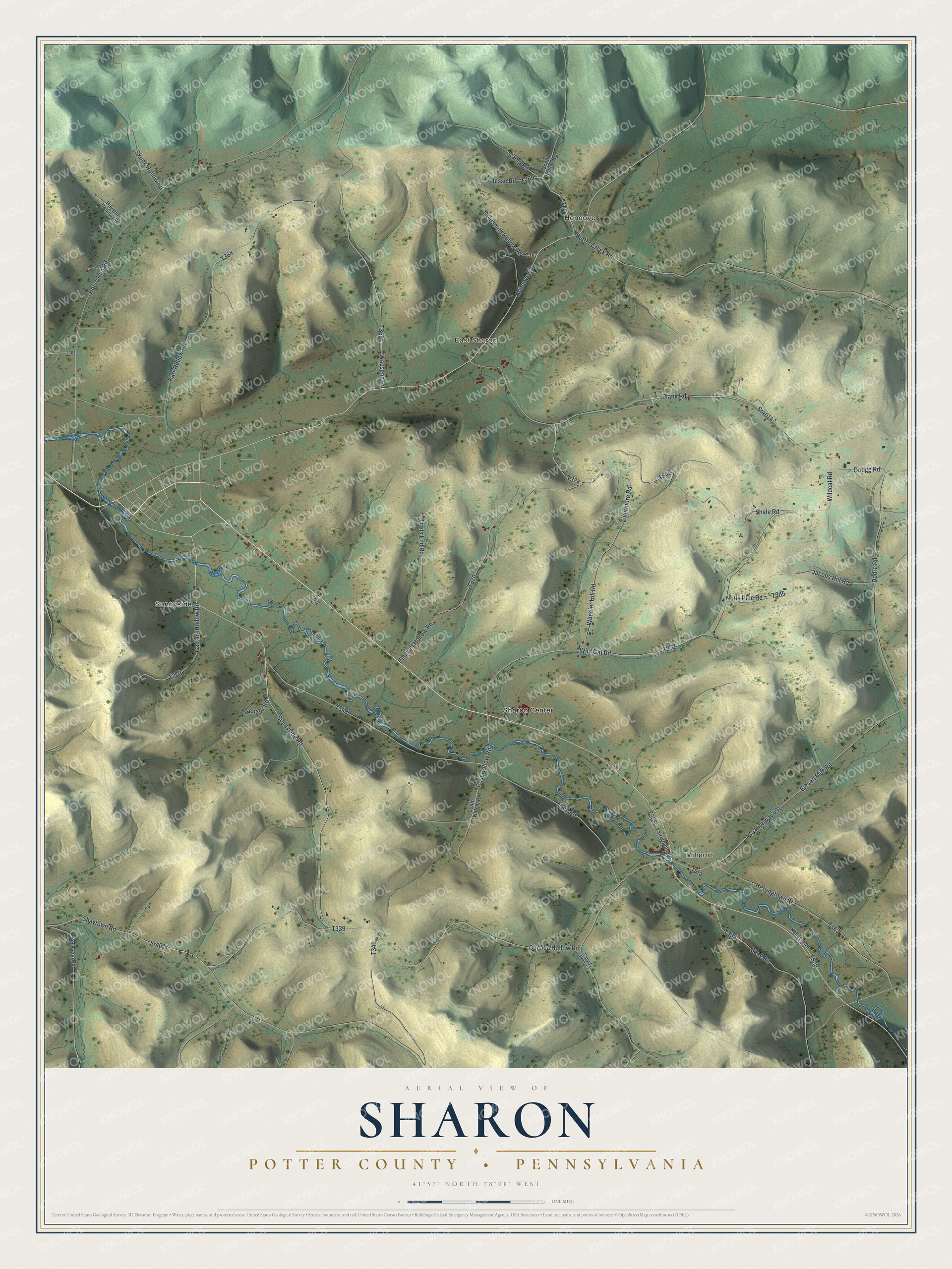
Created by KNOWOL in 2026, this map of Sharon Township shows the hills in soft shades of green and gold, with shading built from USGS elevation data. The creek is drawn in blue as it winds through the valley past Millport and Sharon Center. The title panel reads "Aerial View of Sharon" above "Potter County, Pennsylvania," with the coordinates 41°57' North 78°08' West and a one-mile scale bar.
It suits a den, a kitchen or a camp wall. It's a thoughtful gift for someone who grew up in Sharon Township, has family on these roads or moved away from these hills. Open the watermarked preview and find the road you know. Shop the Sharon, Potter County, Pennsylvania map.