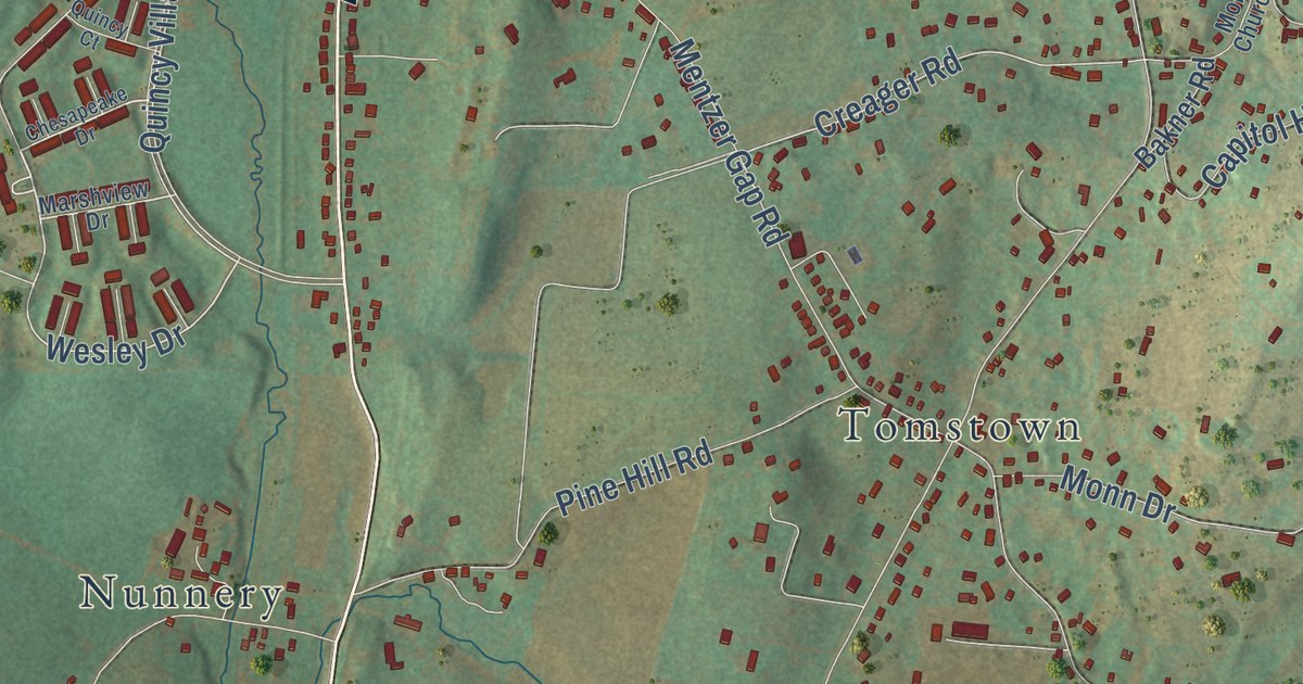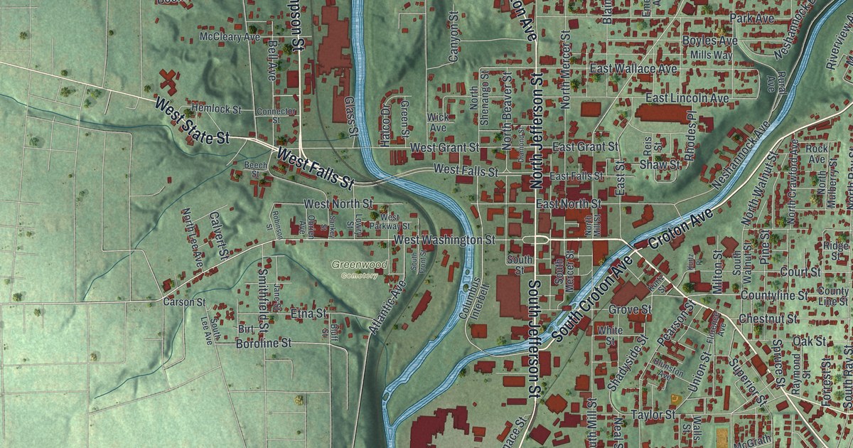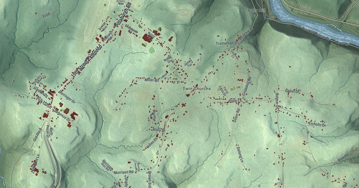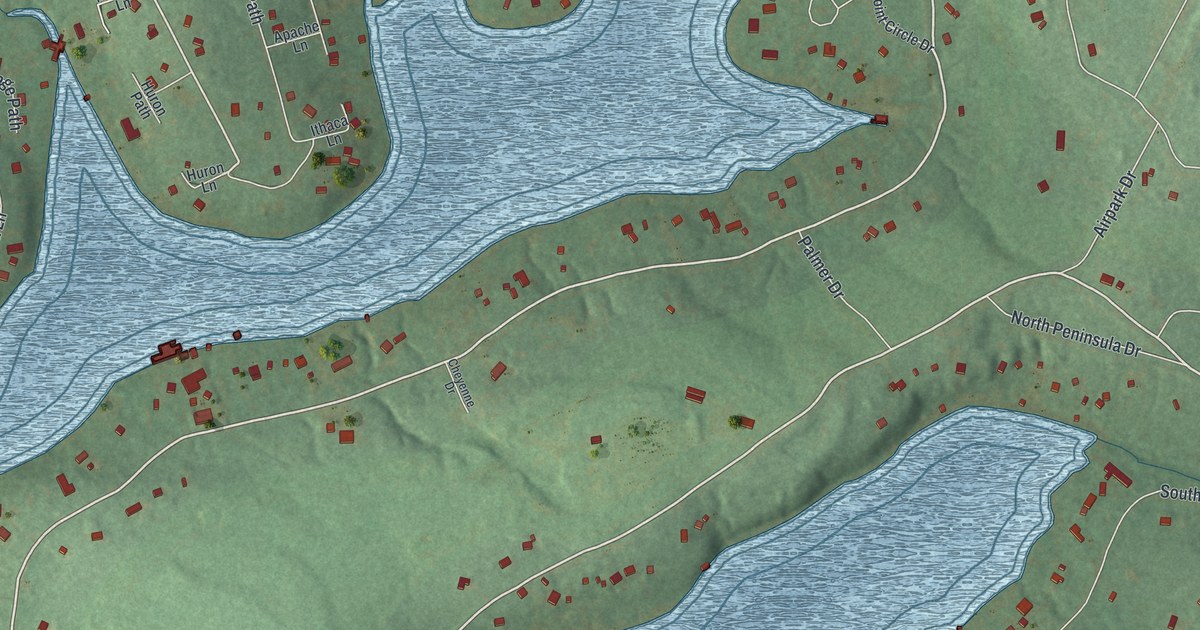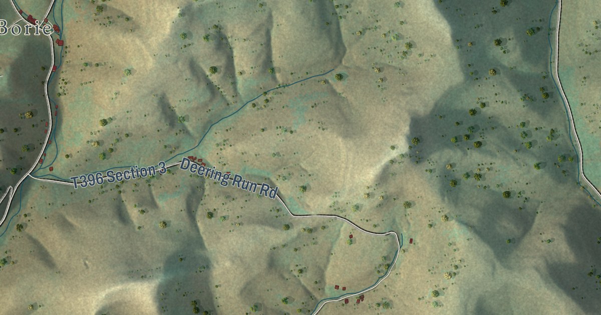
This beautifully detailed map of Summit, Potter County, Pennsylvania was created in 2026 using aerial imagery combined with modern topographical, census, street and landmark data. It’s a one-of-a-kind view of Summit that combines accurate data with a vintage aesthetic. The map shows every building in its true location, many of the roads carry their names, and the shaded topographic relief shows the shape of the land.
Explore an aerial view of Summit, Potter County, Pennsylvania
On the map you’ll find Borie, Susquehannock State Forest, T394 Section 2, and Trail 400, along with Cherry Springs Road, Coudersport-Jersey Shore Highway, Sunken Branch Road, North Ayers Hill Road, Predmore Road, First Fork Road, and more. If you look closely you can even find your house accurately drawn in its correct location. Zoom in on the preview to look for yours.
Did you know this about Summit, Potter County, Pennsylvania?
From the History of McKean Elk Cameron and Potter: "Summit township, however well it deserves its title, has a successful rival in Allegheny. From its high lands flow feeders for the Sinnemahoning, the Allegheny and Pine Creek."
Take a closer look at the Summit, Potter County map
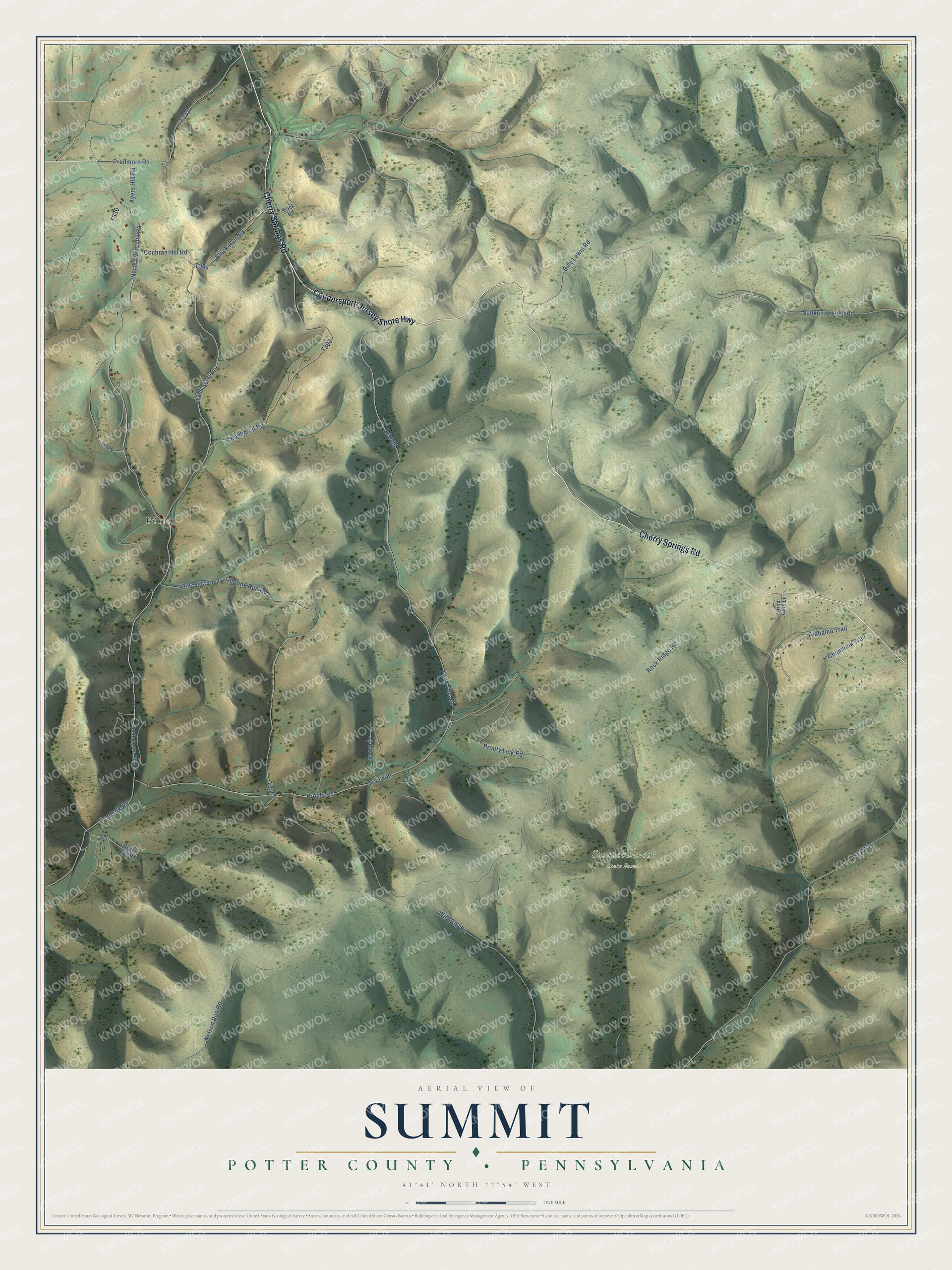
Street and place names on the Summit, Potter County, Pennsylvania map
These names are printed on the map of Summit, Potter County, Pennsylvania.
Places: Borie and Susquehannock State Forest.
Streets and roads: Cherry Springs Road, Coudersport-Jersey Shore Highway, Sunken Branch Road, North Ayers Hill Road, Predmore Road, Trail 400, Sr3001, Sr3005, First Fork Road, Rock Ridge Road, Long Toe Road, Nelson Run Road.
More street names, A to Z
Alabama Trail, Apple Drive, Ayers Hill Road, Beech Run Road, Billy Lewis Road, Black Hole Road, Buck Road, Chipmunk Trail, Cochran Hill Road, Deering Run Road, Kaple Hill Road, Prouty Lick Road, Prouty Road, Red Gate Lane, South Ayers Hill Road, Wild Boy Road.
See the Summit, Potter County, Pennsylvania map on a wall
The Summit, Potter County map as an 18 x 24 inch print in a black frame.

This beautifully detailed map of Summit, Potter County makes an attractive addition to your office, library, or den, and it can even be used to teach children the geography and history of the area. It also makes a great gift for anyone who grew up in Summit or moved away. When you’re done exploring, click here to get your copy of the Summit, Potter County map.