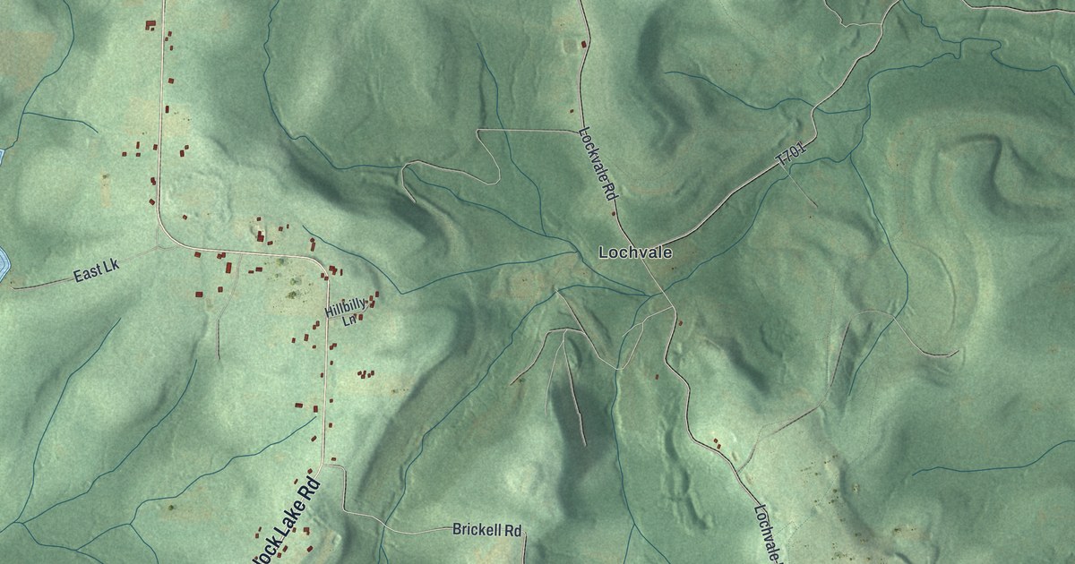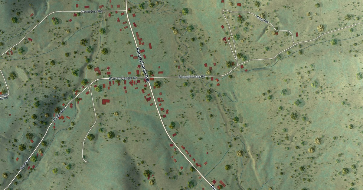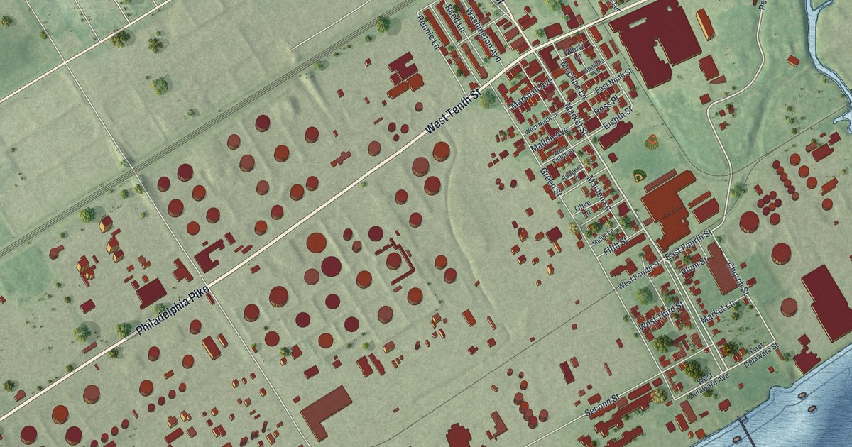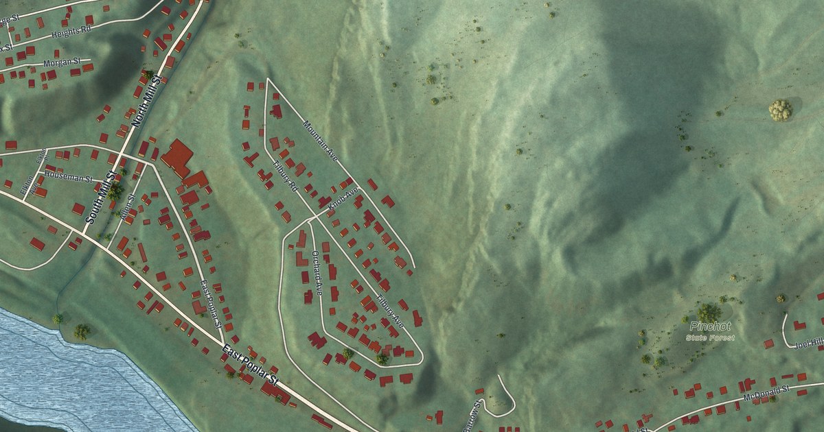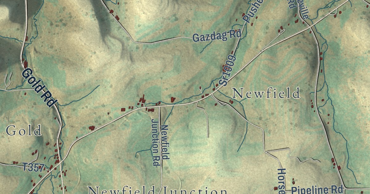
This beautifully detailed map of Ulysses Township, Pennsylvania was created in 2026 using aerial imagery combined with modern topographical, census, street and landmark data. It’s a one-of-a-kind view of Ulysses Township that combines accurate data with a vintage aesthetic. The map shows every building in its true location, many of the roads carry their names, and the shaded topographic relief shows the shape of the land.
Explore an aerial view of Ulysses Township, Pennsylvania
On the map you’ll find Gold, Newfield, Newfield Junction, Telescope, Walton, Denton Hill State Park, Susquehannock State Forest, Brookland, and Fox Hill, along with North Brookland Road, South Brookland Road, Gold Road, and more. If you look closely you can even find your house accurately drawn in its correct location. Zoom in on the preview to look for yours.
Take a closer look at the Ulysses Township map
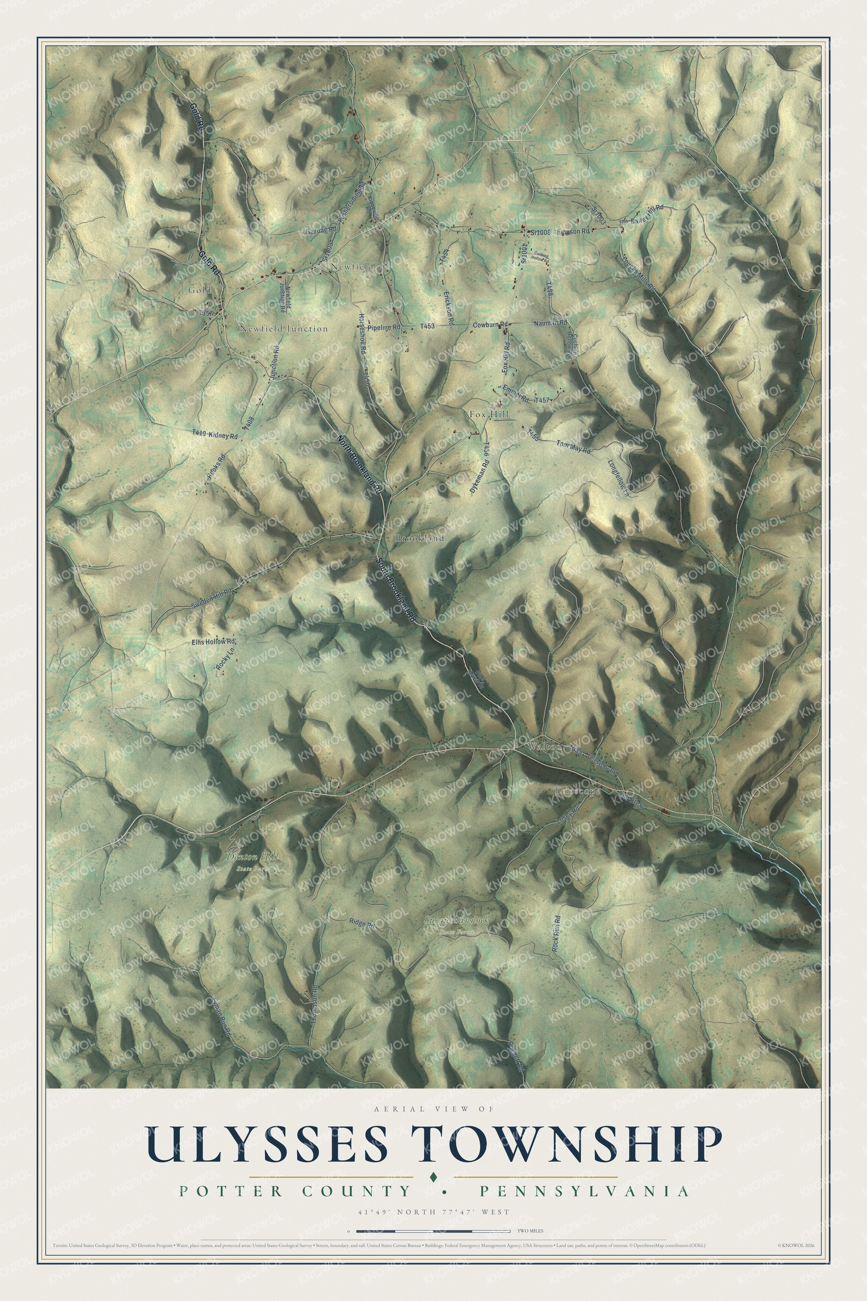
Street and place names on the Ulysses Township, Pennsylvania map
These names are printed on the map of Ulysses Township, Pennsylvania.
Places: Gold, Newfield, Newfield Junction, Telescope, Walton, Denton Hill State Park, Susquehannock State Forest, Brookland and Fox Hill.
Streets and roads: North Brookland Road, South Brookland Road, Gold Road, Sr1001, Fox Hill Road, Loucks Mills Road, Junction Road, Rock Run Road, Ridge Road, Thompson Road, Horseshoe Road, Lyman Run Road.
More street names, A to Z
Bailey Hill Road, Cowburn Road, Cushing Hollow Road, Cushion Hollow Road, Doggett Road, Dykeman Road, Ellis Hollow Road, Emmel Road, Empson Road, Erickson Road, Gazdag Road, Kibbeville Road, Kidney Road, Longfellow Lane, Losey Road, Nauman Road, Newfield Junction Road, Old Route 6, Pine Marsh Drive, Pipeline Road, Pushersiding Road, Rocky Lane, Rooks Road, Sr1003, Sr1008, Sr1009, Sweden Hill Road, Telescope Road, Tom May Road.
See the Ulysses Township, Pennsylvania map on a wall
The Ulysses Township, Potter County map as an 18 x 24 inch print in a black frame.

This beautifully detailed map of Ulysses Township makes an attractive addition to your office, library, or den, and it can even be used to teach children the geography and history of the area. It also makes a great gift for anyone who grew up in Ulysses Township or moved away. When you’re done exploring, click here to get your copy of the Ulysses Township map.