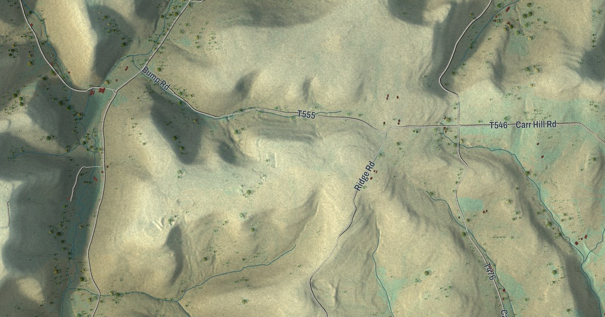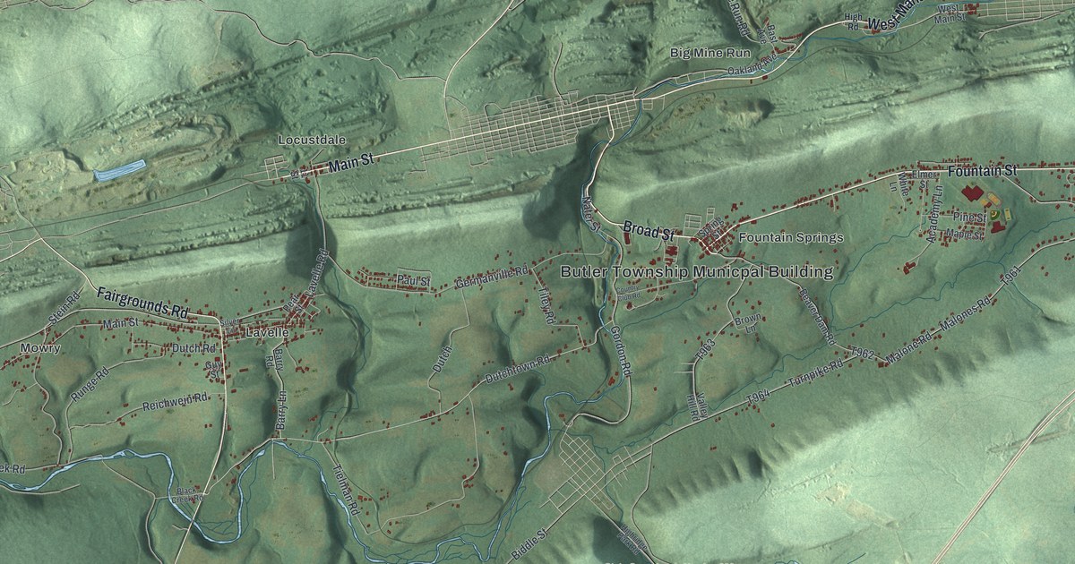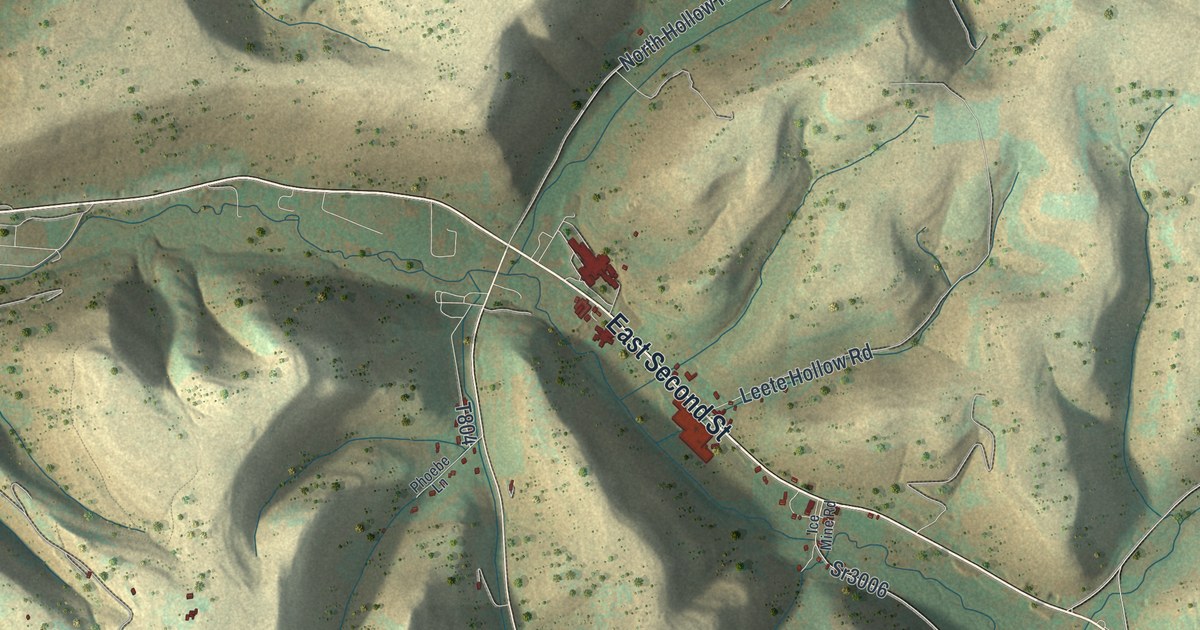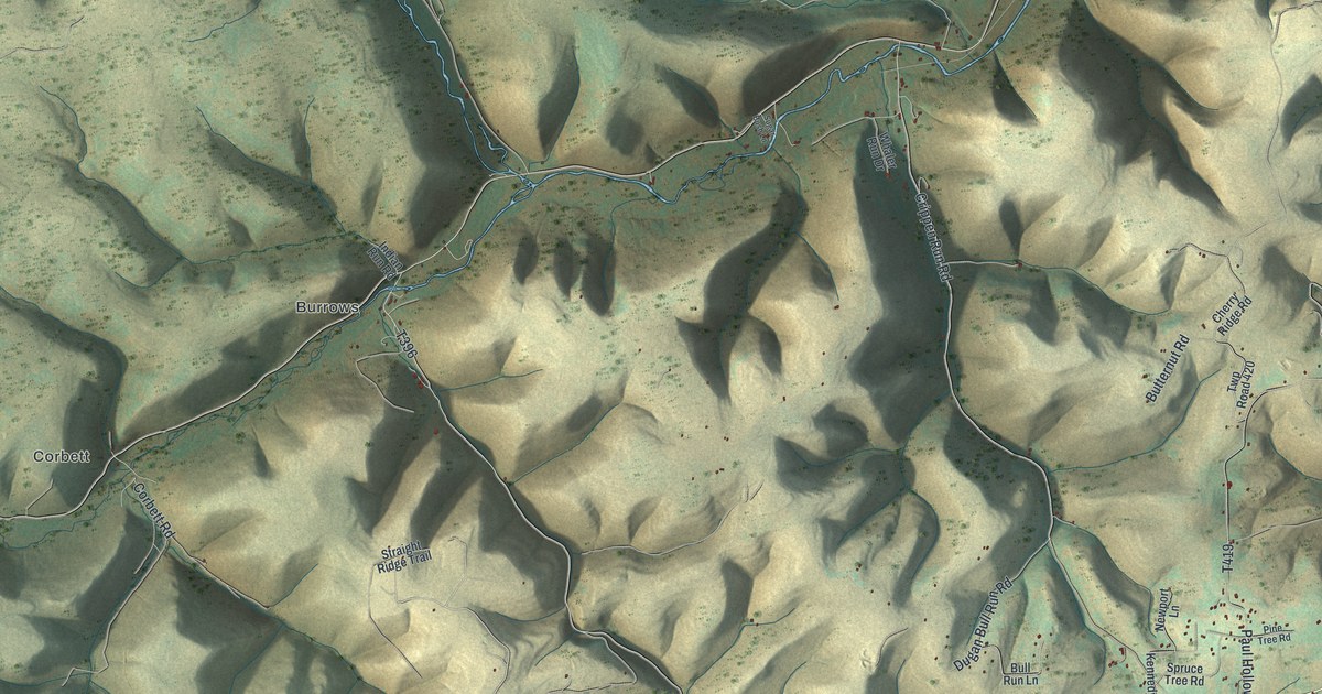
If you live out on Paul Hollow Road, have family in West Branch Township, or keep a camp up one of these hollows, this map shows the country you know. This is West Branch Township in Potter County, Pennsylvania, seen from above in a modern aerial view made with modern data and a vintage look. Steep green ridges fill the sheet, and deep hollows run between them. Corbett and Burrows are named on the left half. Germania Road runs down the right side, and more than 1,400 buildings are marked in small red shapes. Explore the print options for West Branch.
From Corbett and Burrows to Germania Road
Start at Corbett, on the left side of the map, where West Branch Road runs past. Corbett Road heads south from there toward the bottom left corner. Cherry Springs Road crosses below it, and some of its labels read Coudersport-Jersey Shore Hwy instead. Lost Bear Lane and Chipmunk Trail branch off it. Now go back to Corbett and look up and to the right. Burrows sits near the middle of the sheet, with Notch Road and Indian Run Road running past it. Up and to the left, the map prints Susquehannock State Forest. Along the top, Lyman Run Road runs from the left edge toward the center. It passes a small lake that isn't labeled, and Rock Run Road comes down to meet it.
Now jump to the top right corner. Germania Road starts there, at a small cluster of buildings where Adams Street meets it. Follow it south. It meets Hill Hollow Road and then Paul Hollow Road, and the Button Hollow label sits right beside it. Most of the township's buildings are below that, in the bottom right. Look for Crippen Run Road, Spruce Tree Road, Pigeon Hill Road and Straley Road there. Many of the roads are labeled, and each small red mark is a building, so zoom in on the preview and look for yours.
The 1890 county history says the headwaters of Kettle Creek rise in West Branch. The creek joins Little Kettle at the village of Germania, then flows southwest past Oleona. Kettle Creek isn't labeled on this map, and neither is Germania. But you can see thin blue streams running down the hollows, and the shading comes from USGS elevation data, so the ridges show the real shape of the land.
Back on the left side, a state historical marker stands on Cherry Springs Road near West Branch Road, at Cherry Springs State Park. It's titled "Ole Bull's Colony." It says the 11,144 acres the Norwegian violinist bought in 1852 lay southeast of that spot. The Cherry Springs Picnic Pavilion is in the park too. It was added to the National Register of Historic Places in 1987. The park and the pavilion aren't labeled, but both roads are, so you can find about where they stand.
For anyone with a camp off Cherry Springs Road or Germania Road
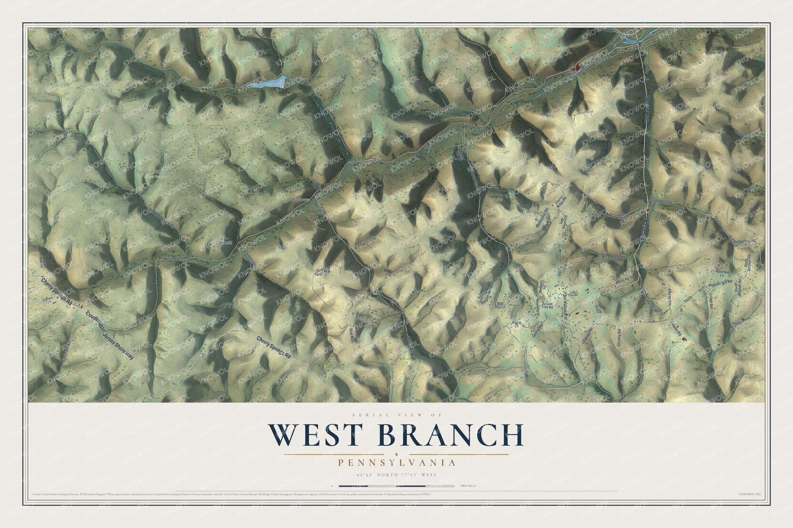
Created by KNOWOL in 2026, this map of West Branch fits a camp wall, a den or an office. The hills are shaded in sage green and sand, with the roads and buildings drawn on top. The title panel reads "Aerial View of West Branch, Pennsylvania," with the coordinates 41°42' North, 77°43' West and a two-mile scale bar.
It's a thoughtful gift for someone who grew up near Corbett or Burrows, moved away from Potter County, or comes back to camp every year. Open the preview, zoom in and find the road you drive in on. Shop the West Branch, Pennsylvania map.