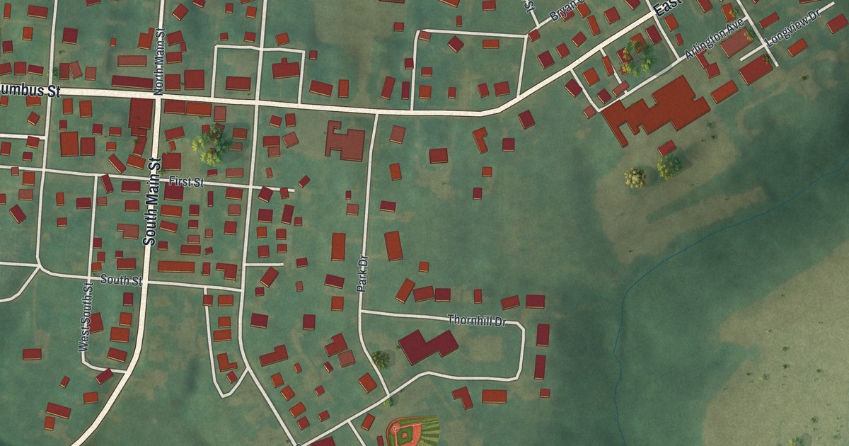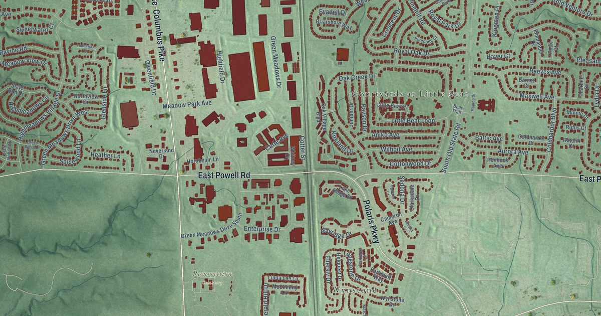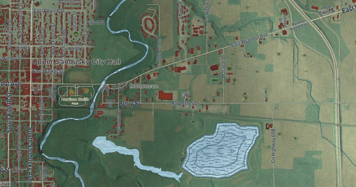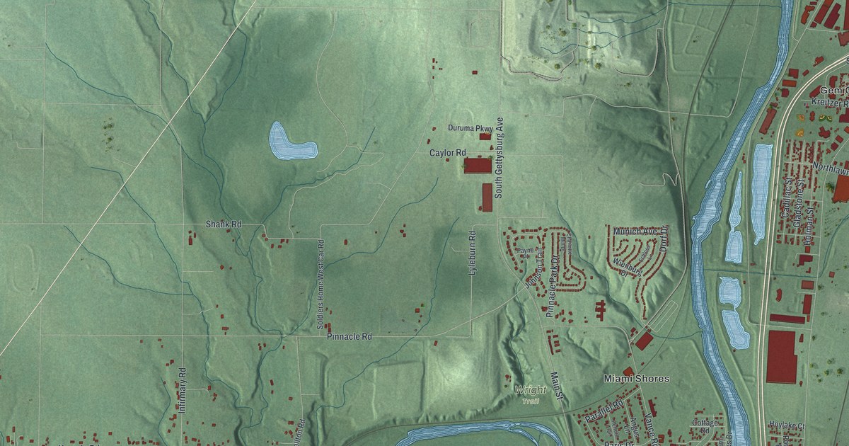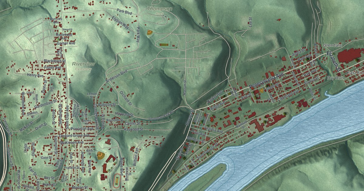
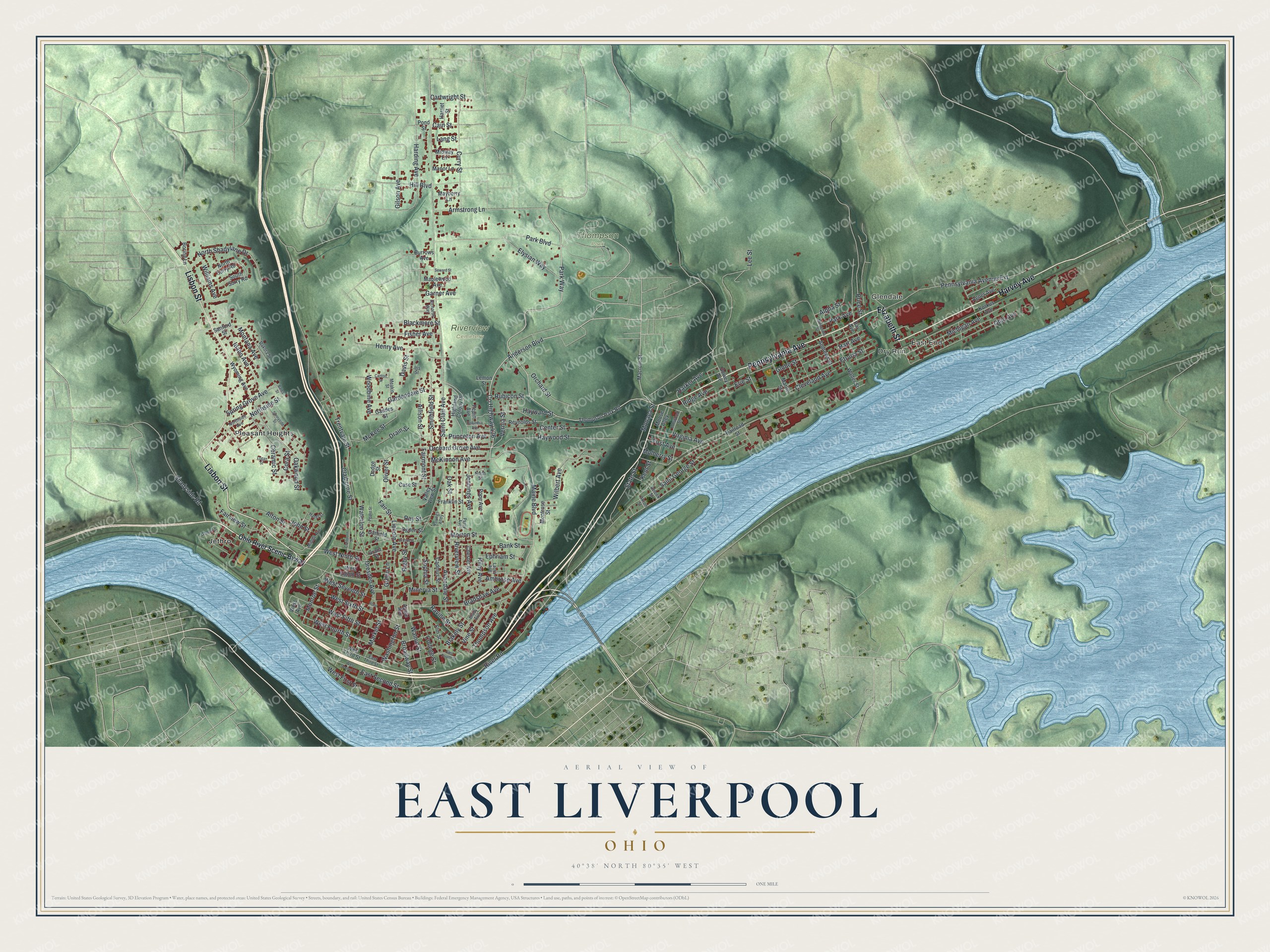
This beautifully detailed map of East Liverpool, Ohio was created in 2026 using aerial imagery combined with modern topographical, census, street and landmark data. It’s a one-of-a-kind view of East Liverpool that combines accurate data with a vintage aesthetic. The map shows every building in its true location, many of the roads carry their names, and the shaded topographic relief shows the shape of the land.
Explore an aerial view of East Liverpool, Ohio
On the map you’ll find East End, Dry Run, Glendale, Riverview Cemetery, Thompson Park, Jethro, and Pleasant Heights, along with Pennsylvania Avenue, Elizabeth Street, Harvey Avenue, Lisbon Street, Park Way, and more. If you look closely you can even find your house accurately drawn in its correct location. Zoom in on the preview to look for yours.
Did you know this piece of East Liverpool, Ohio history?
English potter James Bennett built the first bottle kiln in East Liverpool in 1839. Potters from Staffordshire, England, soon poured in for higher wages and the chance to own land. From 1880 to 1950 the city’s potteries made two-thirds of the nation’s toilet and table wares. It became known as the Crockery City.
Take a closer look at the East Liverpool map
Street and place names on the East Liverpool, Ohio map
These names are printed on the map of East Liverpool, Ohio.
Places: East End, Dry Run, Glendale, Riverview Cemetery, Thompson Park, Jethro and Pleasant Heights.
Streets and roads: Pennsylvania Avenue, Elizabeth Street, Harvey Avenue, Lisbon Street, Park Way, Anderson Boulevard, Maine Boulevard, County Highway 436, Monroe Street, Orchard Grove Avenue, Northside Street, Cain Street.
More street names, A to Z
Agner Avenue, Akron Street, Allison Street, Alpha Street, Alton Street, Ambrose Avenue, Andrews Street, Apple Avenue, Armstrong Lane, Avondale Street, Bank Street, Bates Street, Bay Avenue, Beleek Street, Blackmore Street, Blakely Street, Boring Lane, Bradshaw Avenue, Brady Avenue, Broadway Street, Burrows Avenue, Cadmus Street, Canton Street, Cartwright Street, Case Street, Center Street, Ceramic Street, Chester Avenue, Claiborne Street, Claibourn Street, Cleveland Avenue, College Street, Columbia Avenue, Cora Street, Curry Street, Dakota Street, Davis Street, Dewey Avenue, Dodge Street, Drain Street, Dresden Avenue, East Fourth Street, East Second Street, East Third Street, Elm Street, Elmwood Street, Elysian Way, Ephriam Street, Erie Street, Etruria Street, Fairmont Street, Fair Street, Fairview Street, First Avenue, Fisher Avenue, Franklin Street, Gaddes Street, Gardendale Street, Garfield Street, Garner Avenue, Gilson Avenue, Globe Street, Grant Street, Green Lane, Harding Avenue, Harker Avenue, Harriet Street, Hart Avenue, Hayward Street, Haywood Street, Hazel Street, Henry Avenue, Highland Colony Place, Hill Boulevard, Idaho Avenue, Iris Street, Jennings Avenue, John Street, Kent Street, Korkus Avenue, Lang Street, Laura Avenue, Lee Street, Lemon Street, Leonard Street, Lincoln Avenue, Logan Street, Macrum Street, Manor Lane, Maplewood Avenue, Market Street, Martin Street, Mayberry Lane, McKee Street, McKinnon Avenue, Meakin Street, Michigan Avenue, Middle Avenue, Midway Lane, Minerva Street, Minnesota Street, Monaca Street, Montana Avenue, Montrose Street, Moose Alley, Morton Street, Mulberry Street, North Shadylane Drive, Northside Avenue, North Street, North Surry Road, Oak Street, Oakwood Street, Ogden Street, Ohio Avenue, Ohio River Scenic Byway, Oliver Street, Orchard Street, Park Avenue, Park Boulevard, Peake Street, Pennsylvania Avenue Extension, Pepin Avenue, Perry Avenue, Pond Street, Pope Avenue, Price Street, Princeton Avenue, Prospect Street, Railroad Street, Ravine Street, Ray Street, Reynolds Street, Richards Way, Ridge Avenue, Rigby Street, Riley Avenue, River Road, Riverview Street, Rubicon Street, Rural Lane, Saint Clair Avenue, Saint George Street, Sanford Street, Seward Street, Shadyside Road, Smithfield Street, Sophia Street, South Surry Road, Spring Grove Avenue, State Street, Sunnyside Street, Thompson Avenue, Thompson Park Road, Trentvale Street, Valley View Street, Vernia Street, Vine Street, Virginia Avenue, Walnut Street, Walter Street, Washington Street, Waterloo Street, West Avenue, West Eighth Street, West Fifth Street, West First Street, West Fourth Street, West Ninth Street, West Second Street, West Seventh Street, West Sixth Street, West Third Street, Wilbert Avenue, Williams Avenue, Woodbine Avenue, Wyoming Avenue, Youngs Alley.
See the East Liverpool, Ohio map on a wall
The East Liverpool map as an 18 x 24 inch print in a black frame.

This beautifully detailed map of East Liverpool makes an attractive addition to your office, library, or den, and it can even be used to teach children the geography and history of the area. It also makes a great gift for anyone with East Liverpool roots. When you’re done exploring, click here to get your copy of the East Liverpool map.