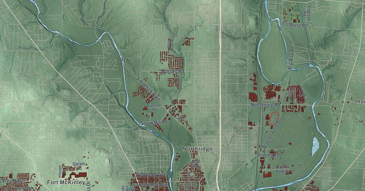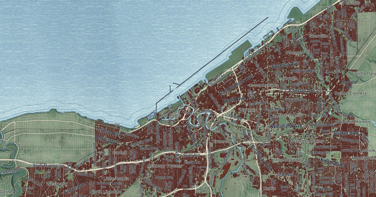
If you grew up in Cleveland, whether in Collinwood, Tremont, Slavic Village or out by Kamms Corner, this map puts the whole city on one sheet. It's a modern aerial view of Cleveland in Cuyahoga County, Ohio, made from modern data and given a vintage look. Lake Erie isn't labeled, but its blue water fills the top of the print. The city runs in a long red band along the shore, from the west side to the far northeast corner. Each building is drawn in dark red, and the land around the city is shaded green. Explore the print options for Cleveland.
Euclid Avenue, Woodland Avenue and the public bath houses
Start downtown, in the middle of the sheet, where the Cuyahoga River bends into the lake. The river isn't labeled, but its curves are easy to spot. Euclid Avenue heads east from there. Follow it out to Doans Corners, where East Boulevard crosses. Mayfield Road branches off Euclid and runs east to Little Italy. Closer to the lake, Saint Clair Avenue runs northeast all the way to Collinwood in the top right corner. Now go back downtown. Broadway Avenue heads southeast past Little Bohemia, and Fleet Avenue meets it at Slavic Village. On the west side, Lorain Avenue runs west past Little Arabia to Kamms Corner. There it meets Rocky River Drive beside a winding green valley. Brookpark Road runs along the bottom of the sheet. Street names are printed across much of the city, and each red shape is a building. Zoom in on the preview and find the block you know.
Woodland Avenue has a story of its own. The Woodland Public Bath House opened there in 1915. It had showers for men and women, a gym with a 53-yard running track, and an indoor pool in the basement. Upstairs were a club room, a small city library and two clinics, one of them for babies. Most of the people who used it were Hungarian. Slovak, Bohemian, Italian, Lithuanian and Jewish neighbors came too. In 1918, the city figured that 254,508 people had used it. That count comes from Ohio's historical marker for the Woodland bath house. Look along Woodland Avenue on the map and you'll find Big Italy and Dutch Alley printed beside it. Little Bohemia sits just to the south.
Two more bath houses opened in 1920. Both were designed by Frederic Betz, the city's first appointed architect. The one on Central Avenue served the Black families of the crowded Central neighborhood. A pool and a gym were added in 1926. The one on Saint Clair Avenue had a big gym, a pool and a laundry. City Council named it for the late Raymond Chapman, a much-loved shortstop for the Cleveland Indians. On October 20, 1944, the East Ohio Gas disaster tore through the nearby streets. The explosions and fires killed 131 people and left nearly 700 without homes. The bath house stood in the impact zone, and it survived. In 1977 it was renamed for Edward J. Kovacic, who ran it in the 1930s and later served on City Council. None of the bath houses are labeled on the map, but Woodland, Central and Saint Clair Avenues are.
For anyone who grew up near Kamms Corner or Collinwood
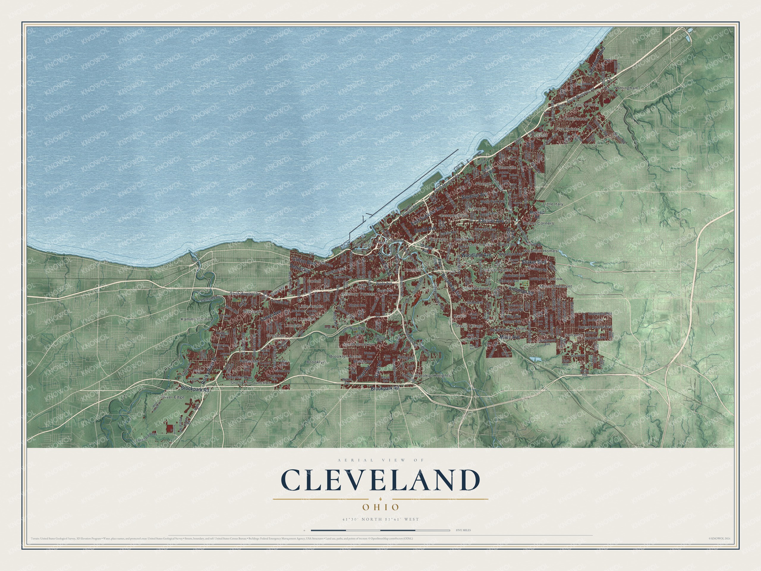
Created by KNOWOL in 2026, this Cleveland map shades the land from USGS elevation data and takes its streets from Census Bureau records. The lake is a soft blue, the city's buildings are dark red, and the country around them is green. The title panel reads "Aerial View of Cleveland, Ohio" above 41°30' North 81°41' West and a five-mile scale bar.
It fits a living room, a kitchen or an office wall. It's a good gift for someone who grew up on the east side or the west side and moved away, or for a family with roots in Slavic Village, Little Italy or Collinwood. Open the preview, zoom in on a street you know and find the house. Shop the Cleveland, Ohio map.