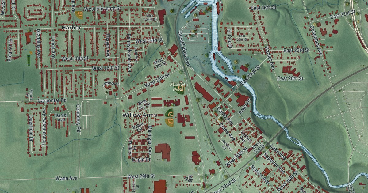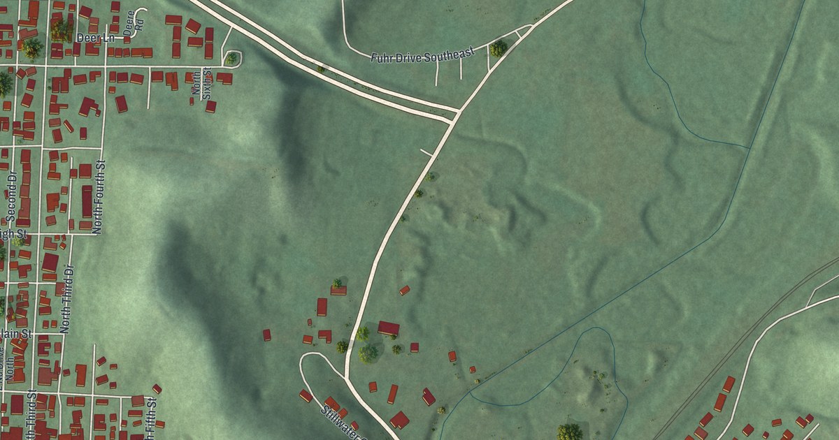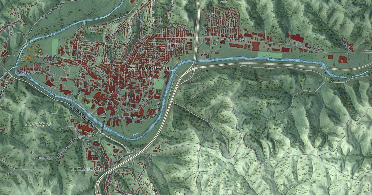
If you went to Ohio University, grew up in Athens, or still have family in these hills, this map gives you a lot to find. It's a modern aerial view of Athens in Athens County, Ohio, made from modern data with a vintage feel. Downtown sits in the middle, packed inside a bend of the river. More than 7,500 buildings are drawn in red. Green hills fold away on every side, and a long lake sits in the hills at the top right. Explore the print options for Athens.
Athens City Hall, Richland Avenue and Longview Heights
Start at Athens City Hall, printed in the middle of town. North Court Street runs up from here, and South Court Street runs down. Now take Richland Avenue south. You'll pass South Green Drive and cross the river, which isn't labeled. Keep going and you'll reach Hooper Street and La Mar Heights. Farther down, Pomeroy Road and Longview Heights Road wind through the hills around Longview Heights. Back in town, Columbus Road heads north to Armitage. East State Street runs east along the valley, just below Sells Park. Many of the roads are labeled, and each red shape is a building, so zoom in on the preview and look for yours.
Ohio University is the story to tell when someone asks about this map. The Ohio Company came up with the idea. The state chartered the school on February 18, 1804. It was the first place of higher learning in the Northwest Territory. The money to run it came from two whole townships set aside for it. It opened on June 1, 1809, as an academy with just three students. The first degrees were handed out in 1815. A marker from the Ohio History Connection tells the story at the corner of Court Street and Union Street.
After World War II, veterans poured into Ohio University. Peden Stadium was used as housing for them, says a second marker. The stadium was dedicated in 1929 with a win over Miami University. It isn't labeled on the map. Find where South Green Drive meets Richland Avenue, and the stadium is just to the east.
A gift for Ohio University grads and Athens families
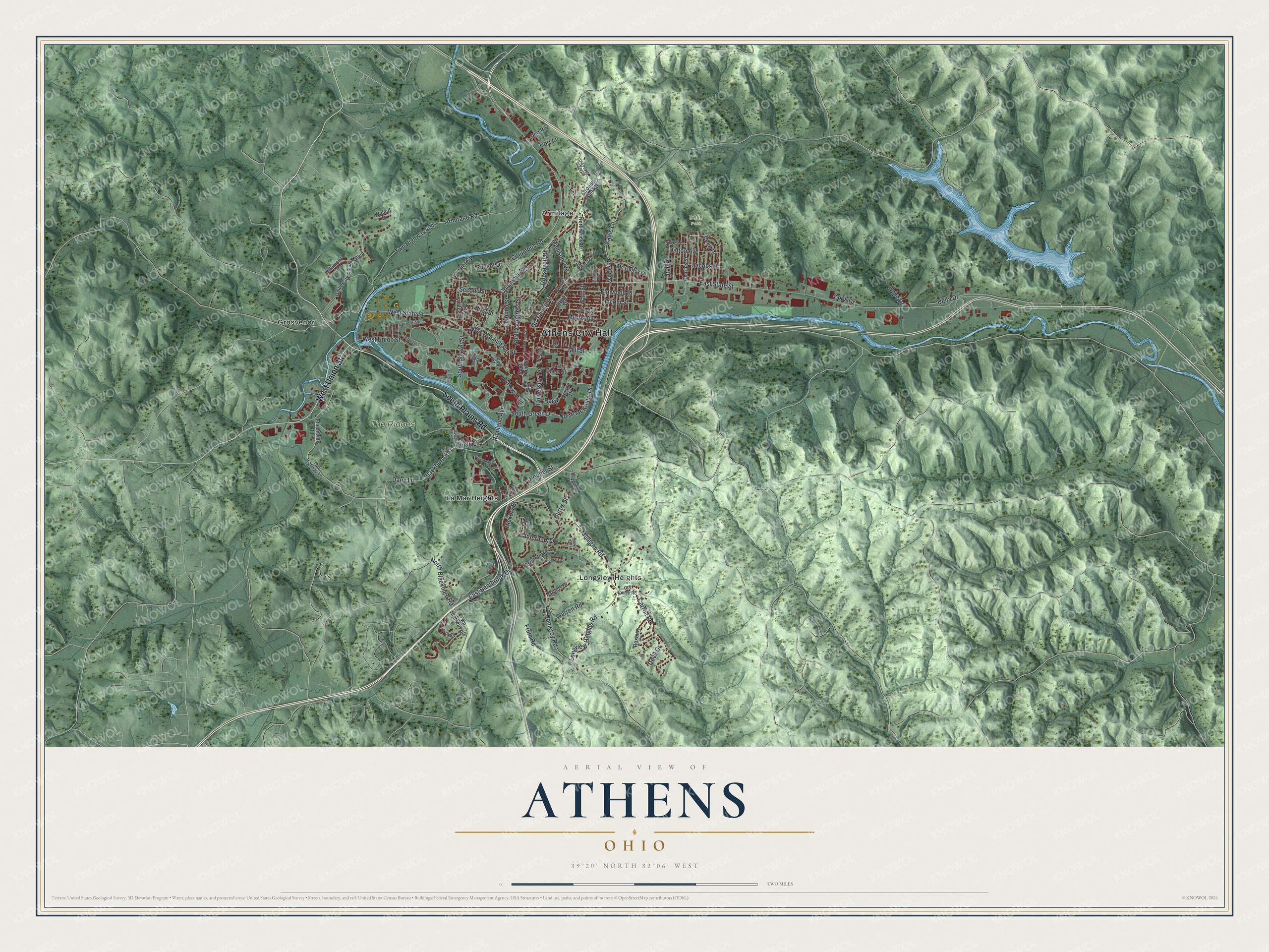
Created by KNOWOL in 2026, this Athens map fits an office, a den or a living room. The hills are shaded from USGS elevation data, and the buildings are drawn in deep red. The title panel reads "Aerial View of Athens, Ohio," with the coordinates 39°20' North, 82°06' West and a two-mile scale bar.
It makes a good gift for a Bobcat who just graduated, a family that sent a kid to school here, or anyone who grew up in Athens and moved away. Open the preview and trace the way from Court Street to a street you know. Shop the Athens, Ohio map.